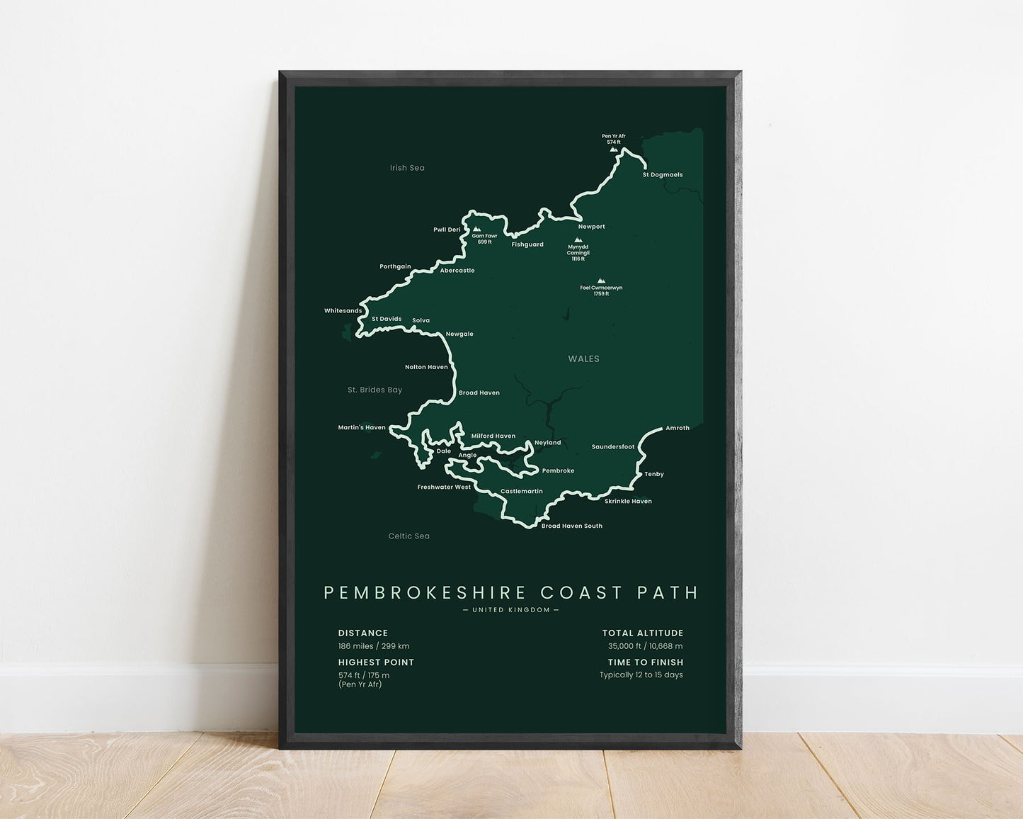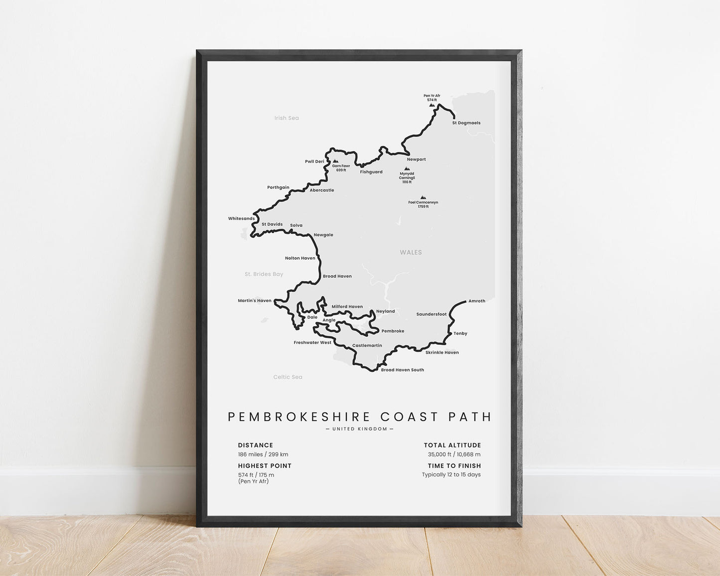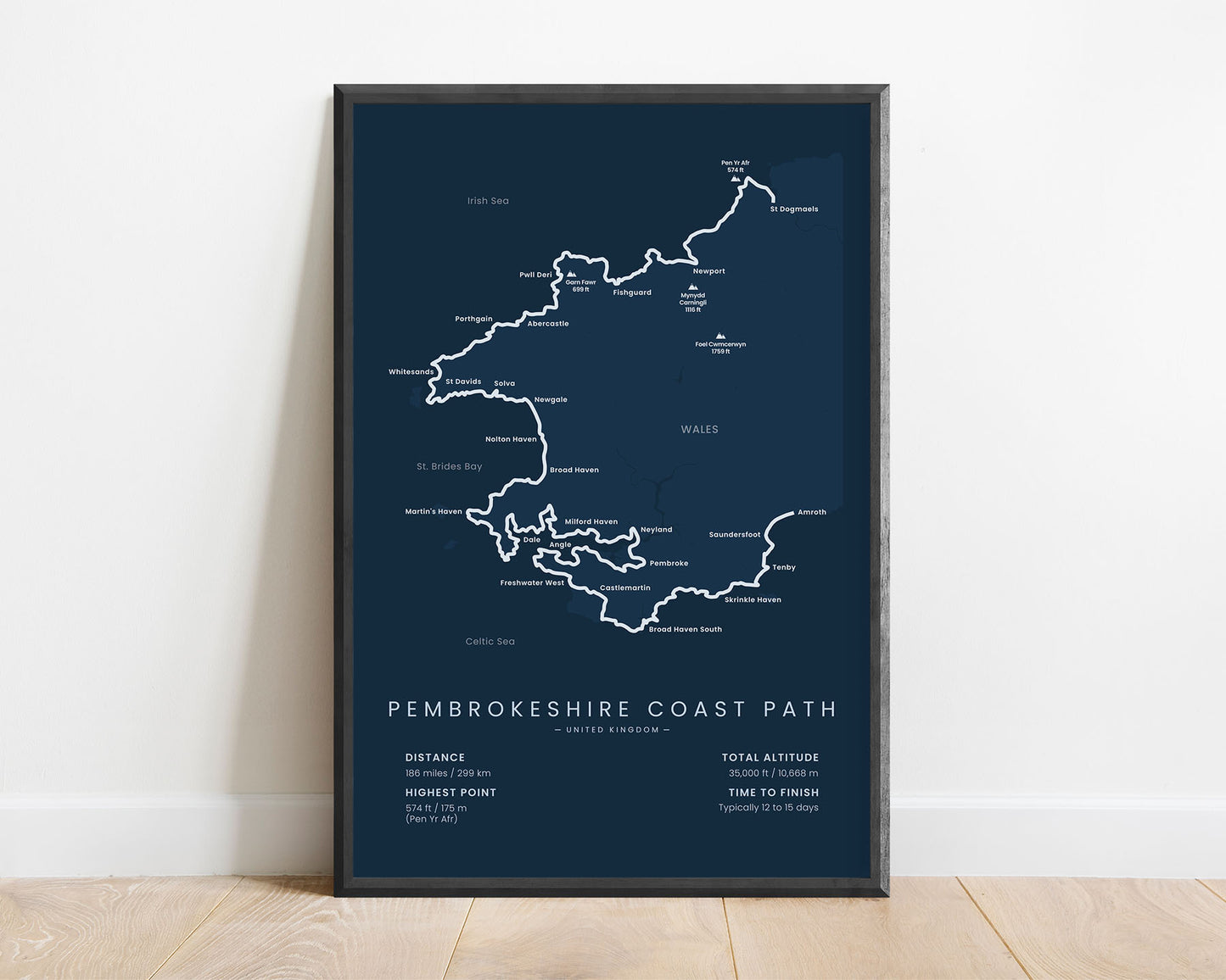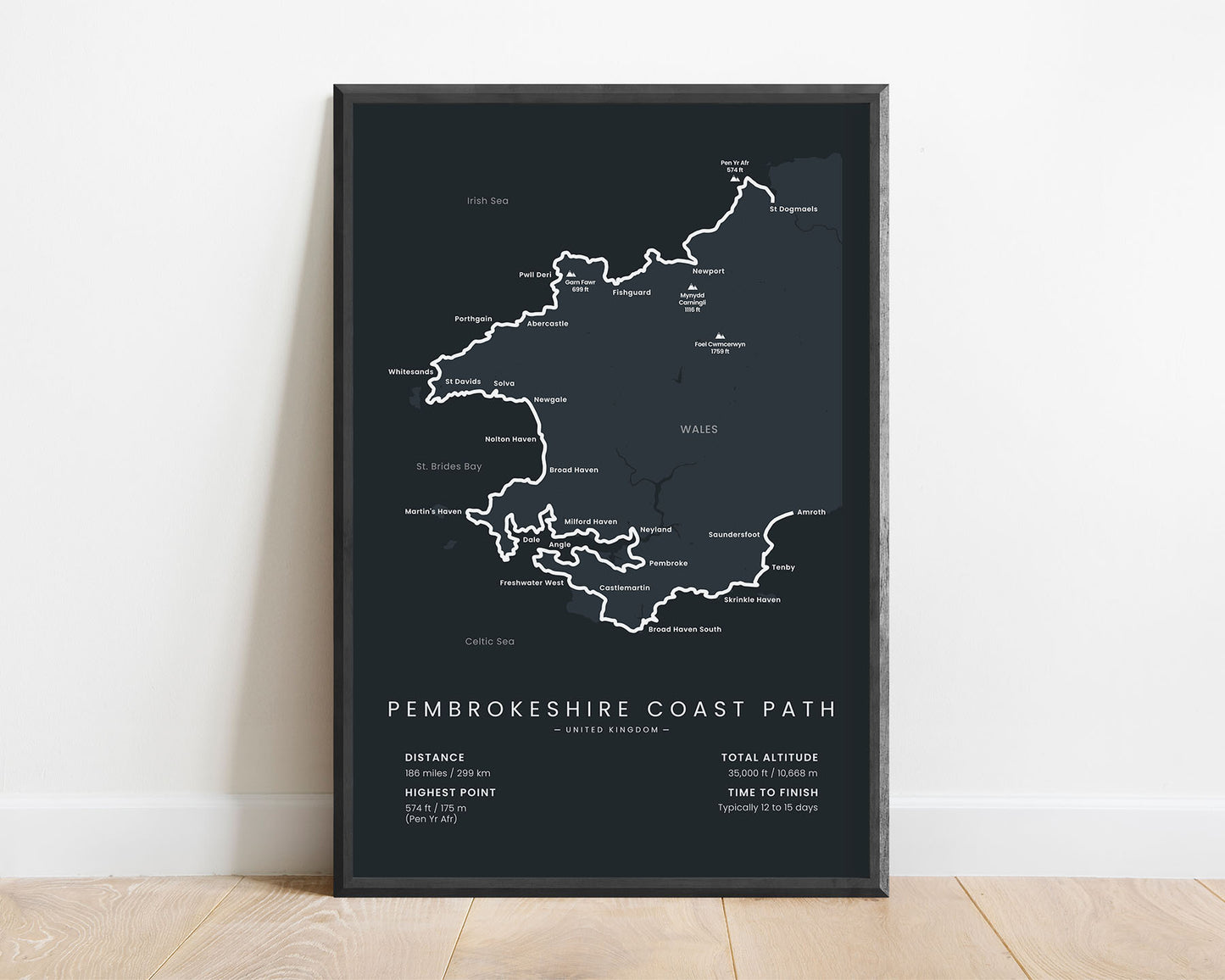


A minimalistic print of the Pembrokeshire Coastal Path hiking trail in Wales, England.
About the Pembrokeshire Coast Path
The Pembrokeshire Coast Path, other called the Pembrokeshire Coastal Path or in Welsh "Llwybr Arfordir Sir Benfro", is a National Trail located in Wales, England. It follows the western coastline along the Pembrokeshire Coast National Park from St Dogmaels to Amroth. It's a section of the Wales Coast Path - a much longer coastal path that covers most of the coastline along Wales. The Pembrokeshire Coast Path is a very popular section of the Wales Coast Path because it offers some of the most spectacular scenery in the region, consisting of pristine beaches, steep cliffs, coastal meadows, and grassy hills with good views.
Statistics About the Pembrokeshire Coastal Path
- Start point: St Dogmaels, Wales, United Kingdom
- End point: Amroth, Wales, United Kingdom
- Total distance: 186 miles / 299 km
- Total altitude gain/loss: 35 000 ft / 10 668 m
- Highest point: 574 ft / 175 m (Pen Yr Afr)
- Countries crossed: United Kingdom
- States crossed: Wales
- Time to finish: Typically 12 to 15 days


