


A poster that shows the Rim to Rim hiking trail in the Grand Canyon (from North Kaibab to Bright Angel Trailhead near the Grand Canyon Village, north rim to south rim). It shows an elevation contour map of the Grand Canyon along with the side trail heading to the South Kaibab Trailhead. It also shows an elevation profile of this trek at the bottom, along with some key points of interest.
About the North Rim Hike
The Rim to Rim hiking trail, also called R2R (or R2R2R) or simply the Grand Canyon Trek, is one of the most commonly walked routes in the Grand Canyon National Park, in Arizona, United States. There are many variations for this trek, which are 1) From the North Kaibab Trailhead to the Bright Angel Trailhead / North Rim to South Rim; 2) From the South Kaibab Trailhead to the North Kaibab Trailhead / South Rim to North Rim; 3) From the South Kaibab Trailhead to the Bright Angel Trailhead / South Rim to South Rim; 4) From the South Kaibab Trailhead to the North Kaibab Trailhead, and then back to south to the Bright Angel Trailhead / South Rim to North Rim to South Rim. Some key points of interest along the way are the Ribbon Falls Waterfall, the Phantom Ranch, the Colorado River, and a few official campsites and rest areas along the trek. It's a difficult trek because of the huge elevation gain, steep ascents and descents, and a very hot and dry climate. It's also one of the most popular one-day / multi-day treks in the United States.

High Quality Matte Prints
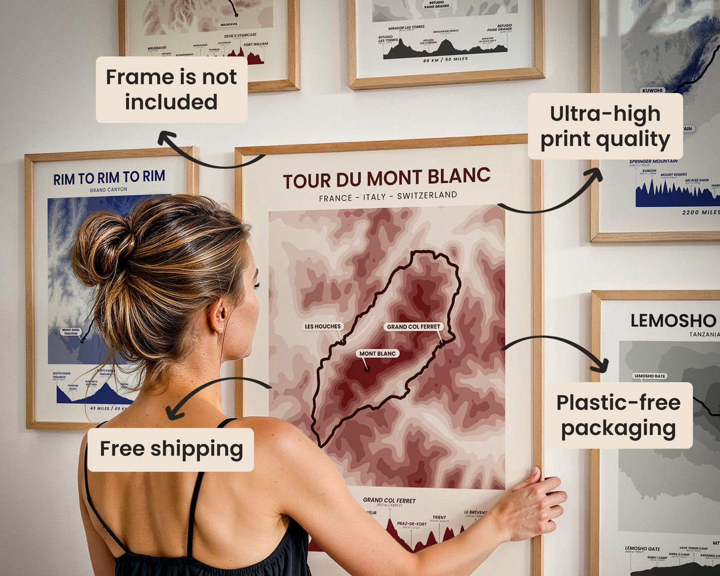
Our posters are manufactured using ultra high definition printers with very rich and vivid colors. They're printed on thick, 189 g/m² matte paper sourced from Japan.

Plastic-Free Packaging
Our prints are shipped in cardboard triangles instead of typical tubes. This is better for the enviroment, because no plastic is used in the packaging.

The Right Size & Color for You
Our sizes are offered in imperical and metrical measurements, so it's easier for you to find the right frame locally.

Free Shipping With 2+ Posters
Save money by adding another poster to your cart (maybe as a gift for one of your friends or close relative), and get free shipping, even on international orders.

No Import Fees*
We have fulfillment locations in the United States, Canada, the United Kingdom, Spain, and Latvia. They're always manufactured from the closest one to your shipping address, so you can avoid paying import tax, get quicker deliveries, and reduce your carbon footprint.

30-day Satisfaction Guarantee
If, for whatever reason, you change your mind, we accept returns within 30 days of the delivery date.