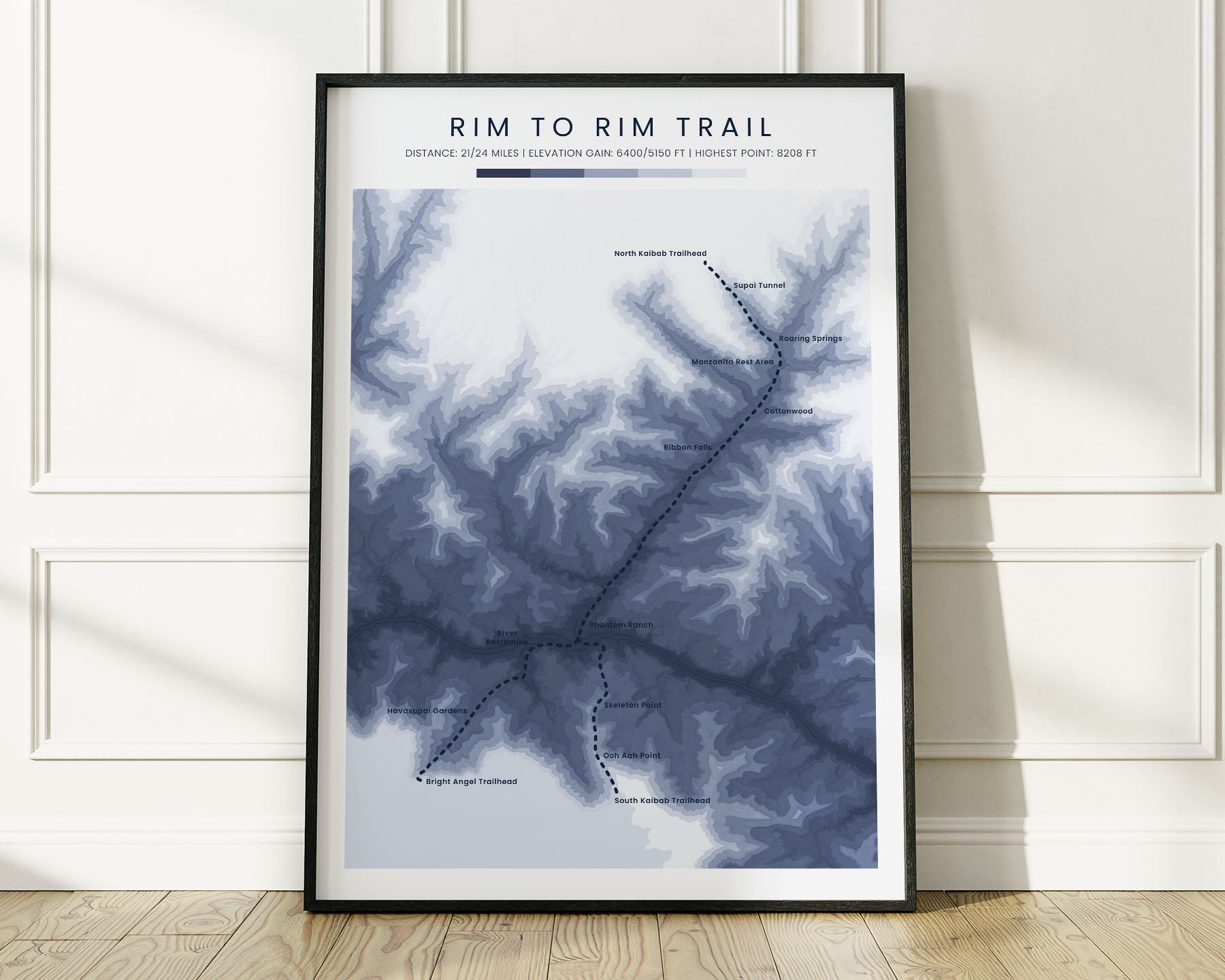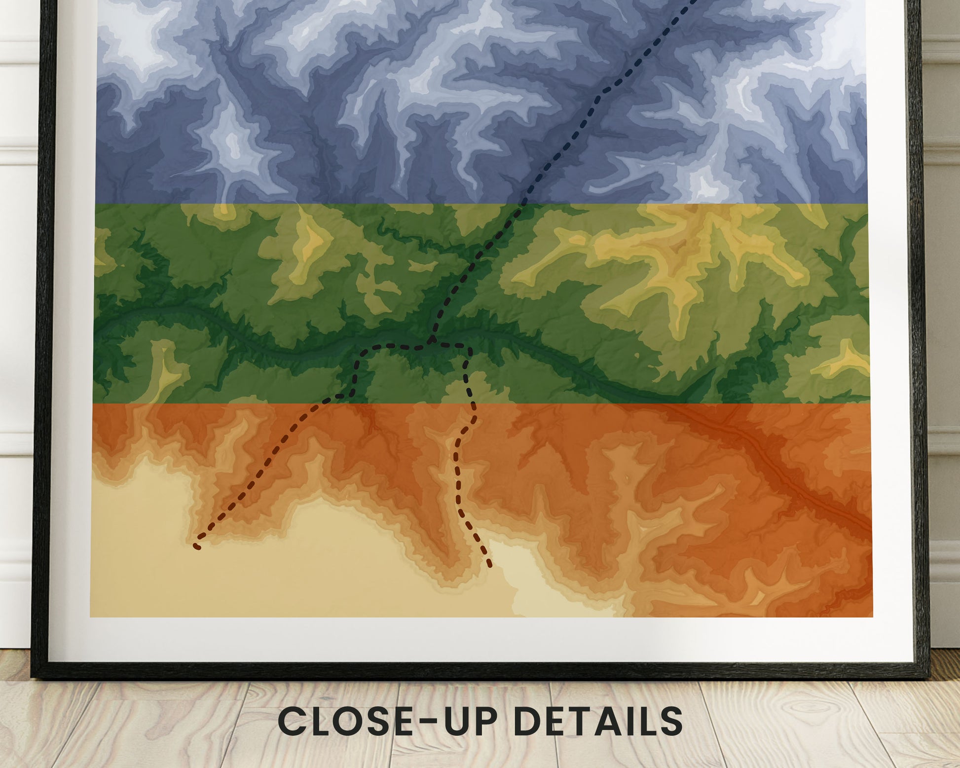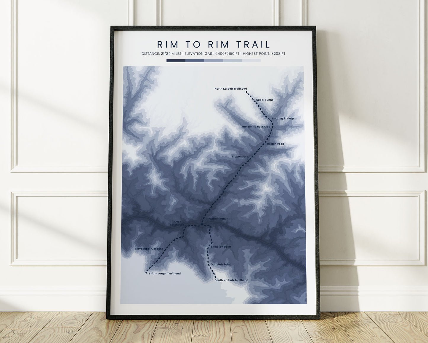
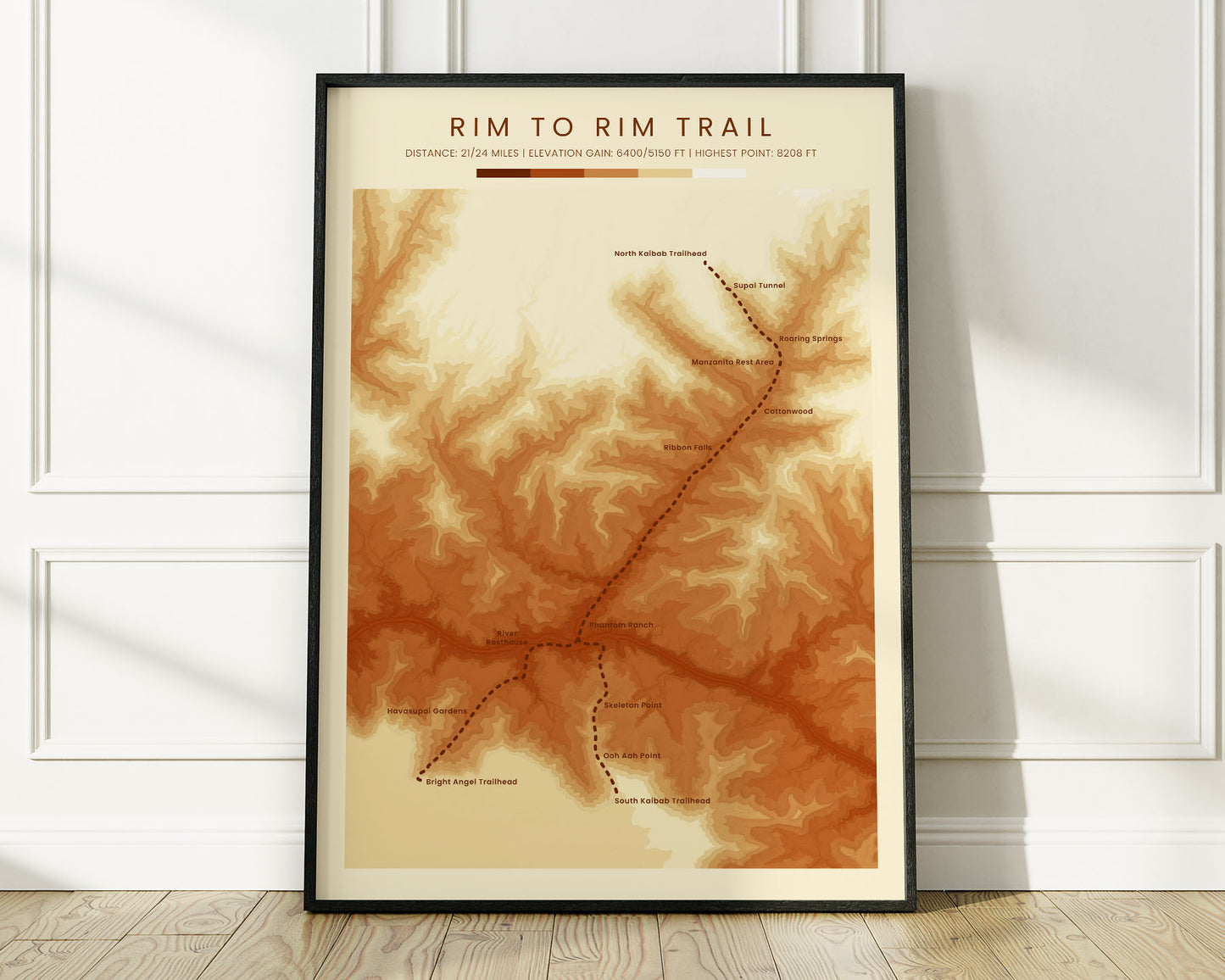
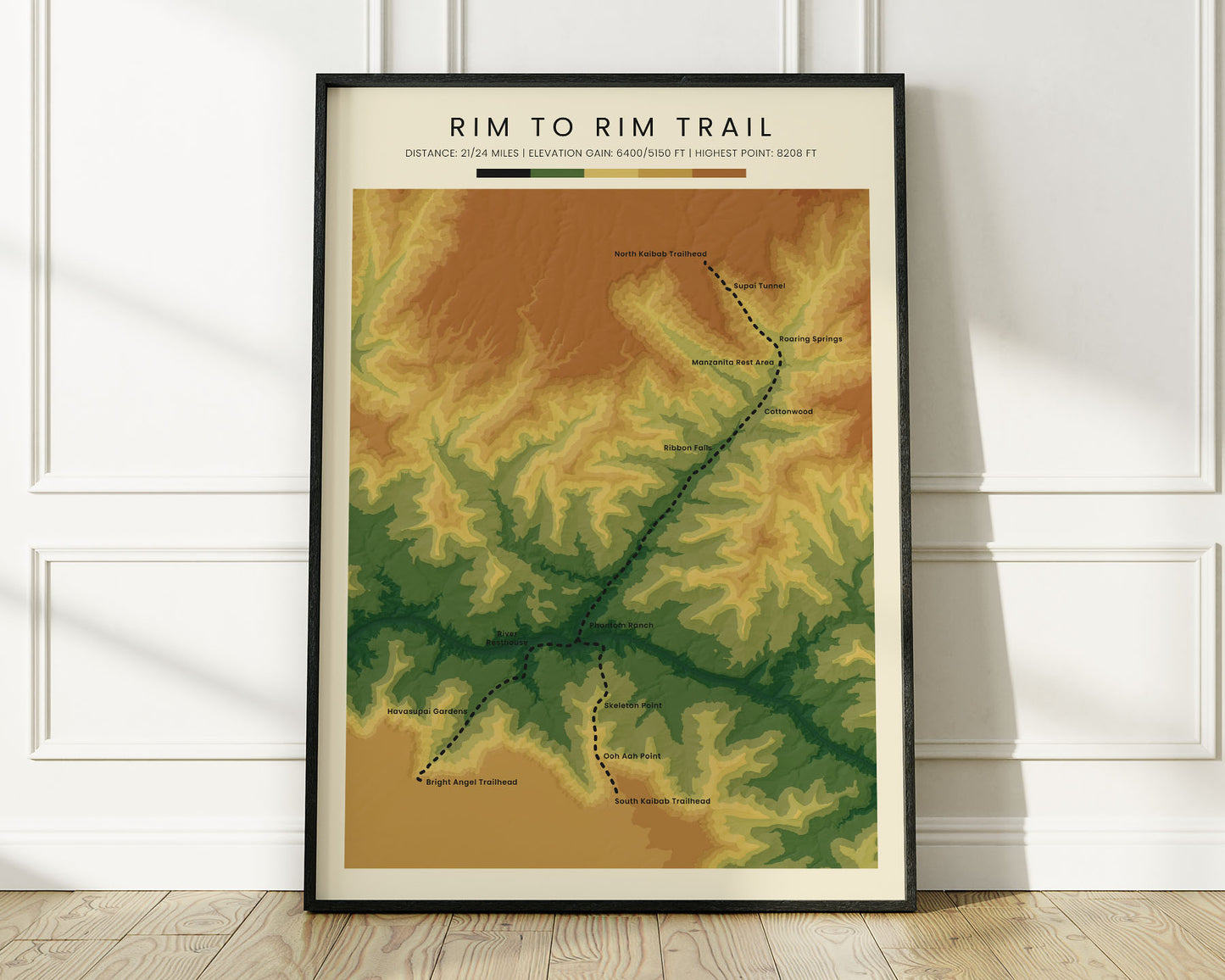



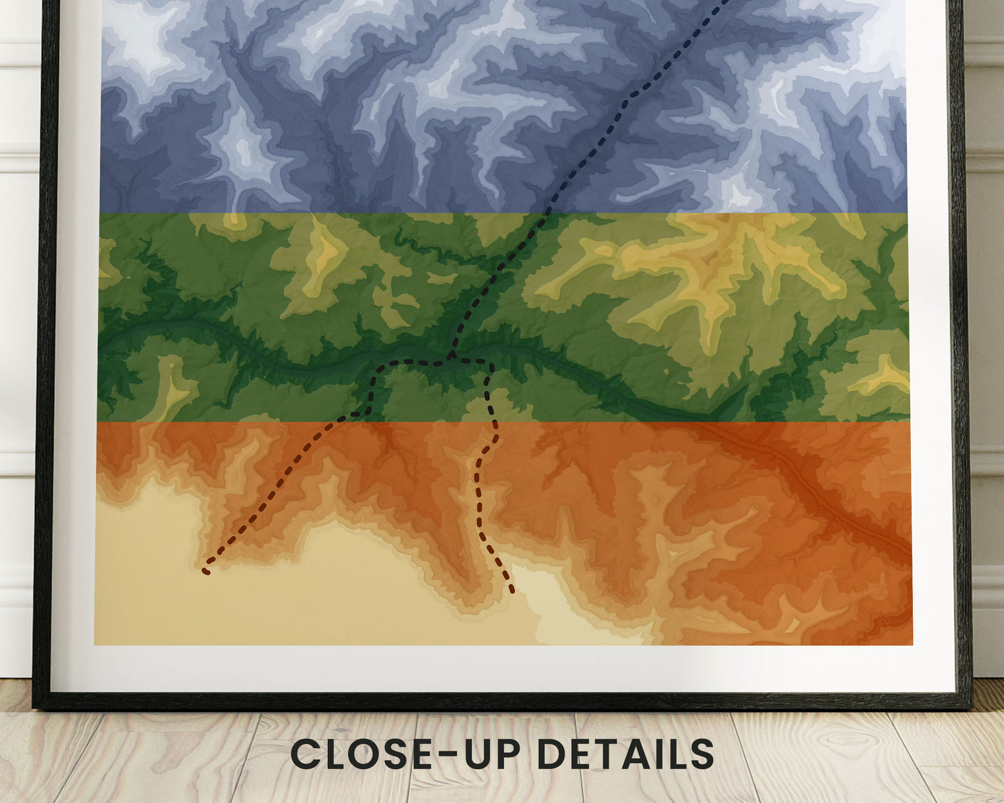

A print that shows a topographic elevation map of the Rim to Rim trail. We've made it using satellite data from NASA and then transformed it into beautiful artwork. We offer it in three color options - Minimal Blue, Vintage Orange, and Realistic Green to look good in any interior style. This geological contour map will be a unique gift for anyone who has completed the Rim to Rim hike.
About the Rim to Rim Trail
The Rim to Rim trail, also called the Grand Canyon Hike, Rim to Rim to Rim, or in short R2R, is the most popular hike in Grand Canyon, Arizona, United States. It stretches between the North Kaibab Trailhead in the north and the South Kaibab or Bright Angel Trailheads on the South Rim. It's considered to be one of the most difficult day-hikes in the US, which is why a lot of people choose to split it into two or three days and camp in designated campgrounds. Hiking it involves steep climbing with a lot of elevation gain, but is very rewarding because of the stunning views of the Grand Canyon National Park.
Statistics About the Rim to Rim Grand Canyon Hike
- Start point: North Kaibab Trailhead, Arizona
- End point: South Kaibab Trailhead, Arizona (short route) / Bright Angel Trailhead, Arizona (long route)
- Total distance: 21 miles / 34 km (short route) or 24 miles / 39 km (long route)
- Total altitude gain/loss: 5150 ft / 1570 m (short route) or 6400 ft / 1951 m (long route)
- Highest point: 8208 ft / 2502 m (North Kaibab Trailhead)
- Countries crossed: United States
- States Crossed: Arizona
- Time to finish: Usually 10-14 hours

