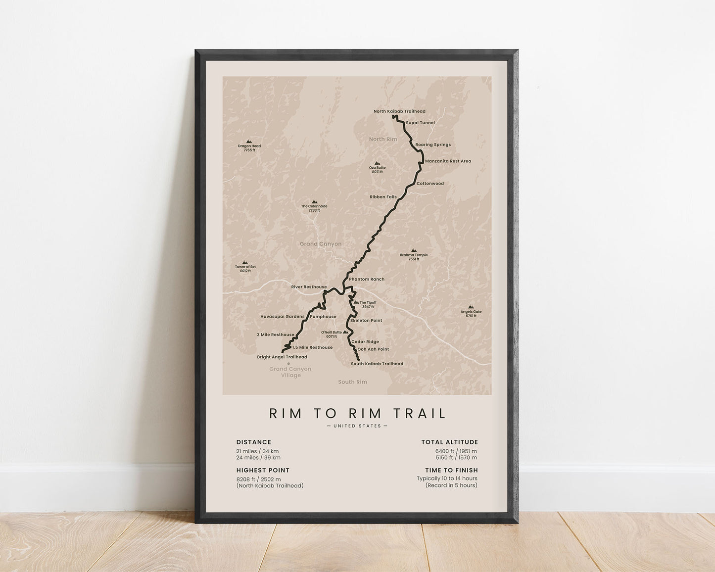
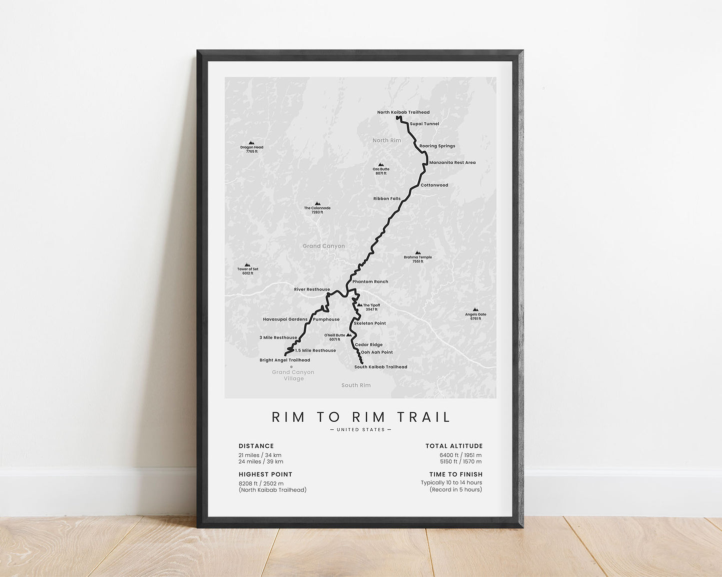
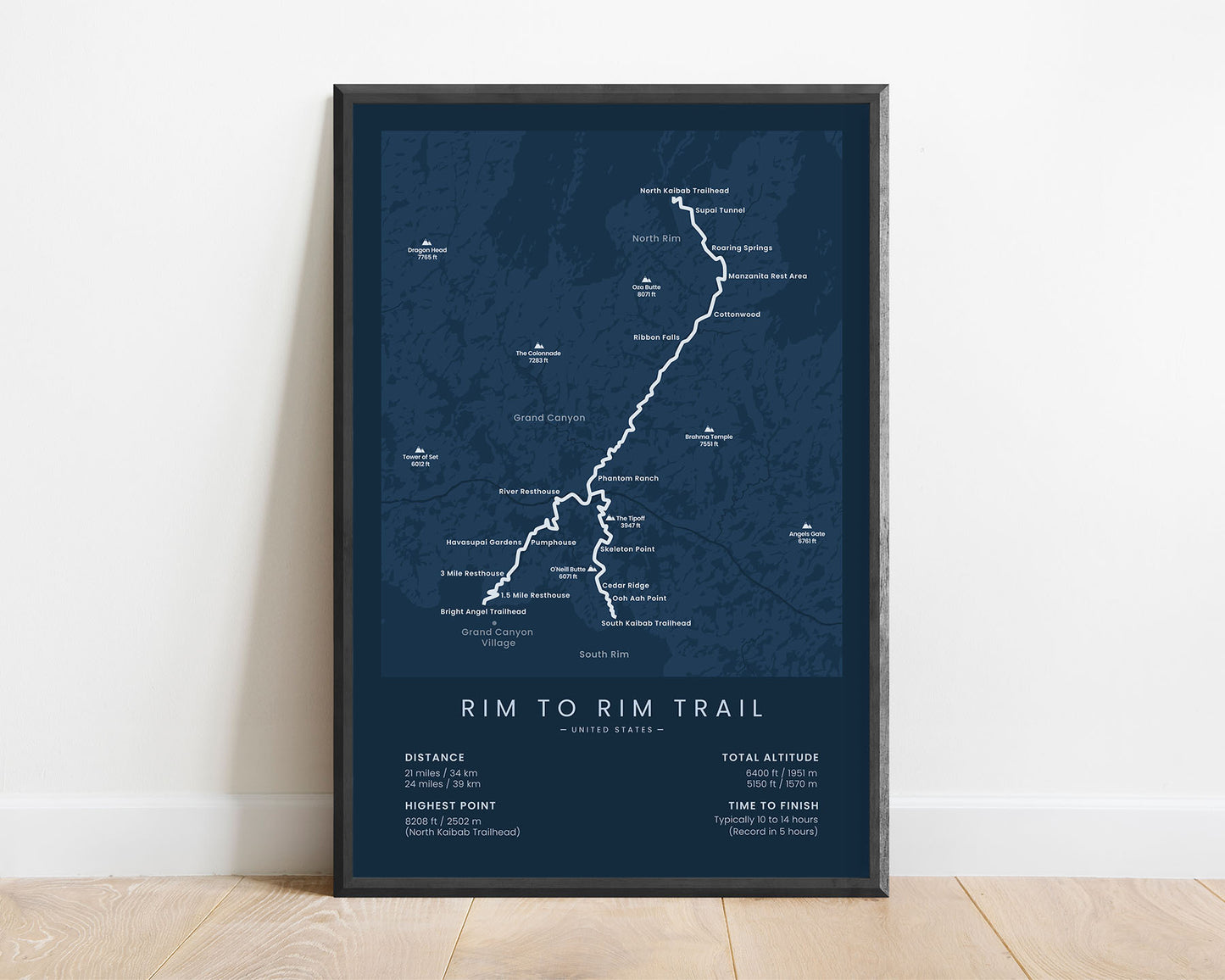
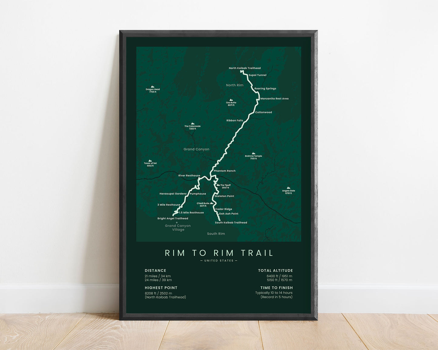
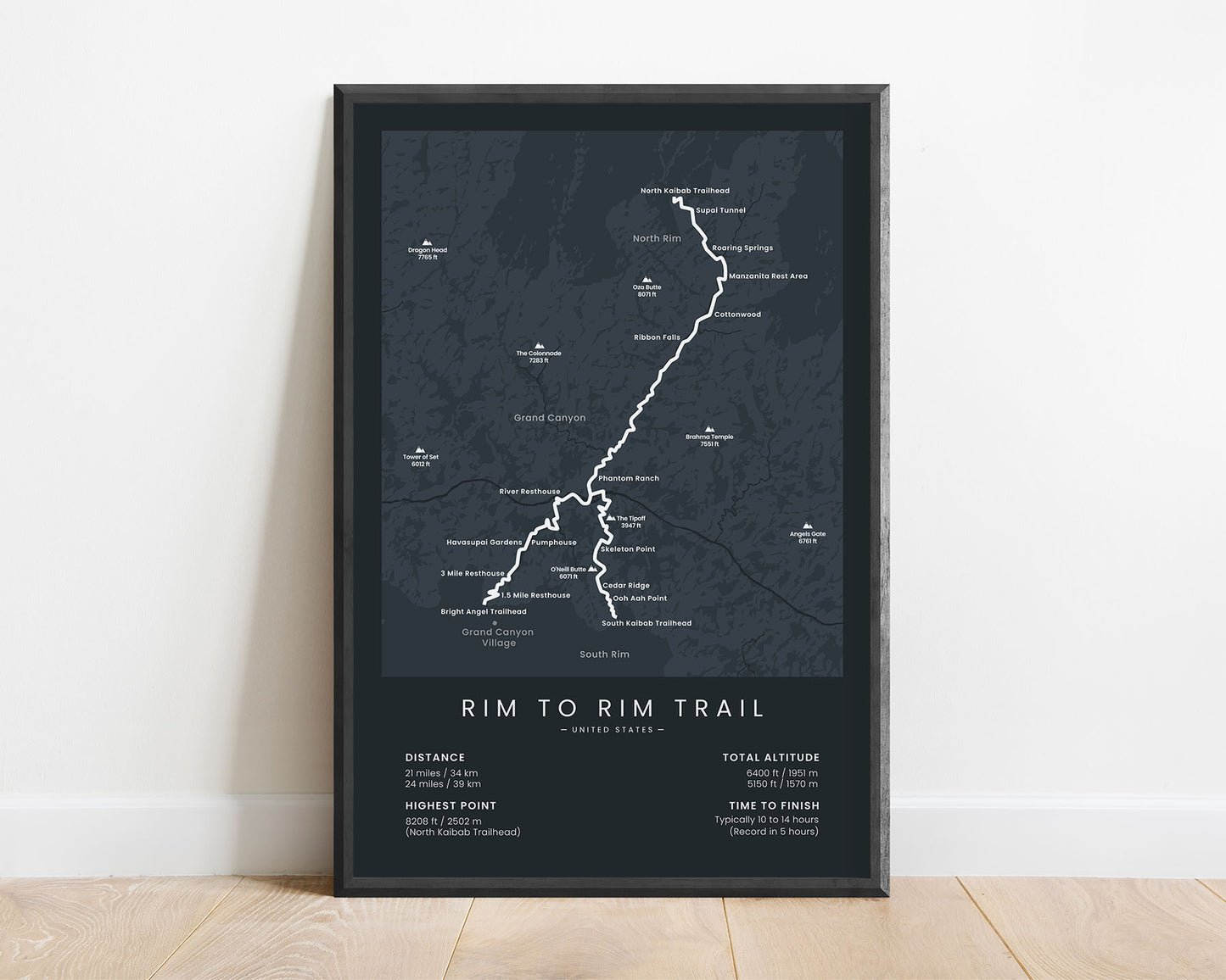



A minimalist poster that displays the map of the Rim to Rim Grand Canyon hiking trail. It shows the full route of the trail (both variations), important points of interest along the way, and statistics about the trail. This poster is made in a minimal style to fit most modern interiors – it will be a great way to showcase that you’ve finished the trail.
About the Rim to Rim Grand Canyon Hike
The Grand Canyon Rim to Rim Trail (R2R) is the most popular hike in the Grand Canyon, and also one of the most popular day hikes in the United States. It starts at the North Kaibab Trailhead, North Rim, and goes down to the south rim - either at the Bright Angel or South Kaibab trailhead. We've included both routes in this poster (Rim to Rim to Rim) because a lot of people tend to hike it that way. Most people who visit the Grand Canyon just look at it from above, but you can only truly experience it by going down in the canyon and immersing yourself in the Rim to Rim trail.
Statistics About the Rim to Rim Trail
- Start point: North Kaibab Trailhead, Arizona
- End point: South Kaibab Trailhead, Arizona (short route) / Bright Angel Trailhead, Arizona (long route)
- Total distance: 21 miles / 34 km (short route) or 24 miles / 39 km (long route)
- Total altitude gain/loss: 5150 ft / 1570 m (short route) or 6400 ft / 1951 m (long route)
- Highest point: 8208 ft / 2502 m (North Kaibab Trailhead)
- Countries crossed: United States
- States Crossed: Arizona
- Time to finish: Usually 10-14 hours
- Best time to hike: May - October


