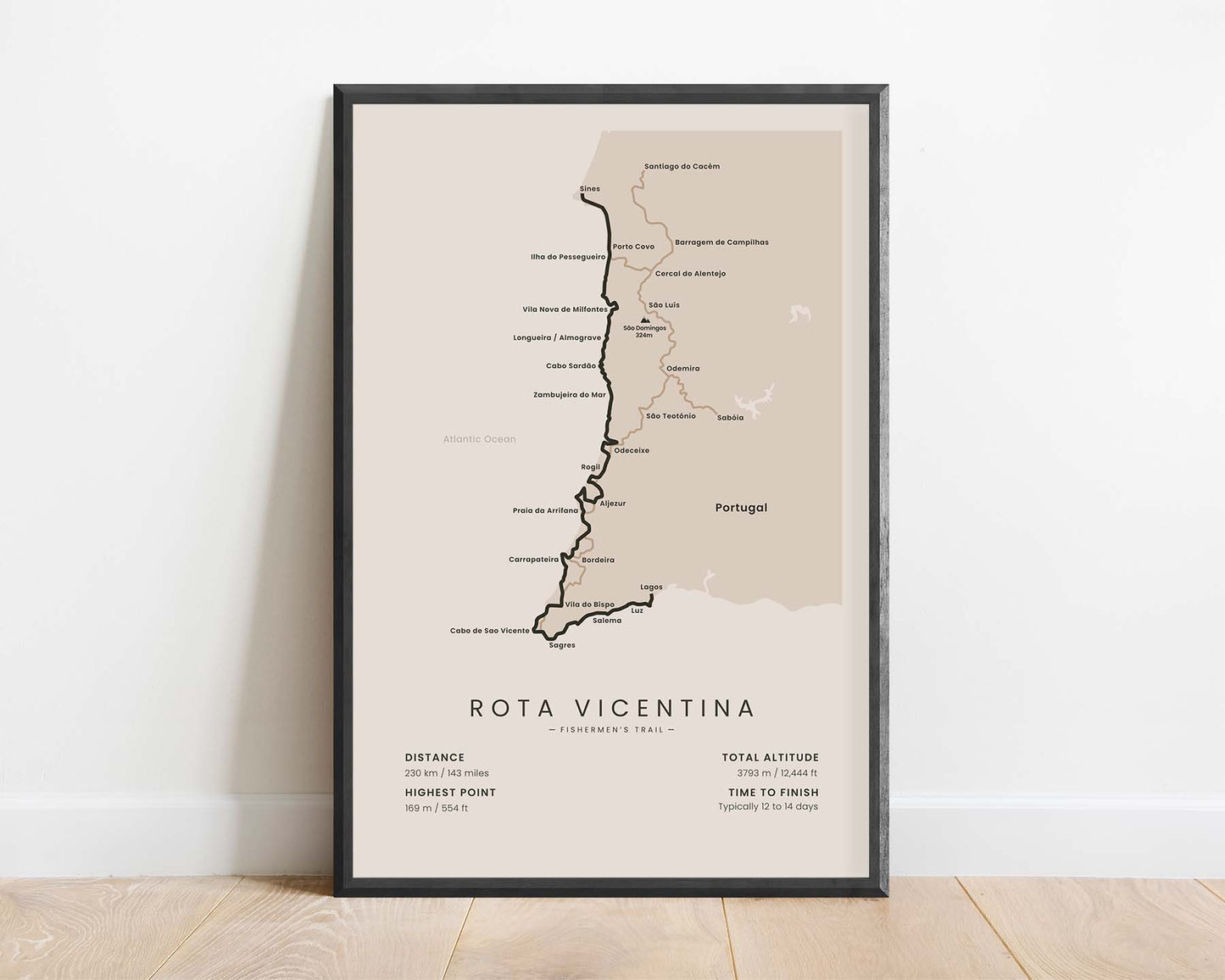
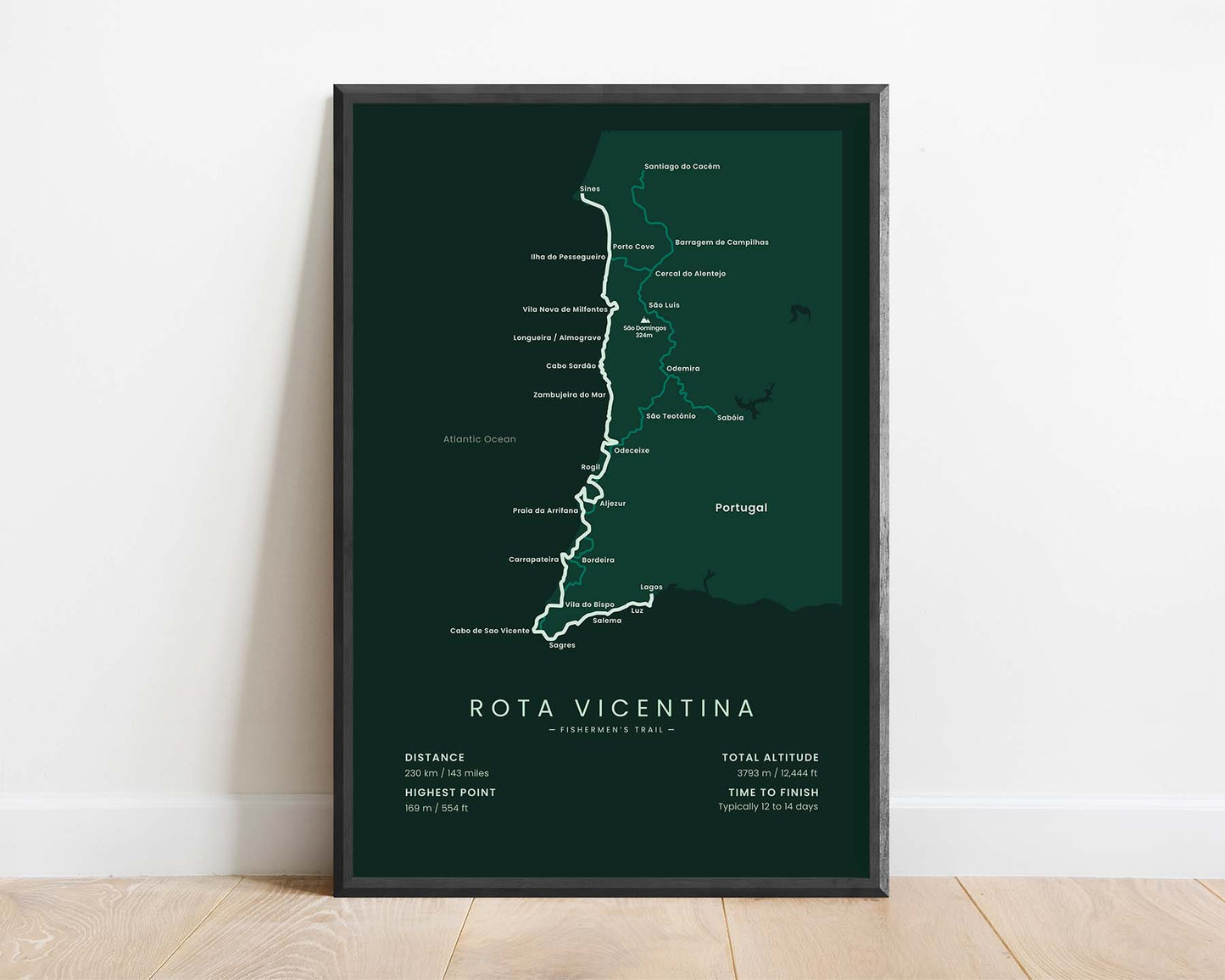
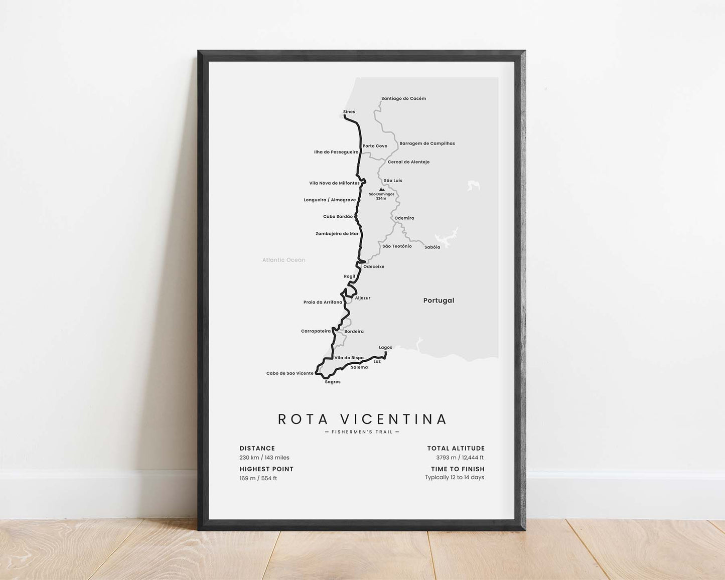
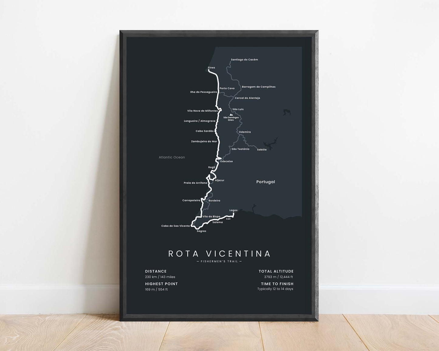
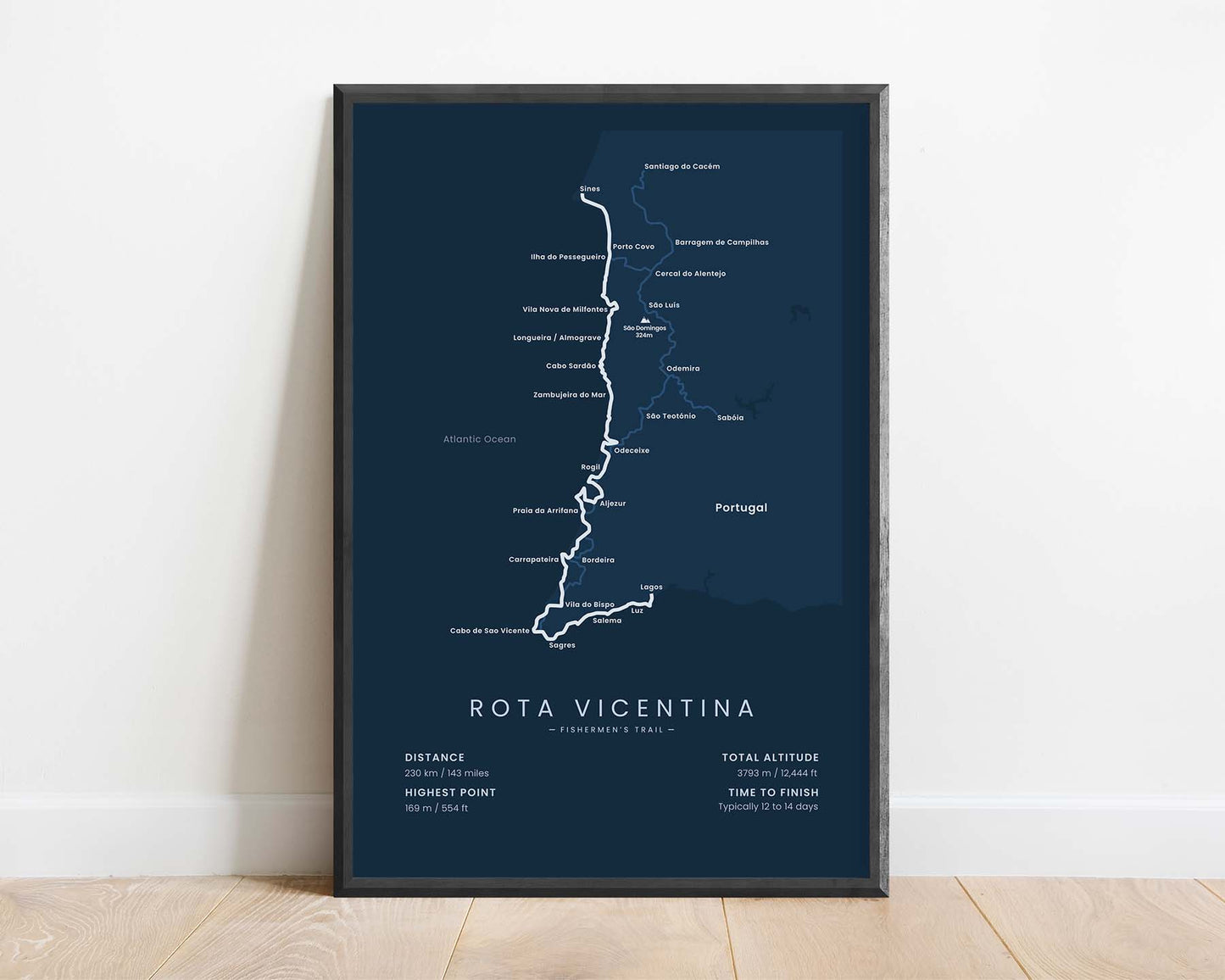


A print that shows the map of the Rota Vicentina (Fishermen’s Trail). It displays the full route of the trail, the main villages and cities along the way, side trails, main peaks, and other points of interest. It also shows important statistics about the trail, like the total distance, elevation gain, and more. If you know someone who wants to finish this trail, then this poster will be a unique gift to keep them focused on their goal.
About the Rota Vicentina (Fishermen's Trail)
The Fishermen's Trail (other known as the Coastal Route) is a long-distance hiking trail from the Rota Vicentina network of hiking trails in South Portugal. It starts at Lagos, Faro region, and stretches over 200 km along the Atlantic Ocean coastline until finally finishes at Sines, Setubal region. Even though it may seem like a fairly easy hiking trail, given that it's very well-waymarked and goes along the coastline, it actually isn't. During these 230 km, you'll have to walk along steep coastal cliffs and deal with high temperatures, especially during the summer. That said, it's a very rewarding hike because you'll encounter plenty of swimming opportunities, beautiful views over the sea, and walk through many traditional Portuguese coastal villages. Another popular trail in the Rota Vicentina network is the Historical Way, which shares some parts with the Fishermen's trail.
Statistics About the Rota Vicentina (Fishermen's Trail)
- Start point: Praia de Sao Torpes (Sines), Portugal
- End Point: Lagos, Portugal
- Total distance: 143 miles / 230 km
- Total altitude gain/loss: 12 444 ft / 3793 m
- Highest point: 554 ft / 169 m
- Regions crossed: Faro, Beja, and Setubal
- Time to finish: Usually 12-14 days
- Best time to hike: March - November


