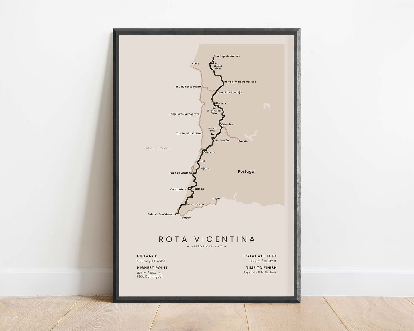
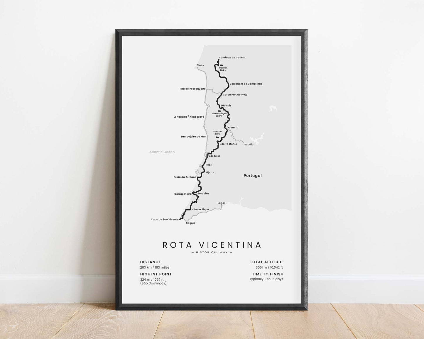
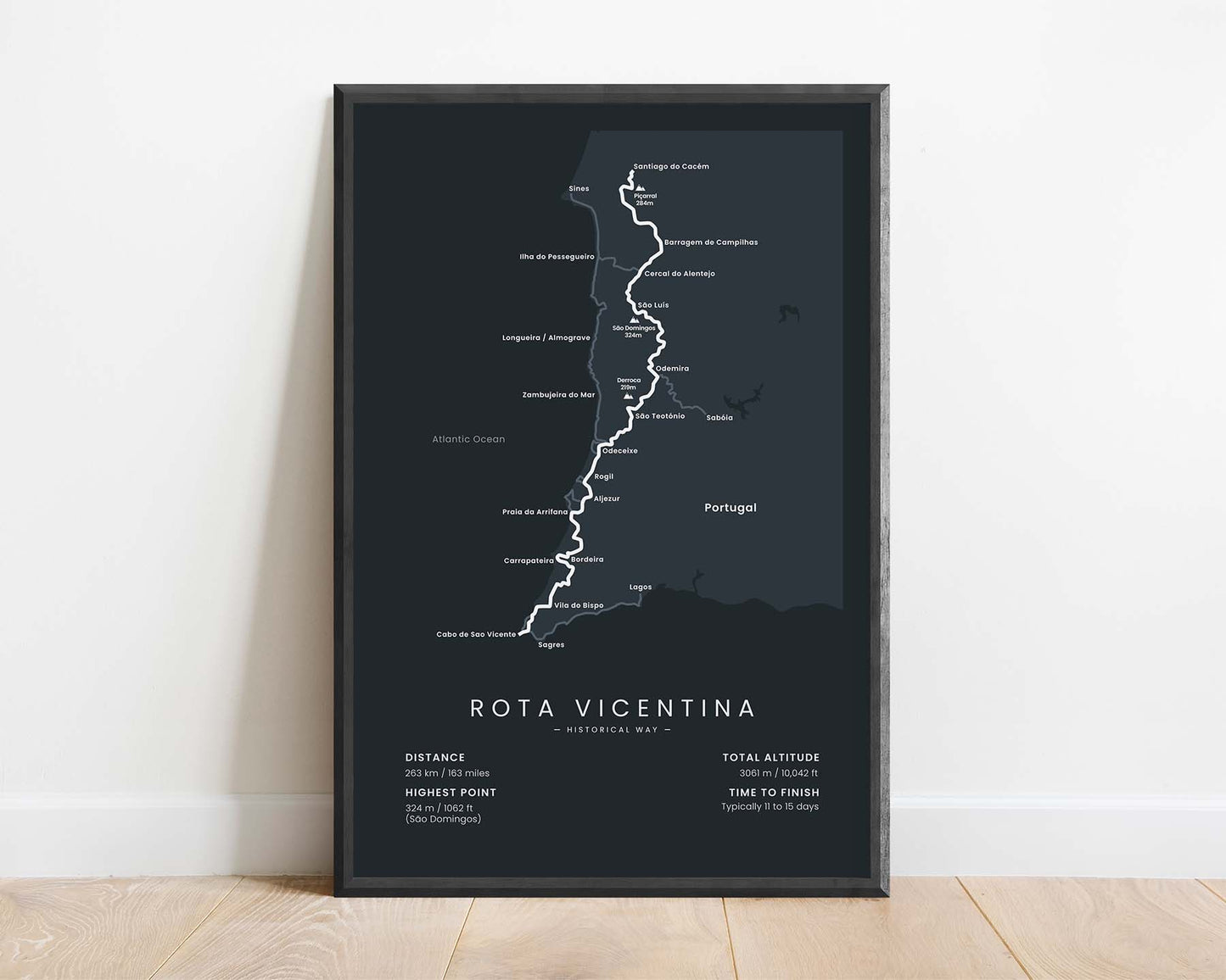
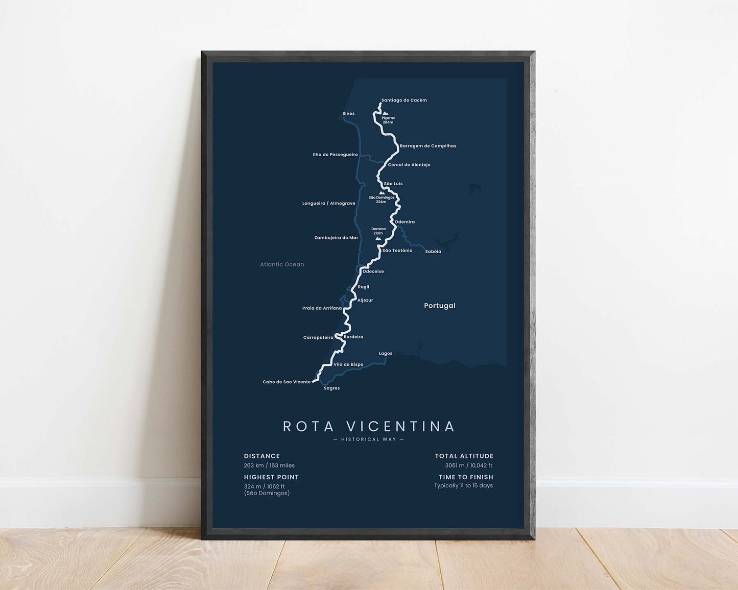
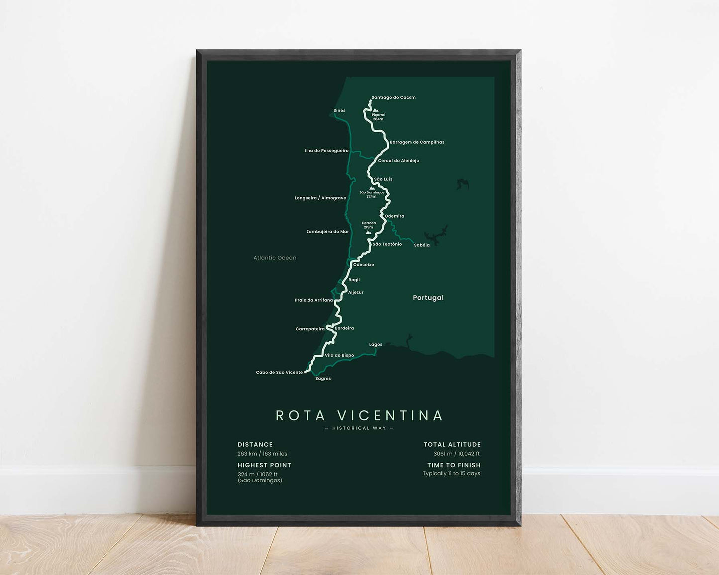


A minimalist map of the Rota Vicentina Historical Way hiking trail, which shows the full route of the trail, important towns and villages along the way, and important statistics about the trail. This poster is designed in minimal colors, rather than a more typical map style, to better fit into most interiors. If you’ve finished the Historical way, this print will be a unique addition to your home.
About the Rota Vicentina Historical Way
The Historical Way is a long-distance hike in the Rota Vicentina hiking trail network in Southern Portugal. It starts at Santiago do Cacem, then goes 263 km through rural Portugal, and finally finishes in Cabo de Sani Vicente. It goes through the lush and green part of Southern Coastal Portugal, with many pastures, fields of wildflowers, and green forests. While walking the trail, you'll also pretty much always see views of the rugged coastline in the distance, which is why the Historical Way is considered a really beautiful hiking trail. Another popular Rota Vicentina trail is the Fishermen's Trail, which goes along the coastline in the same region and is displayed as a side trail on this map.
Statistics About the Rota Vicentina Historical Way
- Start point: Santiago do Cacém, Portugal
- End Point: Cabo de Sao Vicente, Portugal
- Total distance: 263 km / 163 miles
- Total altitude gain/loss: 3061 m / 10 042 ft
- Highest point: 234 m / 1062 ft (Sao Domingos)
- Time to finish: Usually 11-15 days
- Best time to hike: March - November


