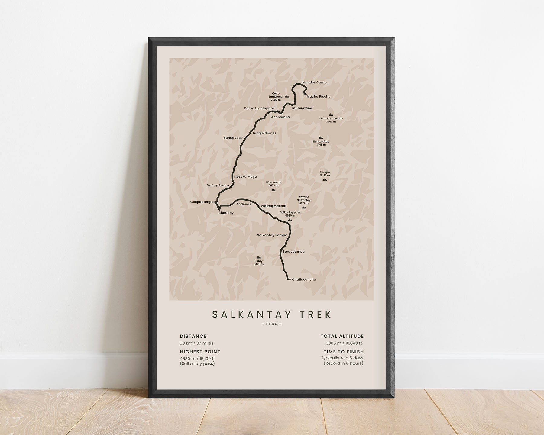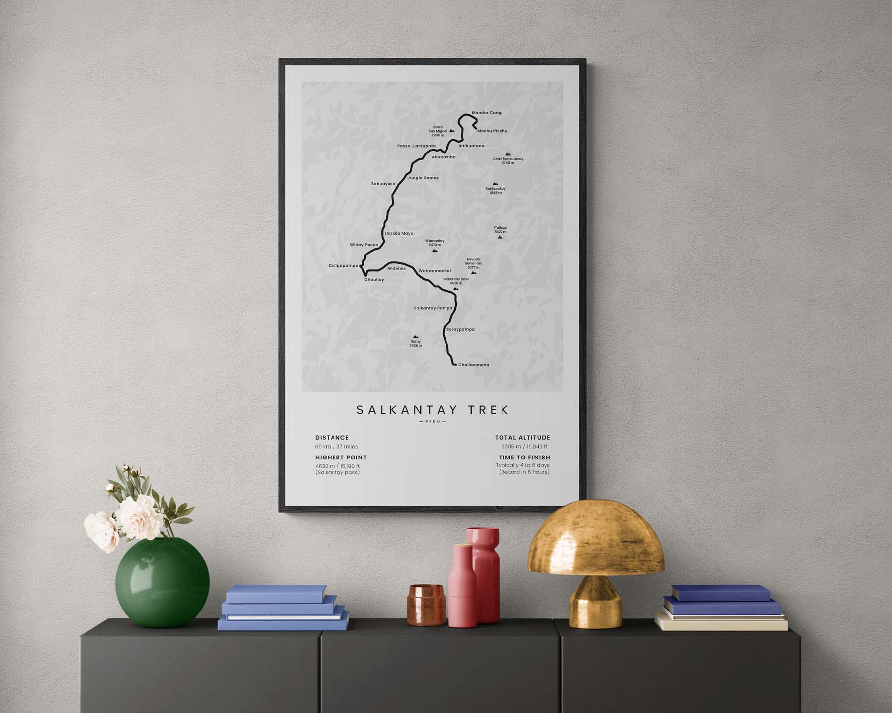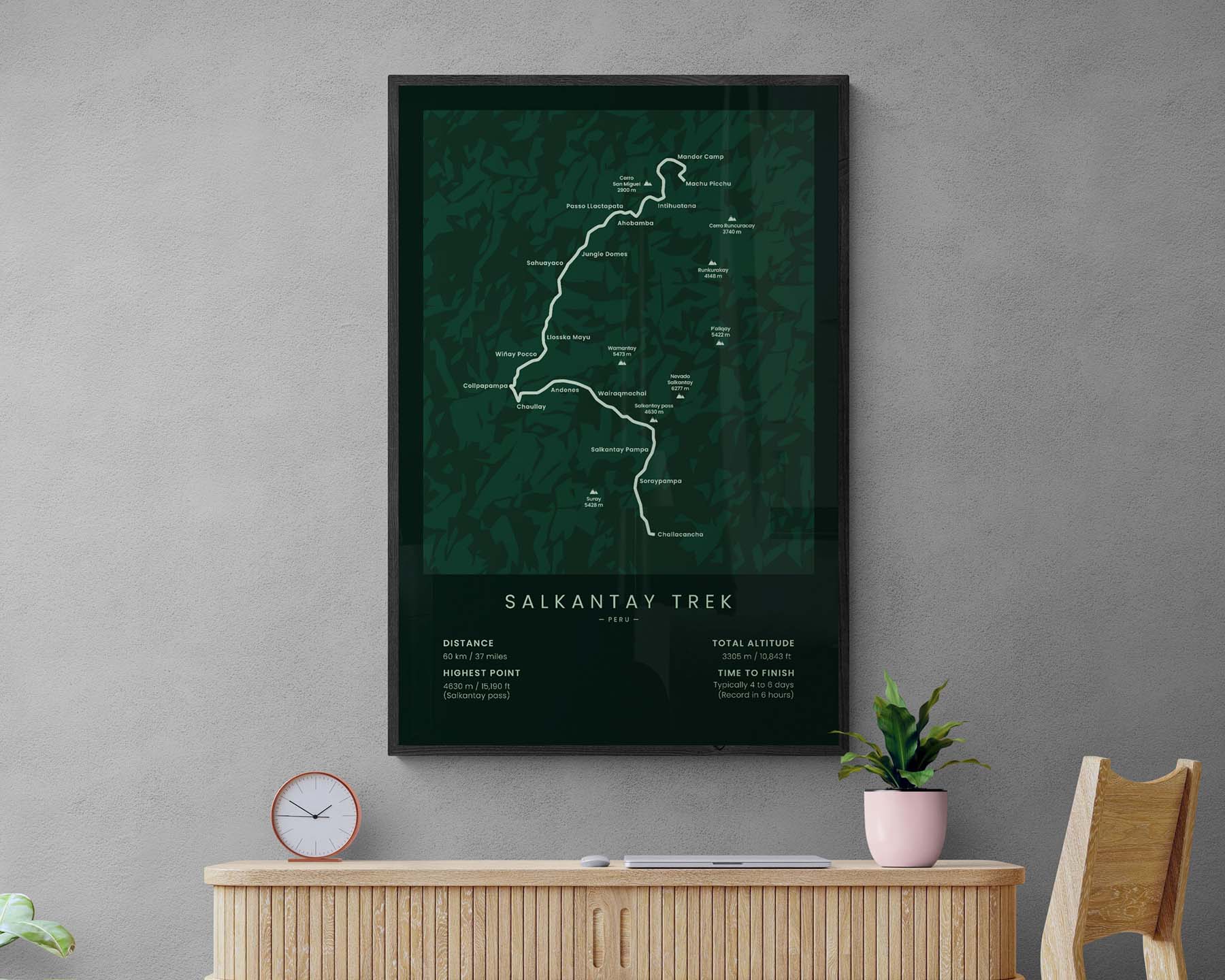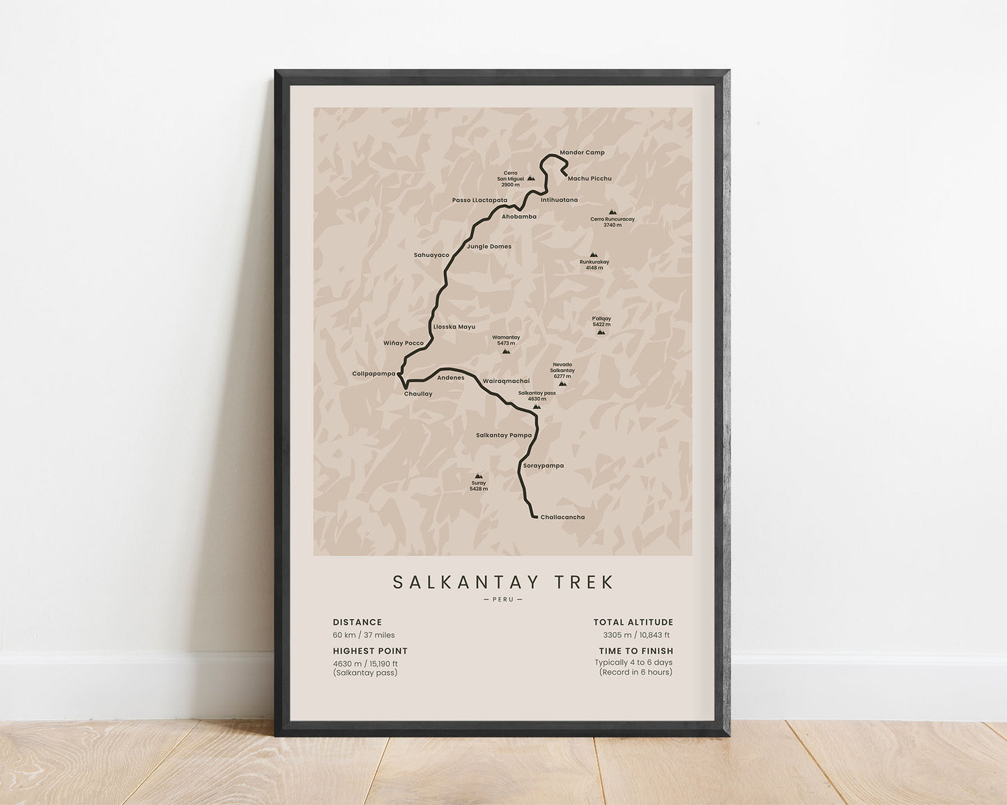
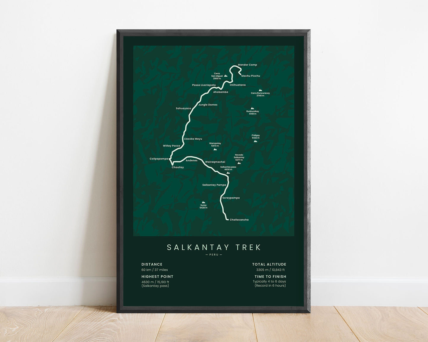
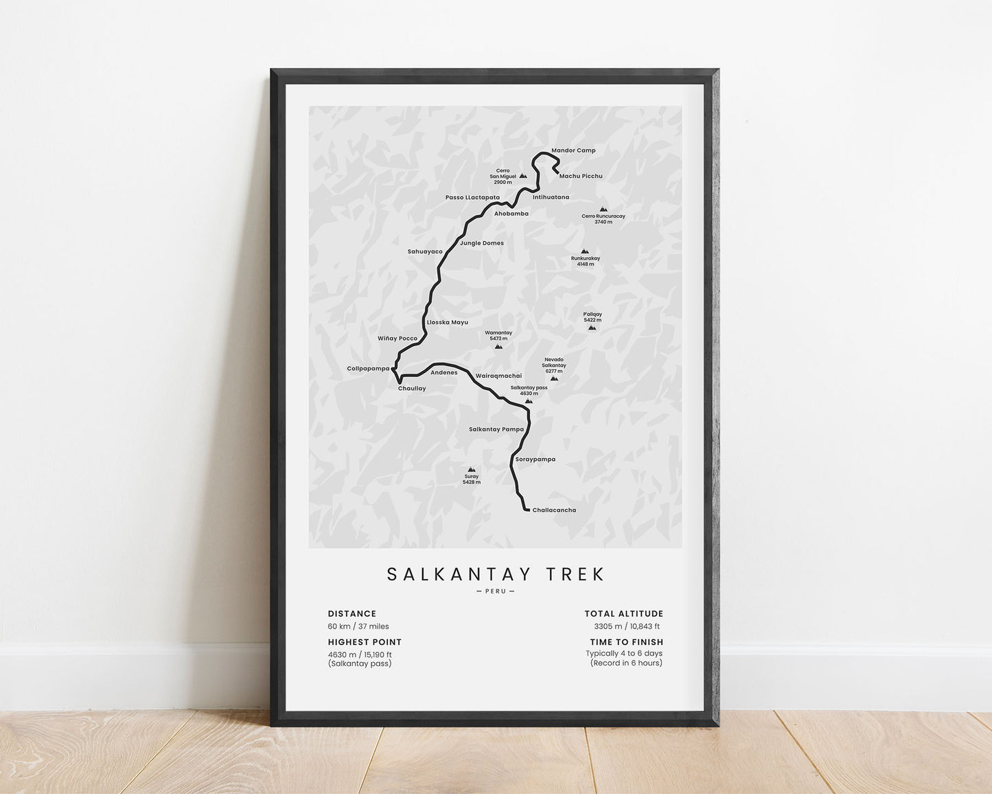
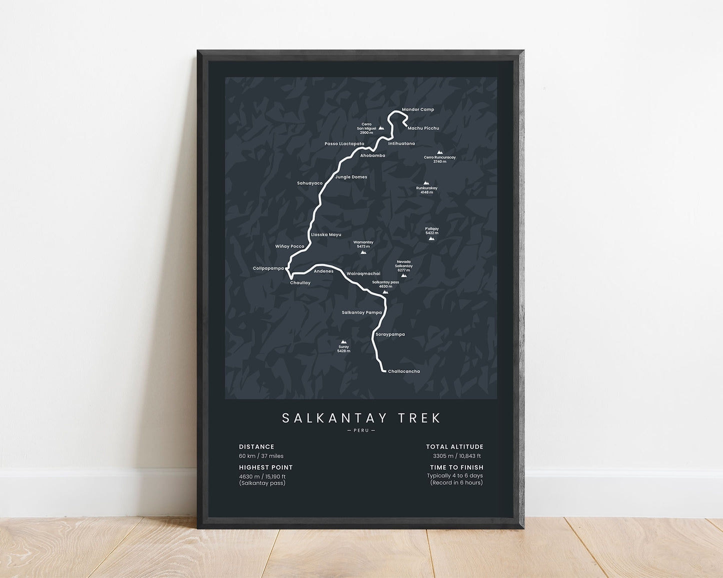
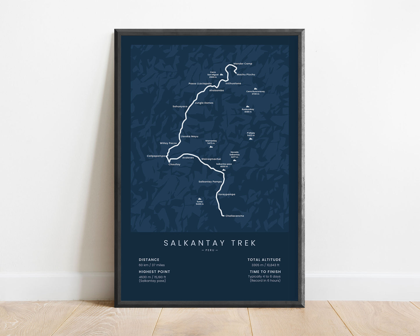
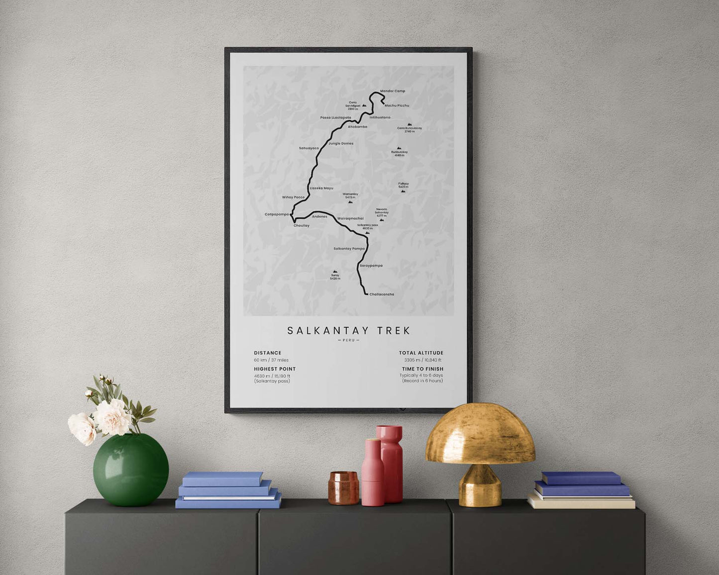
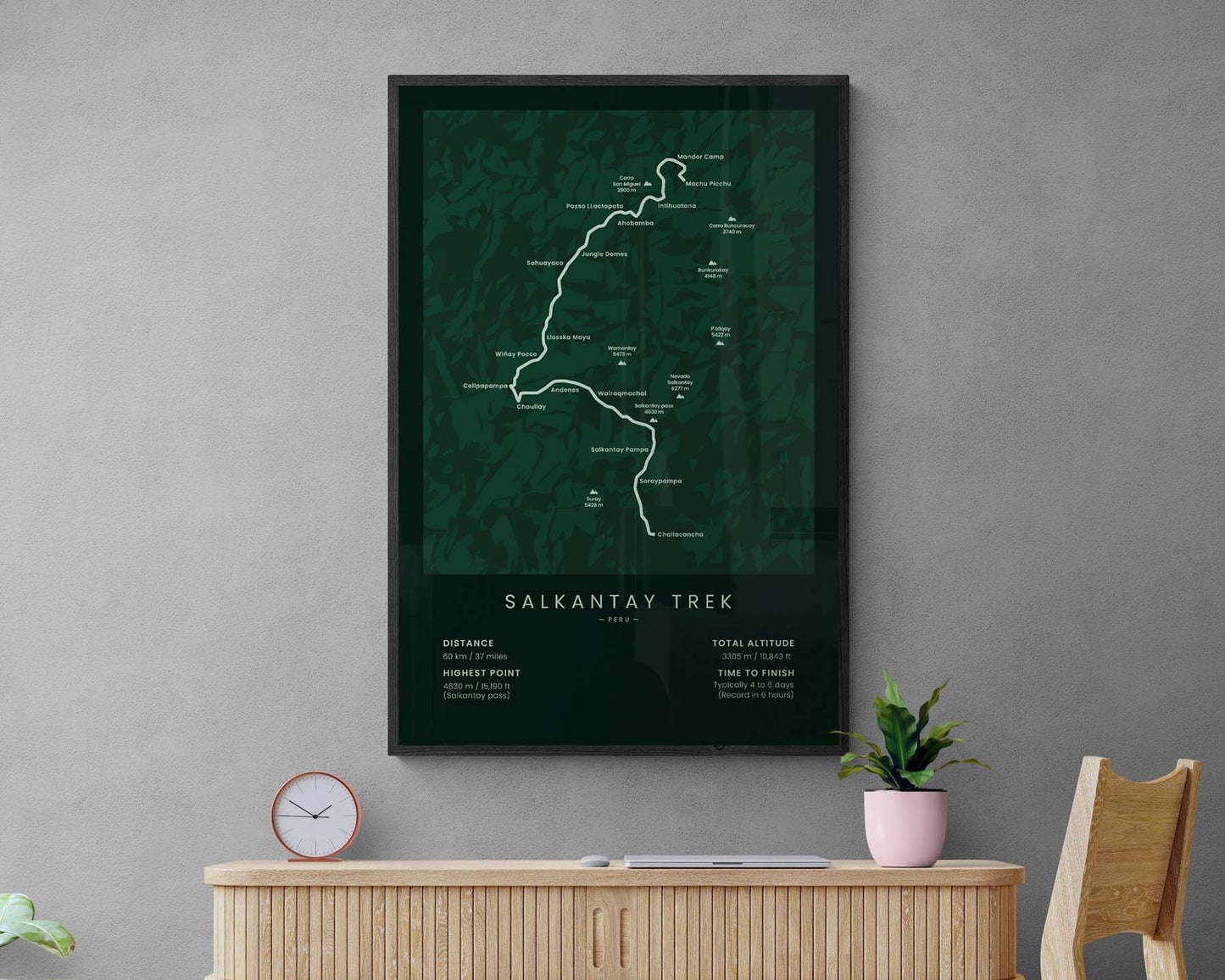

A map with the route of the Salkantay Trek to Machu Picchu. This poster is offered in five minimal colors (white, beige, black, blue, and green) and various sizes, so you can find one that fits perfectly into your interior. We’ve included important villages and peaks, as well as important statistics about the trail itself at the bottom. The Salkantay Trek print will be a perfect gift for someone who has finished or wants to finish the trail.
About the Salkantay Trek to Machu Picchu
The Salkantay Trek to Machu Picchu is one of the most popular hiking trails in South America and named one of the 25 best hiking trails in the world. It's marginally less popular than the Inca Trail to Machu Picchu and offers a different way to reach Machu Picchu. The Salkantay Trey Starts at Cusco, from where you will take public transport to Mollepata, Challacancha, or Soraypampa. Then it goes 37 miles through tropical forests, misty, snow-capped mountain peaks, blue lagoons, and traditional Peruvian villages until it finally reaches Machu Picchu.
Statistics About the Salkantay Trek
- Start point: Mollepata, Challacancha, or Soraypampa (small villages in the Cusco region, Peru, South America)
- End point: Machu Picchu (Peru, Andes, South America)
- Total distance: 37 miles / 60 km
- Total altitude gain/loss: 10 843 ft / 3305 m
- Highest point: 15 190 ft / 4630 m (Salkantay Pass)
- Countries crossed: Peru
- Time to finish: Usually 4-6 days
- Record finish: 6 hours
- Best time to hike: June-August

