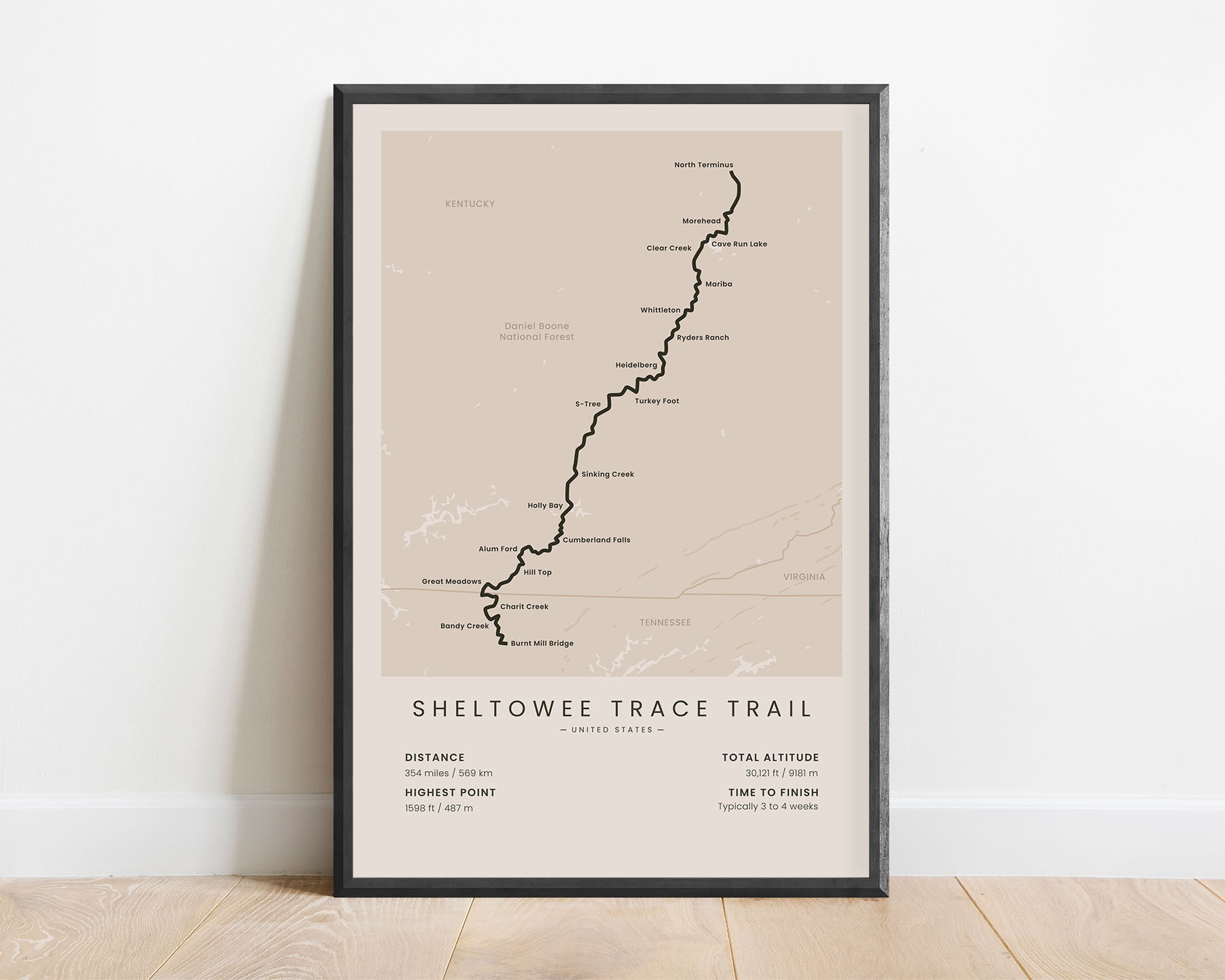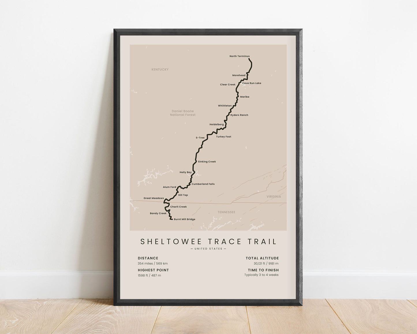
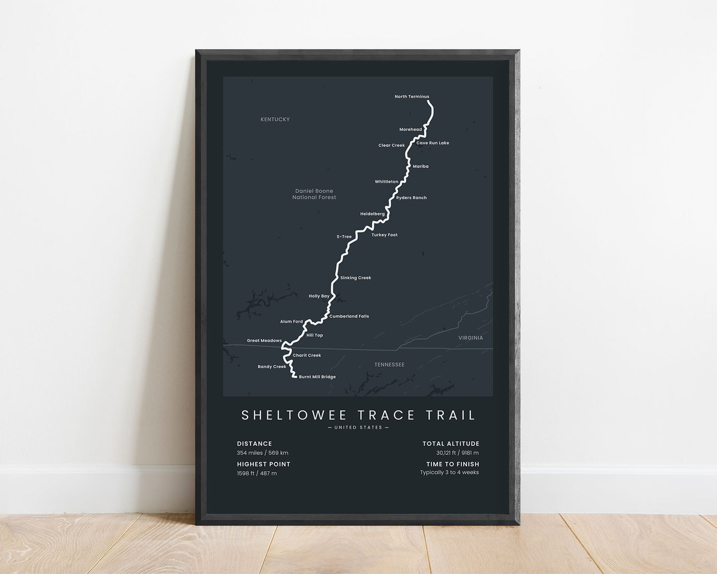
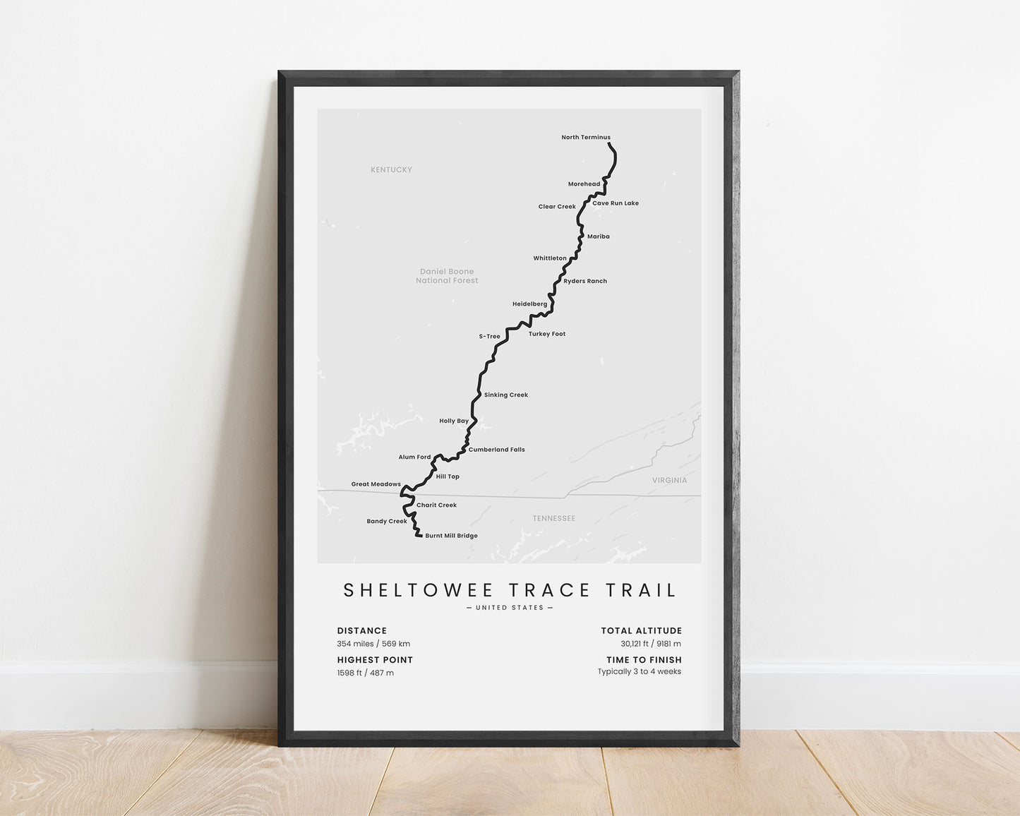
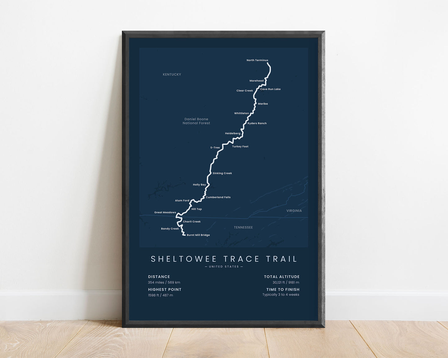


A minimalistic print of the Sheltowee Trace National Recreation Trail in Tennessee & Kentucky, United States.
About the Sheltowee Trace National Recreation Traill
Sheltowee Trace Trail (other called the Sheltowee Trace Road), is a popular thru-hiking and bikepacking trail in the United States. It stretches from the Burnt Mill Bridge, Tennessee in the south to the Northern Terminus in Kentucky. It's officially a part of the National Recreation trail network. Most of the trail goes through forested areas, along many rivers, creeks, and lakes, and along towns and points of interest with historic significance.
Statistics About the Sheltowee Trace Trail
- Start point: Burnt Mill Bridge, Tennessee
- End Point: Northern Terminus, Kentucky
- Total distance: 354 miles / 569 km
- Total altitude gain/loss: 30 121 ft / 9181 m
- Highest point: 1598 ft / 487 m
- Time to finish: Typically 3 to 4 weeks
- States crossed: Tennessee, Kentucky

