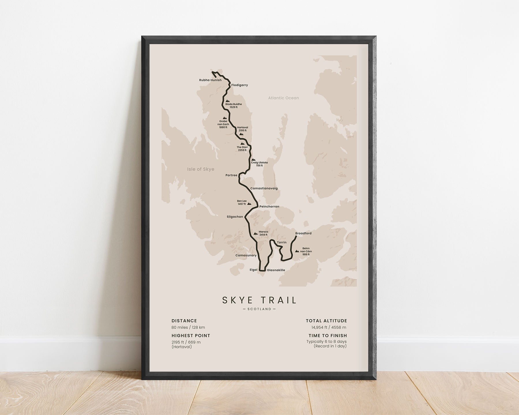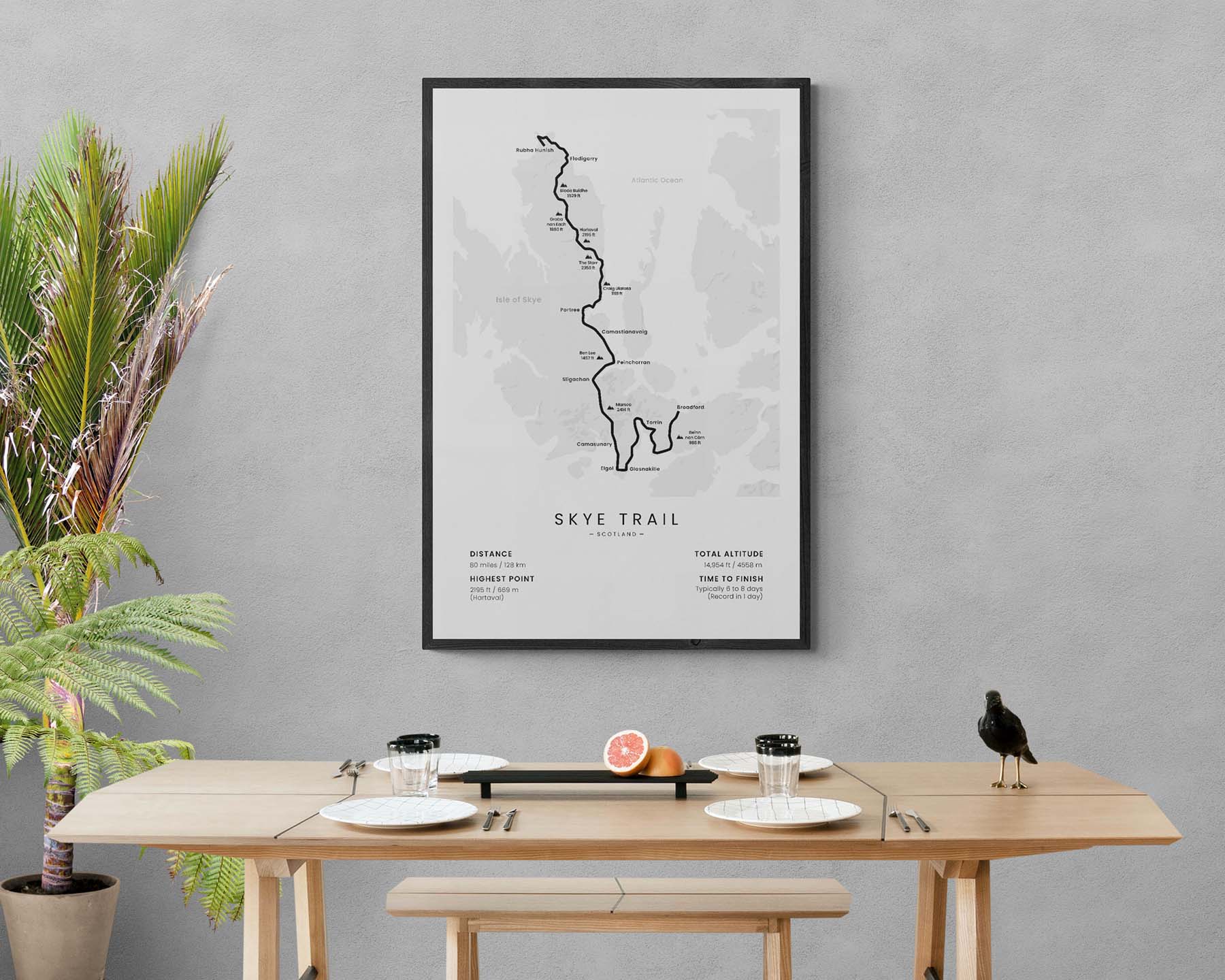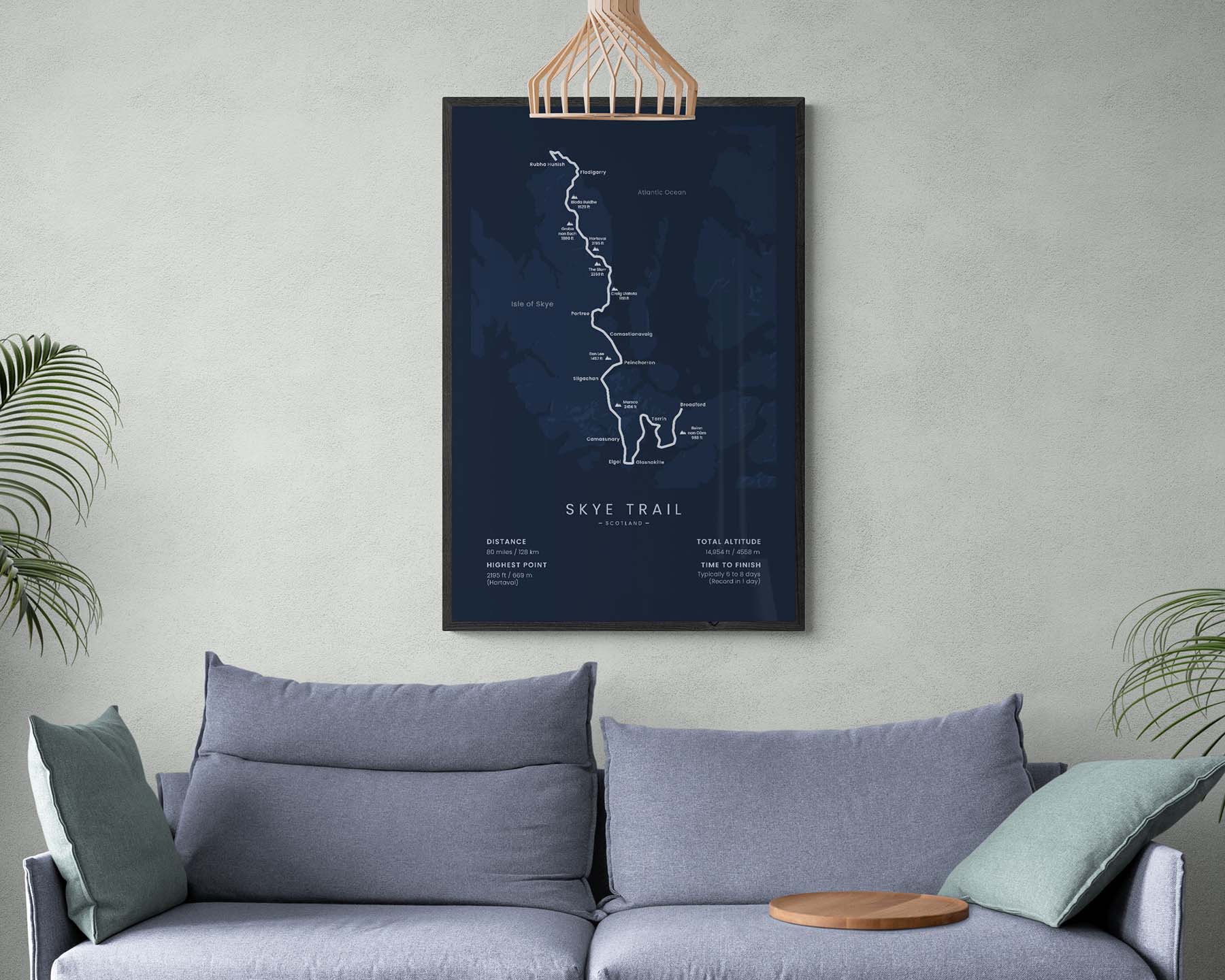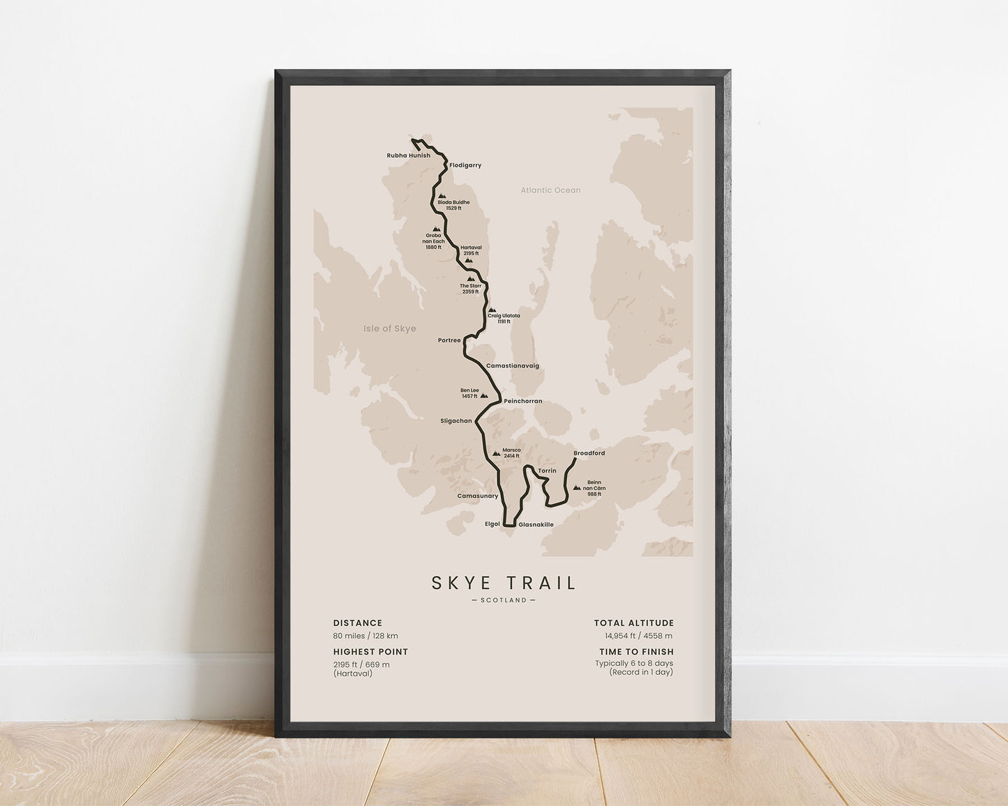
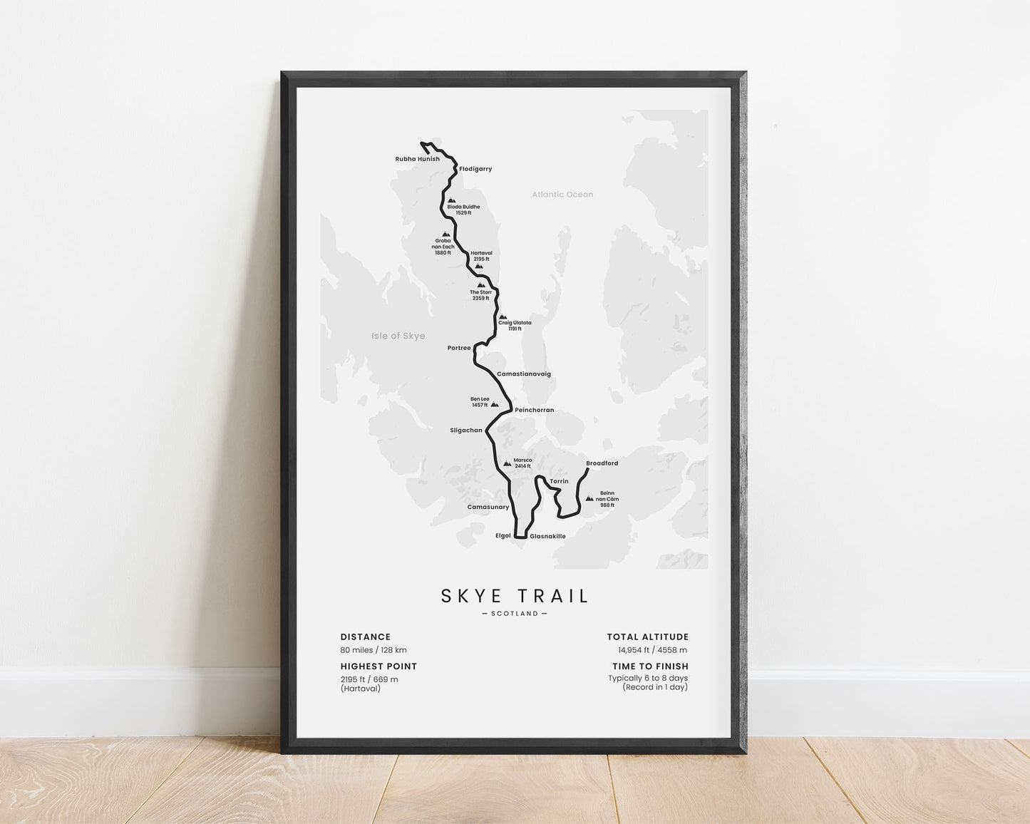
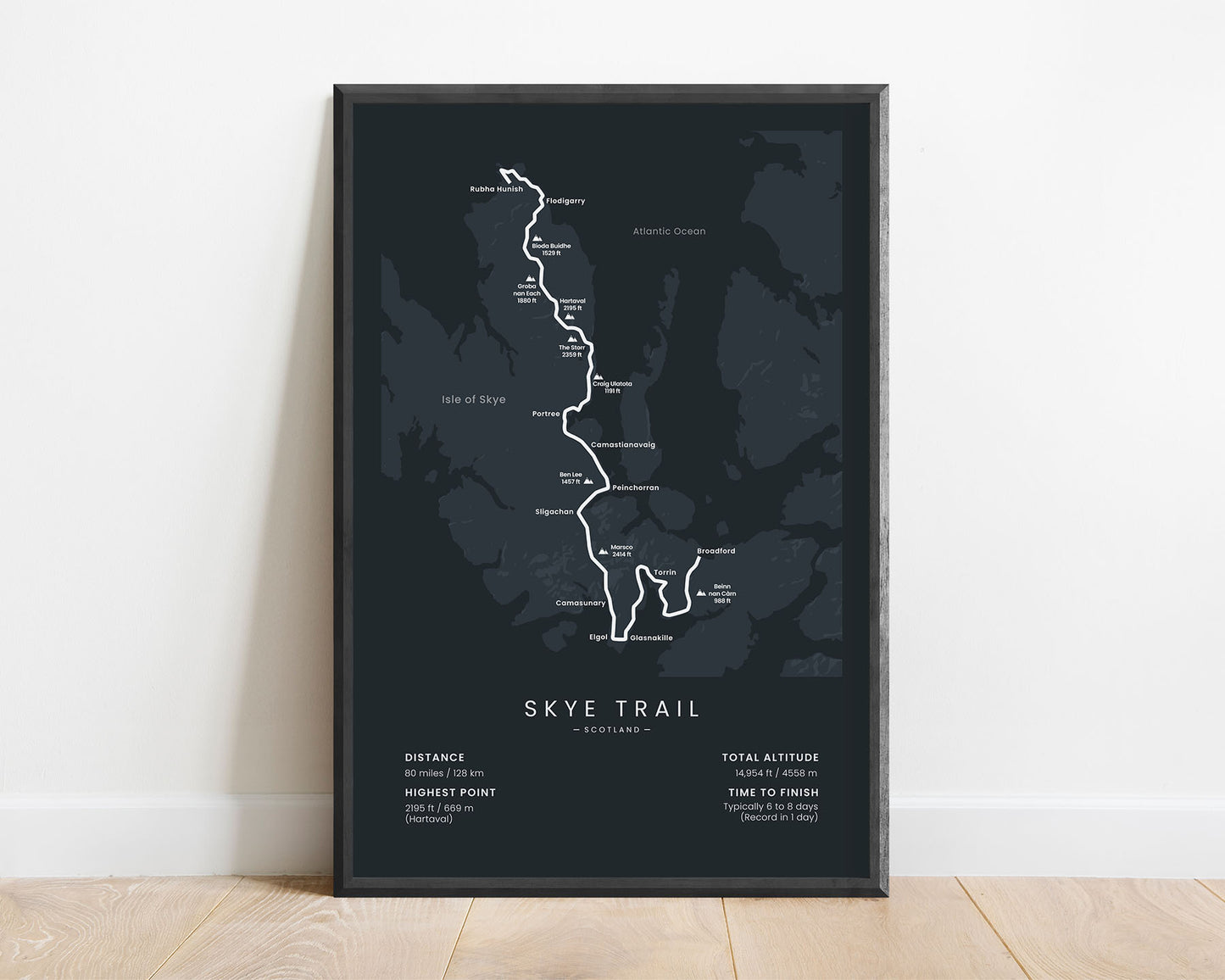
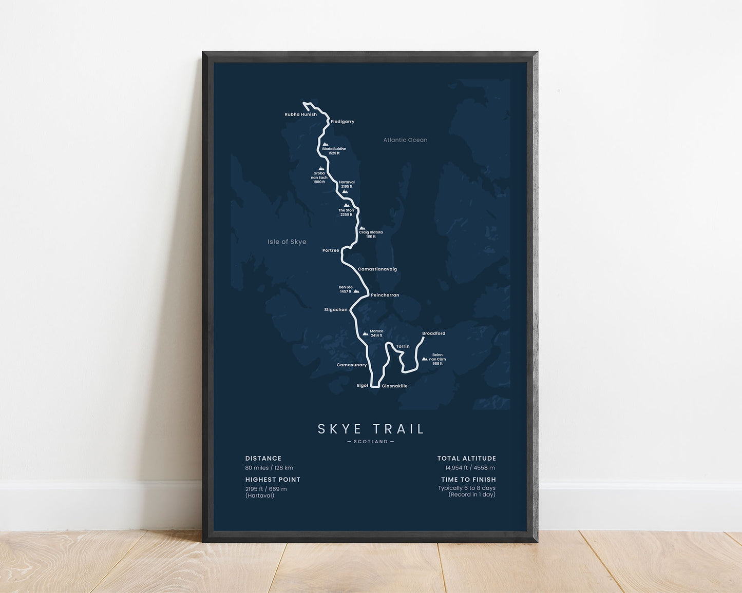
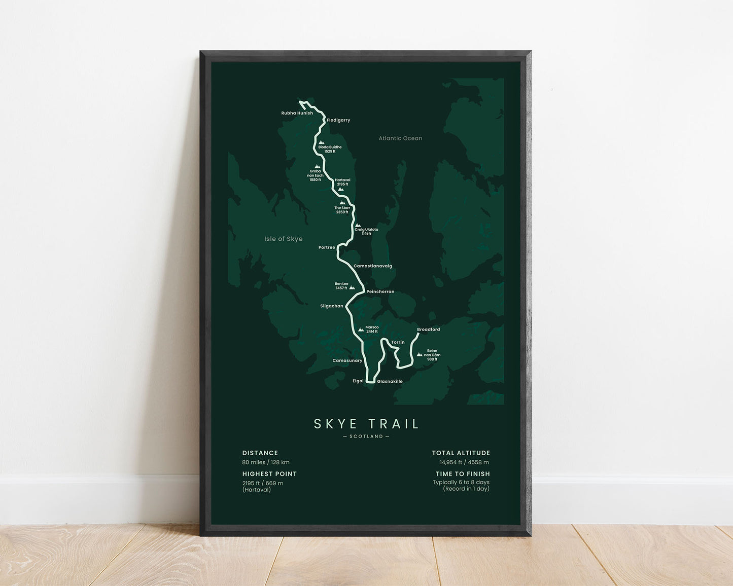
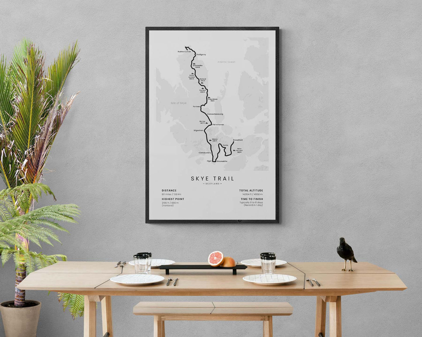
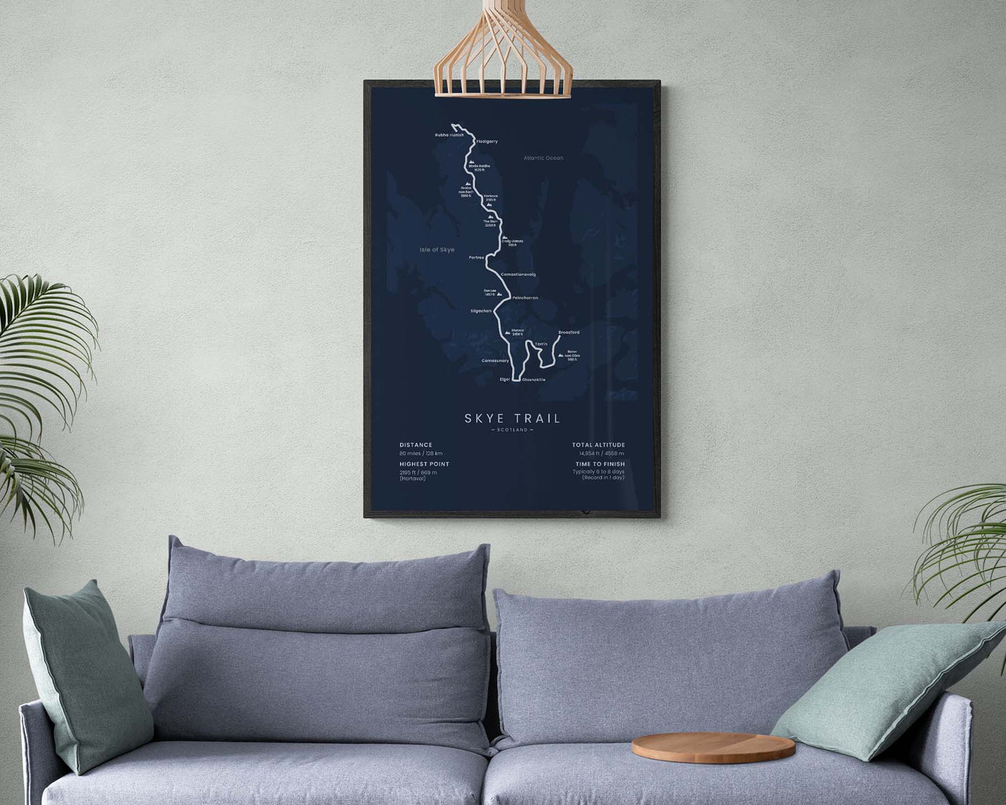

A poster that shows a map of the Skye Trail in the Scottish Highlands. It shows the full route of the trail, as well as some important villages, peaks, and other points of interest. At the bottom, it also shows important details about the trail, like the total distance, altitude, and more. It will fit into most minimal and modern designs and is also a unique gift to give to someone who has finished the trail.
About the Skye Trail
The Skye Trail (other called "The Isle of Skye Thru Hike") is an unofficial hiking trail that crosses the Isle of Skye in Scottland, United Kingdom. That said, it's one of the most popular hiking trails in the UK due to its breathtaking scenery and plenty of camping opportunities. It takes you through typical Scottish Highlands, with crystal-clear lakes, green meadows, steep cliffs, and rough coastlines. The Skye Trail starts at a rock in the North part of the Isle of Skye, called "Rubha Hunish". Then it goes 80 miles across the whole island and finishes at Broadford - the second largest settlement on the Isle of Skye. The trail can be completed all year round, but the best time to hike is definitely in late spring and early summer, however, theses are also the peak tourist times.
Statistics About the Skye Trail
- Start point: Rubha Hunish, Isle of Skye, Scottland, England
- End point: Broadford, Isle of Skye, Scottland, England
- Total distance: 80 miles / 128 km
- Total altitude gain/loss: 14 954 ft / 4558 m
- Highest point: 2195 ft / 669 m (Hartaval)
- Countries crossed: United Kingdom
- Time to finish: Usually 6-8 days
- Record finish: 1 day
- Best time to hike: April-August

