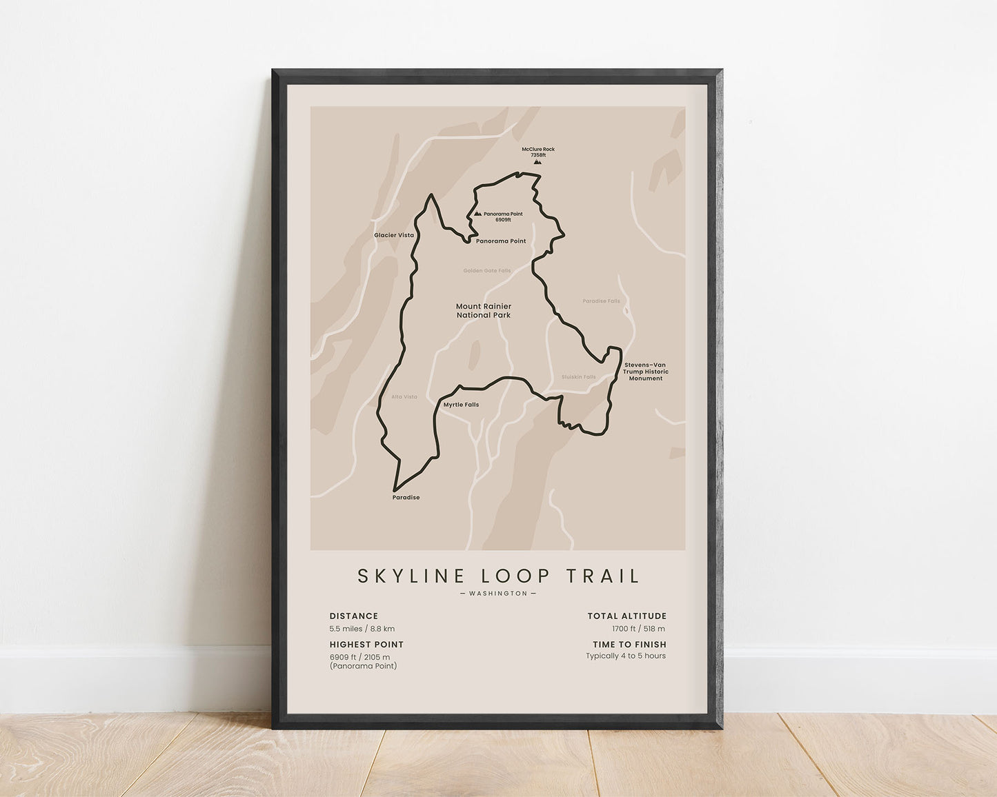
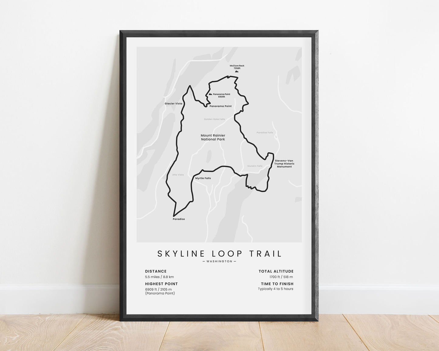
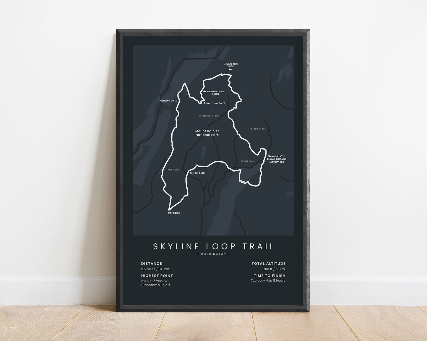
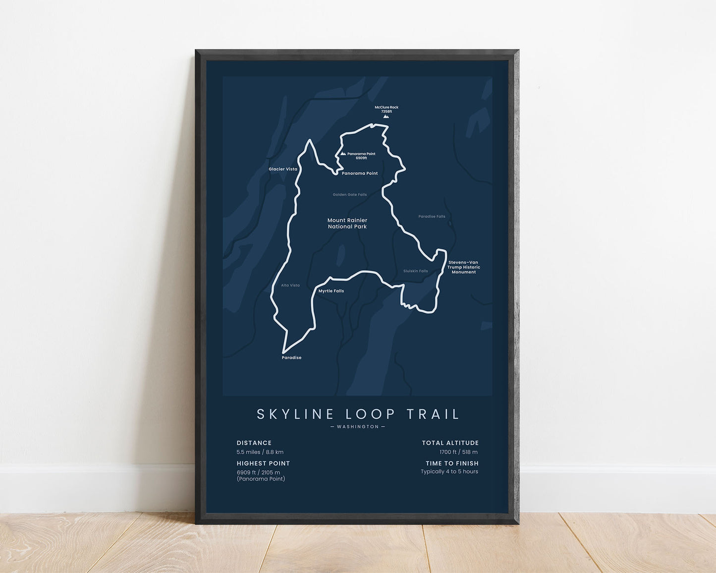
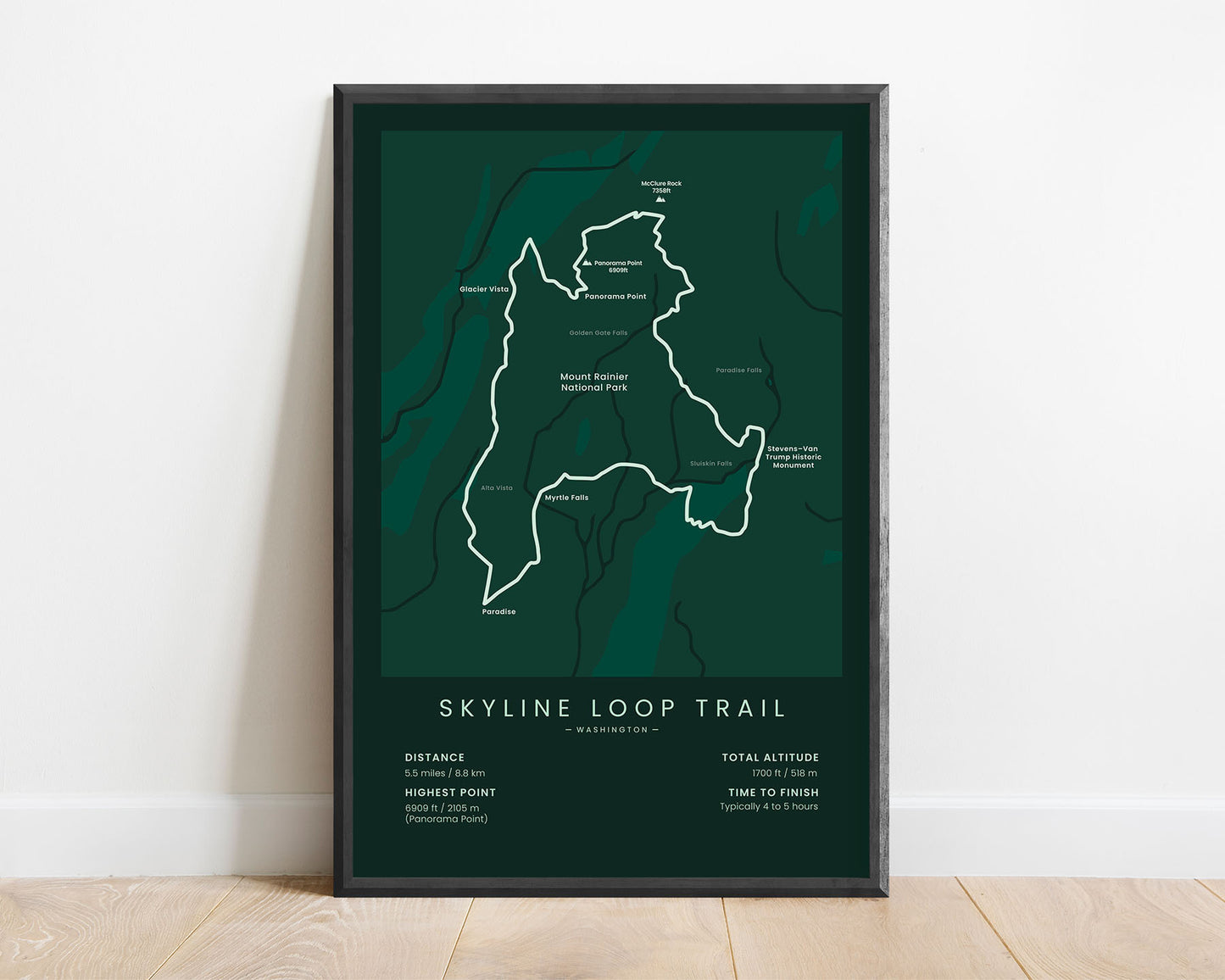
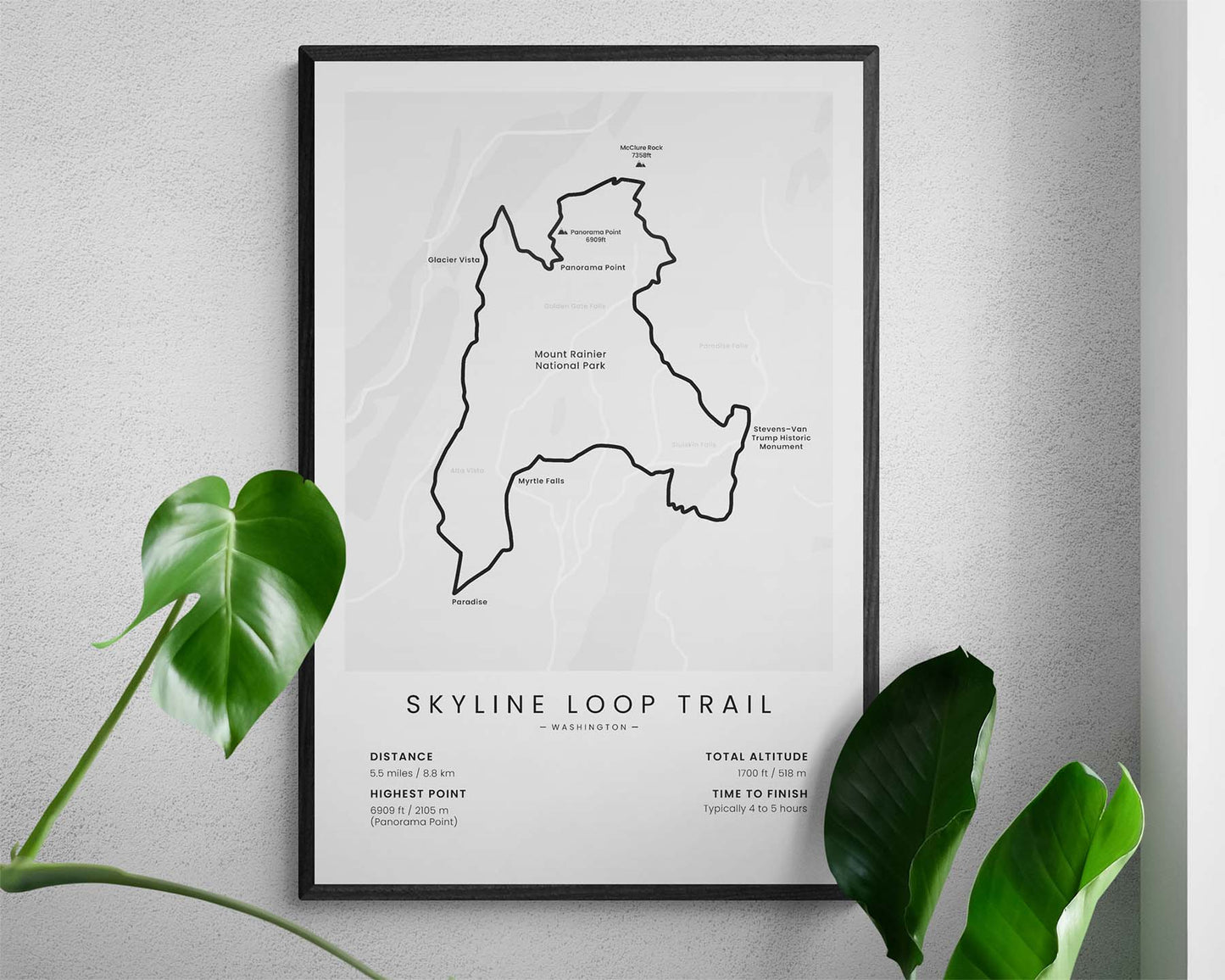
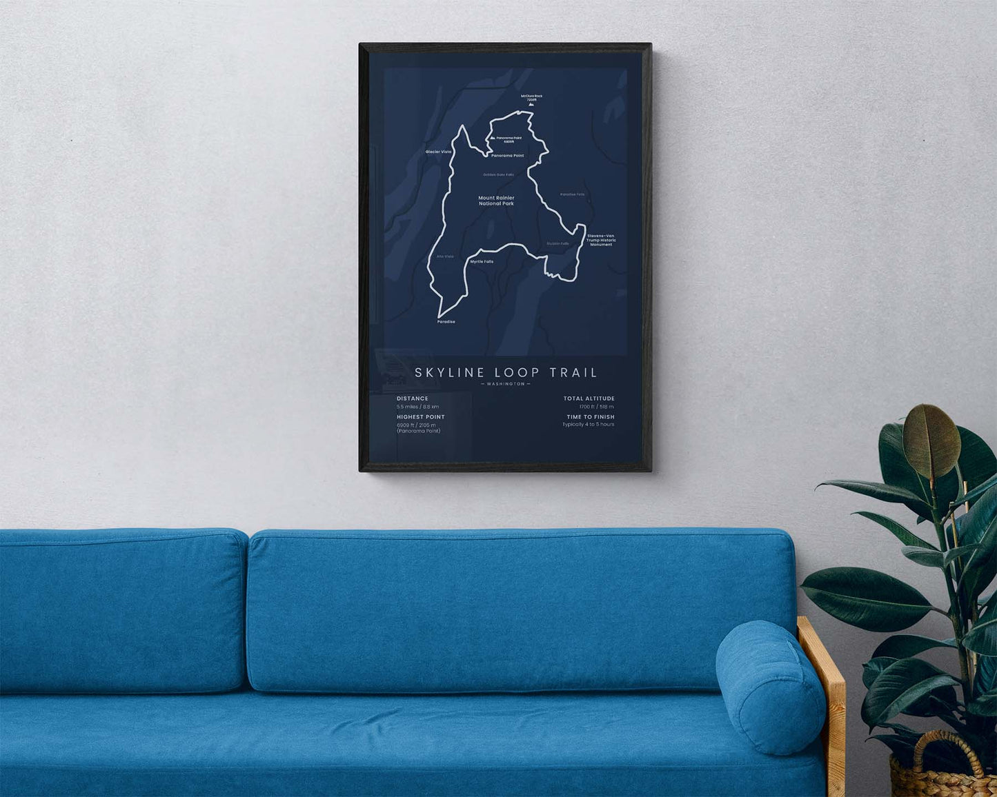

A poster that shows the Skyline Loop Trail in Washington. It displays the map of the whole trail, the main points of interest, rivers, and streams, and important statistics about the trail, like the total distance, altitude gain, highest point, and more. It’s offered in five different minimal colors to look good in most modern interiors. If you have finished this trail, this print will be a great way to remember your adventure.
About the Skyline Mount Rainier Loop
The Skyline Loop Trail (other called Skyline Mount Rainier Loop) is a short, circular trail in Mount Rainier National Park. It starts at Paradise, Washington, and loops 5.5 miles around the south side of Mount Rainier. It's considered to be one of the most beautiful day hikes in North America, with amazing views of Mount Rainier, overgrown pine tree forests, waterfalls, a lot of wildlife, alpine meadows, and white-water rivers. The trail itself is very easy to finish, with a large portion of it going through paved surfaces, and can be completed only in a few hours. Another trail that should not be glossed over is the Wonderland Trail in Mount Rainier National Park, which is a lot longer and loops around Mount Rainier Peak.
Statistics About the Skyline Loop Trail
- Start/end point: Paradise, Washington, United States
- Total distance: 5.5 miles / 8.8 km
- Total altitude gain/loss: 1700 ft / 518 m
- Highest point: 6909 ft / 2105 m (Panorama Point)
- Time to finish: Usually 4-5 hours
- Best time to hike: June - September


