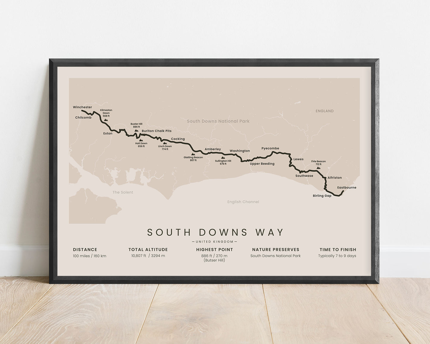
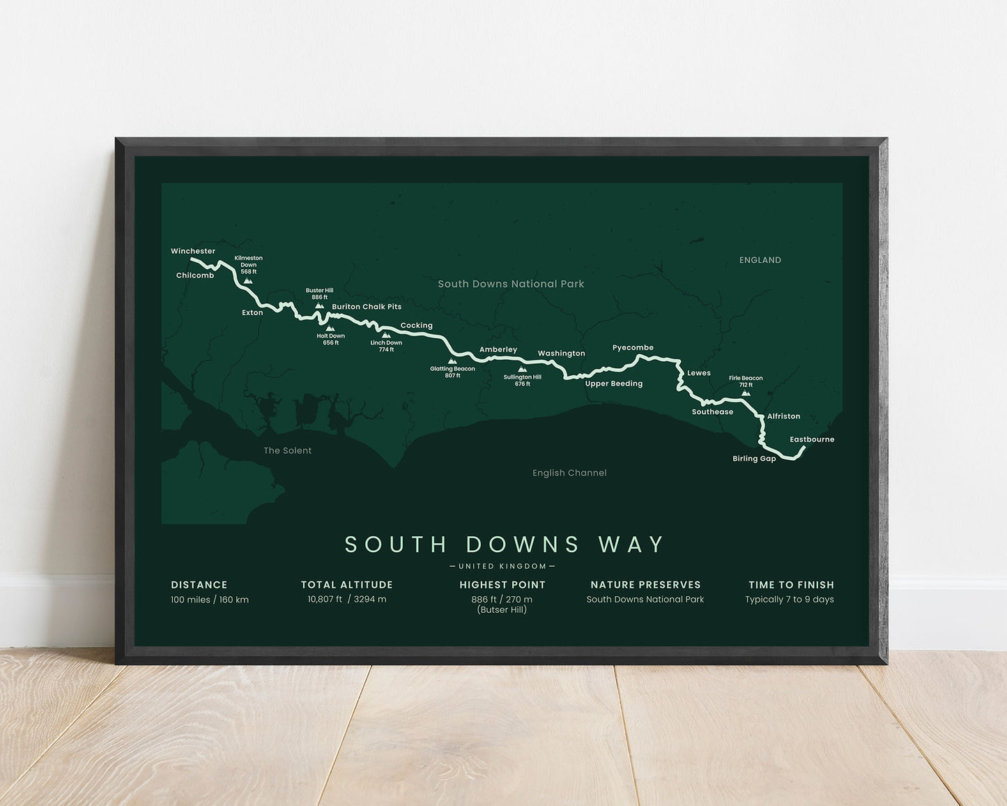
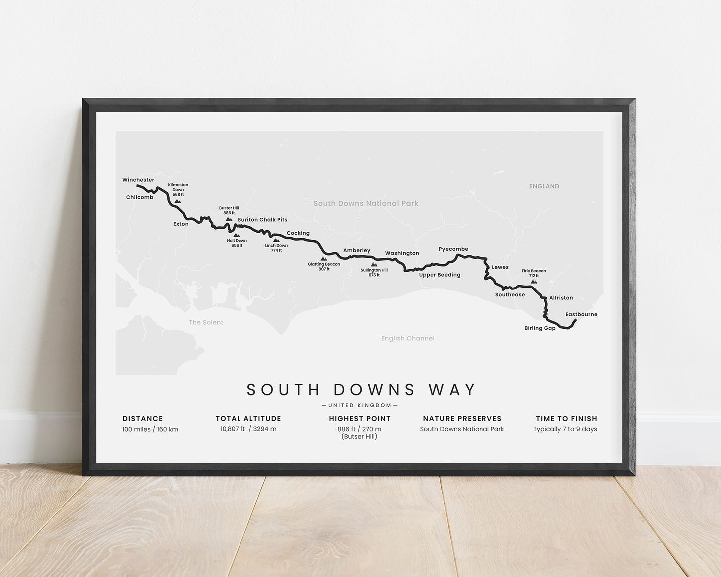
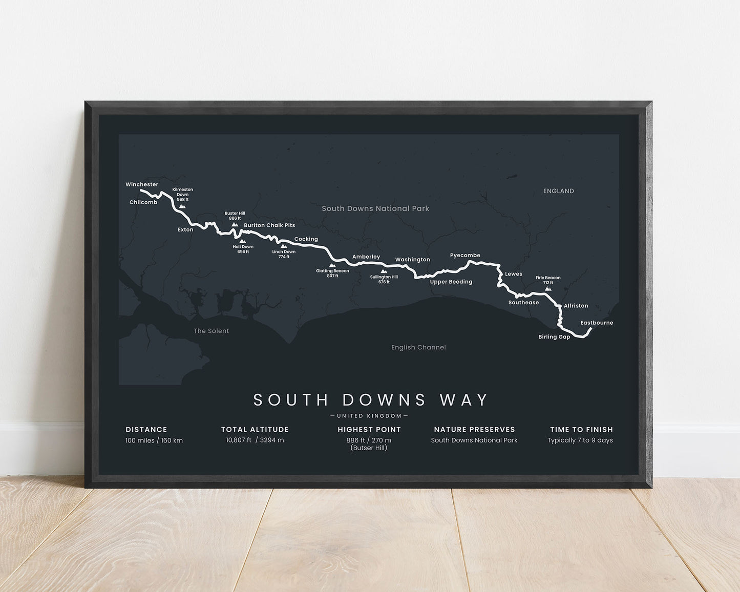
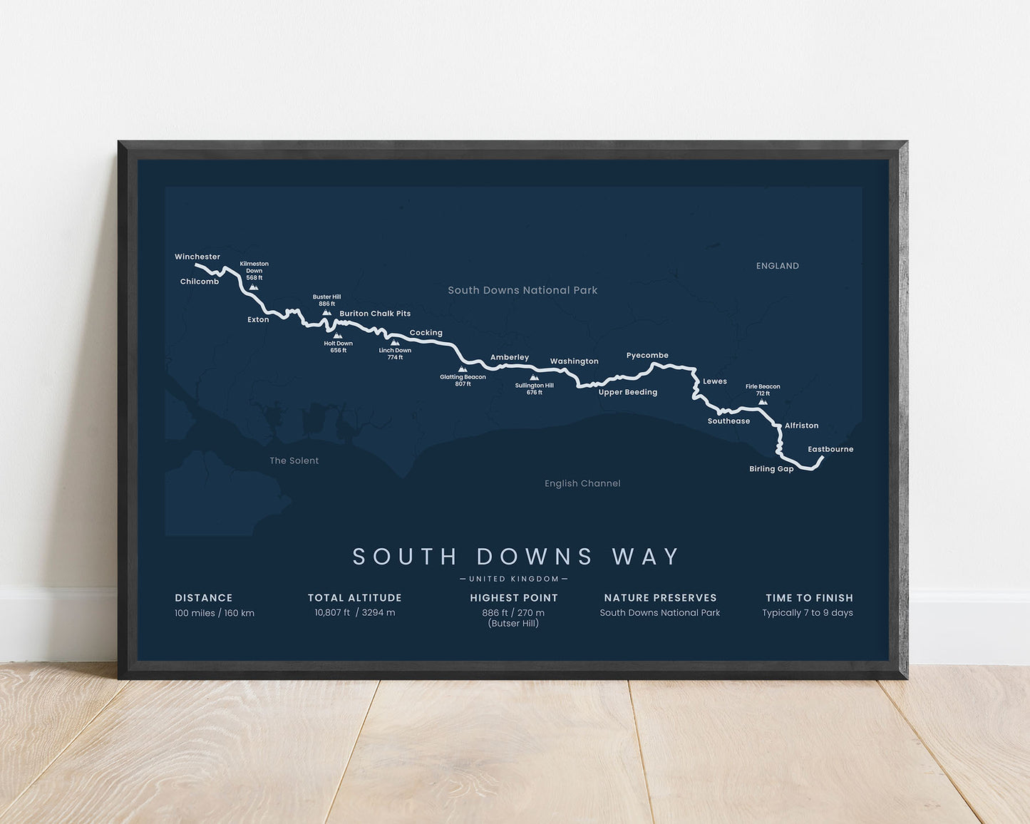


A minimalistic poster of the South Downs Way Hiking Trail in South England. It shows the full map of the trail, important statistics, the highest hills, and the main points of interest. If you’ve hiked the South Downs Way, then this poster will be a great addition to your home.
About The South Downs Way
The South Downs Way is a long-distance hiking trail in South England. It starts at Winchester and stretches 100 miles until Eastbourne. The South Downs Way is so popular because it goes through the South Downs National Park and the Chalk Escarpment, which includes some amazing views. It also passes many quiet and small villages with a lot of heritage along the way.
Statistics About the South Downs Way
- Start point: Winchester, Hampshire, England, United Kingdom
- End point: Eastbourne, East Sussex, England, United Kingdom
- Total distance: 100 miles / 160 km
- Total altitude gain/loss: 10 807 ft / 3294 m
- Highest point: 886 ft / 270 m (Butser Hill)
- Points of interest: South Downs National Park, Chalk Escarpment
- Time to finish: Typically 7 to 9 days


