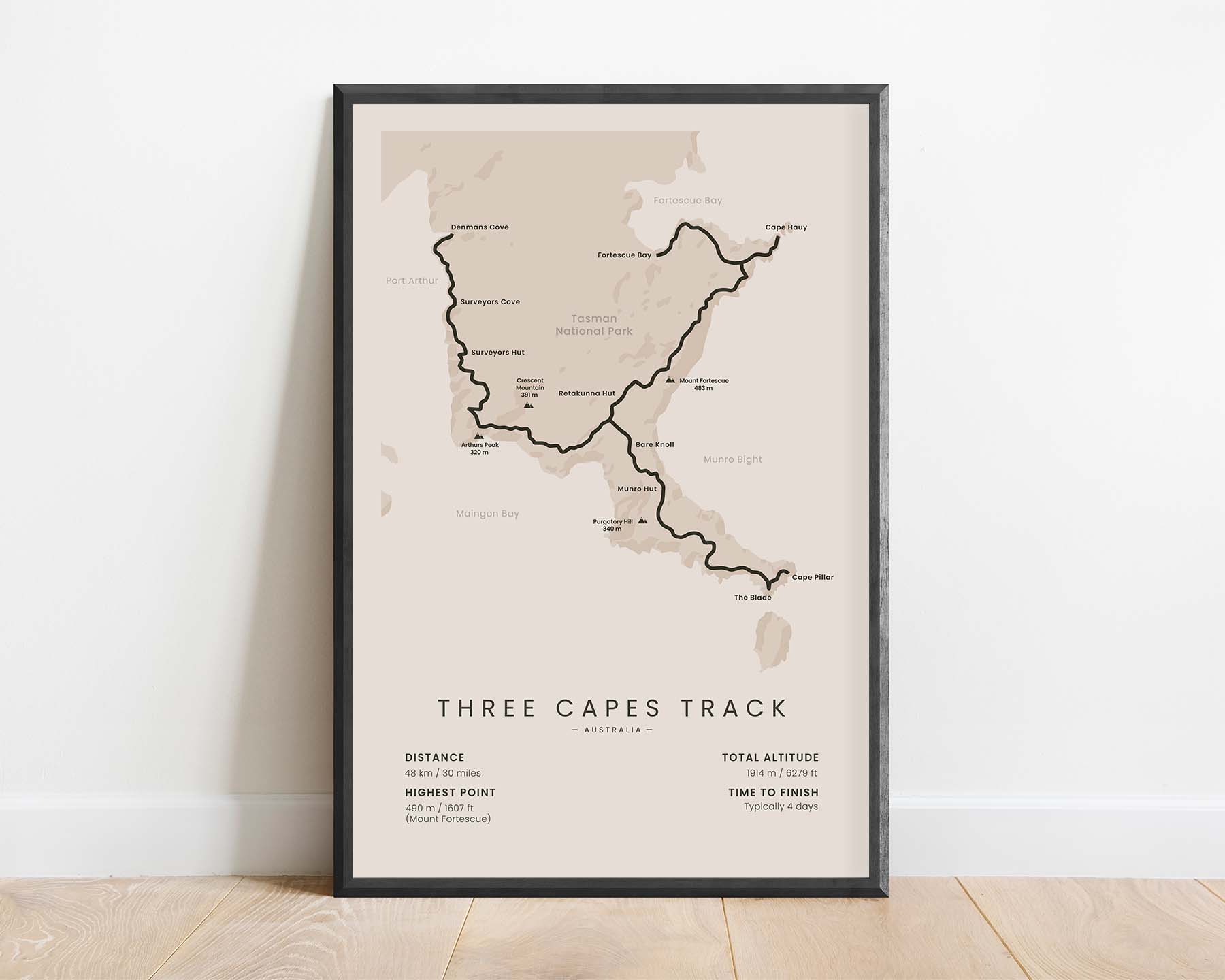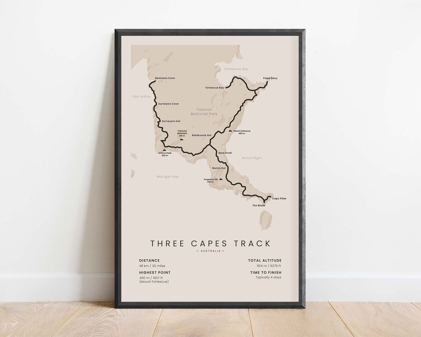
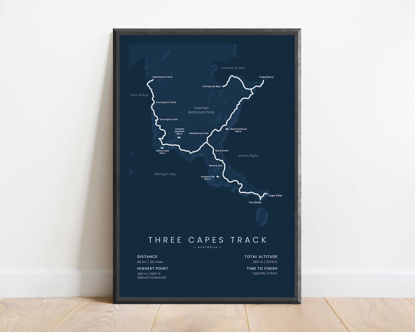
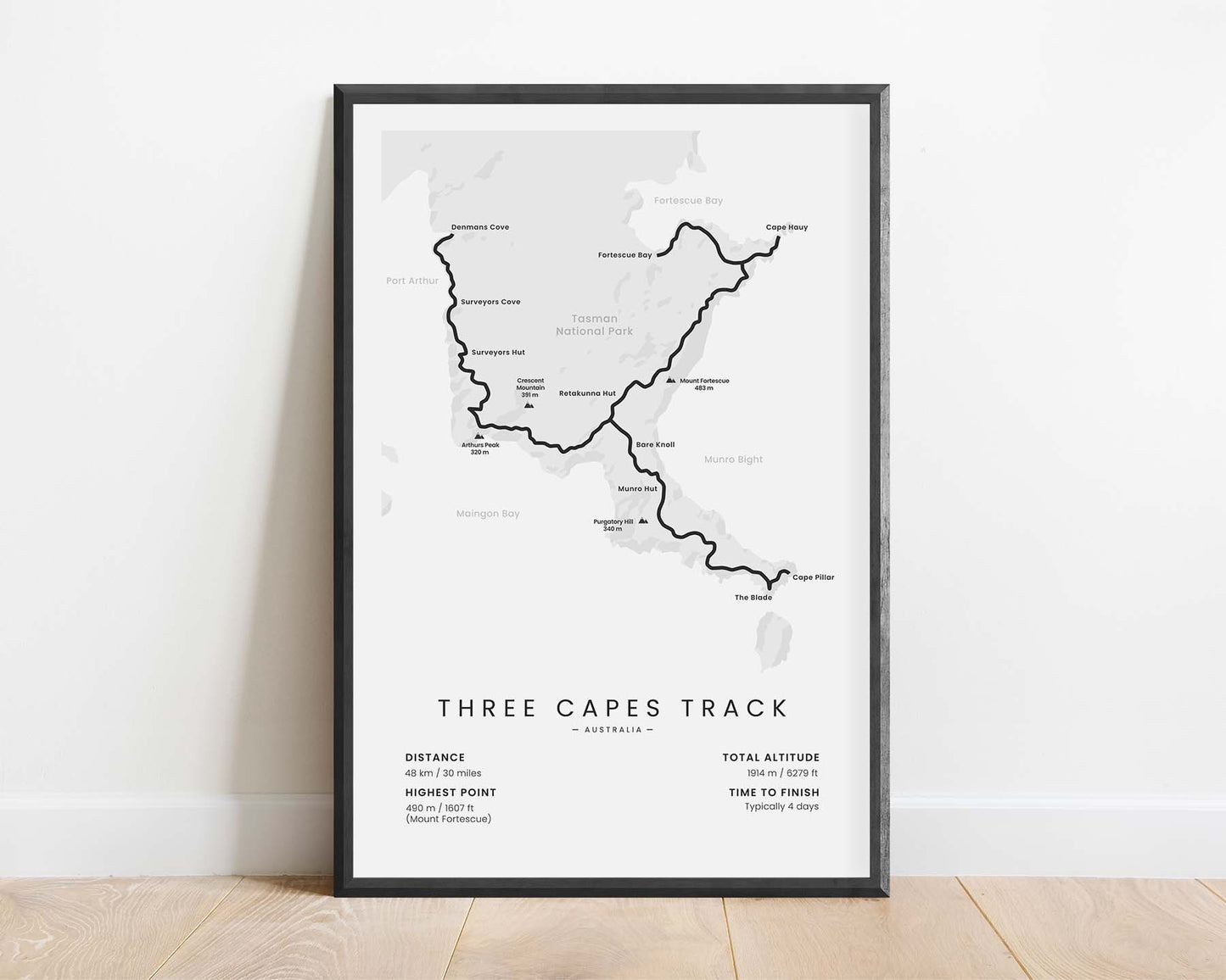
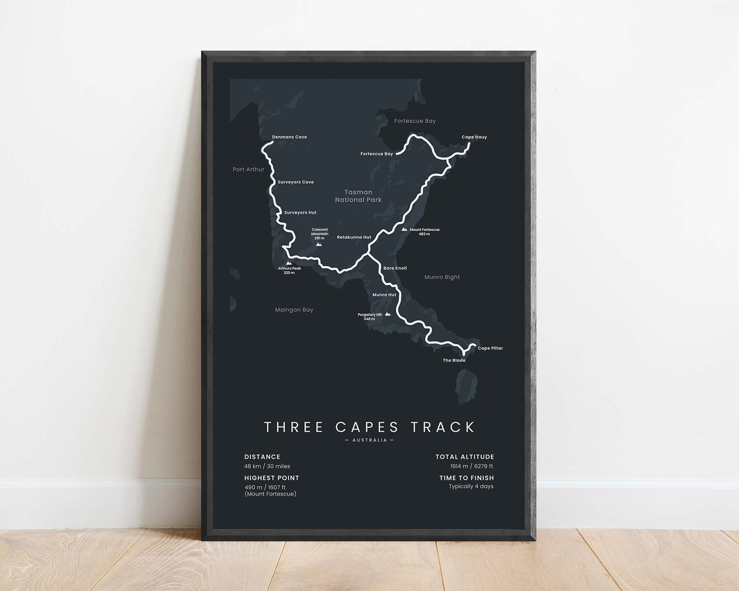
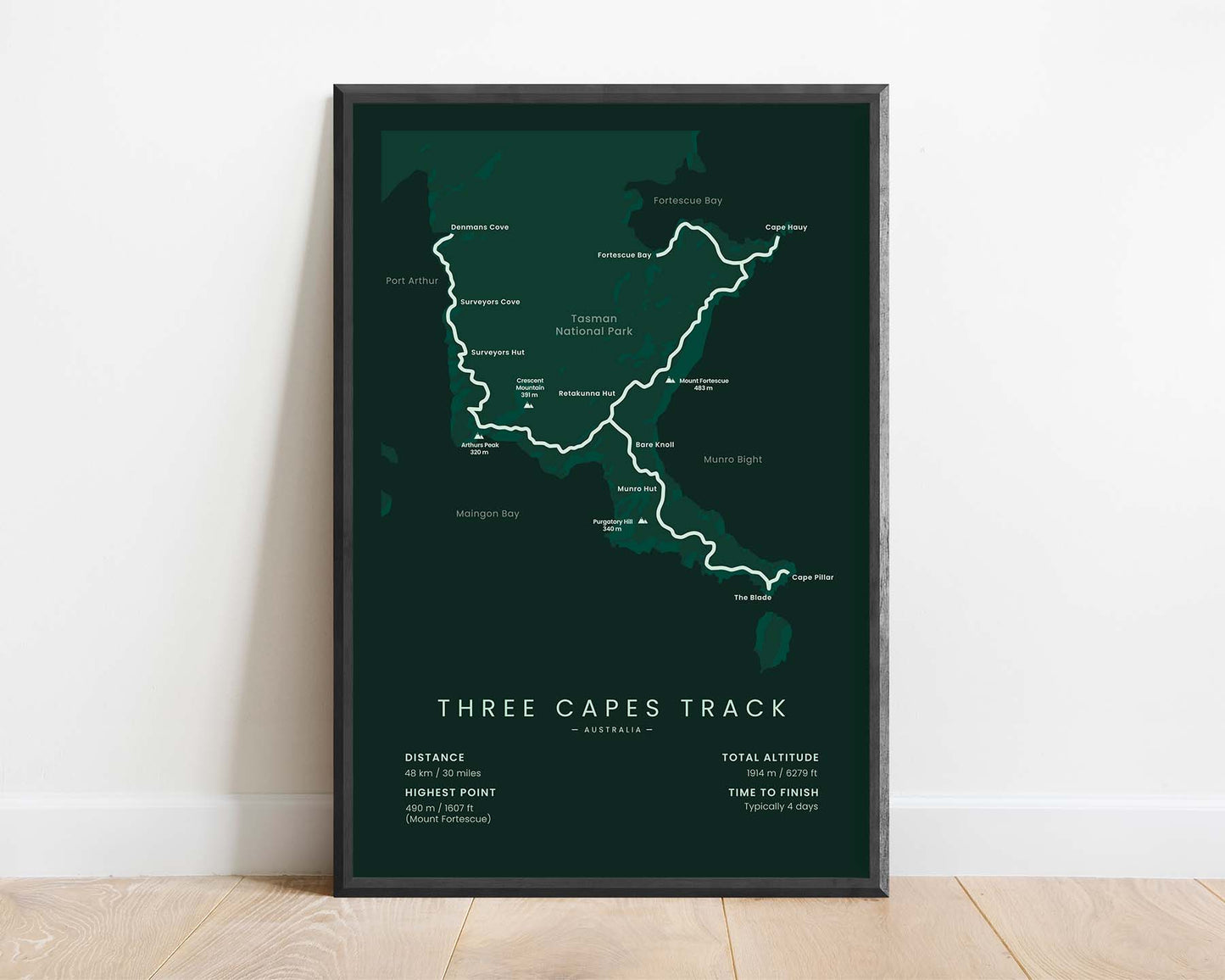


A print that shows the map of the Three Capes Track trail in Tasmania, Australia. It shows the full route of the trek, key points of interest, and statistics about it at the bottom.
About the Three Capes Track
The Three Capes Track (other called Three Capes Walk) is a multi-day hike in Tasman Peninsula, Tasmania, Australia. It starts and ends at the Port Arthur Historic Site, where a ferry takes you to the Denmans Cove. In total, it's 48 km in length and takes you up to three capes - the Cape Pillar, Cape Hauy, and Cape Raoul. On this hike, you'll walk along beautiful cliffs and meadows of the Tasman National Park. Usually, people complete it in 3-5 days.
Statistics About the Three Capes Track
- Start point: Denmans Cove
- End point: Fortescue Bay
- Total distance: 48 km / 30 miles
- Total altitude gain/loss: 1914 m / 6279 ft
- Highest point: 490 m / 1607 ft (Mount Fortescue)
- Points of interest: Tasmania, Tasman National Park, Port Arthur Historic Site, Denmans Cove, Tasman Peninsula, Cape Pillar, Cape Hauy, Cape Raoul
- Countries crossed: Australia
- Time to finish: Typically 4 days

