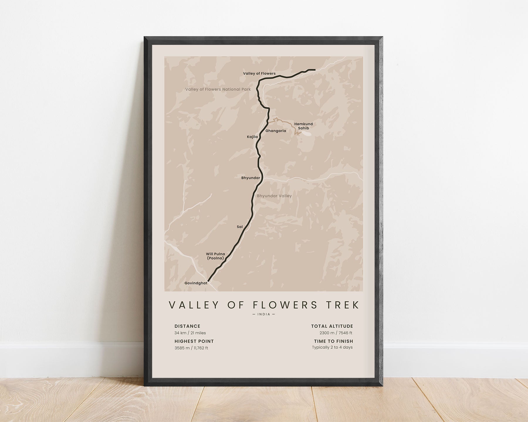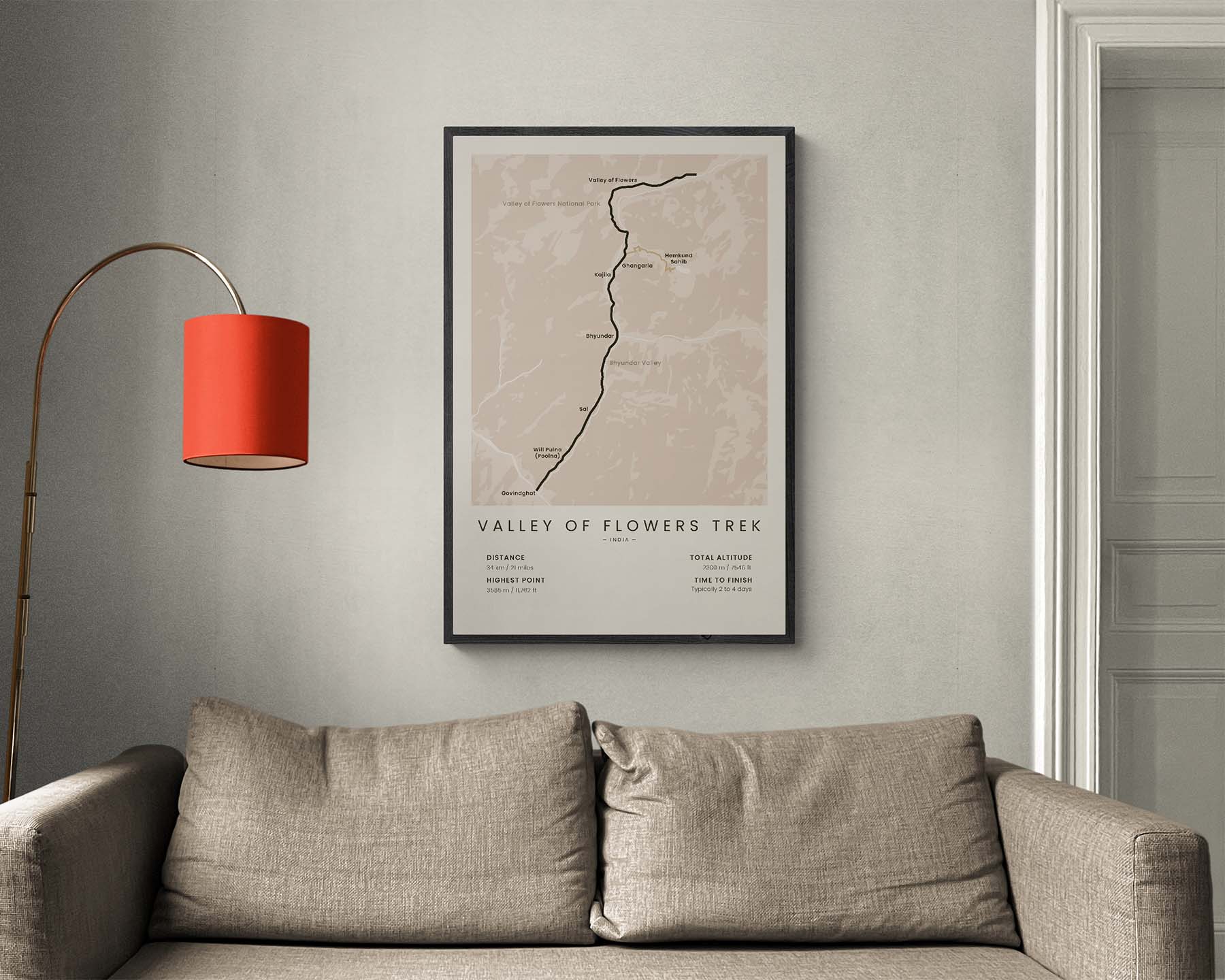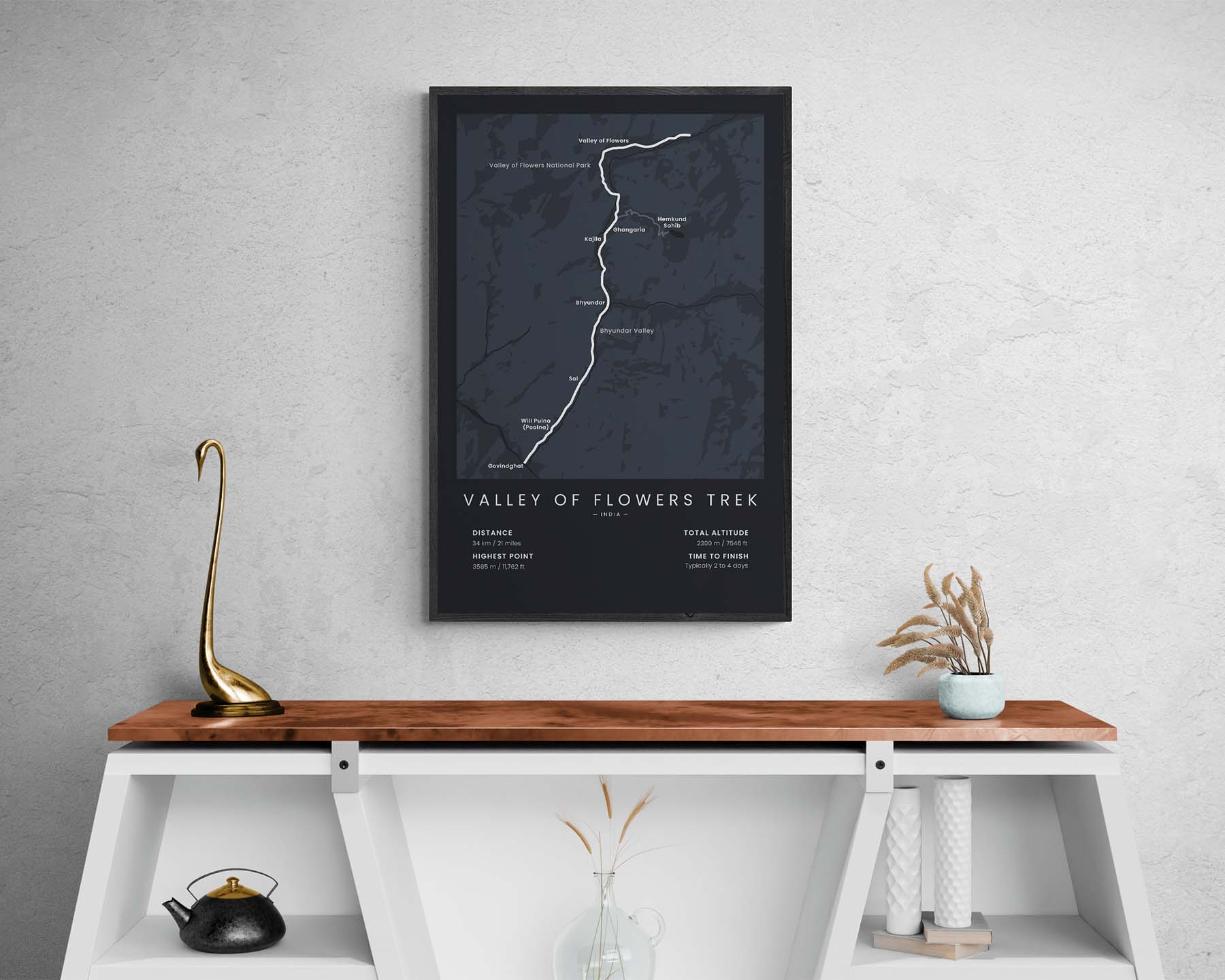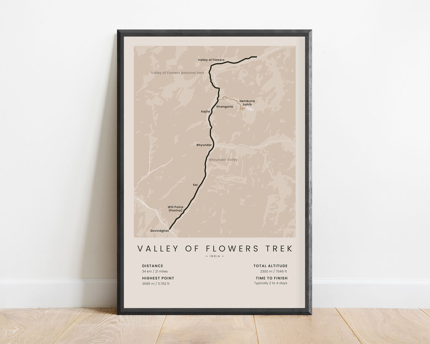
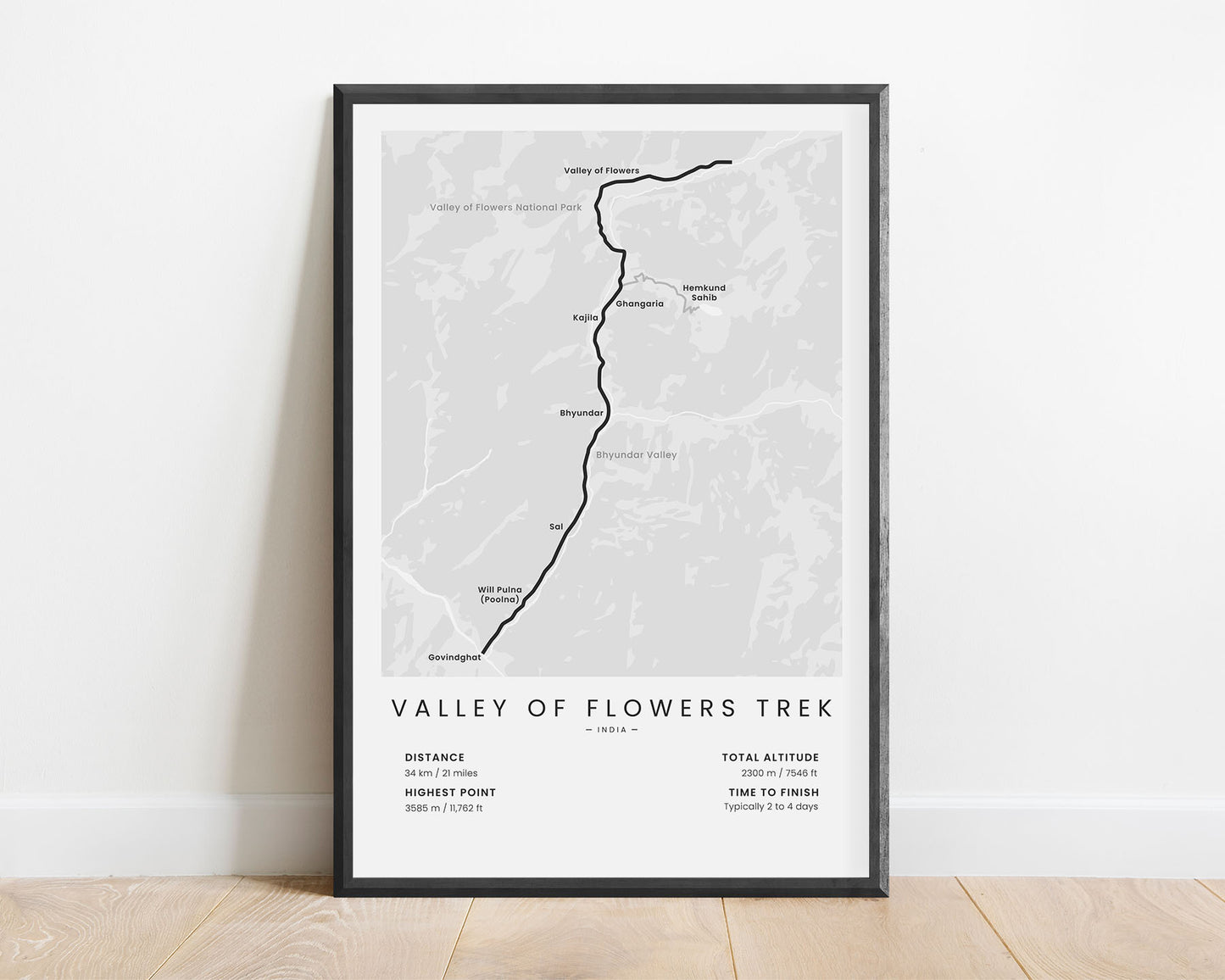
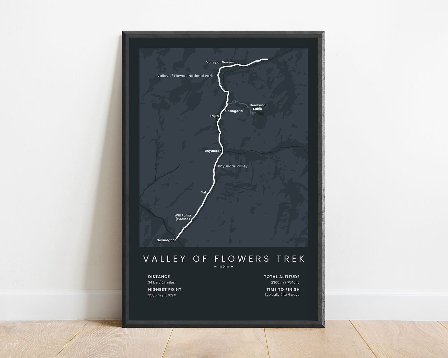
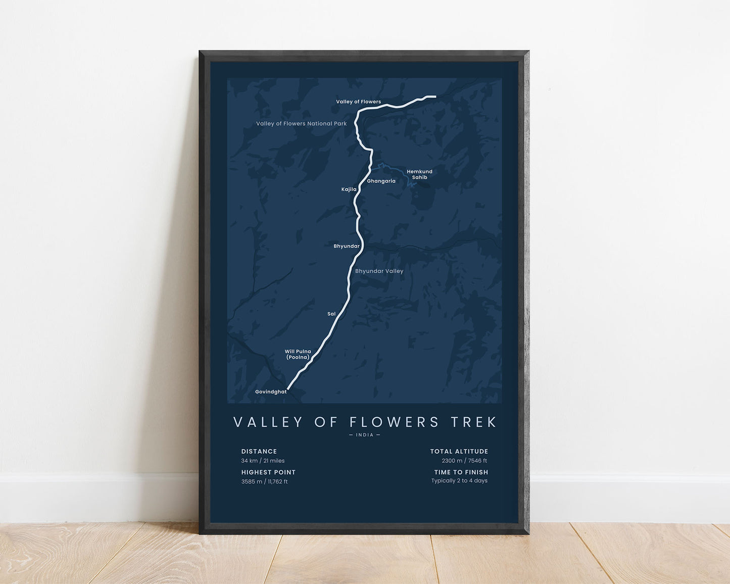
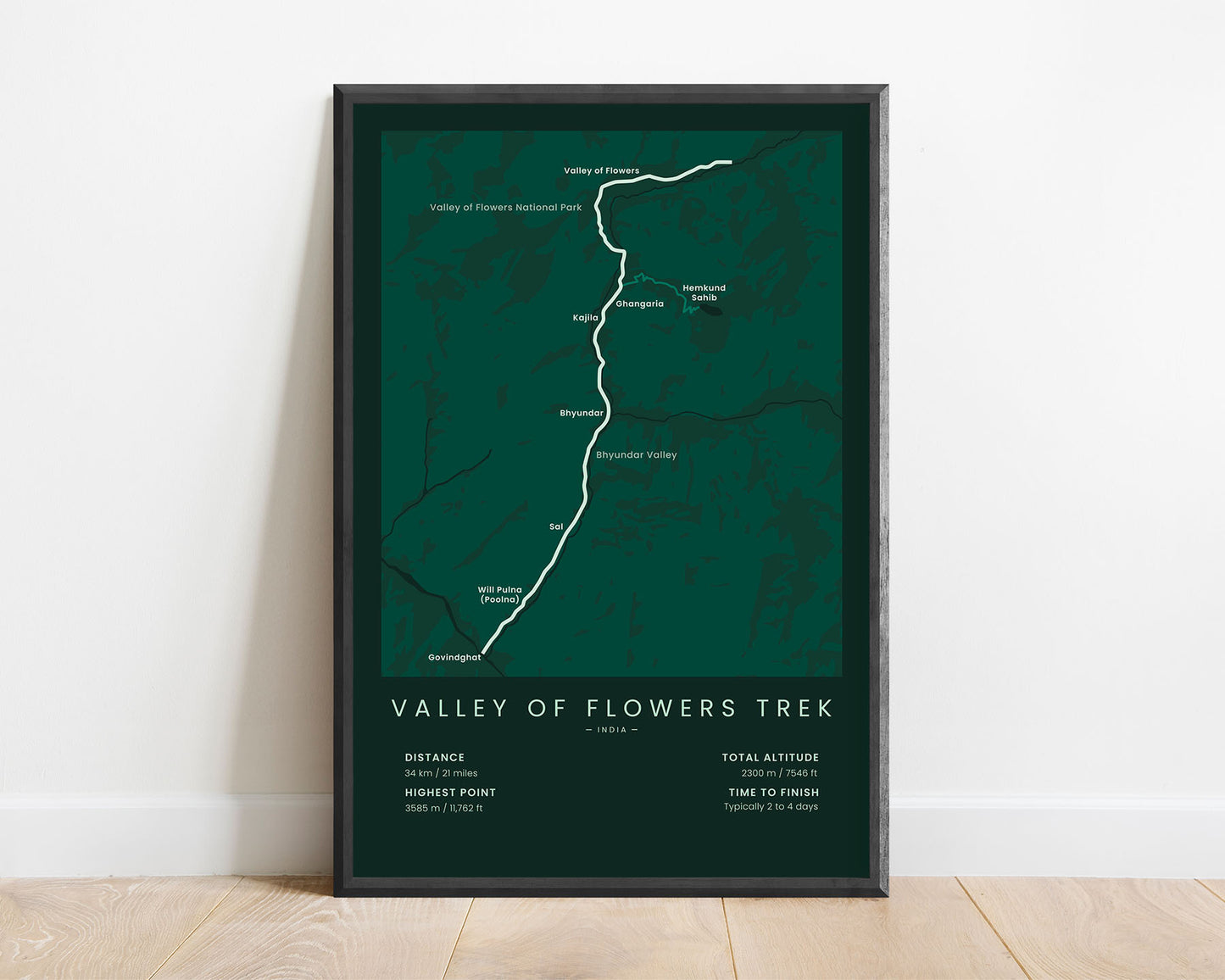
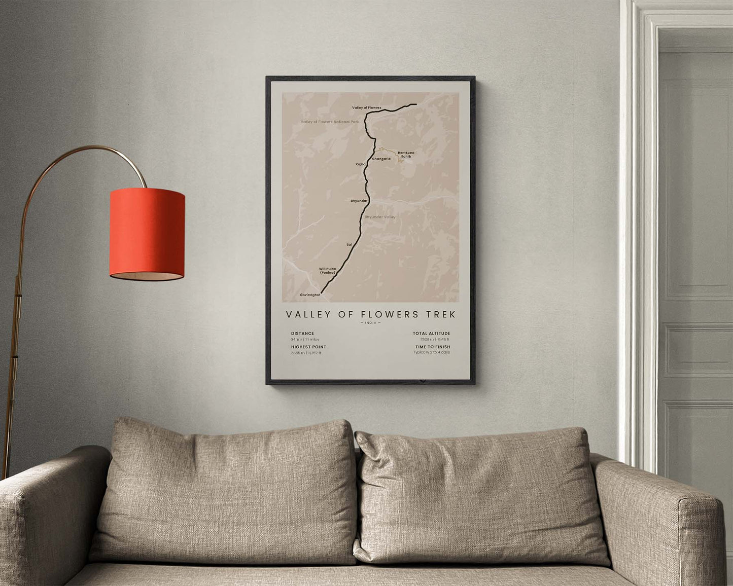
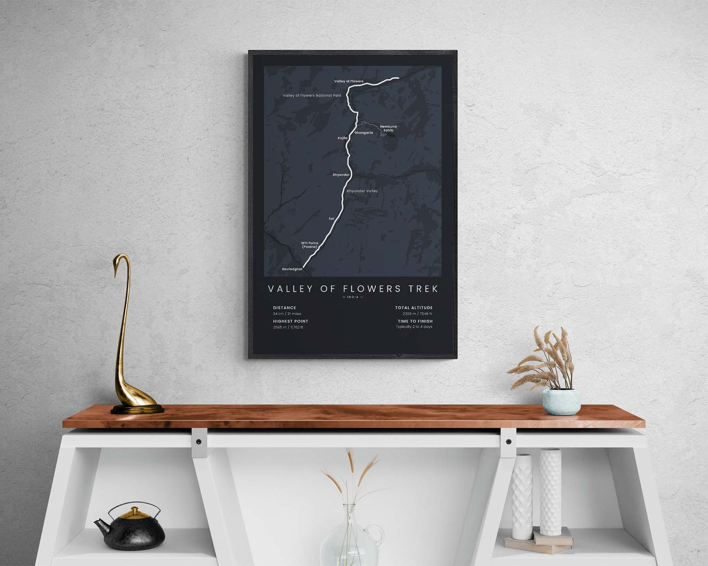

A minimalist print that shows the map of the Valley of Flowers Trek in India, Himalayas. It shows the full route from Govindghat to the Valley of Flowers, including the side route to Hemkund Sahib, a rough topographical map with the main rivers and lakes, and the key villages along the trek. At the bottom, it also shows the total distance of the trail, elevation gain, and other important statistics. If you’ve hiked the Valley of Flowers Hike, then this poster will be a great addition to your home.
About The Valley of Flowers Trek
The Valley of Flowers Trek is one of the most popular treks in the Himalayas and also one of the oldest ones. It starts Govindghat or Will Pulna (Poolna), then goes roughly along the Bhlundhar Ganga river until it reaches the Valley of Flowers, and then heads back the same way. Just before the Valley of Flowers, you pass through Ghangaria, from where you can take another single-day detour to the sacred Hemkund Sahib, located right next to the Hemkud Lake (other called the Lake of Snow). This trek is so popular because it takes you through some of the most spectacular scenery in Nepal, including views of blossoming alpine meadows, rugged peaks, and white-water rivers, and even allows you to visit a popular, sacred shrine.
Statistics About the Valley of Flowers Trek
- Start point: Govindghat (or Pulna), Chamoli, Uttarakhand, India
- End point: Valley of Flowers, Chamoli, Uttarakhand, India
- Total distance: 34 km / 21 miles
- Total altitude gain/loss: 2300 m / 7546 ft
- Highest point: 3585 m / 11762 ft
- Points of interest: Valley of Flowers National Park, Hemkund Sahib, Hemkud Lake (Lake of Snow)
- Time to finish: Typically 3 to 5 days

