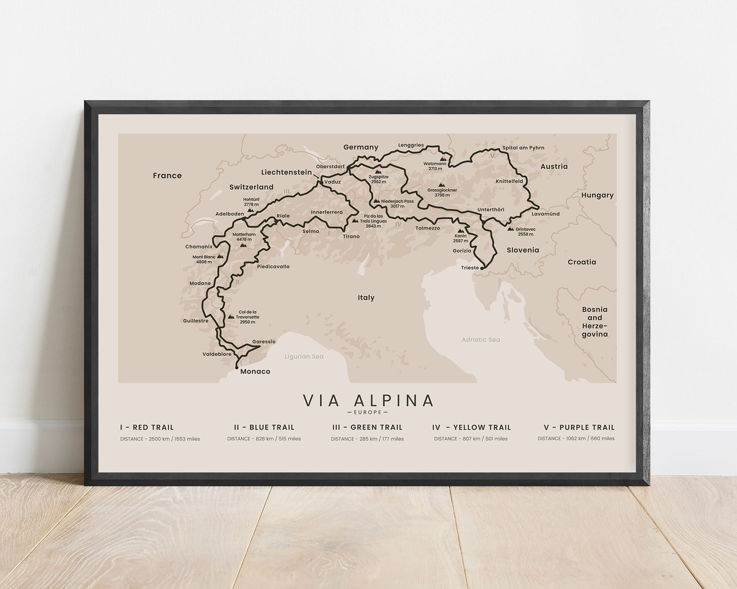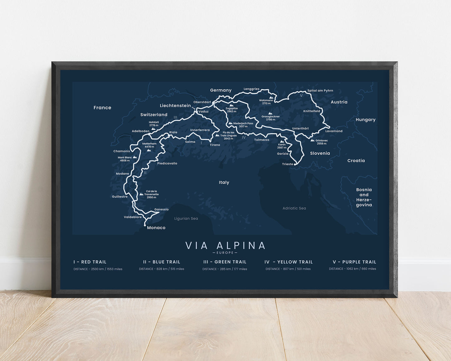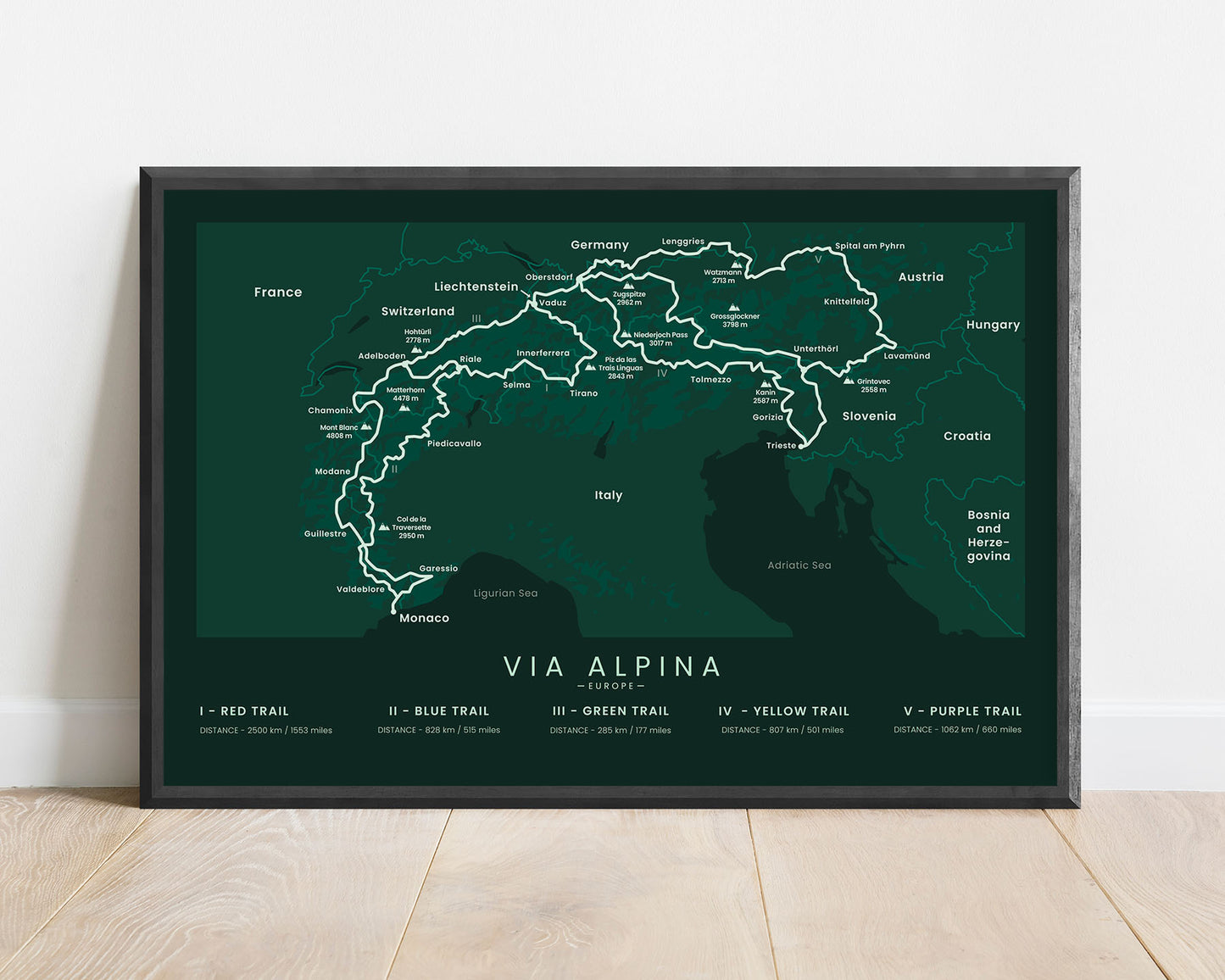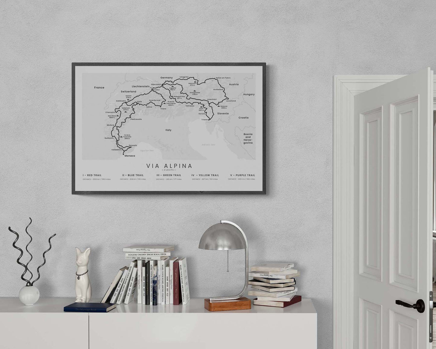


A poster that shows the map of the Via Alpina network of Hiking trails (red, blue, green, yellow, and purple trails). It shows a rough topographical area of the map, all the neighboring countries, the largest peaks, and the main villages along the way. At the bottom, you’ll also find the distance for each of the Via Alpina trails. If you’ve hiked one of these trails yourself, then this poster will be a great way to keep you on track to completing the other ones in the future.
About The Via Alpina
The Via Alpina is a network of long-distance hiking trails that stretch through the Alps. In total, the network consists of 5 different long-distance hiking trails - the Red Trail, Blue Trail, Green Trail, Yellow Trail, and Purple Trail. The longest one by far is the Red Trail, stretching to over 2500 km in length and going through 8 different countries. All of these hiking trails are very well-waymarked and each year, thousands of people hike them. That said, these trails definitely aren't easy, as you'll be passing through high mountains pretty much the whole way. That said, completing at least one of the Via Alpina hiking trails is definitely worth it, because you'll experience the wild, tranquil nature of the Alps in the center of Europe, walk through many different countries and experience different cultures, and see a lot of wildlife and amazing views along the way.
Statistics About the Via Alpina Hiking Trails
Red Trail (I)
- Start point: Itrieste, Italy
- End point: Monaco
- Total distance: 2500 km / 1544 miles
- Total altitude gain/loss: 108 000 m / 354 000 ft
- Highest point: 2849 m / 9347 ft
- Countries crossed: Slovenia, Austria, Germany, Liechtenstein, Italy, Switzerland, France, and Monaco
- Time to finish: Typically 4 to 6 months
Blue Trail (II)
- Start point: Riale, Italy
- End point: Sospel, France
- Total distance: 828 km / 514 miles
- Total altitude gain/loss: 50 000 m / 164 000 ft
- Highest point: 2933 / 9622 ft
- Countries crossed: Italy, Switzerland, France
- Time to finish: Typically 35 to 50 days
Green Trail (III)
- Start point: Triensberg, Lichtenstein
- End point: Lenk im Simmental, Switzerland
- Total distance: 285 km / 177 miles
- Total altitude gain/loss: 17 000 m / 55 000 ft
- Highest point: 2772 m / 9094 ft
- Countries crossed: Lichtenstein, Switzerland
- Time to finish: Typically 8 to 15 days
Yellow Trail (IV)
- Start point: Muggia, Italy
- End point: Oberstdorf, Germany
- Total distance: 807 km / 501 miles
- Total altitude gain/loss: 37 000 m / 114 000 ft
- Highest point: 3017 m / 9898 ft
- Countries crossed: Italy, Slovenia, Austria, Germany
- Time to finish: Typically 30 to 45 days
Purple Trail (V)
- Start point: Bovec, Slovenia
- End point: Oberstdorf, Germany
- Total distance: 1062 km / 660 miles
- Total altitude gain/loss: 45 000 m / 149 000 ft
- Highest point: 2294 m / 7526 ft
- Countries crossed: Slovenia, Austria, Germany
- Time to finish: Typically 5 to 8 weeks


