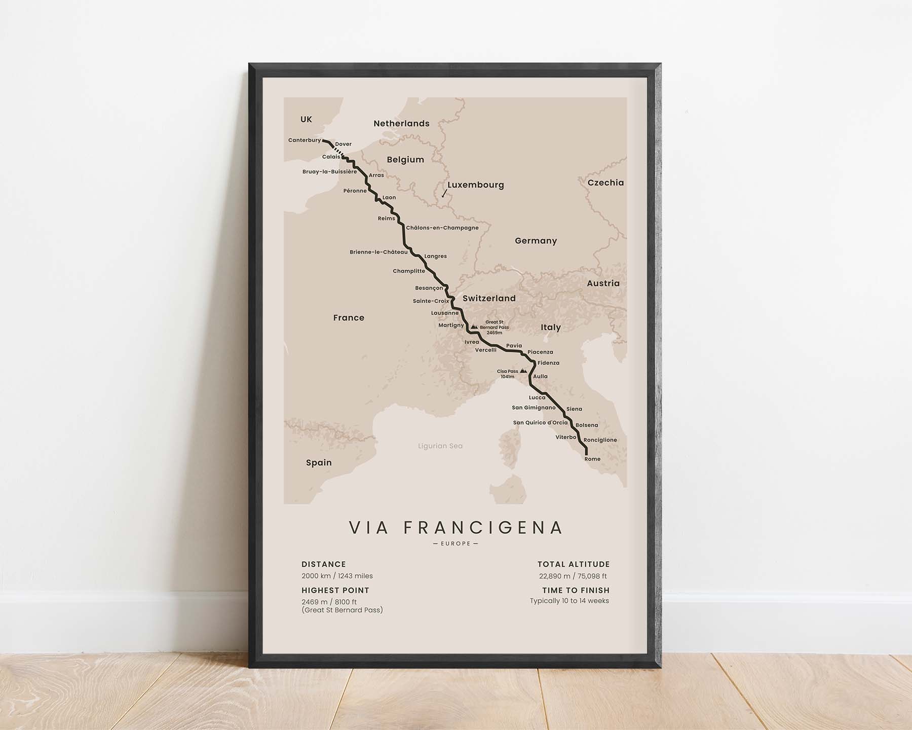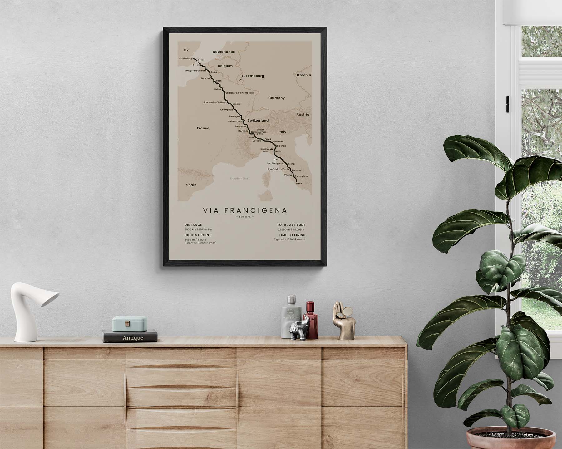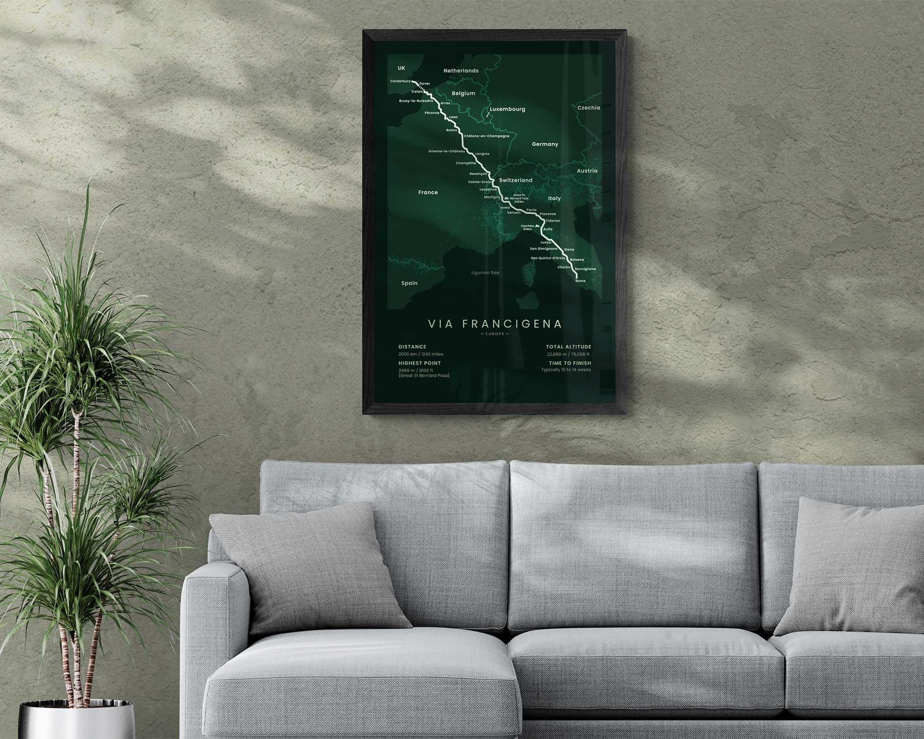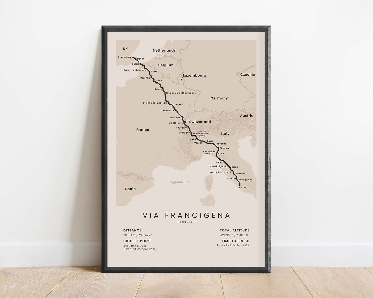
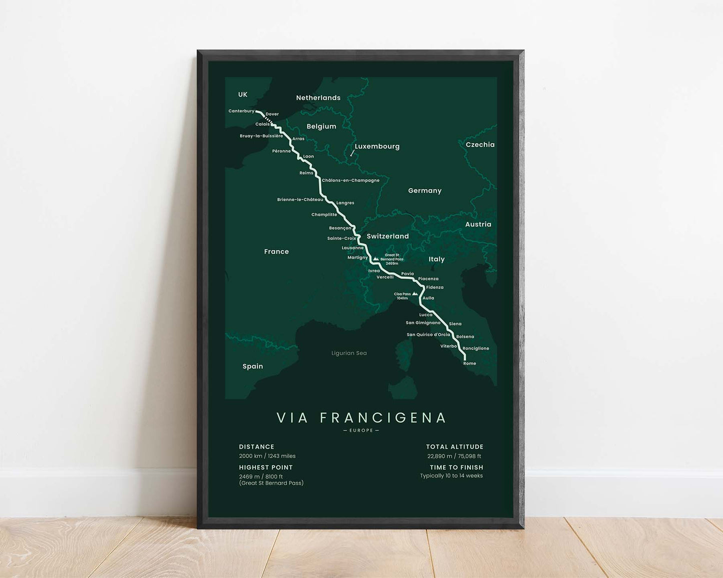
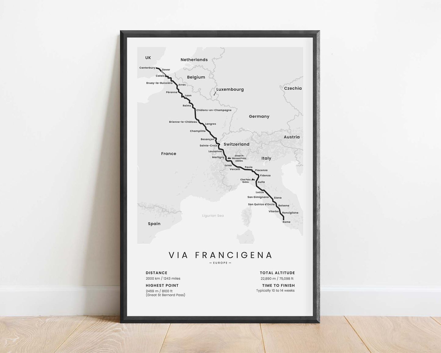
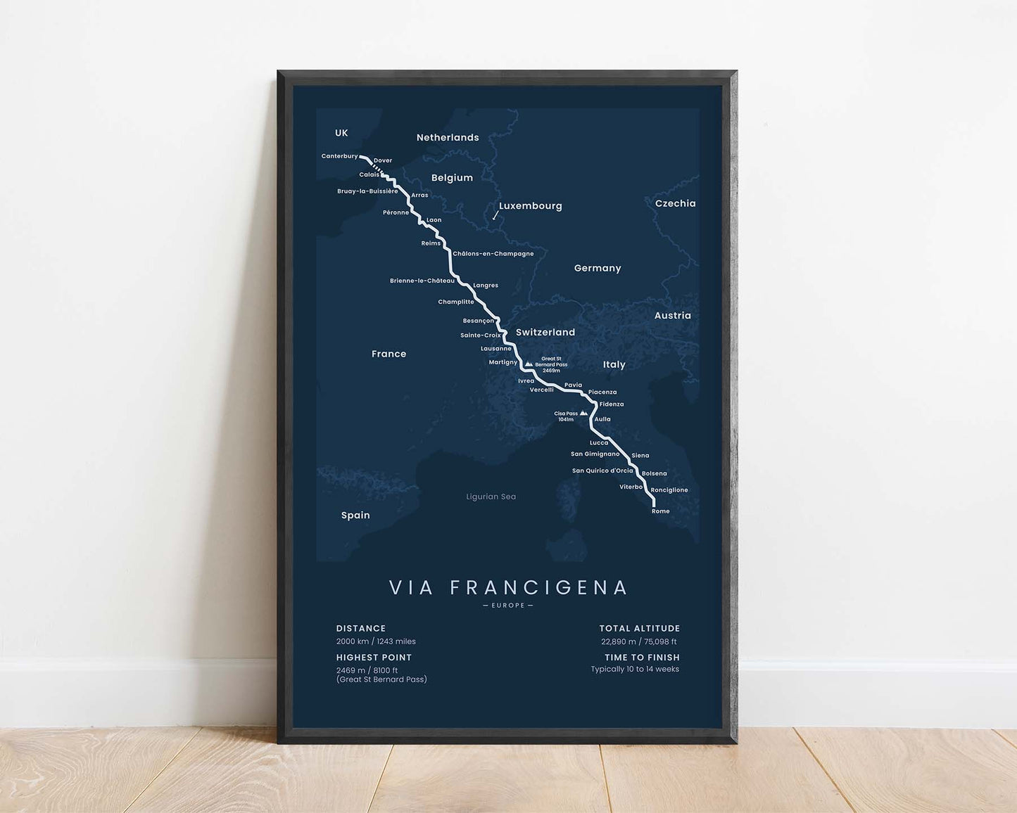
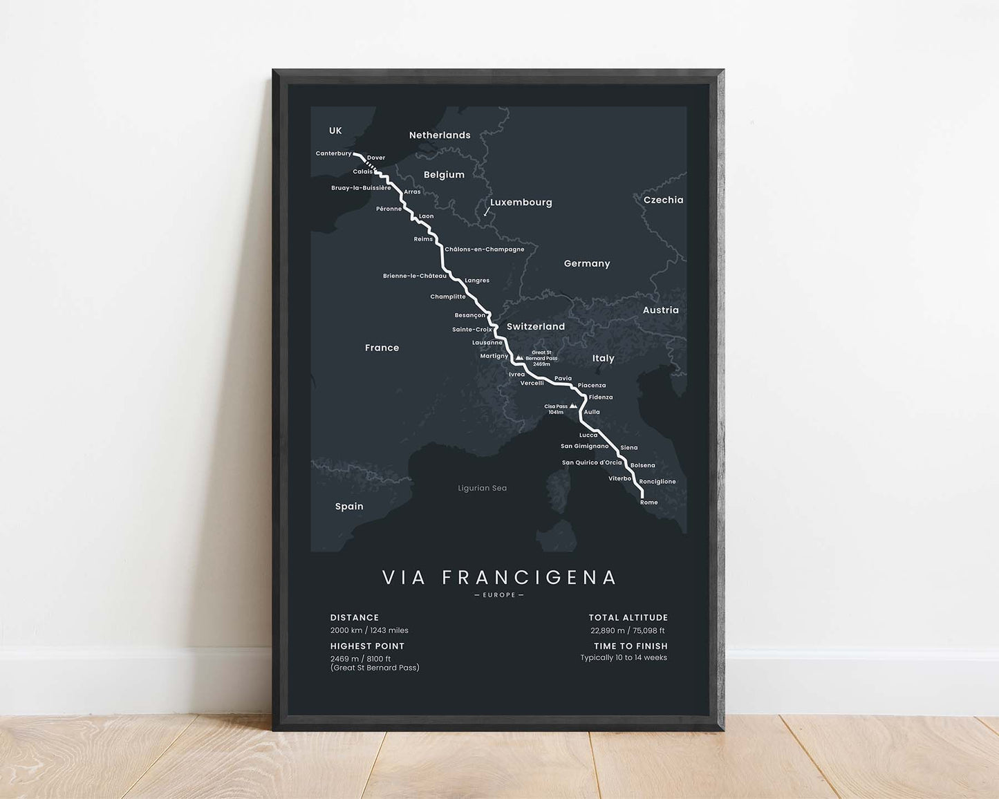
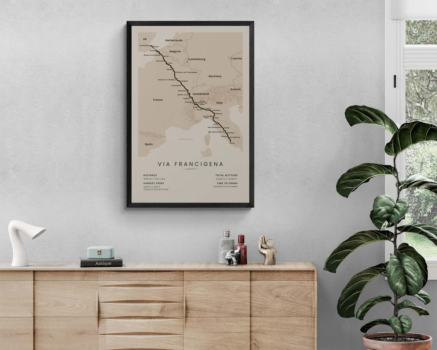
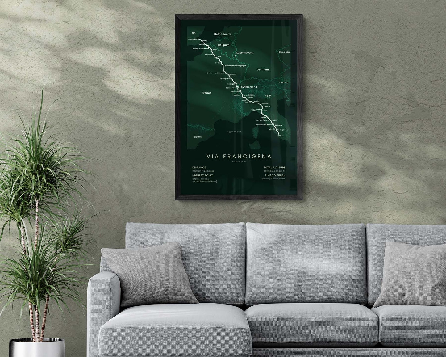

A minimalist poster of the Via Romea Francigena long-distance hiking trail. It shows the full map of the trail from Canterbury to Rome, important cities and peaks along the way, and important statistics about the trail. This print is offered in many different color and size options, so you can choose one that best fits your own home. If you know someone else who has finished or wants to finish the Via Francigena trail, then this print could also be a unique gift.
About the Via Romea Francigena Thru Hike
The Via Romea Francigena is a popular pilgrimage in Europe that stretches from Canterbury, United Kingdom to Rome, Italy. It's one of the oldest pilgrimages in the world - first being mentioned in the year 876, so it's over a thousand years old. It was used in the beginning as a pilgrimage route to see the "holy see" in Rome, and also as a trade route that connected England and France to Rome. Although nowadays, the Camino de Santiago and Kumano Kodo pilgrimages are more popular, the Via Romea Francigena is still completed by hundreds of people every year. It takes you through the rural parts of France and Italy, but it also navigates through some beautiful mountain sceneries in the Alps and also a bit of the Apennines. It usually takes about two months for people to finish because even though it does traverse through mountains, most of the trail goes through easy country roads.
Statistics About the Via Francigena Hiking Trail
- Start point: Canterbury, United Kingdom
- End point: Rome, Italy
- Total distance: 2000 km / 1243 miles
- Total altitude gain/loss: 22 890 m / 75 098 ft
- Highest point: 2469 m / 8100 ft (Great Saint Bernard Pass)
- Countries crossed: United Kingdom, France, Switzerland, Italy
- Time to finish: Usually 7 - 9 weeks
- Best time to hike: April - October

