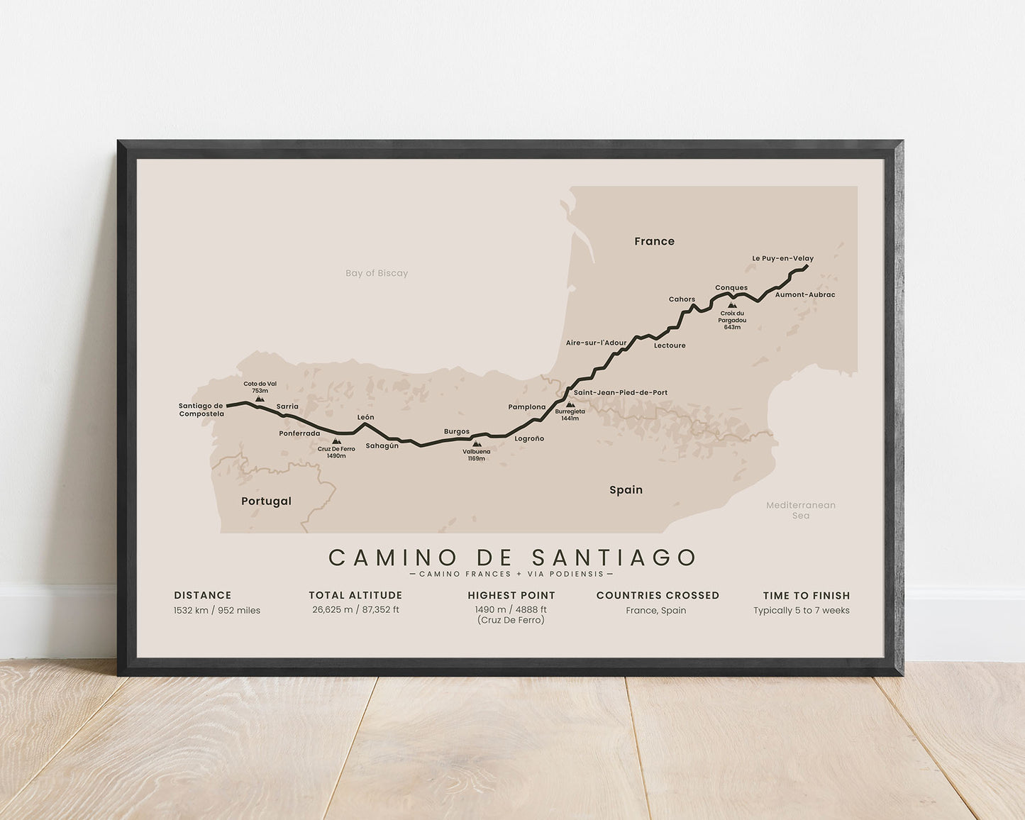
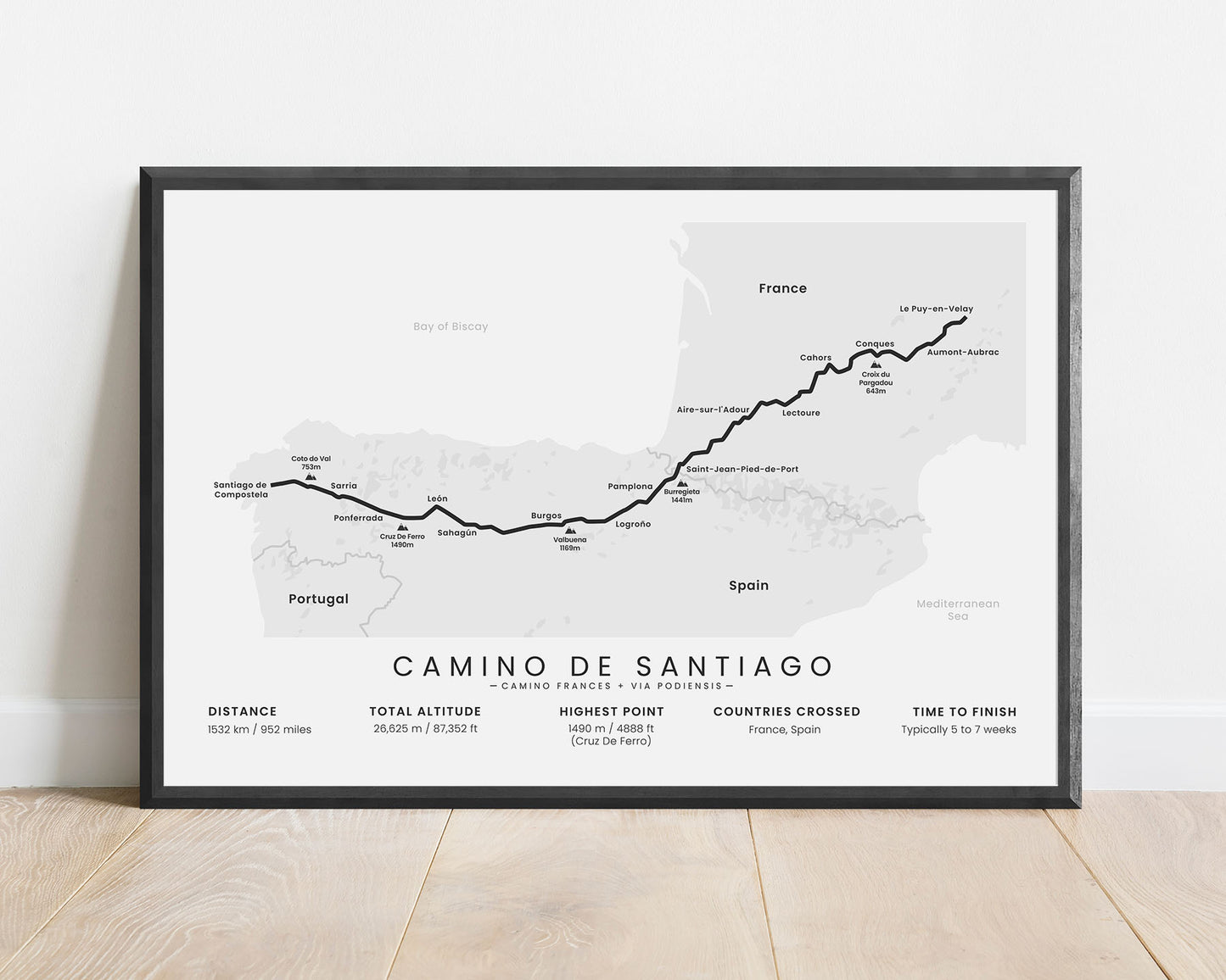
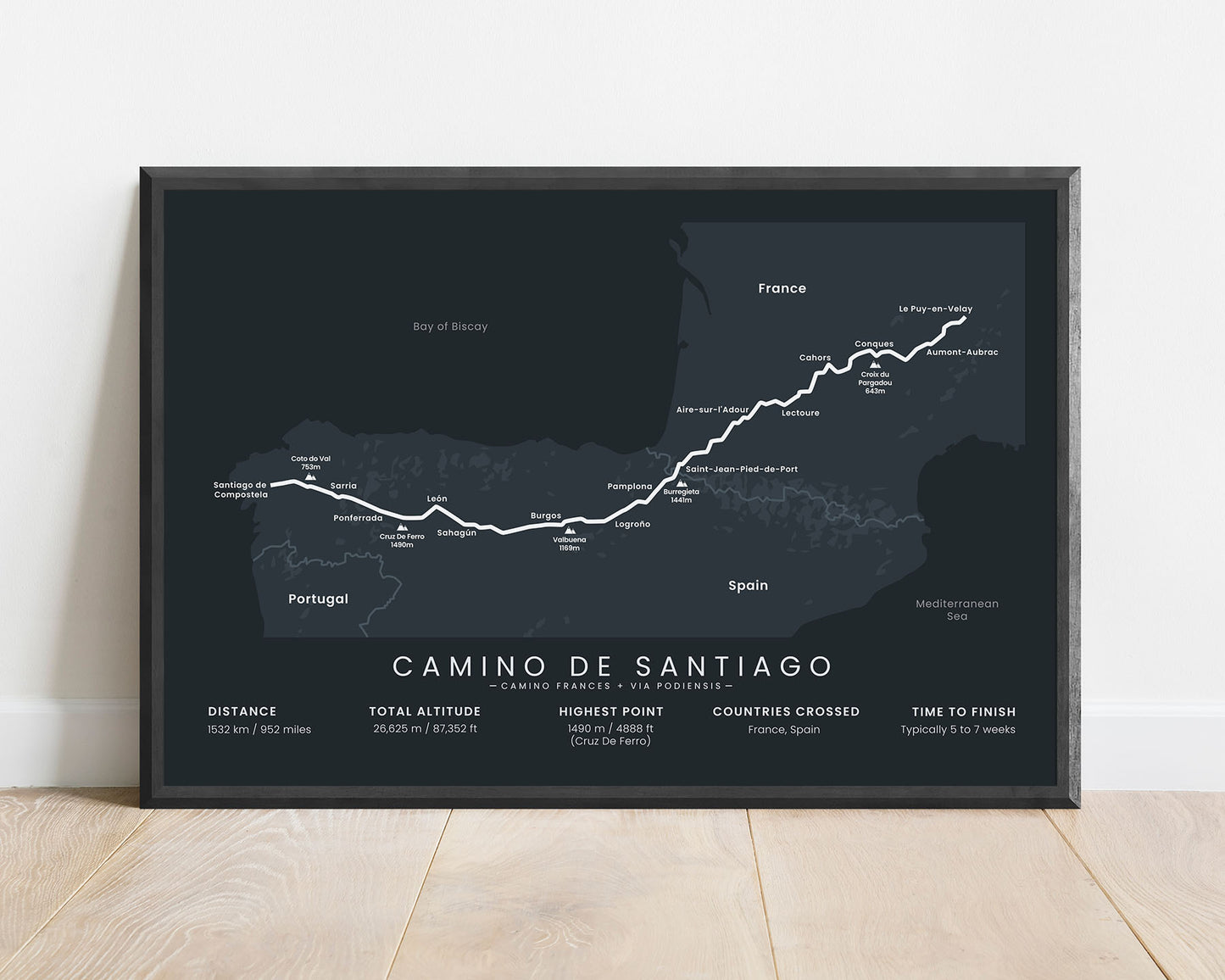
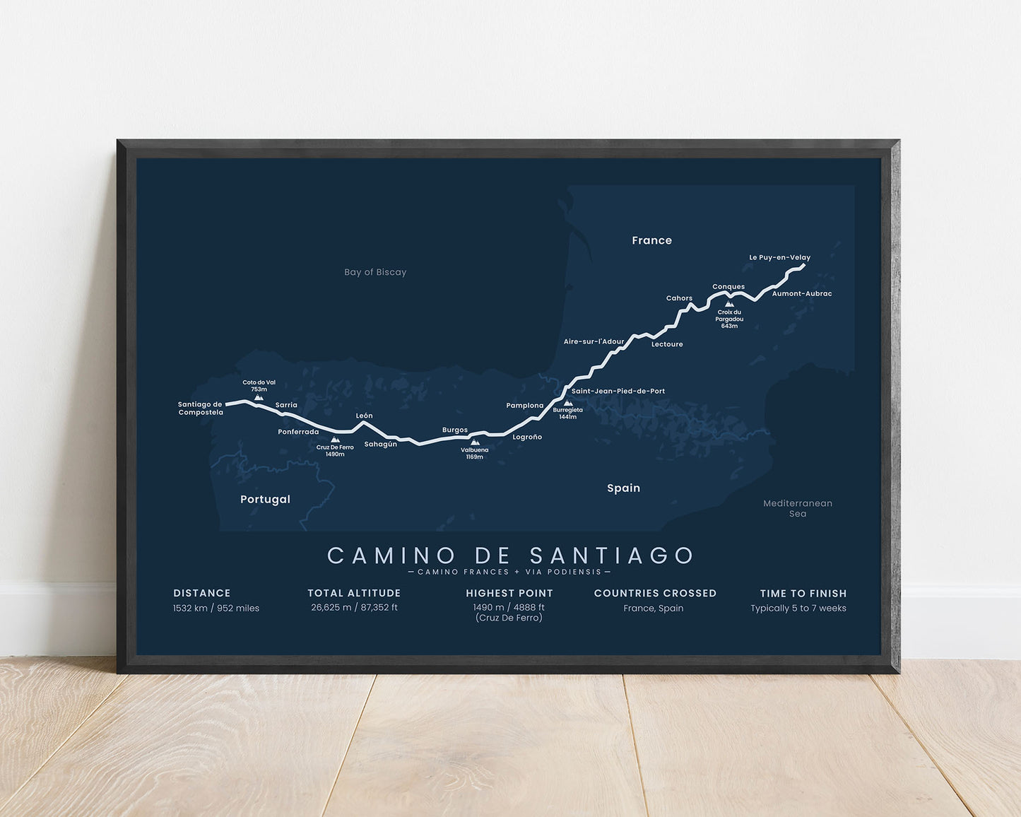
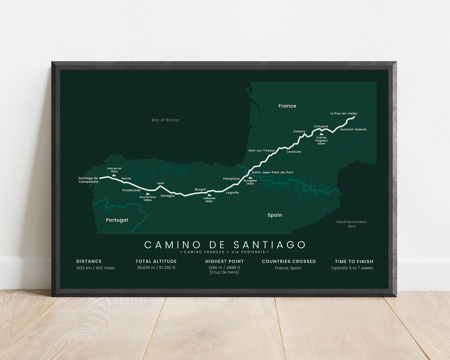
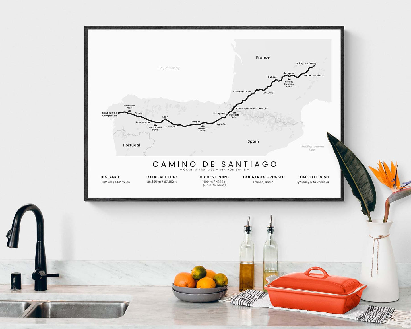
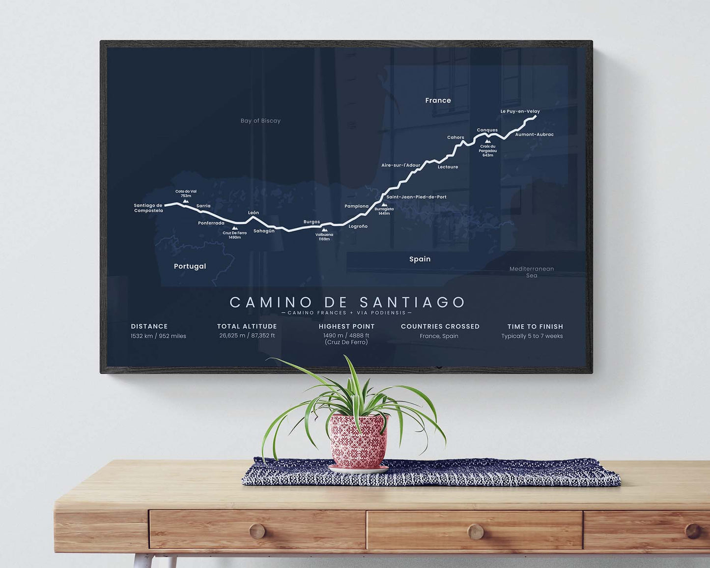

A poster that displays the map of the Via Podiensis + Camino Frances variation of the Camino de Santiago Trail. It includes the full routes of both trails, important cities and mountain peaks along the way, and statistics about the trail, like the total distance, elevation gain, and more. This print is offered in multiple different color options and different sizes, so you can choose one that best fits your interior.
About the Via Podiensis + Camino Frances Pilgrimage
The Camino Frances (other called the "French Way") and Via Podiensis (other called "Way of Le Puy", "Le Puy Route", or "GR65") routes of the Camino de Santiago (other called the "Way of Saint James") pilgrimage is often completed together, especially by the French, since a large portion of it also goes through France, not just Spain. In this poster, we've displayed a combination of both of these routes, which starts in Le Puy en Velay and ends at Santiago de Compostela. This route is a perfect option if the most popular route, the Camino Frances, seems too short for you, and you also want to experience French culture. This variation is so popular because it includes spectacular scenery of the Pyrenees, calm views over the French and Spanish countryside, and lots of culture from all the small towns and villages along the way.
Important: There are multiple Camino de Santiago Routes. So if you're buying this print as a gift, make sure that you're buying the correct one! You'll find a list of all the routes that we've covered over here.
Statistics About the Via Podiensis + Camino Frances Hiking Trail
- Start point: Le Puy En Velay, France
- End point: Santiago de Compostela, Spain
- Total distance: 952 miles / 1532 km
- Total altitude gain/loss: 87 352 ft / 26 625 m
- Highest point: 4888 ft / 1490 m (Cruz De Ferro)
- Countries crossed: France, Spain
- Time to finish: Usually 5-8 weeks
- Best time to hike: May - October


