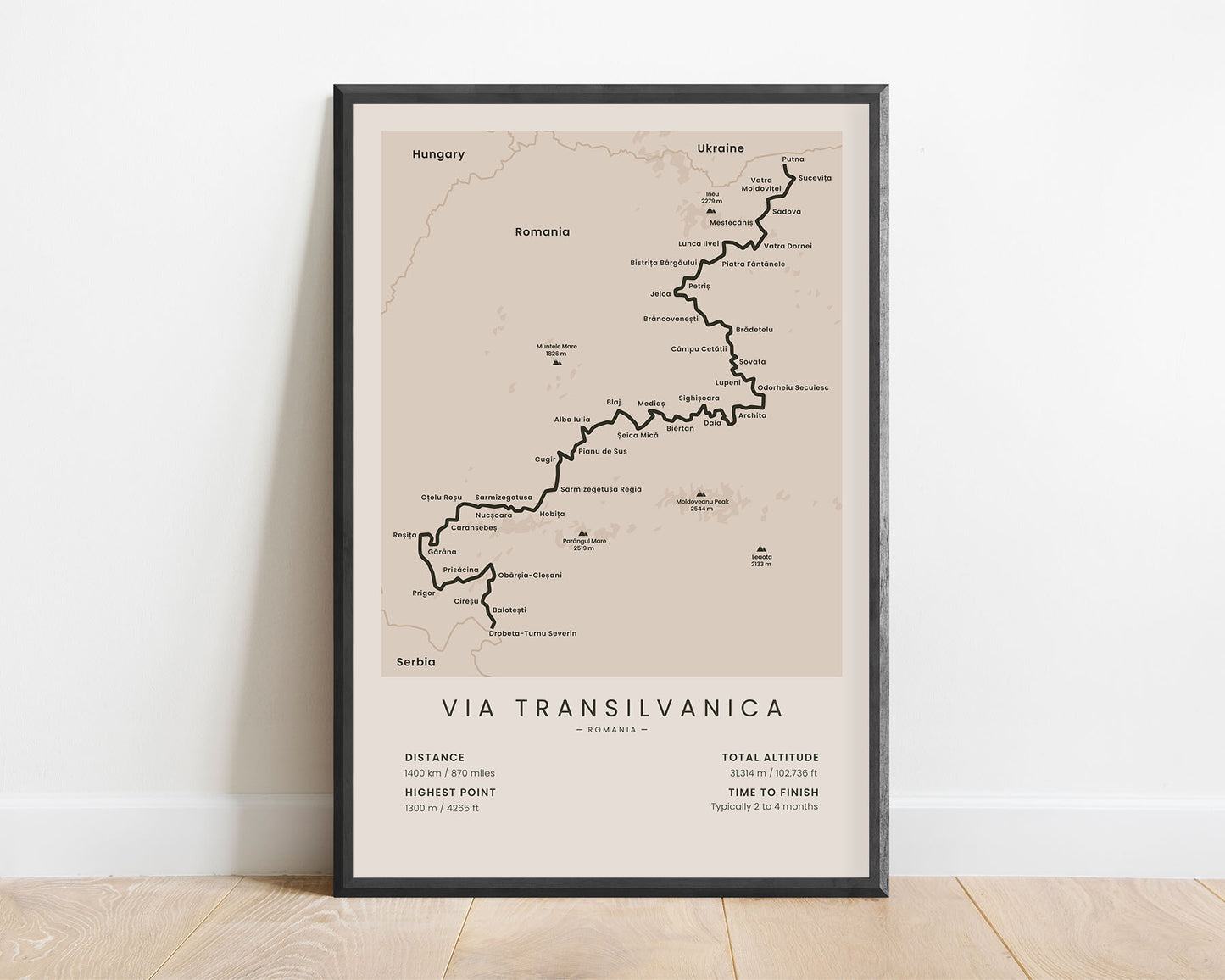
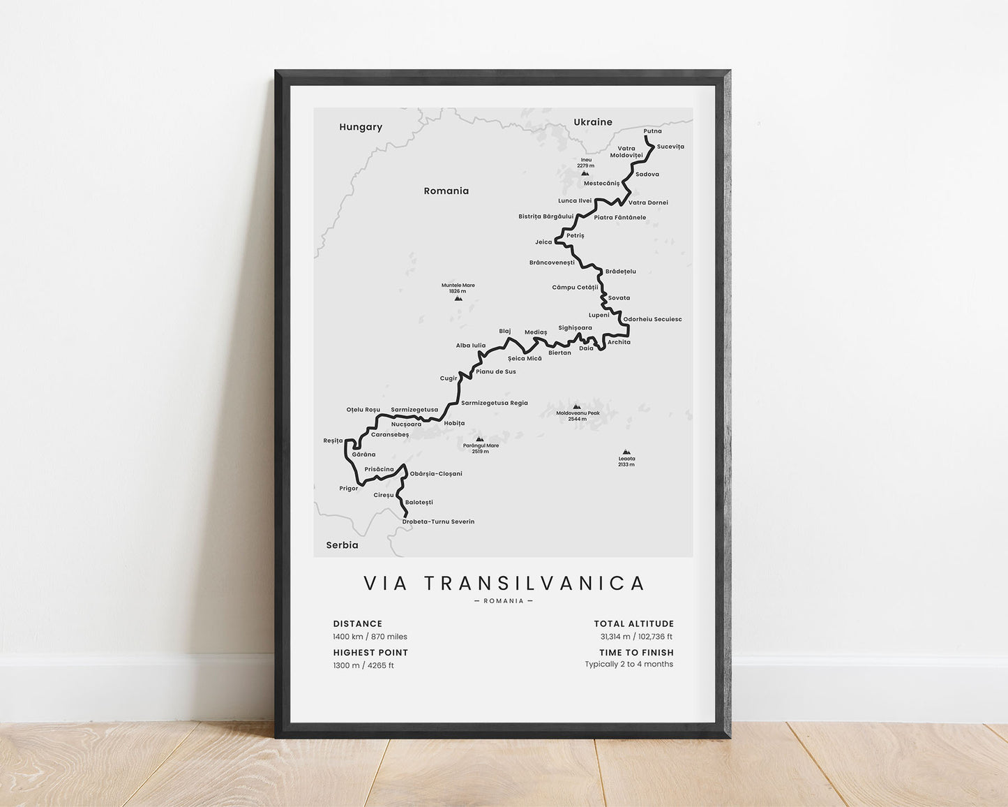
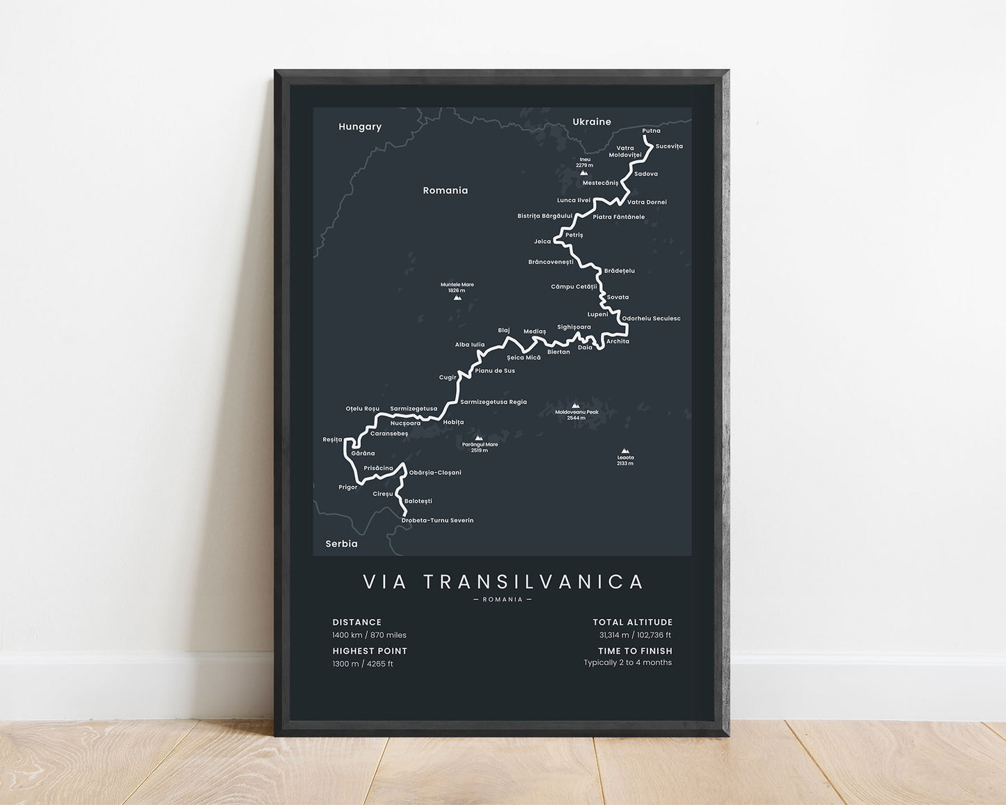
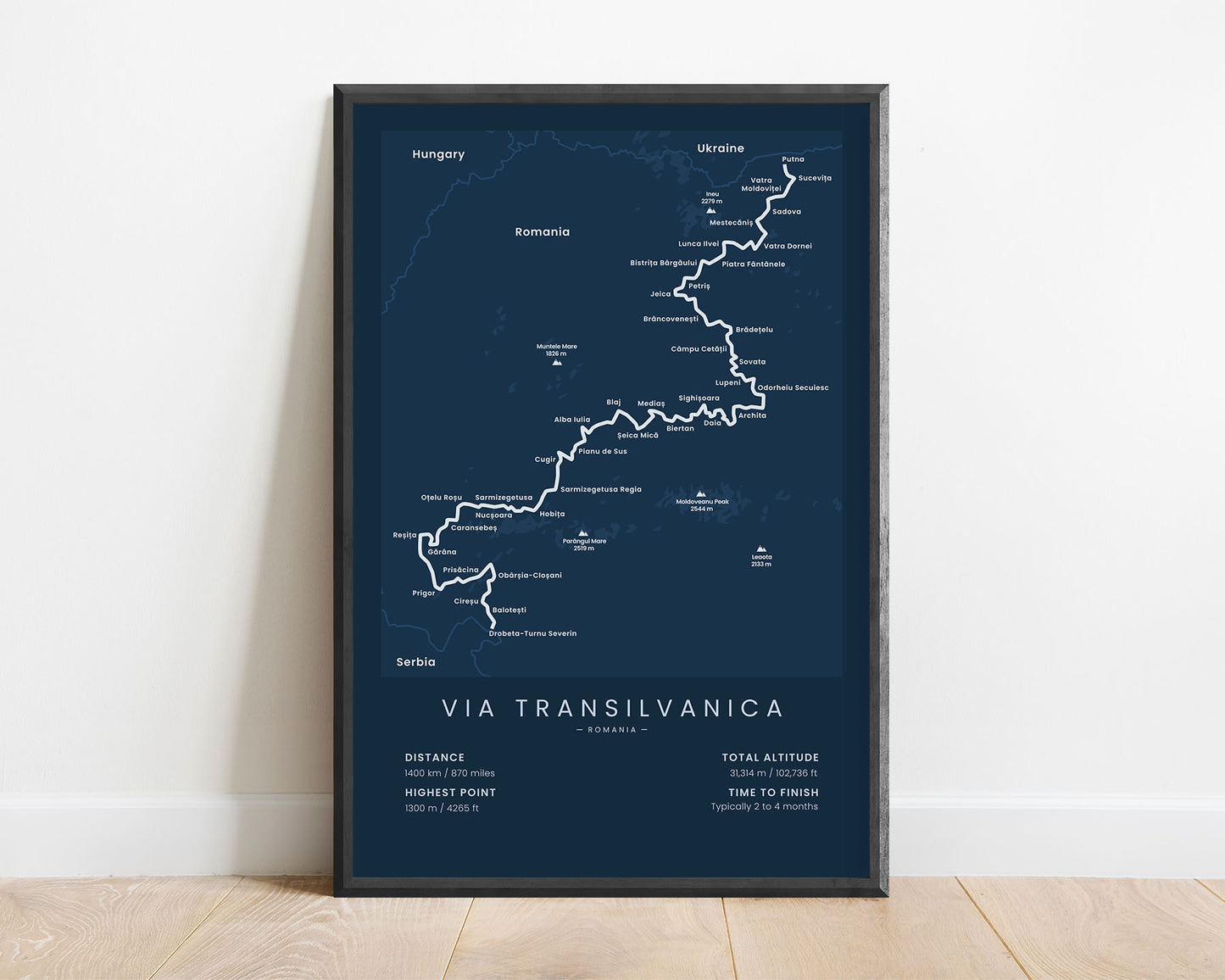


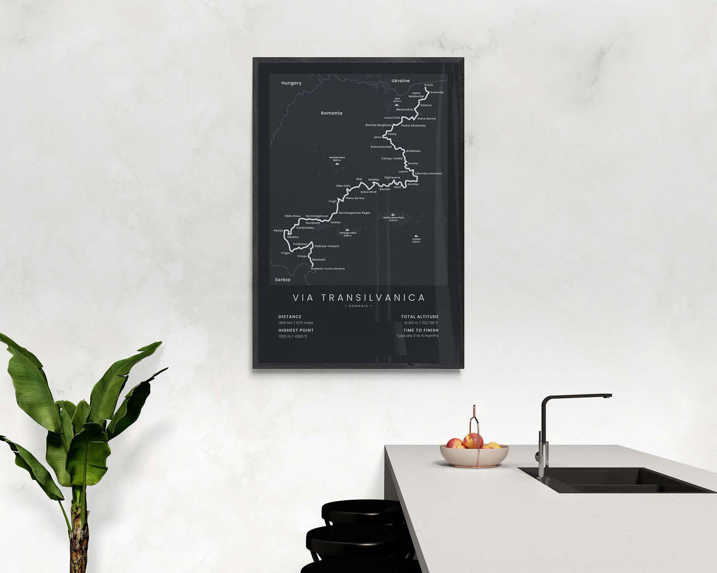

A minimalistic map of the Via Transilvanica long-distance hiking trail, which shows the full route of the trail, the highest mountains along the way (Parangul Mare, Moldoveanu Peak, Ineu, and others), a rough topographical elevation map of the area, the largest cities, and important statistics about the trail at the bottom. If you’re hiking the Via Transilvanica in sections, then this poster will be a great way to keep you on track with your goal.
About The Via Transilvanica
The Via Transilvanica is a new long-distance trail that crosses the whole of Romania from Putna (near the Ukraine border) to Drobeta-Turnu Severin (near the Serbia border). Via Transilvanica still isn't fully finished, but right now, about 3/4 of the total trail has been finished and opened to the public. It's a really great hike if you're looking for a long-distance hike in a very remote area because Romania has vast amounts of untouched wilderness. That's why it's considered a fairly difficult trail, especially if you'll be hiking alone, due to many shepherd dogs, bears, and other wild animals.
Statistics About the Via Transilvanica Hiking Trail
- Start point: Putna, Romania
- End point: Drobeta-Turnu Severin, Romania
- Total distance: 1400 km / 870 miles
- Total altitude gain/loss: 31 314 m / 102 736 ft
- Highest point: 1300 m / 4265 ft
- Time to finish: Typically 2 to 4 months


