


A topographic print of the West Highland Way Long Distance Hiking Trail in Scotland. It shows an elevation contour map of the hike and an elevation profile of it at the bottom. It also features some meaningful points of interest along the way.
About the West Highland Way
The West Highland Way is one of Scotland’s most beloved long-distance trails and a classic of UK hiking. Stretching from Milngavie, just outside Glasgow, to Fort William, it was one of the first officially designated long-distance footpaths in the United Kingdom. The route showcases the best of the Scottish Highlands, leading walkers past serene lochs, rushing rivers, open moorlands, and dense woodlands. Highlights include the shores of Loch Lomond, the vast expanse of Rannoch Moor, and the dramatic approach to Ben Nevis - the highest mountain in the UK. Typically completed in 5-8 days, the trail offers a mix of rugged scenery, rich history, and well-established facilities, making it a rewarding adventure for both seasoned trekkers and first-time long-distance hikers.
Statistics About the West Highland Trail
- Start point: Milngavie, Scotland
- End point: Fort William, Scotland
- Total distance: 96 miles / 154 km
- Total altitude gain/loss: 10,500 ft / 3200 m
- Highest point: 1804 ft / 550 m (Devil's staircase)
-
Time to finish: Typically 6 to 8 days

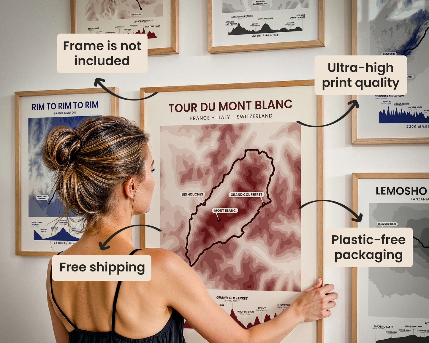
High Quality Matte Prints
Our posters are manufactured using ultra high definition printers with very rich and vivid colors. They're printed on thick, 189 g/m² matte paper sourced from Japan.

Plastic-Free Packaging
Our prints are shipped in cardboard triangles instead of typical tubes. This is better for the enviroment, because no plastic is used in the packaging.

The Right Size & Color for You
Our sizes are offered in imperical and metrical measurements, so it's easier for you to find the right frame locally.

Free Shipping With 2+ Posters
Save money by adding another poster to your cart (maybe as a gift for one of your friends or close relative), and get free shipping, even on international orders.

No Import Fees*
We have fulfillment locations in the United States, Canada, the United Kingdom, Spain, and Latvia. They're always manufactured from the closest one to your shipping address, so you can avoid paying import tax, get quicker deliveries, and reduce your carbon footprint.

30-day Satisfaction Guarantee
If, for whatever reason, you change your mind, we accept returns within 30 days of the delivery date.