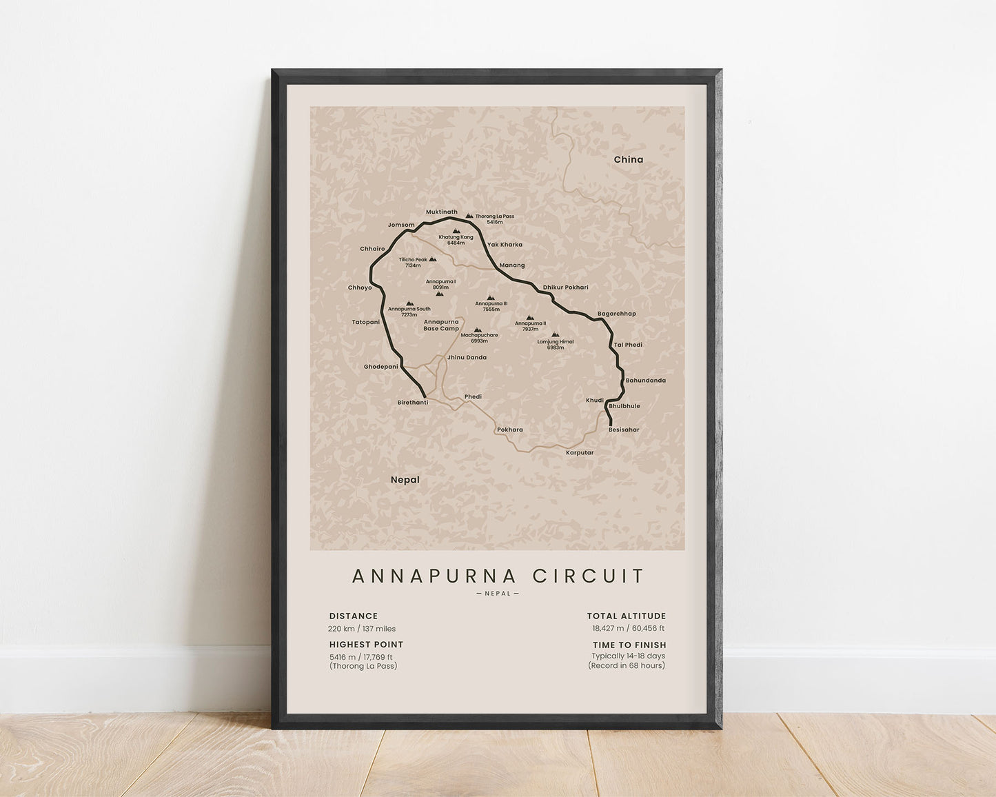
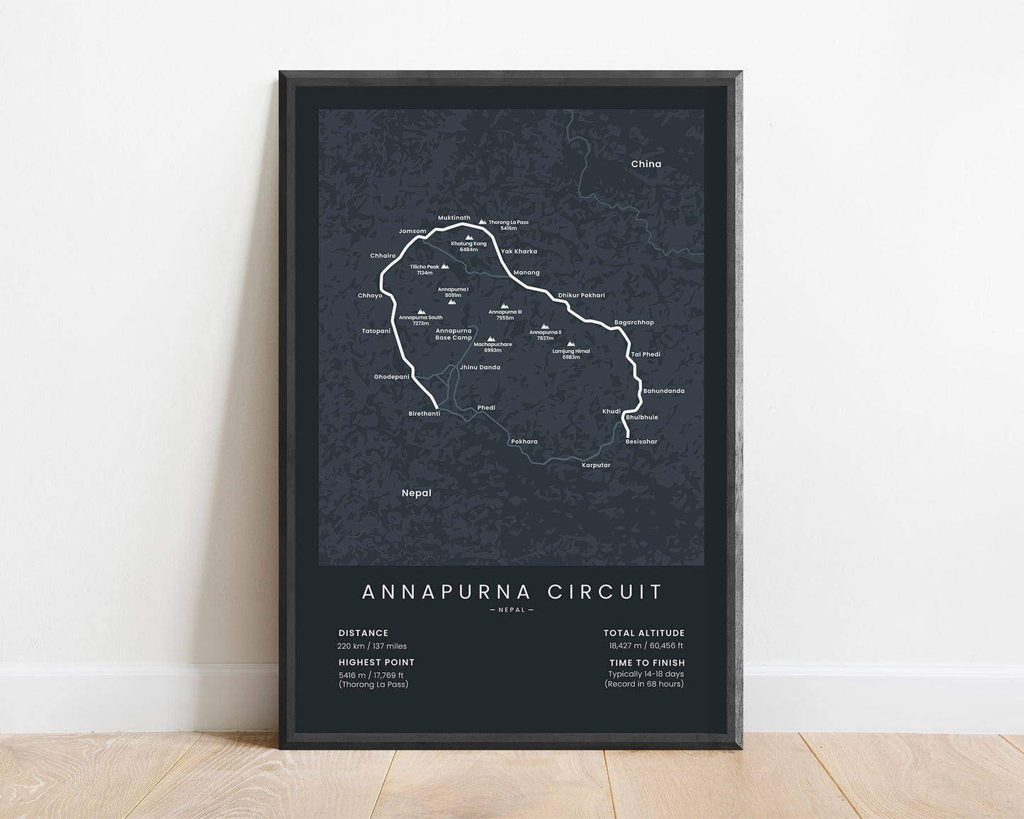
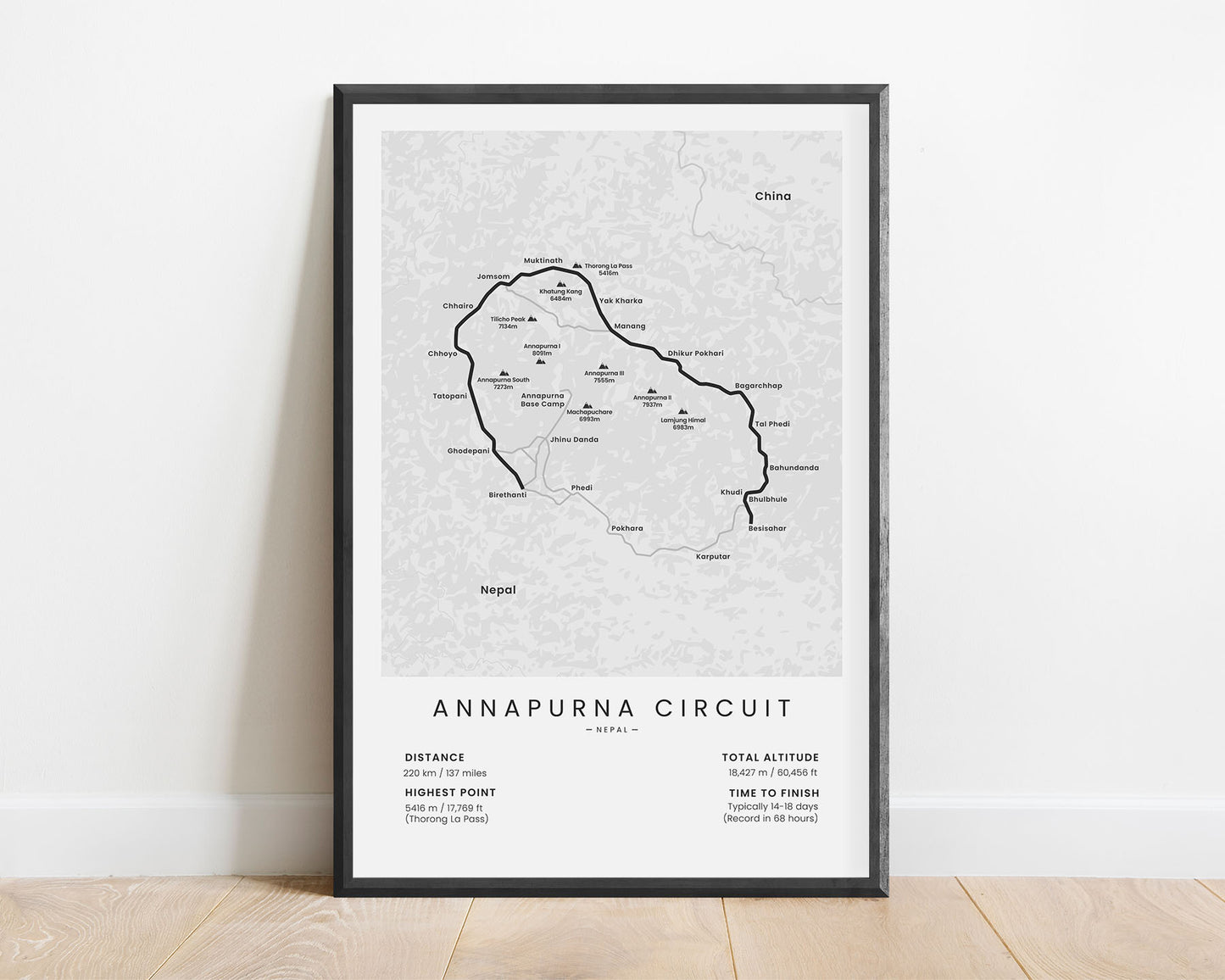
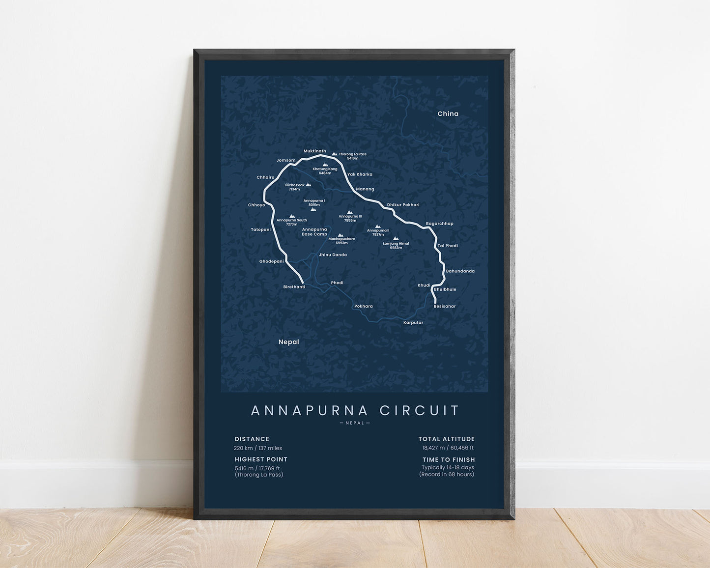
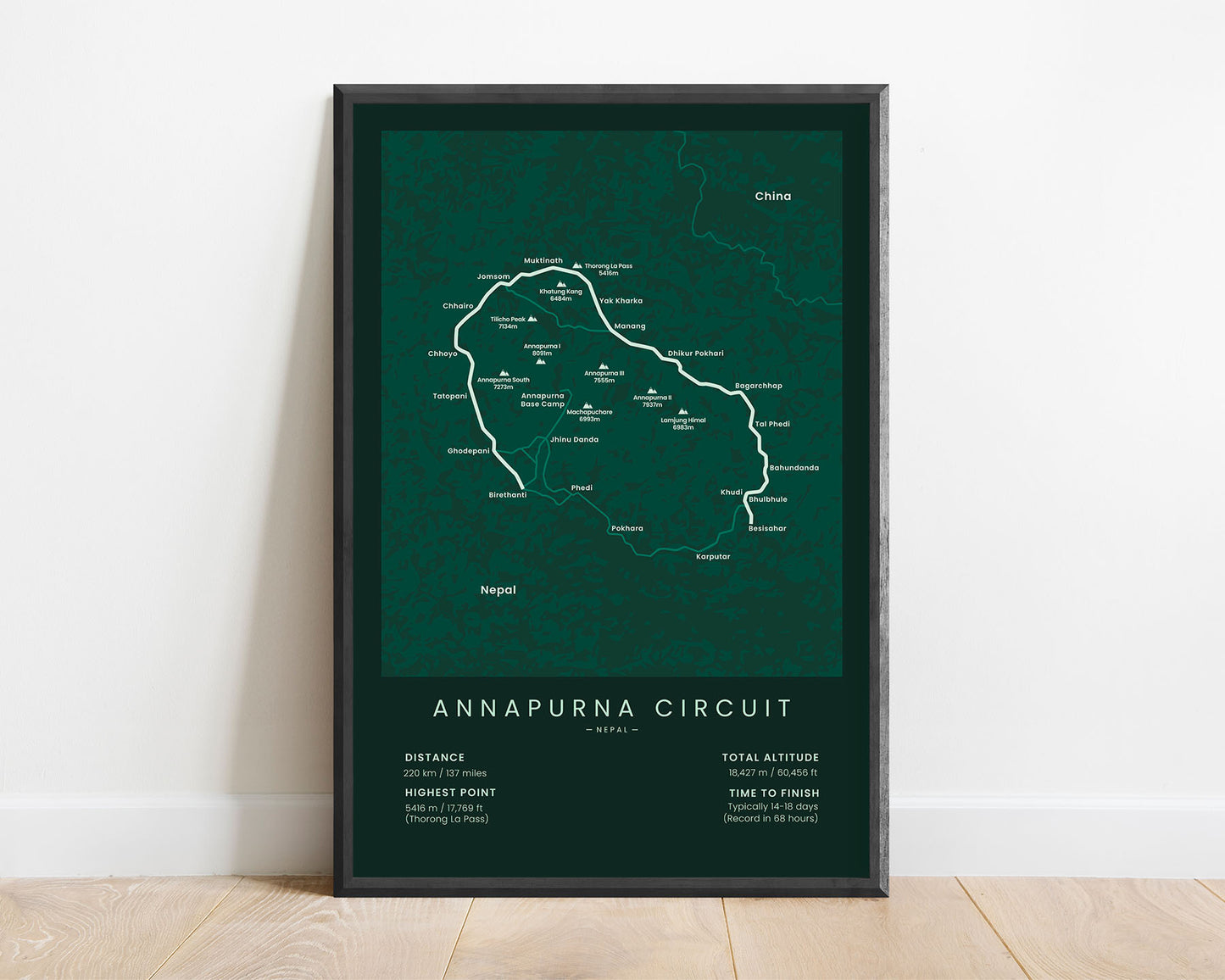
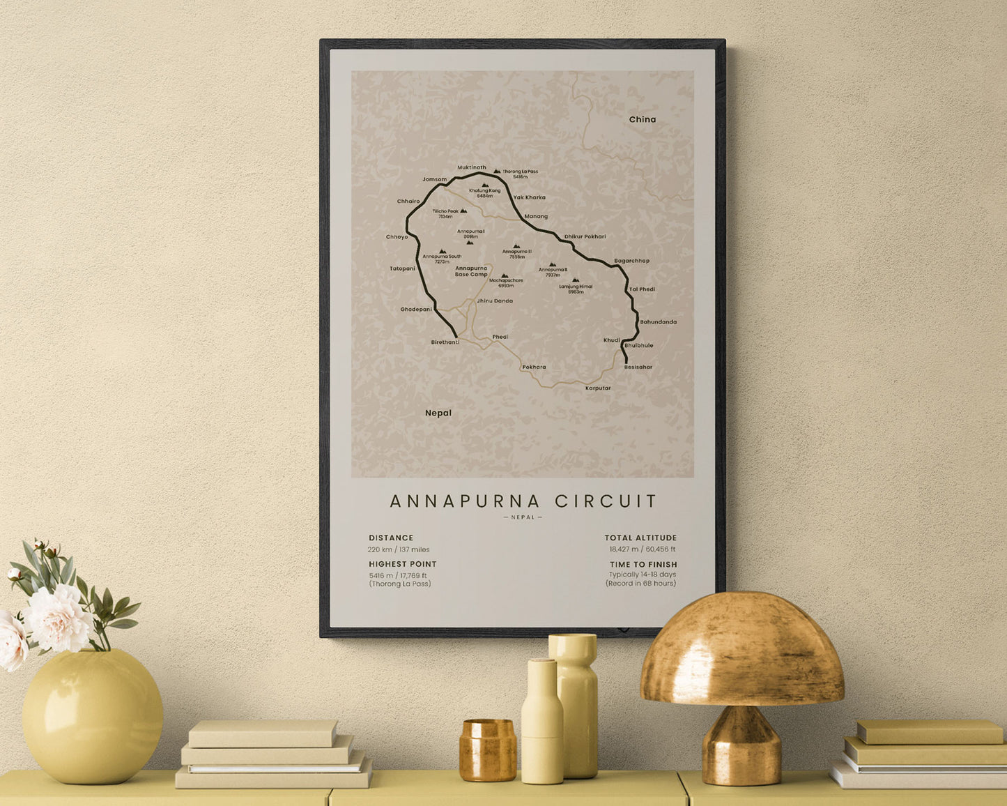
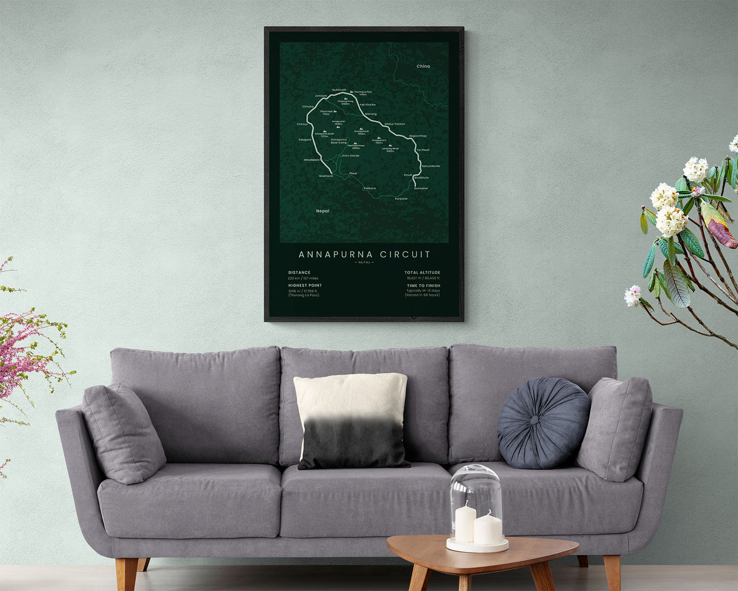

A minimalist print of the Annapurna Circuit Trek. It displays the full map of the route, important peaks in the Himalayas, villages, and the main statistics about the trail. It’s offered in 5 different colors and sizes to fit most interiors. If you have finished or you want to finish the Annapurna Circuit Trek, then this poser will be a great way to showcase your goals.
About the Annapurna Circuit Trek
The Annapurna Circuit Trek is one of the most popular trekking destinations in the world. It's located in Central Nepal and essentially walks around the Annapurna Massif. The trail starts at Besisahar (or nearby villages, depending on how much you want to hike), and goes up to 220 km through the Himalayas, finally ending at Birethanti. The Annapurna Circuit Trek is so popular, because it takes you through some breathtaking scenery of the Himalayas, including the highest mountain pass in the world, the Torong La Pass, located at 5416 m altitude. Some hikers also choose to continue the trek by also doing the Annapurna Base Camp Trek. Another popular hike in the area is the Everest Base Camp Trek, and the Annapurna Circuit is essentially a bit less popular and less crowded option.
Statistics About the Annapurna Circuit
- Start point: Besisahar, Nepal
- End point: Birethanti, Nepal
- Total distance: 137 miles / 220 km
- Total altitude gain/loss: 60 456 ft / 18 427 m
- Highest point: 17 769 ft / 5416 m (Thorong La Pass)
- Countries crossed: Nepal
- Time to finish: Usually 14-18 days
- Record finish time: 68 hours
- Best time to hike: October to November or April to May


