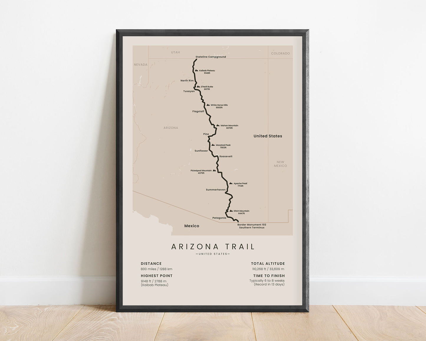
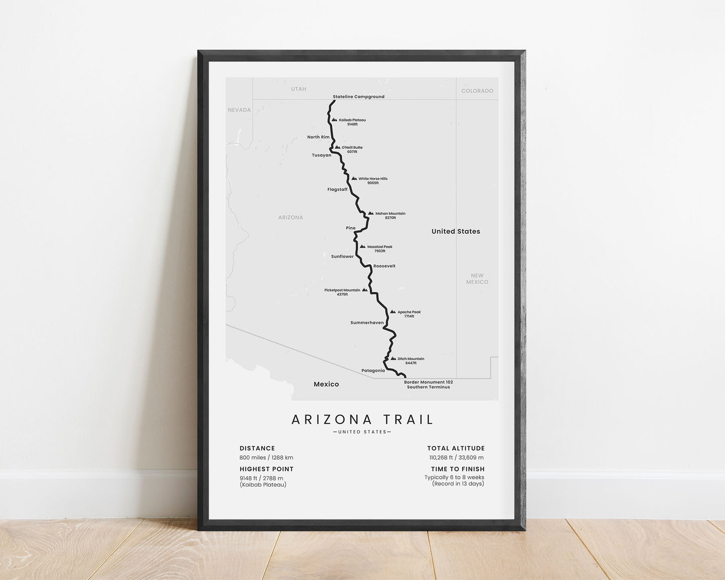
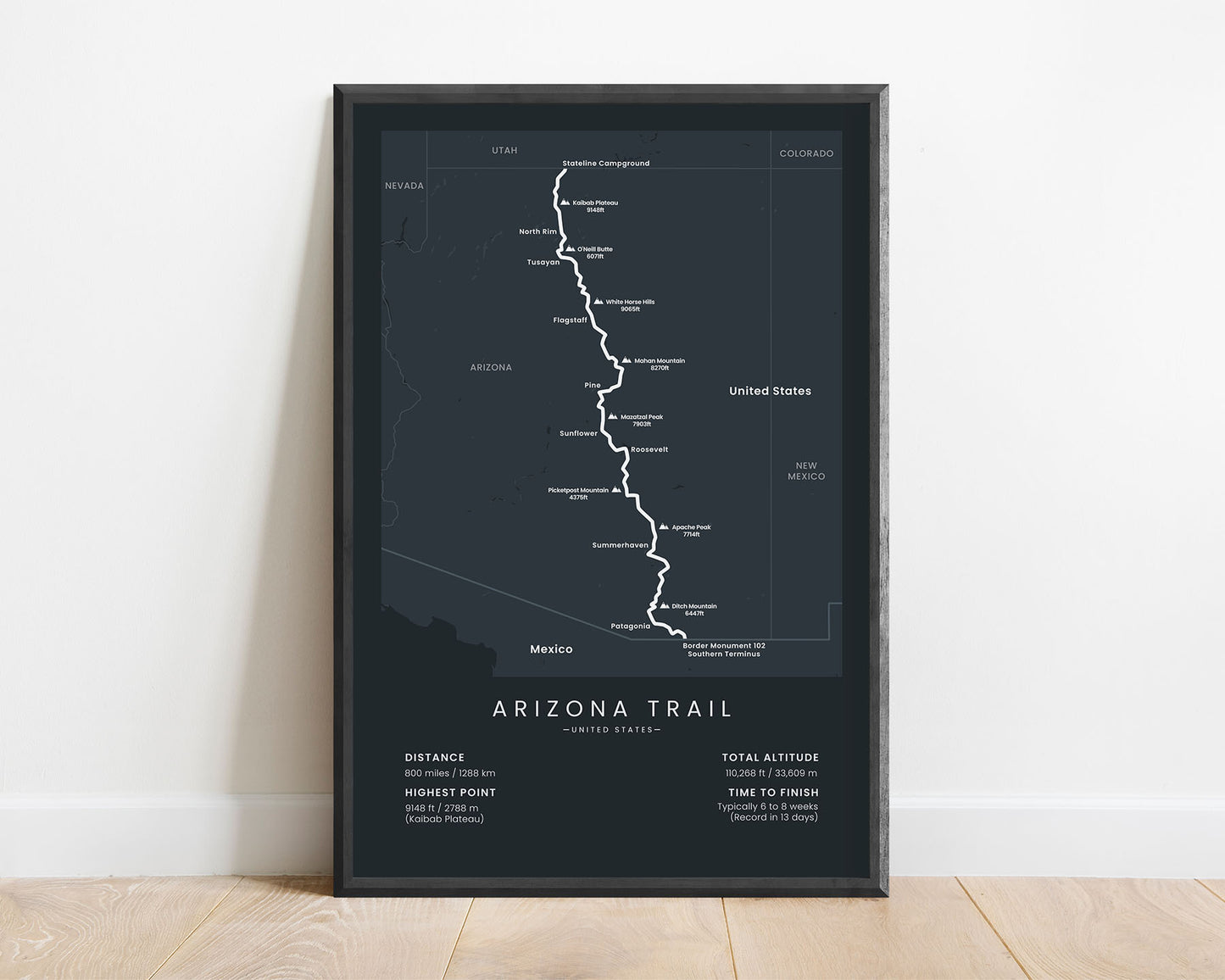
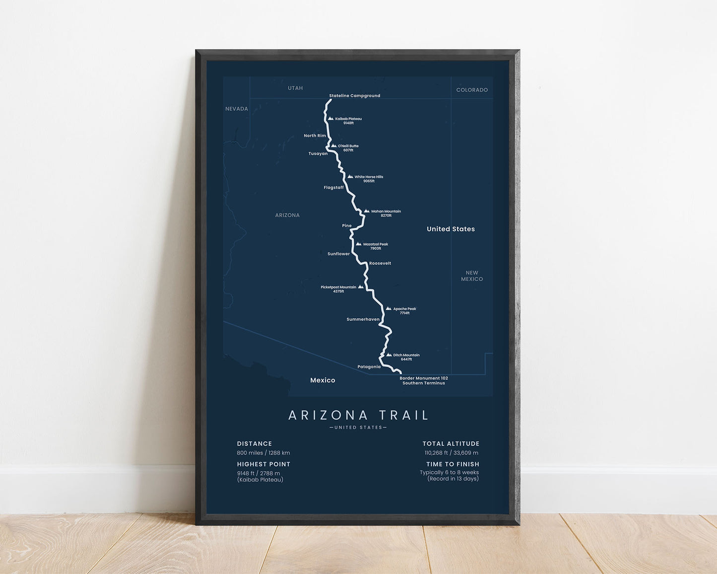
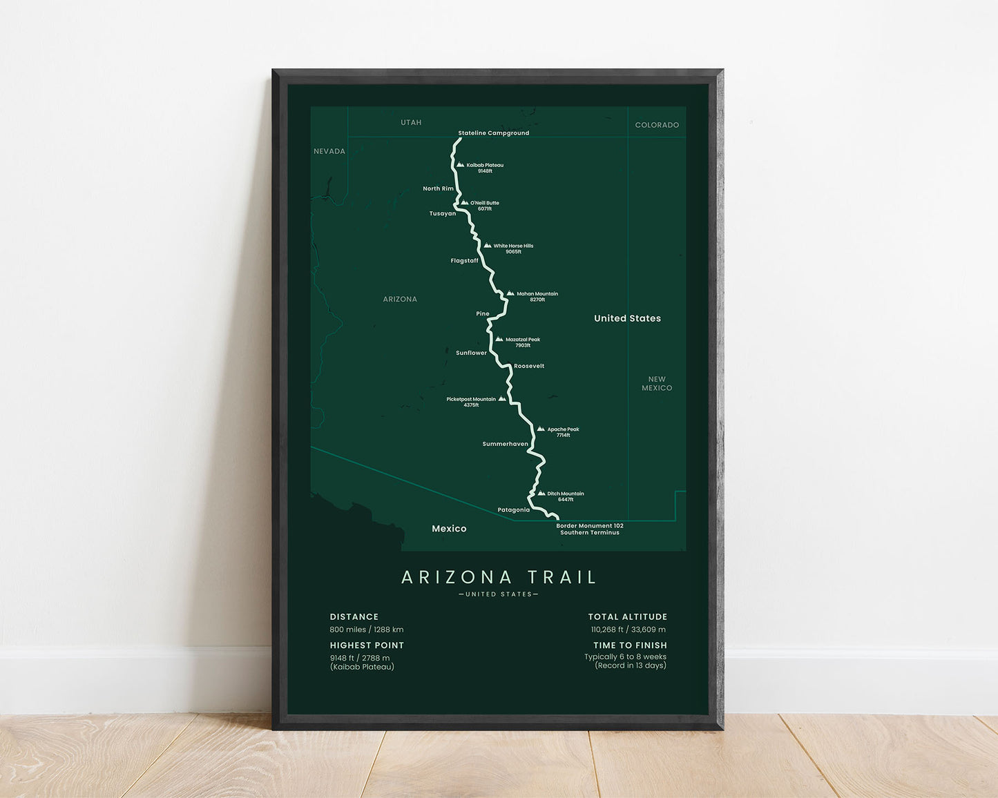


A map that displays the full route of the Arizona National Scenic Trail thru hike. This poster also shows important towns and mountain peaks along the way, surrounding states, and important statistics about the trail, like the total distance, altitude gain, highest point, and more. If you’re hiking the Arizona Trail in sections, then this minimalistic poster will be a great way to keep you on track with your goal.
About the Arizona National Scenic Trail
The Arizona National Scenic Trail (AZT) is a thru-hike that crosses the state of Arizona from the Mexico border to Utah. It starts at Border Monument 102, on the Mexico-US border, then heads 800 miles through Arizona, and finally ends at the Arizona-Utah Stateline campground. This trail is one of 11 National Scenic Trails, mainly because it passes through numerous mountain ranges (Rincon Mountains, Mazatzal Mountains), the Grand Canyon, and the remote parts of Arizona. During this trail, you'll encounter a lot of wildlife, including snakes, and beautiful views of the surrounding mountains and plateaus. It's a reasonably difficult hike due to extreme heat exposure and high elevation gain. The AZT can also be ridden with a bicycle, as some parts of it go through country roads. Near the end of the trail, it also passes close to the Grand Canyon Rim to Rim trail.
Statistics About the Arizona Trail
- Start point: Coronado National Memorial Border Monument 102 Southern Terminus, US-Mexico border
- End Point: Stateline Campground, Arizona-Utah state border
- Total distance: 800 miles / 1288 km
- Total altitude gain/loss: 110 268 ft / 33 609 m
- Highest point: 9148 ft / 2788 m (Kaibab Plateau)
- Time to finish: Usually 6-8 weeks
- States crossed: Arizona
- Best time to hike: September-November or March-May


