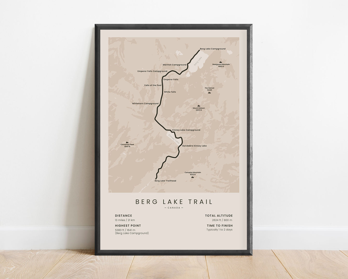
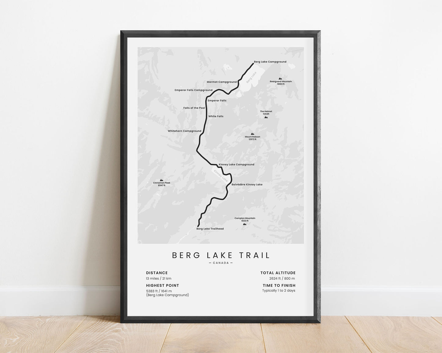
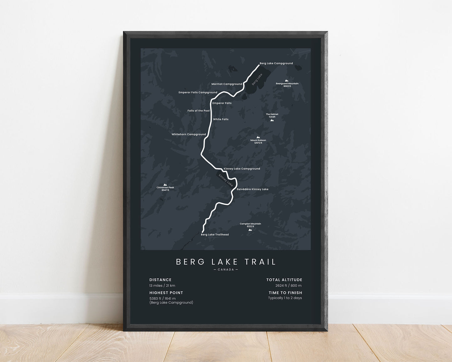
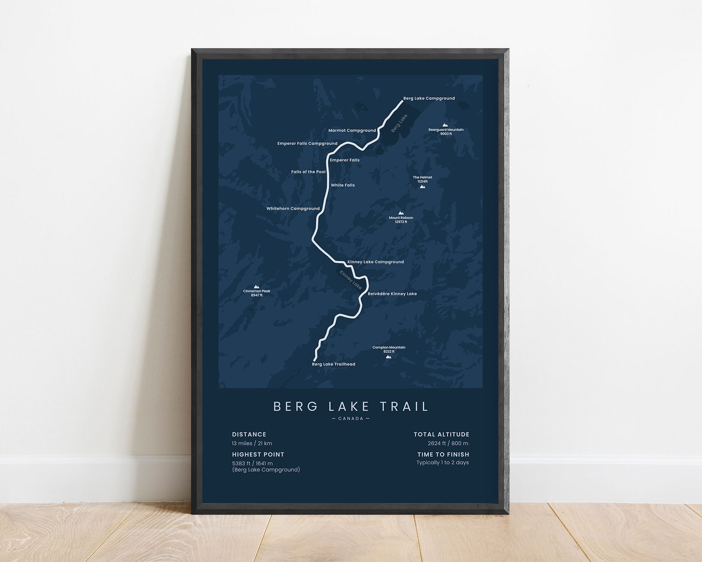
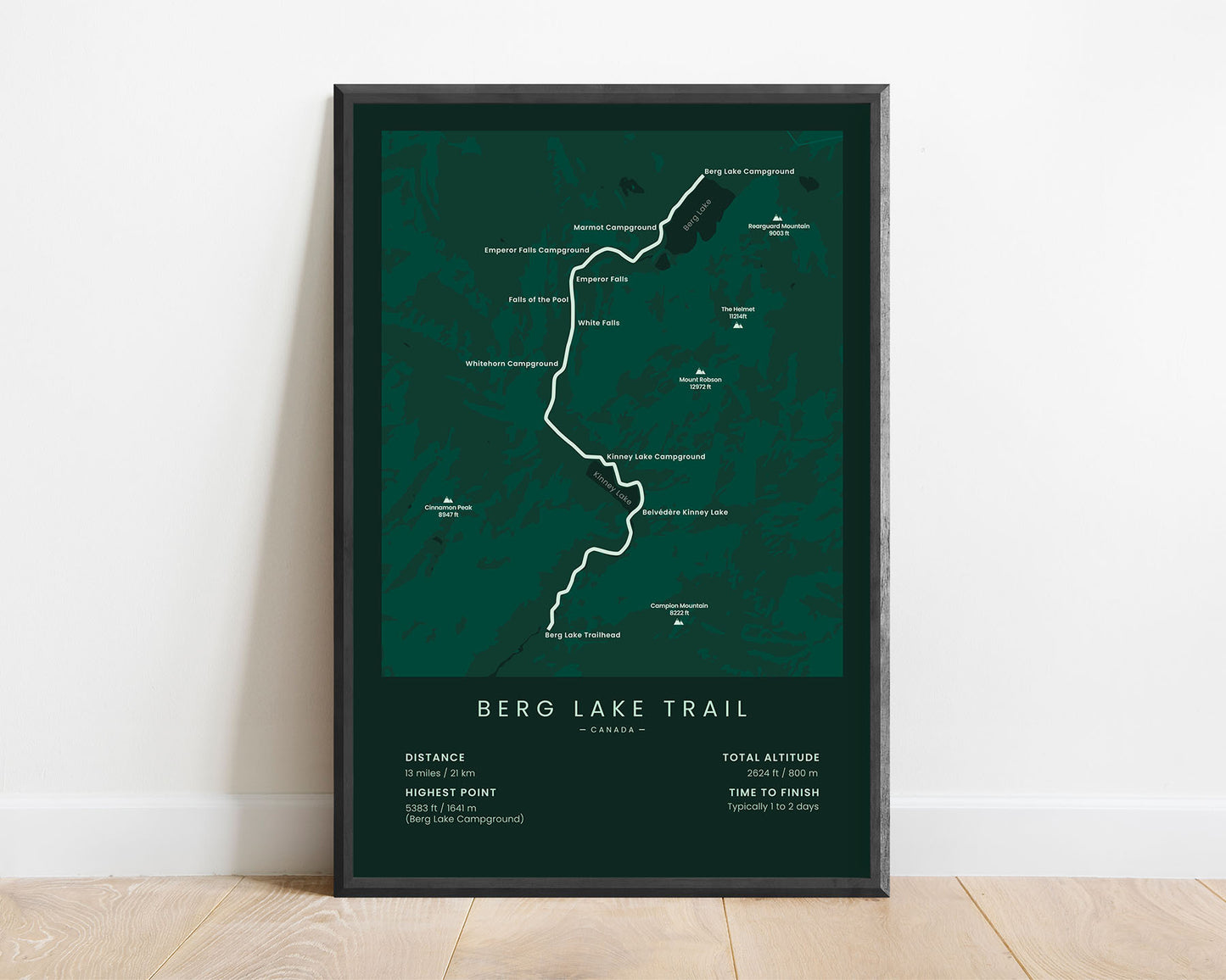
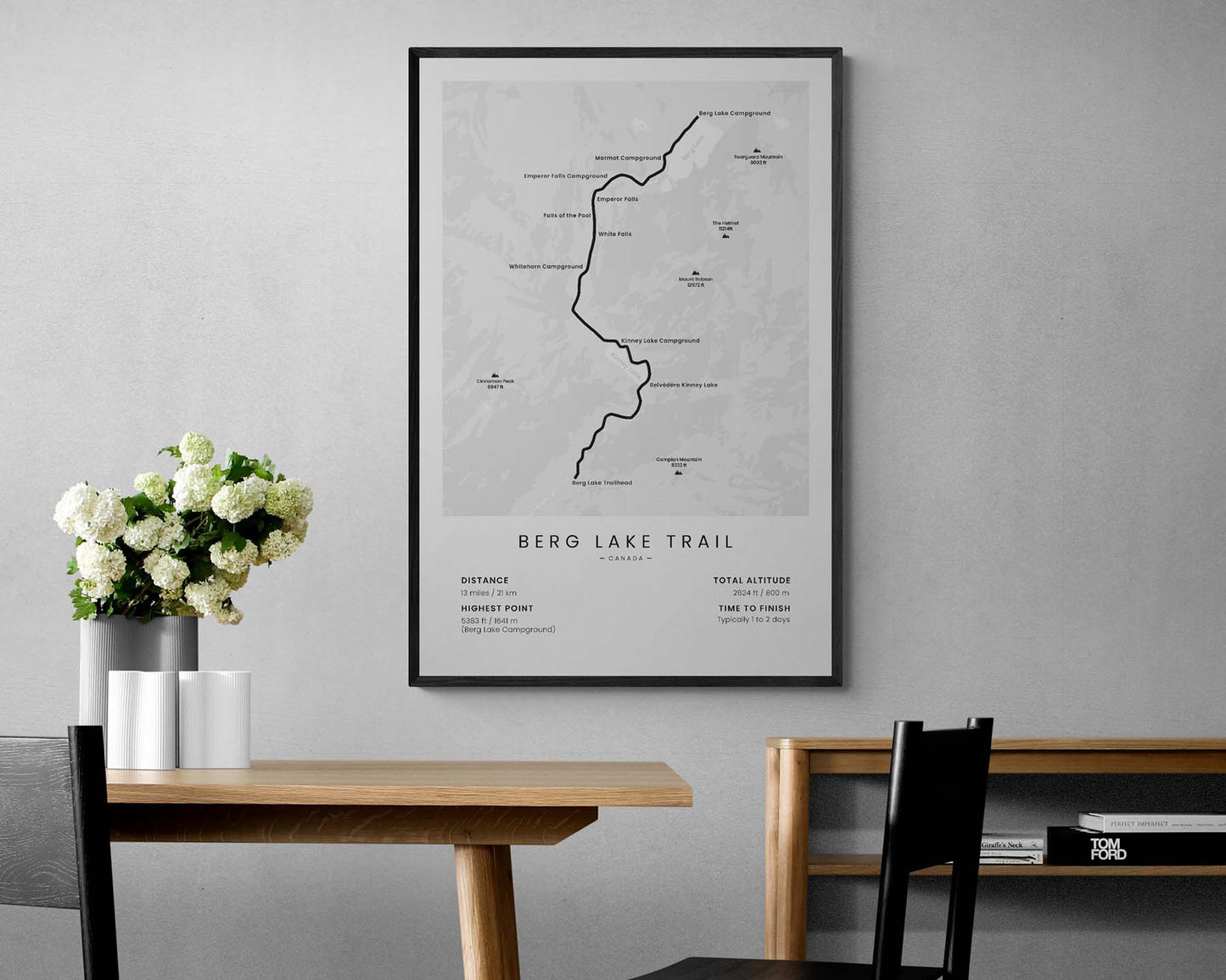
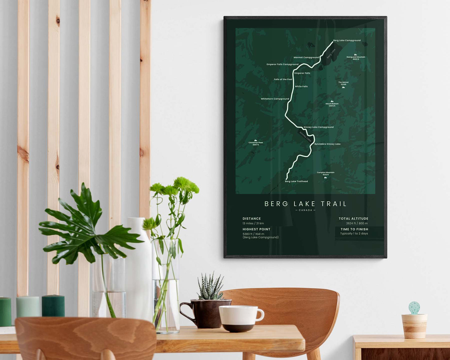

A minimalistic print that shows the map of the entire Berg Lake Trail in Canada. It also shows the main campgrounds along the route, highest peaks, and other points of interest. At the bottom, you’ll also find several important statistics about the trail, like the total distance, total altitude, highest point, and the average time it takes to finish the trail.
About the Berg Lake Trail
The Berg Lake Trail is a popular hiking trail in British Columbia, Canada. Although it can be completed in a single day, most people choose to hike it in two shorter days to get a better experience of Mount Robson Provincial Park. While walking the trail, you'll see incredible views of the Canadian Rockies, see crystal-clear reflections of the mountains over Berg Lake, and encounter plenty of wildlife. Overall, it's considered a fairly easy trail due to its short distance and small elevation gain. Other popular trails in British Columbia include the West Coast Trail and the Great Divide Trail.
Statistics About the Berg Lake Trail
- Start point: Berg Lake Trailhead, British Columbia, Canada
- End point: Berg Lake Campground, British Columbia, Canada
- Total distance: 13 miles / 21 km
- Total altitude gain/loss: 2624 ft / 800 m
- Highest point: 5383 ft / 1641 m (Berg Lake Campground)
- Time to finish: Usually 1 - 2 days
- National Parks: Mount Robson Provincial Park
- Best time to hike: July - September


