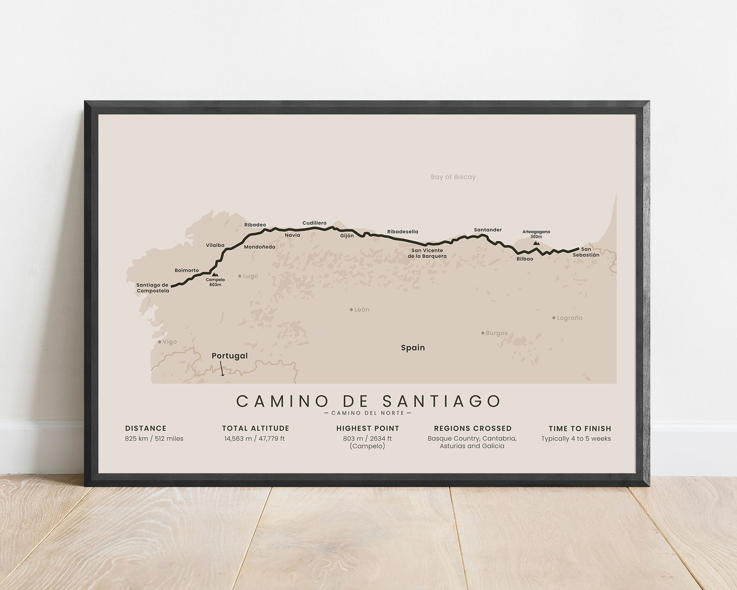
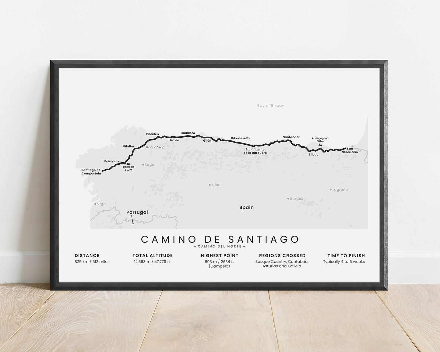
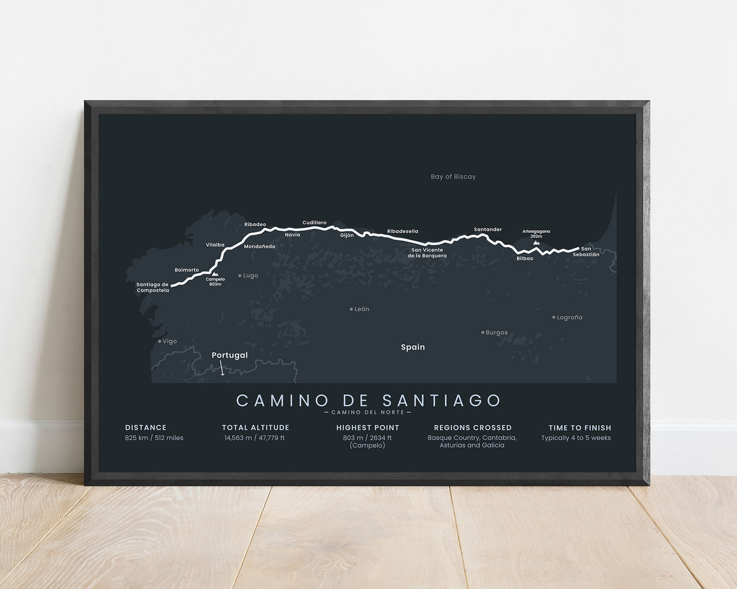
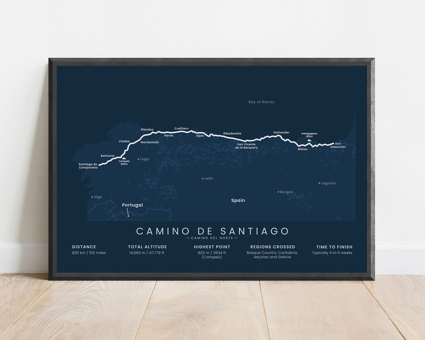
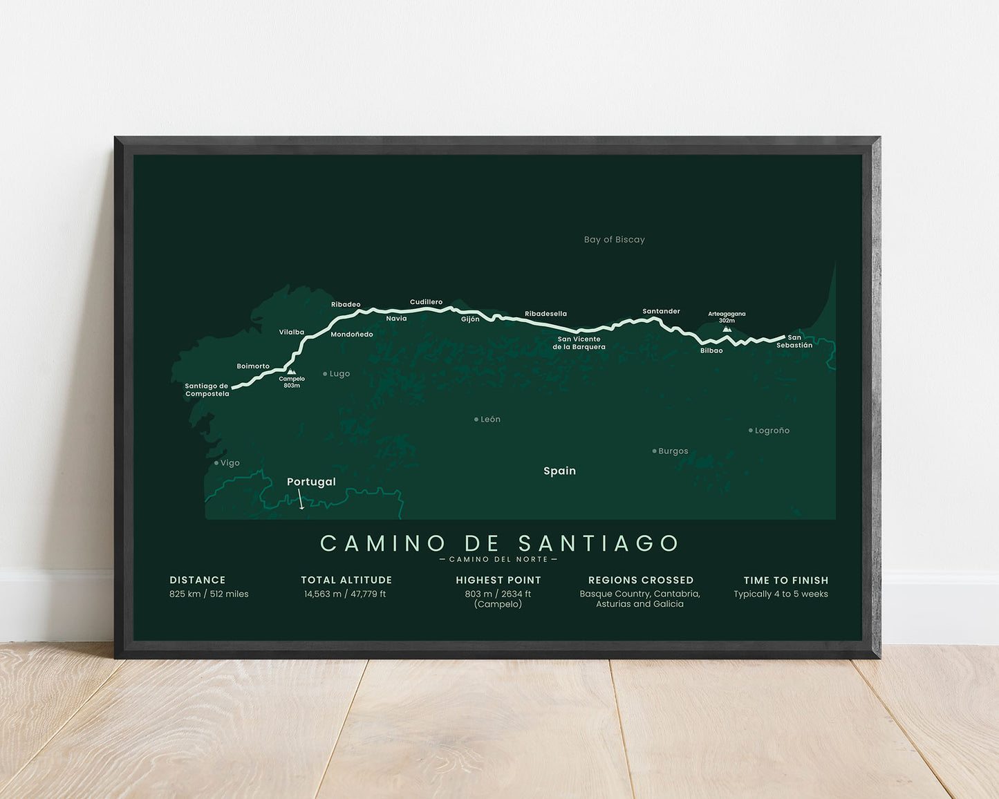
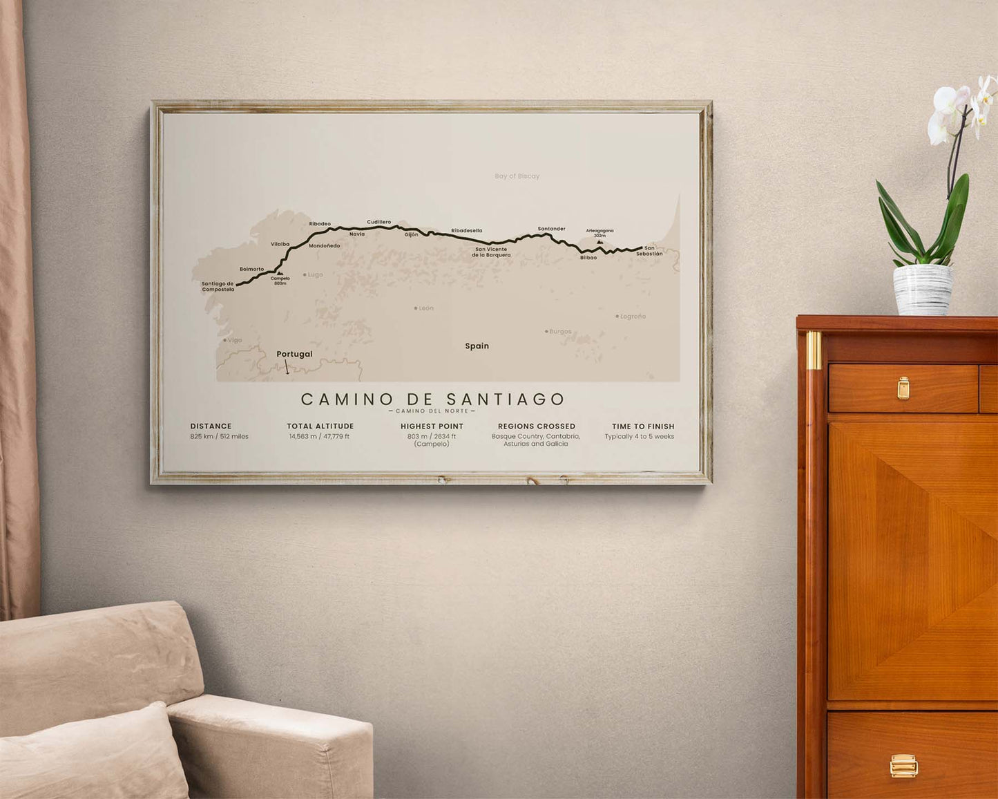
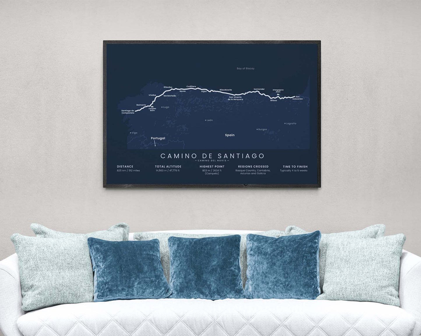

A minimalist map of the Camino del Norte pilgrimage. This print shows the full route of the trail, the main cities along the way, the highest peaks, essential statistics about the trail, and other points of interest. It’s offered in many different color and size options, so that you can choose the right variant for your interior. If you’ve completed the Camino del Norte, then this poster will be a great addition to your home.
About the Camino del Norte Pilgrimage
The Camino del Norte (other called the Northern Way) is a route of the famous pilgrimage Camino de Santiago (other known as the Way of Saint James). It starts at San Sebastian, then goes 825 km along the Northern Spain Coastline, and finally finishes at Santiago de Compostela. This route is preferred by many people because it's easy to traverse during the summer when the weather in North Spain can be a bit cooler than the rest of Spain, and there also are plenty of swimming opportunities along the way. It also isn't too popular, so you'll encounter much fewer people than on the Camino Frances route. A lot of people also choose to do the Camino del Norte only until Oviedo and then do the Camino Primitivo variation because it goes through a slightly more mountainous region.
Important: There are multiple Camino de Santiago Routes. So if you're buying this print as a gift, make sure that you're buying the correct one! You'll find a list of all the routes that we've covered over here.
Statistics About the Camino del Norte Hiking Trail
- Start point: San Sebastian, Spain
- End point: Santiago de Compostela, Spain
- Total distance: 825 km / 512 miles
- Total altitude gain/loss: 14 563 m / 47 779 ft
- Highest point: 803 m / 2634 ft (Campelo)
- Countries crossed: Spain
- Regions crossed: Basque country, Cantabria, Asturias, Galicia
- Time to finish: Usually 4-5 weeks
- Best time to hike: June - September


