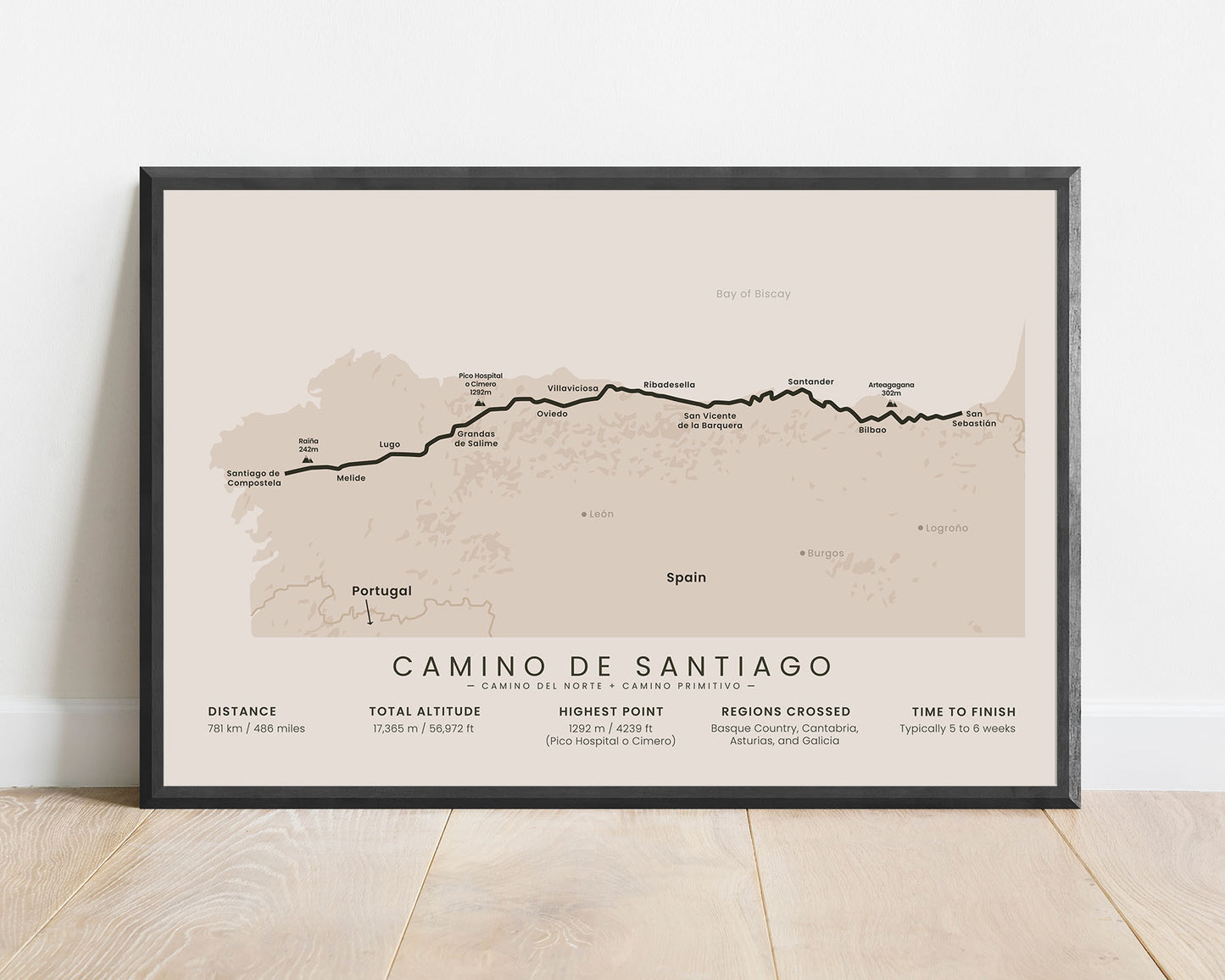
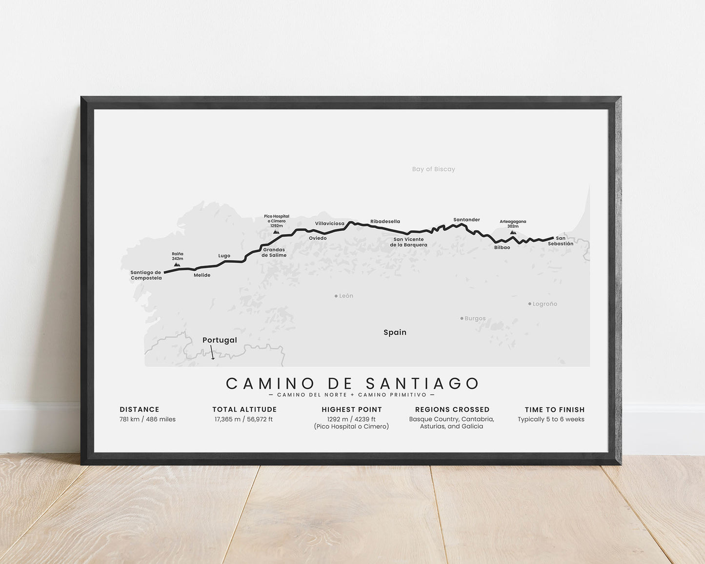
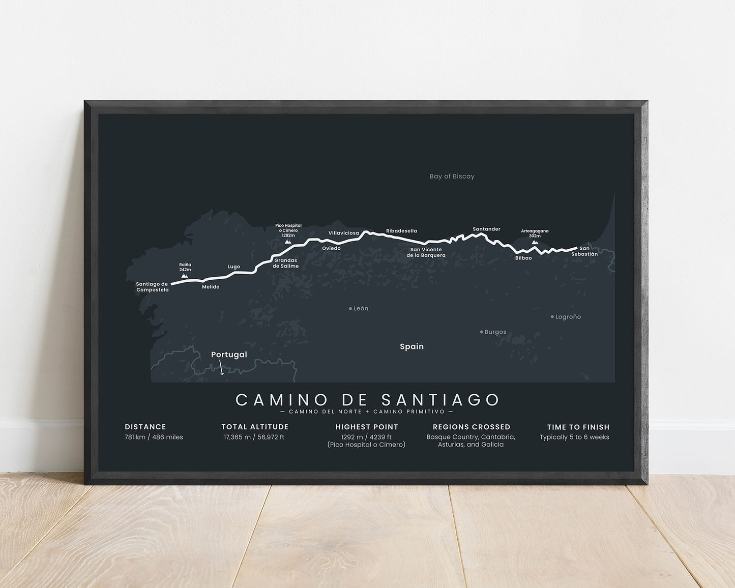
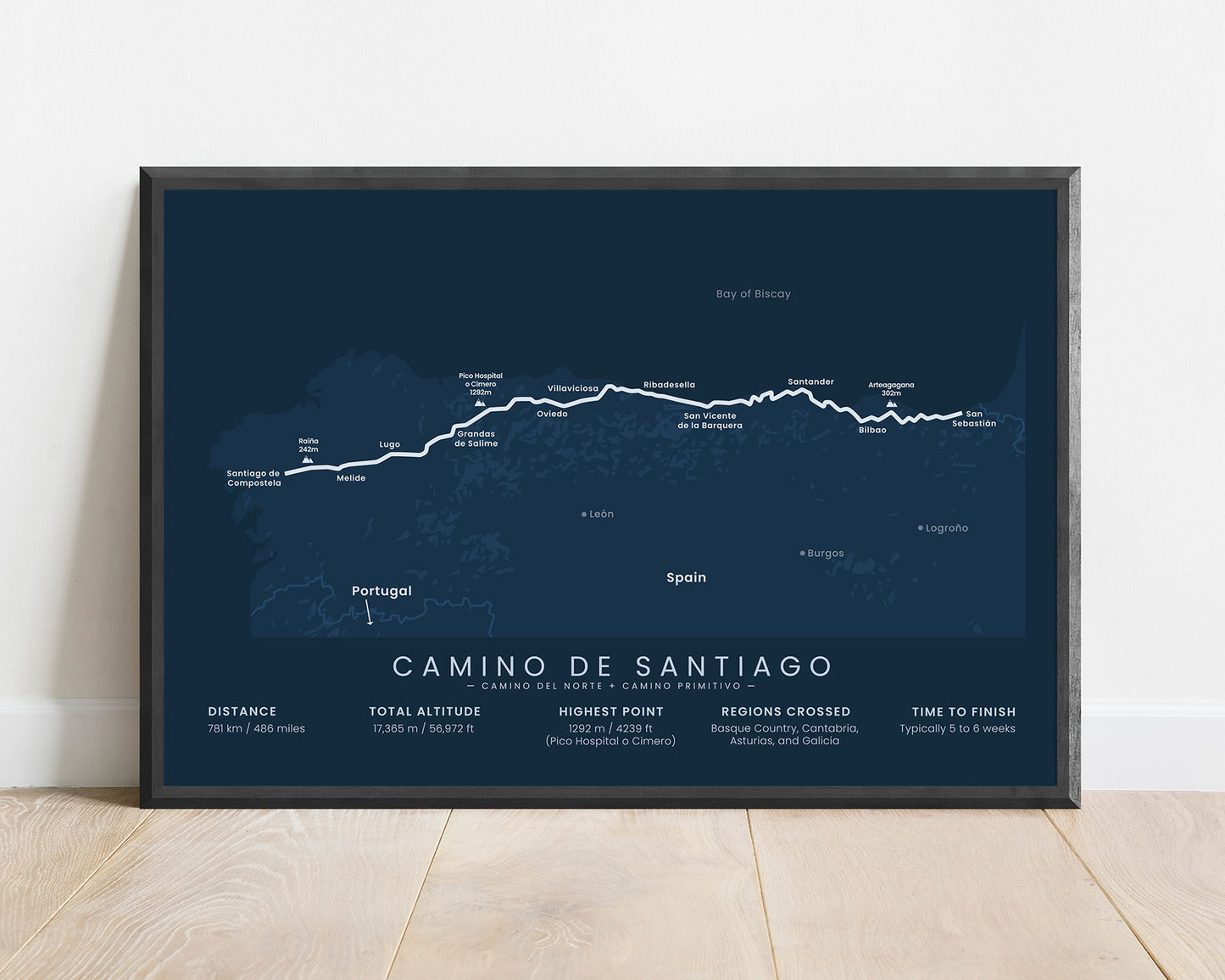
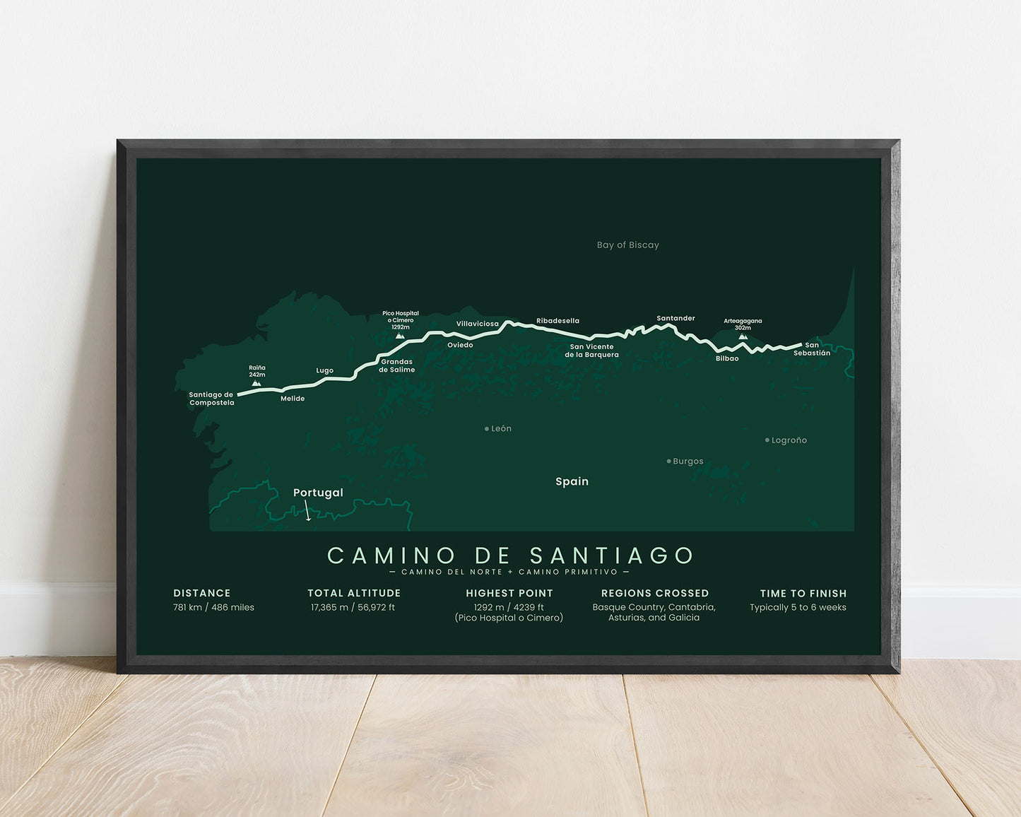
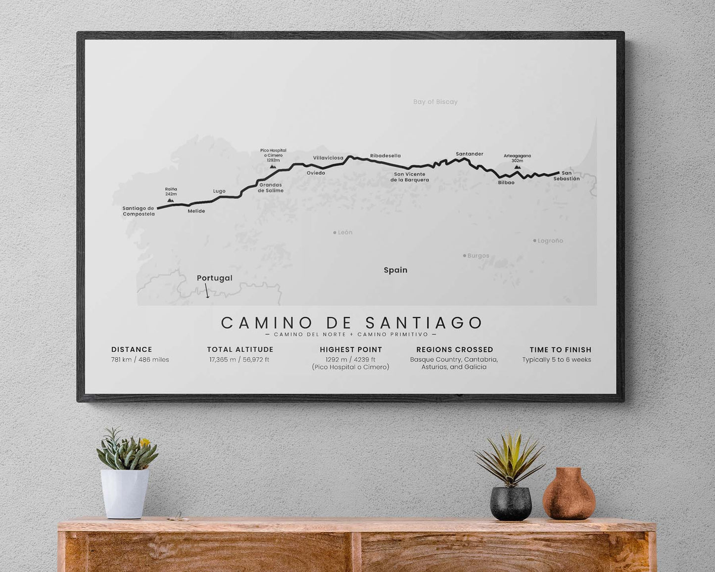
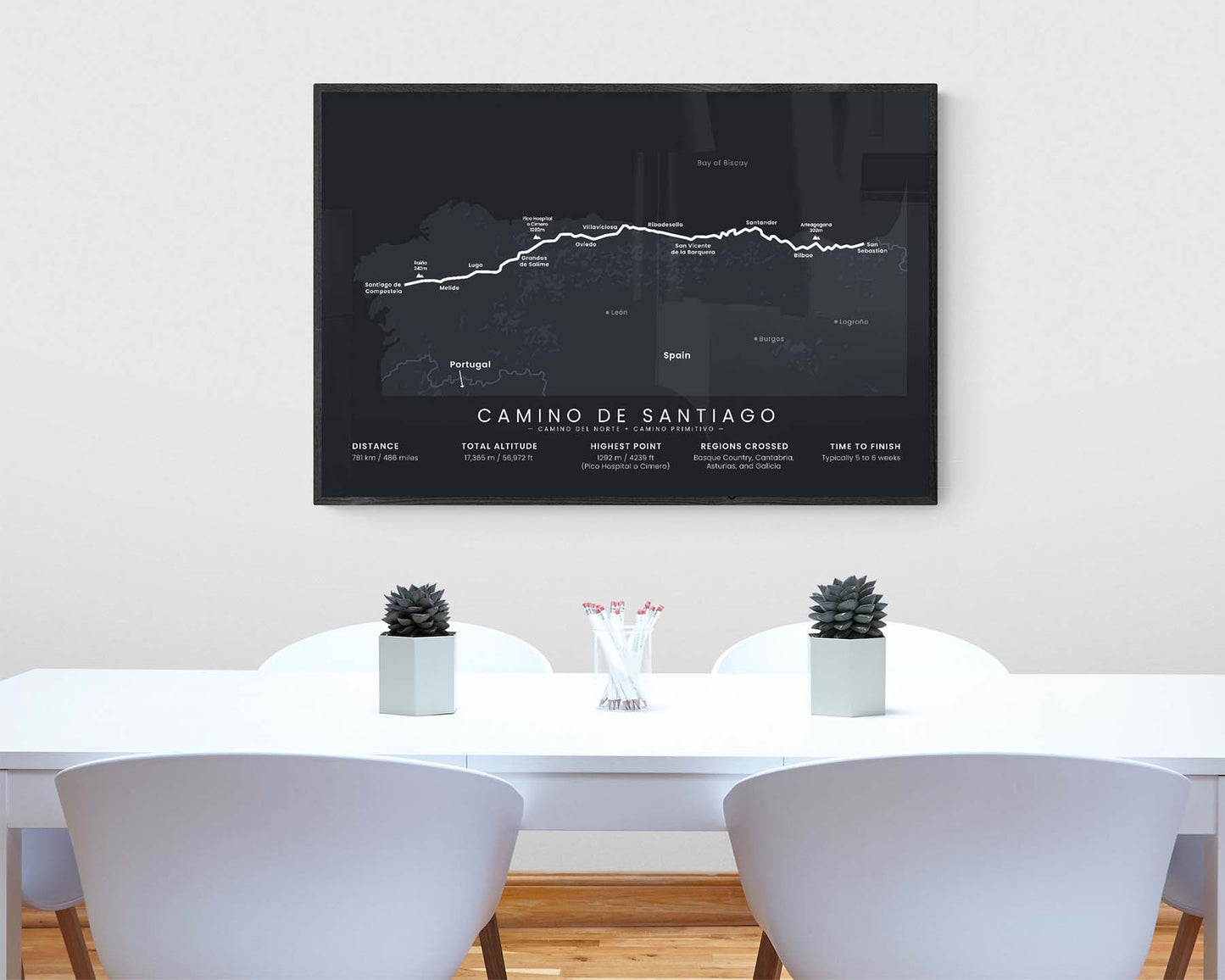

A print that shows the map of the combined route of the Camino del Norte and Camino Primitivo hiking trails. It displays the full trail, main cities and peaks along the way, and the main statistics about the trail, like the total distance, highest point, and more. It’s made in a minimal style to fit most modern, minimal, and Scandinavian interiors.
About the Camino del Norte + Camino Primitivo Combined Variation
This is a popular combination of two Camino de Santiago (other known as "Way of Saint James") routes, the Camino del Norte (other known as "Northern Way") and Camino Primitivo (other known as "Primitive Way or "Original Way"). It starts with the regular Camino del Norte hiking trail from San Sebastian to Oviedo and then follows the Camino Primitivo route from Oviedo to Santiago de Compostela. In length, location, and altitude gain, it's very similar to the Camino Frances hiking trail, only it goes through a more coastal route, which allows for visiting more beaches along the way, and a bit cooler temperatures. Many people choose to do this trial instead because of these reasons.
Important: There are multiple Camino de Santiago Routes. So if you're buying this print as a gift, make sure that you're buying the correct one! You'll find a list of all the routes that we've covered over here.
Statistics About the Camino del Norte + Camino Primitivo Hiking Trail
- Start point: San Sebastian, Spain
- End point: Santiago de Compostela, Spain
- Total distance: 781 km / 486 miles
- Total altitude gain/loss: 17 365 m / 56 972 ft
- Highest point: 1292 m / 4239 ft (Pico Hospital o Cimero)
- Countries crossed: Spain
- Time to finish: Usually 5-6 weeks
- Best time to hike: June - September


