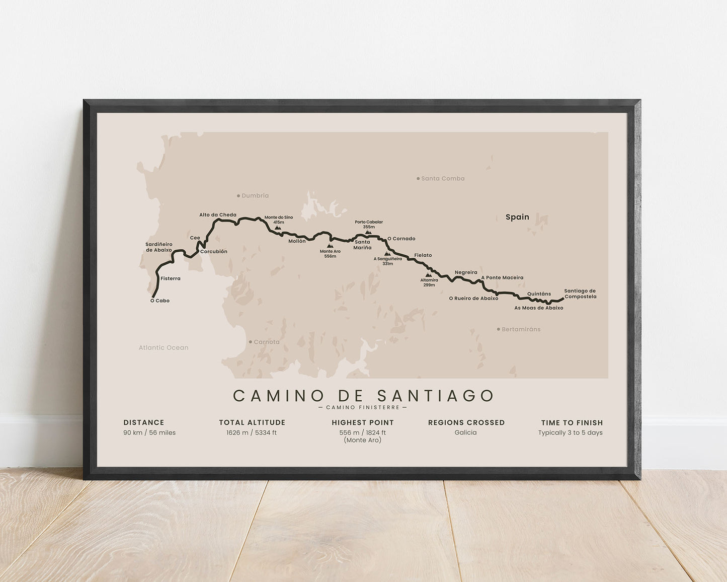
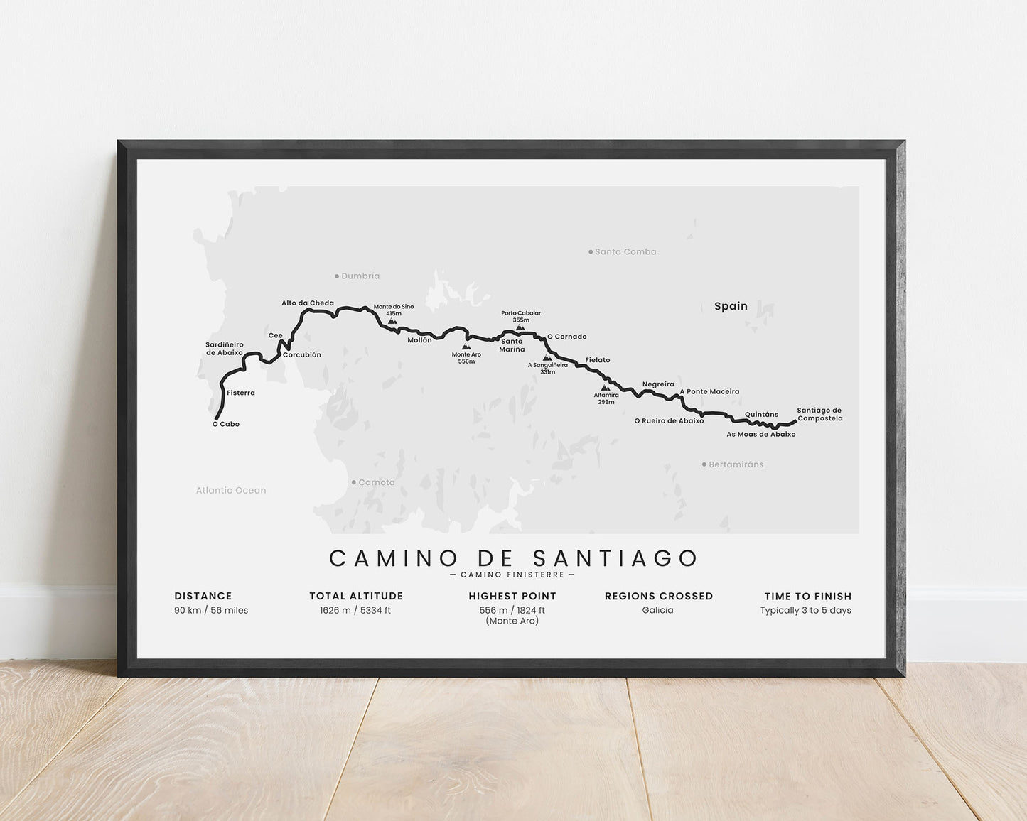
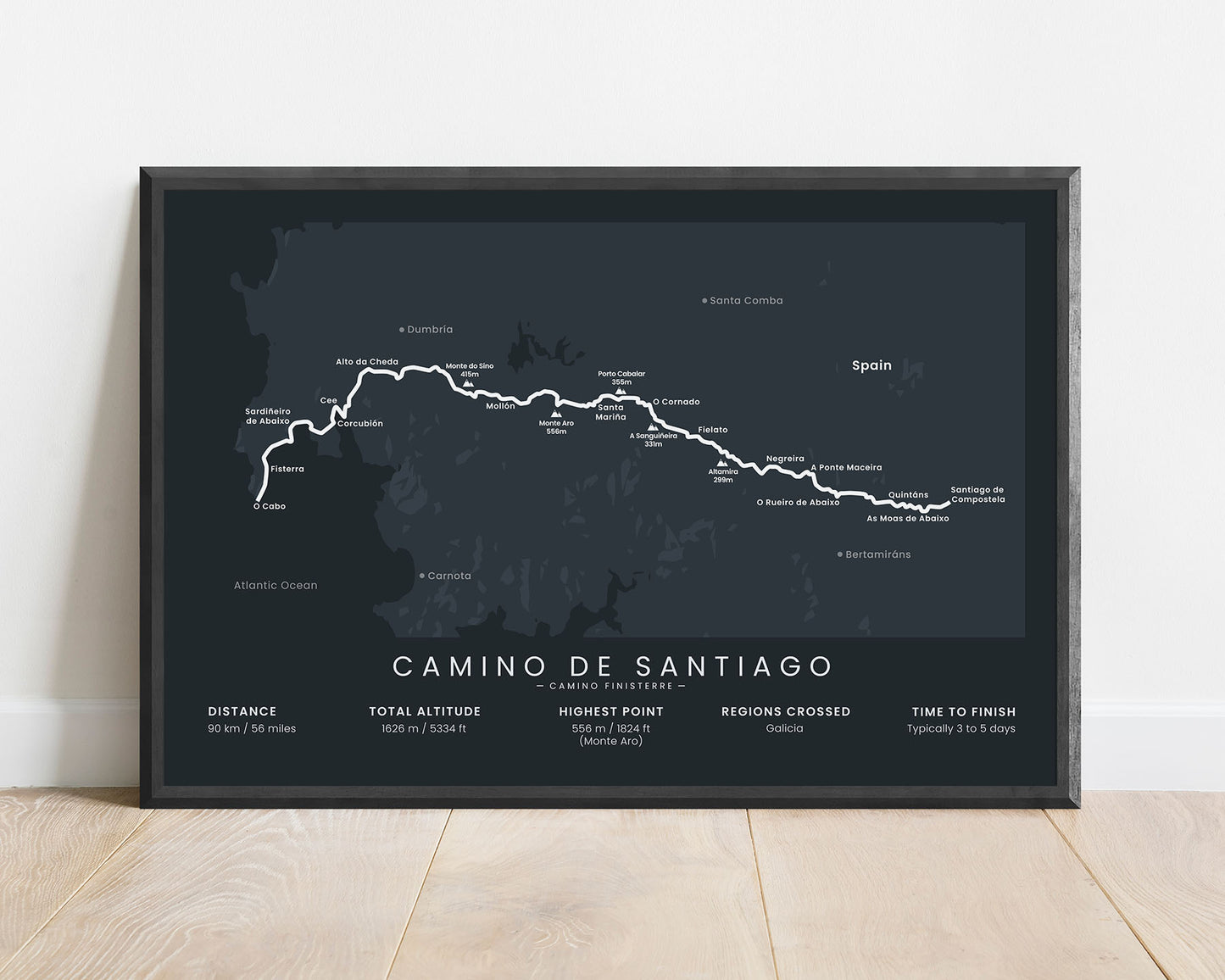
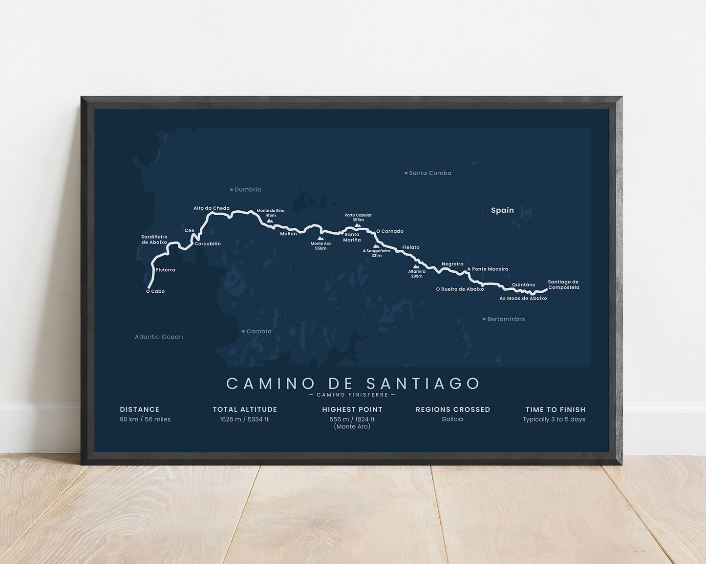
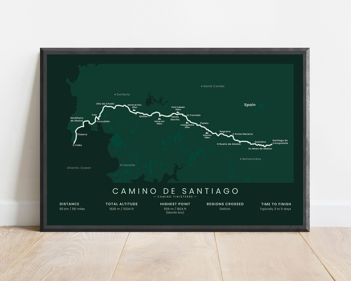
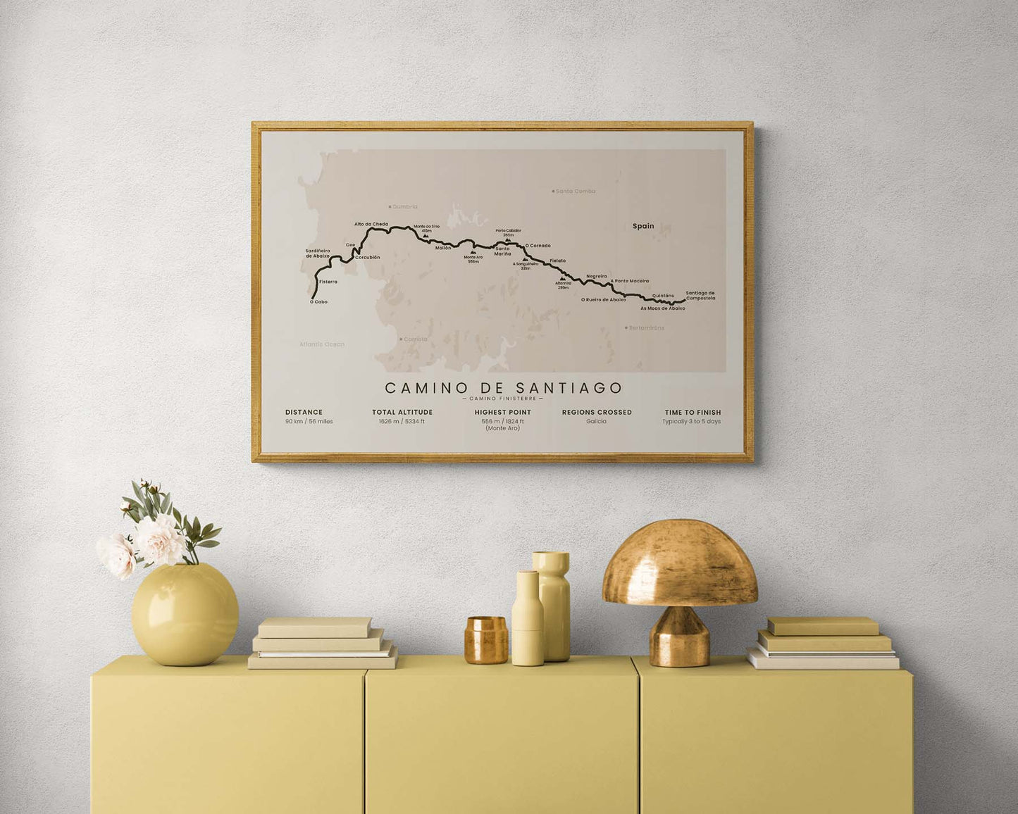
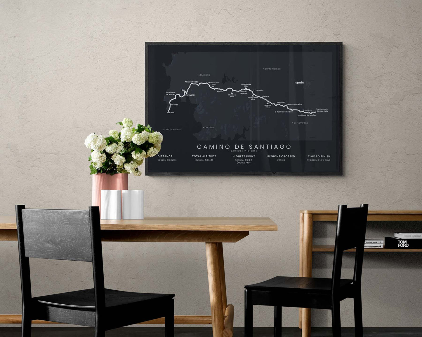

A minimalist map of the Camino Finisterre pilgrimage, which shows the entire route of the trail, main cities and peaks, a bit of local topography, and important statistics about the trail, like the total distance, elevation gain, and more. If you’ve completed the Camino Finisterre, then this poster will be a great way to have something in your home to remember your hike with.
About Camino Finisterre
The Camino Finisterre (other known as the Camino de Fisterra y Muxía) is one of the shortest Camino de Santiago (other known as the Way of Saint James) paths, which many people choose to complete after finishing other routes, such as the Camino Frances. It's often completed by people who want to finish one of the Camino de Santiago routes, but do not want to commit to hiking for weeks at a time. It's a rather short hike and can be completed in only a few days, but it allows you to experience rural northern Spain, see the Santiago de Compostela, and experience the coastal regions of Northern Spain. Another short option is the Camino Ingles hiking trail, which goes in the north direction of Santiago de Compostela.
Important: There are multiple Camino de Santiago Routes. So if you're buying this print as a gift, make sure that you're buying the correct one! You'll find a list of all the routes that we've covered over here.
Statistics About the Camino Finisterre Hiking Trail
- Start point: Santiago de Compostela, Spain
- End point: Cabo Finisterre, Spain
- Total distance: 90 km / 56 miles
- Total altitude gain/loss: 1626 m / 5334 ft
- Highest point: 556 m / 1824 ft (Monte Aro)
- Countries crossed: Spain
- Regions crossed: Galicia
- Time to finish: Usually 3-5 days
- Best time to hike: April - November


