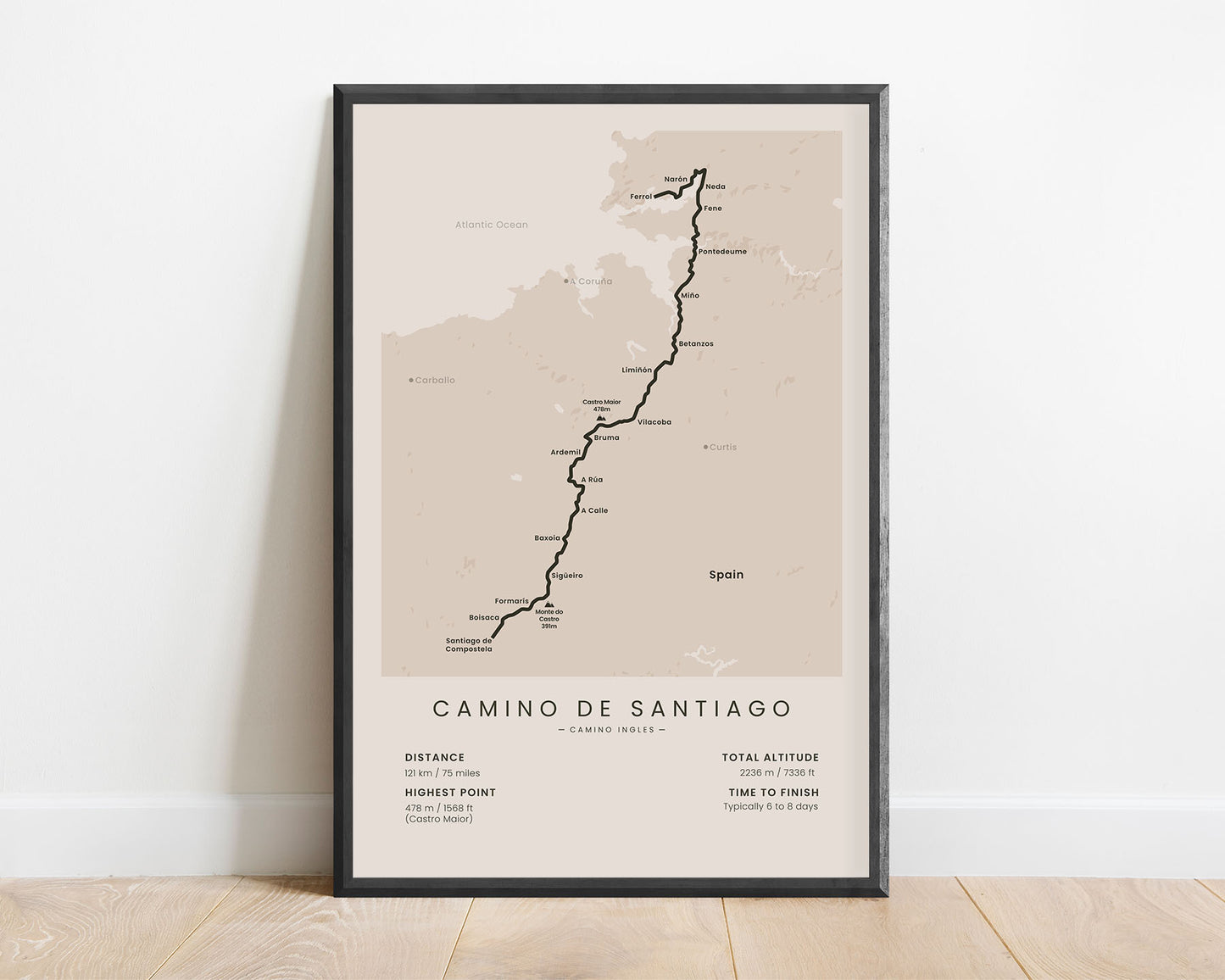
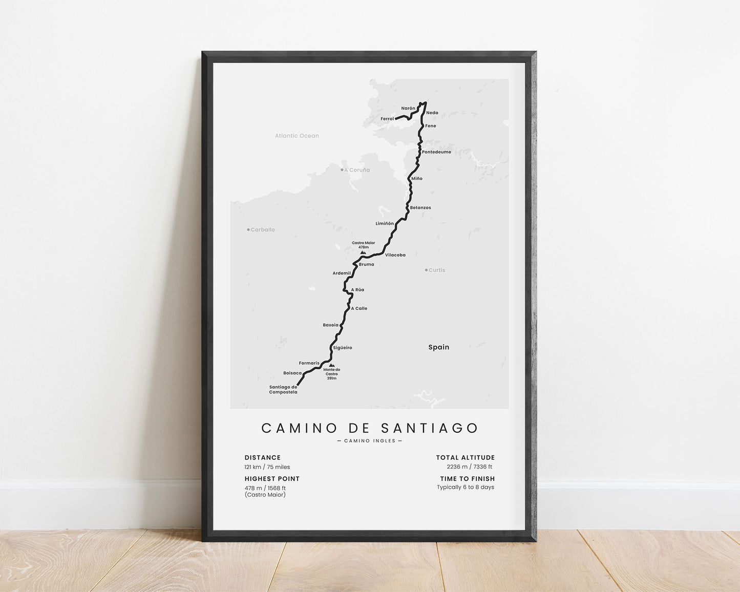
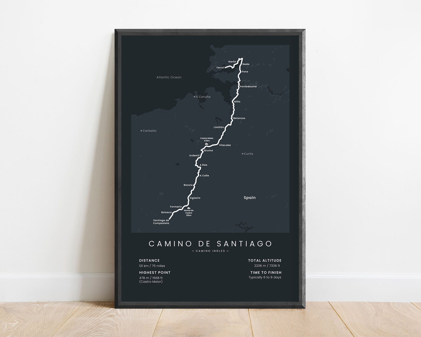
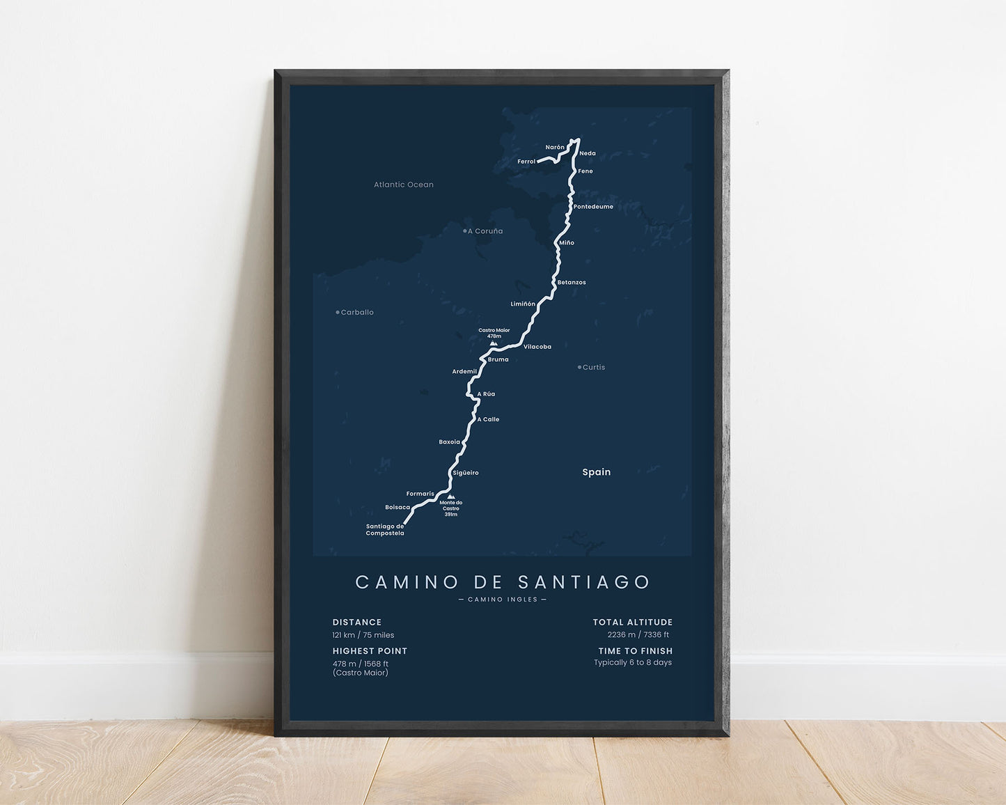
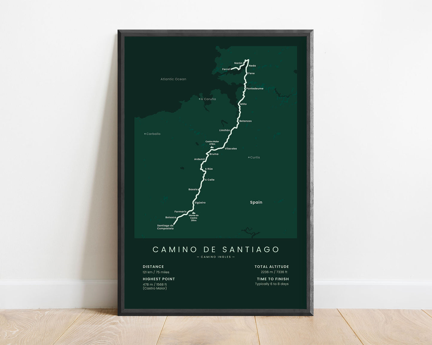
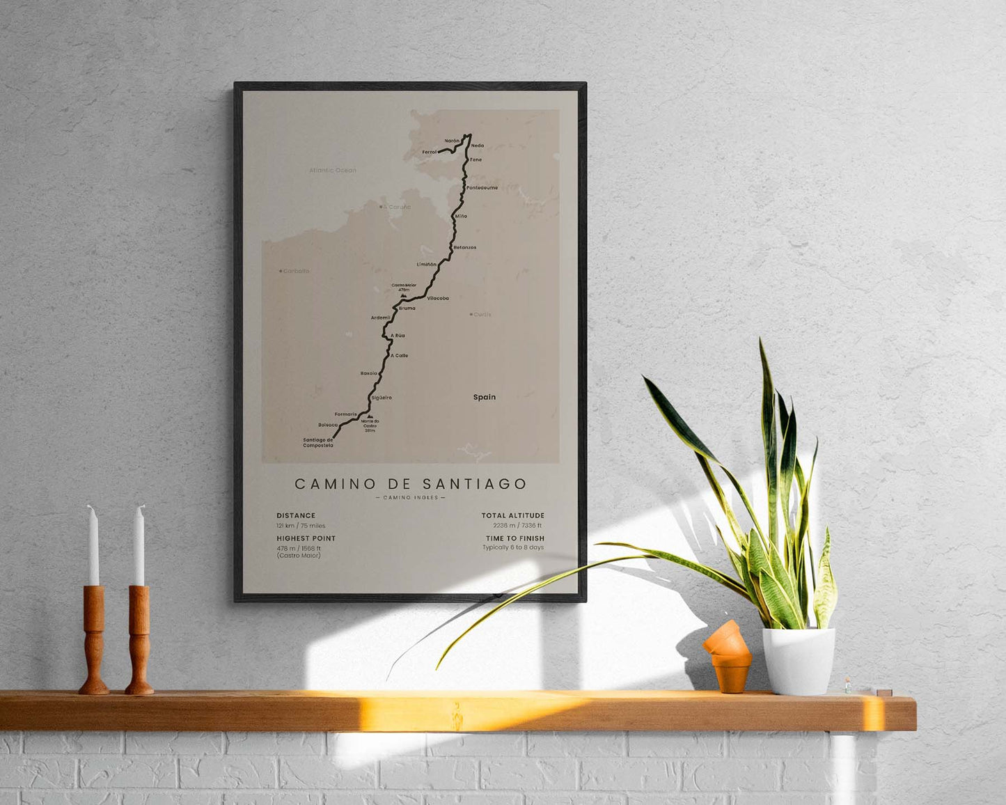
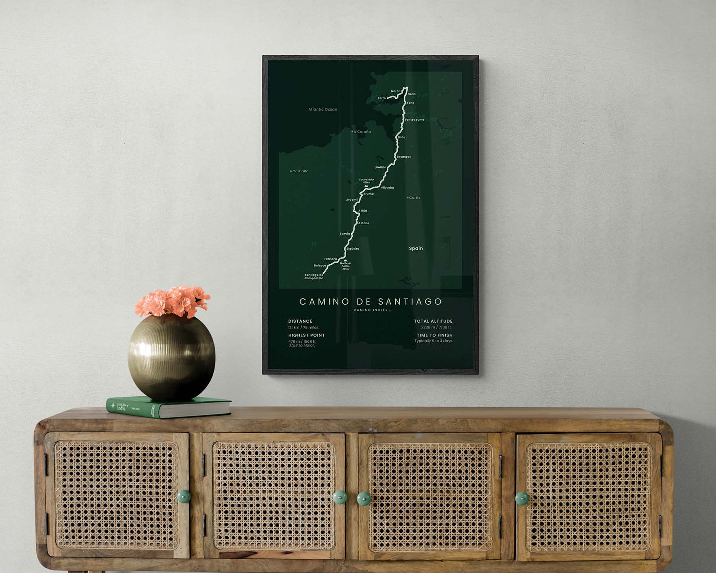

A print that shows the Camino Ingles pilgrimage, which includes the whole map of the route, important towns and peaks along the way, the total distance of the trail, elevation gain, highest point, and the average time to finish. It’s made in a minimal style to look better in most modern interiors. If you’ve hiked the Camino Ingles trail or you want to in the future, this print will be a great way to showcase this adventure.
About the Camino Ingles Pilgrimage
The Camino Ingles (other called the English Way) is a part of the Camino de Santiago (other called the Way of Saint James) pilgrimage network. It starts at Ferrol, a coastal town in Galicia, and finishes at Santiago de Compostela. It's one of the shortest Camino de Santiago hikes, but nevertheless, still very popular because you get to experience the coastal regions as well as the culture of Northern Spain in a shorter amount of time. Another short Camino de Santiago route is the Camino Finisterre. A lot of hikers choose to end their longer Camino de Santiago routes (for example, the Camino Frances) either by walking the Camino Ingles or Finisterre, with a goal of ending the thru hike at the Atlantic Ocean.
Important: There are multiple Camino de Santiago Routes. So if you're buying this print as a gift, make sure that you're buying the correct one! You'll find a list of all the routes that we've covered over here.
Statistics About the Camino Ingles
- Start point: Ferrol, Spain
- End point: Santiago de Compostela, Spain
- Total distance: 121 km / 75 miles
- Total altitude gain/loss: 2236 m / 7336 ft
- Highest point: 478 m / 1568 ft (Castro Maior)
- Countries crossed: Spain
- Regions crossed: Galicia
- Time to finish: Usually 6-8 days
- Best time to hike: April - November


