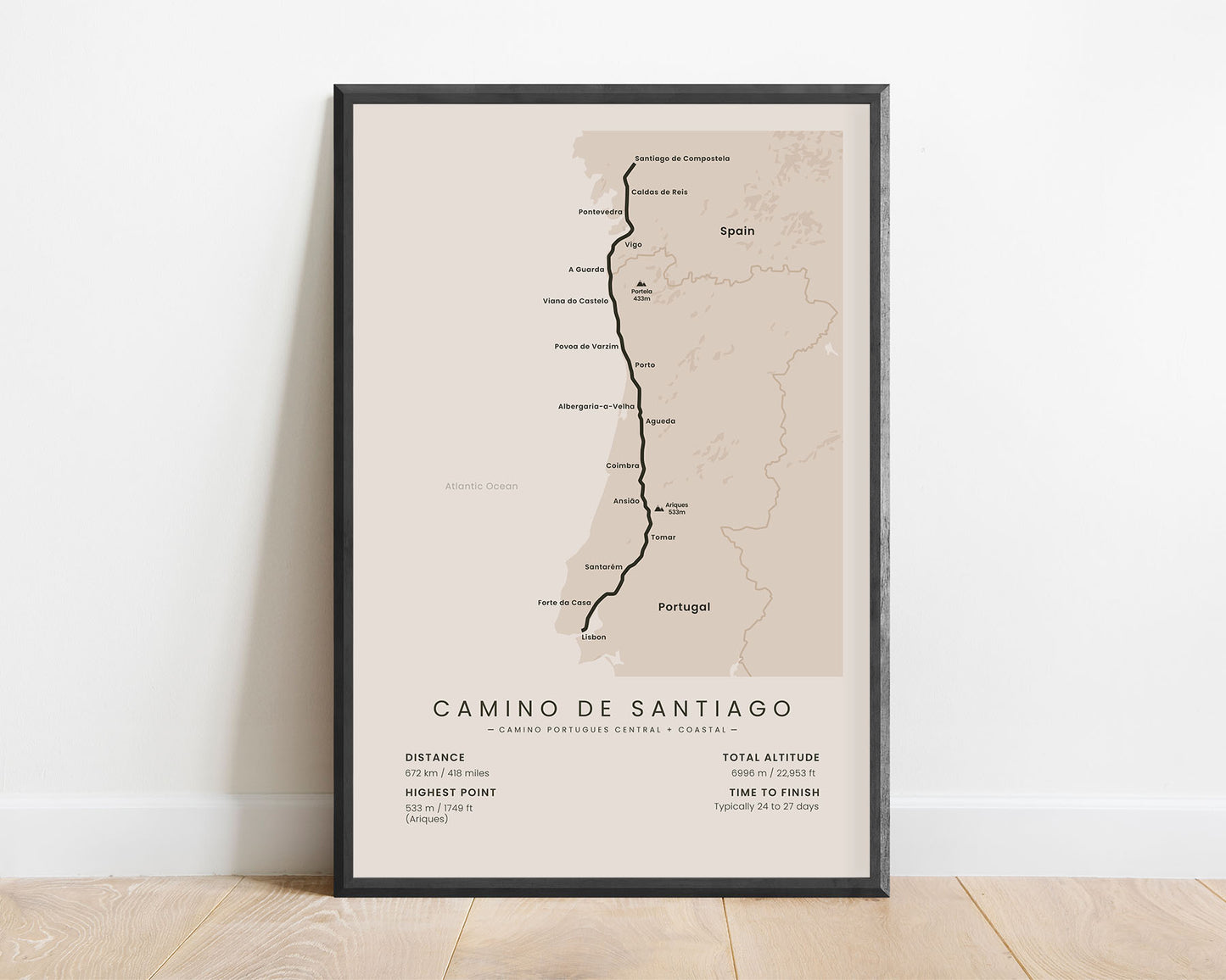
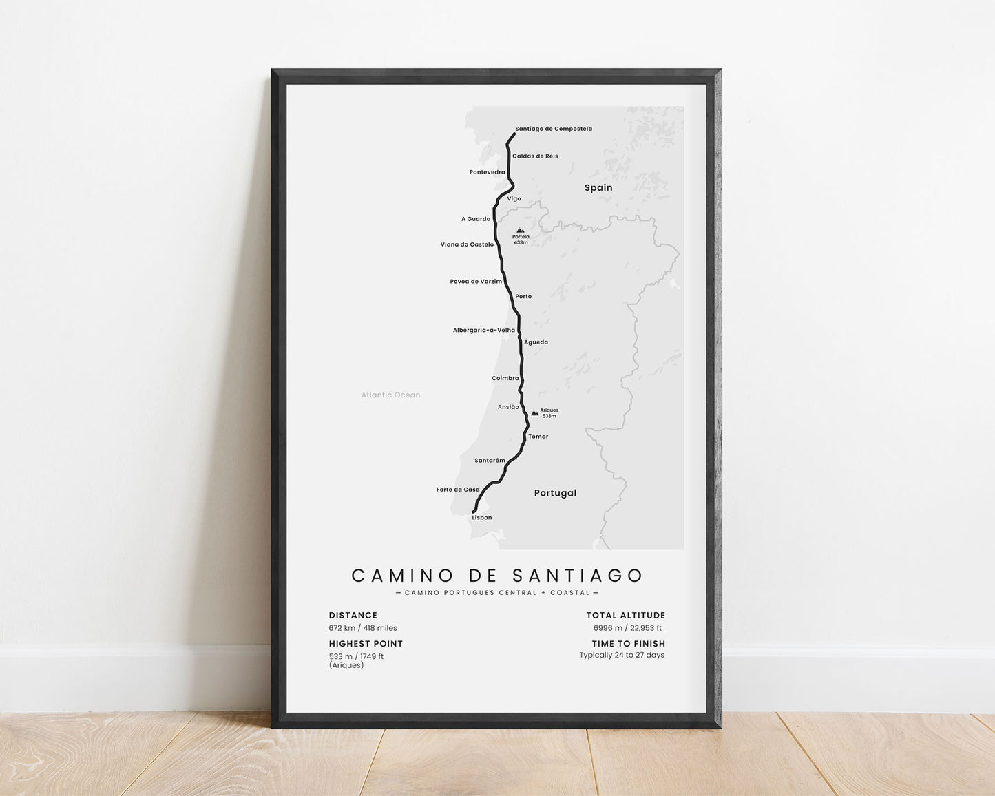
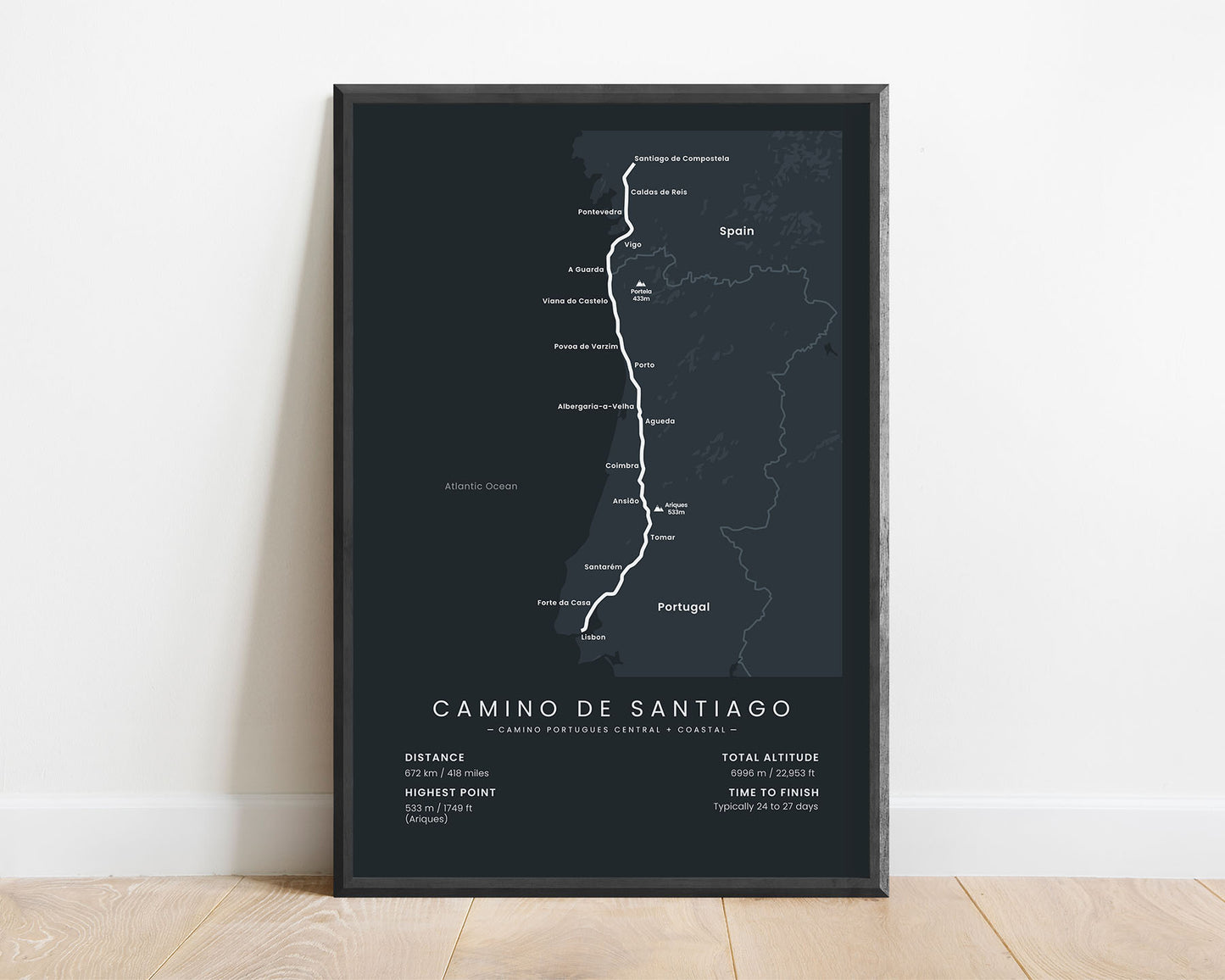
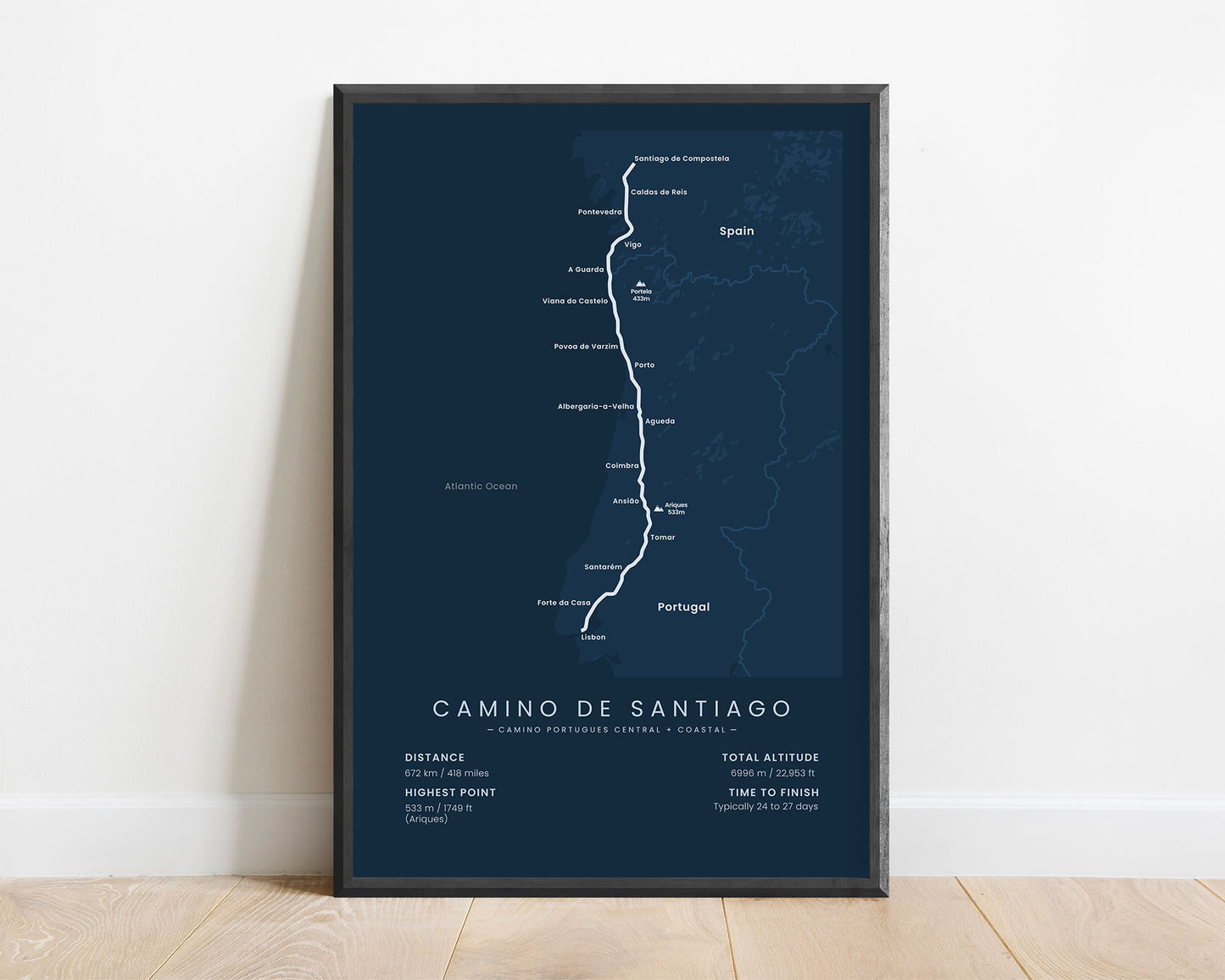
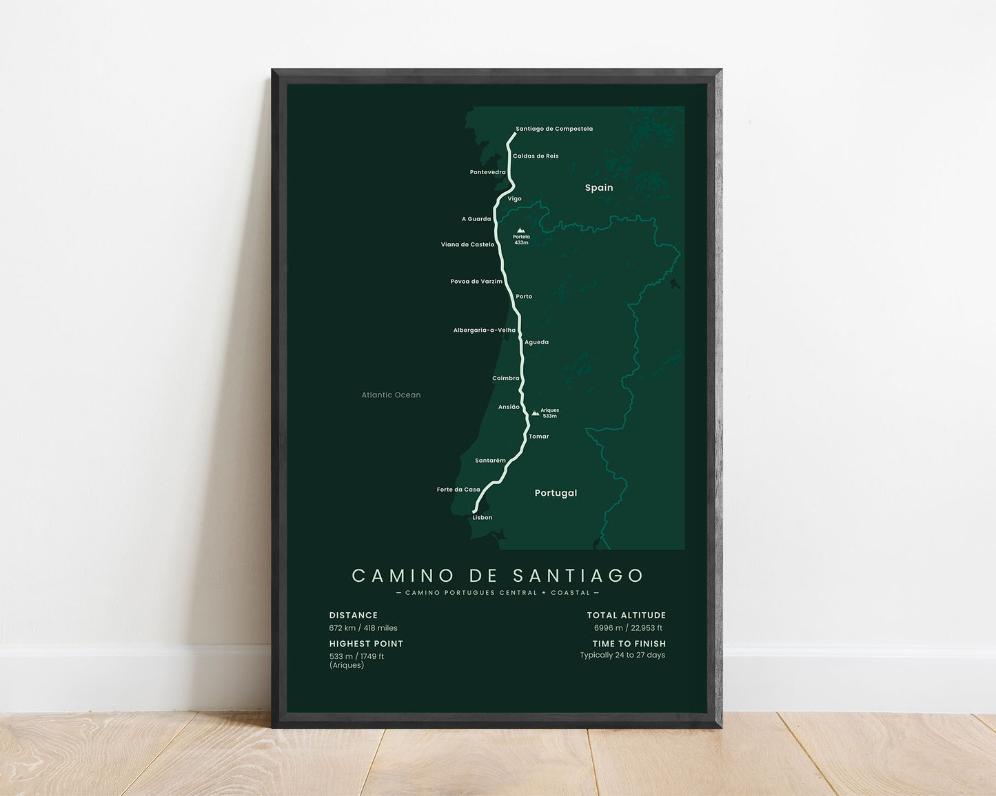

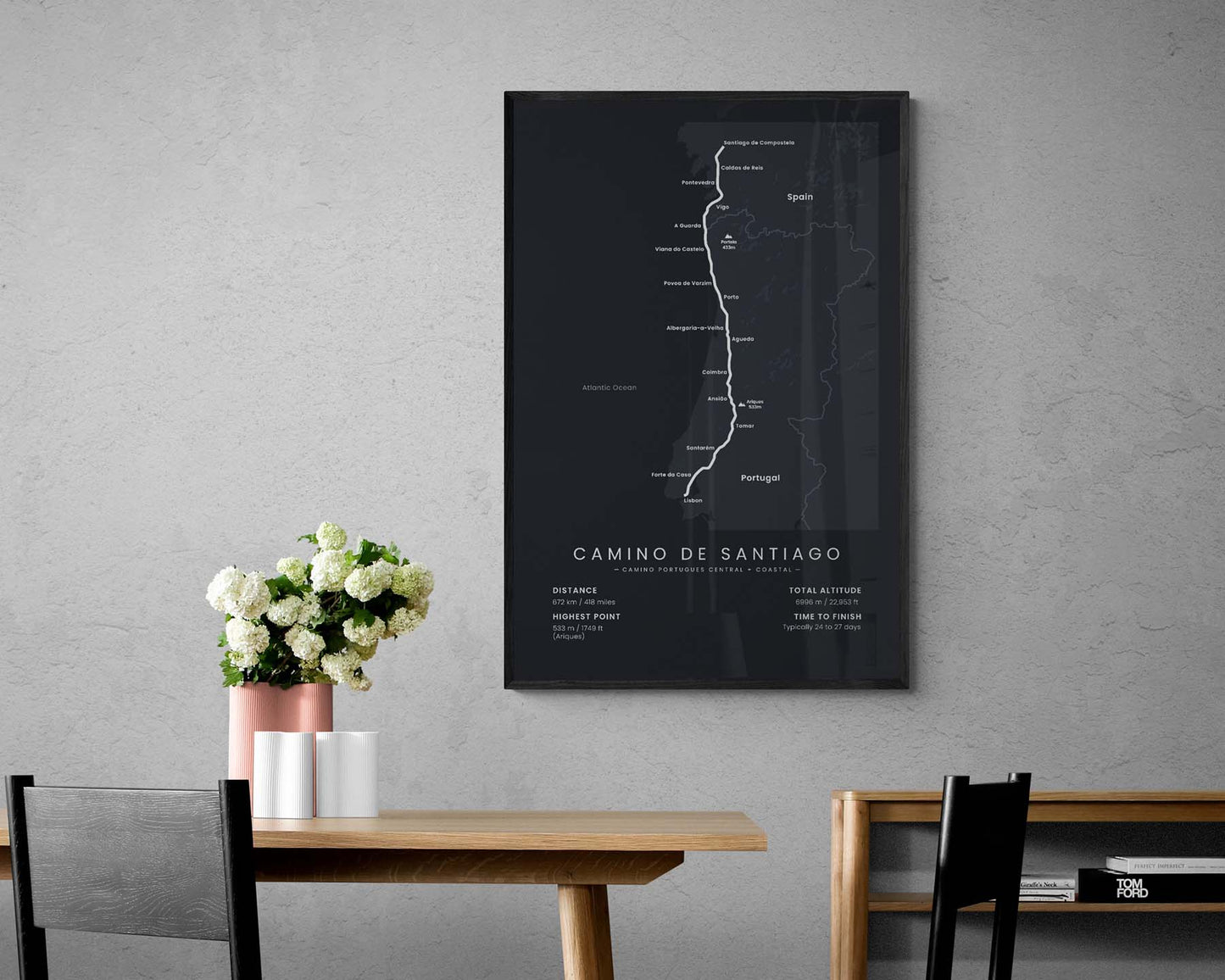

A poster that shows the map of the Camino Portugues Central + Camino Portugues Coastal variation of the Camino de Santiago pilgrimage. It shows the entire route of this variation, important cities and peaks along the way, and important statistics about the trail. It’s offered in several different color and size options, so you can find the right poster that fits your interior. If you’ve completed this hike, it will be a great addition to your home.
About the Camino Portugues Central + Camino Portugues Coastal Variation
This route is a variation of two different Camino de Santiago (the Way of Saint James) paths - the Camino Portugues Central (the Central Way) and Camino Portugues Coastal (the Coastal Way). It starts with the Camino Portugues Central from Lisbon to Porto and then follows the path of the Camino Portugues Coastal until Santiago de Compostela. Many people choose to do this variation because it provides a good mix of rural Portugal and Spain in combination with coastal areas. It's one of the longest Camino de Santiago paths, almost as long as the Camino Frances, but it allows you to experience more of Portugal and is more refreshing due to countless swimming opportunities.
Important: There are multiple Camino de Santiago Routes. So if you're buying this print as a gift, make sure that you're buying the correct one! You'll find a list of all the routes that we've covered over here.
Statistics About the Camino Portugues Central + Coastal Route
- Start point: Lisbon, Portugal
- End point: Santiago de Compostela, Spain
- Total distance: 672 km / 418 miles
- Total altitude gain/loss: 6996 m / 22 953 ft
- Highest point: 533 m / 1749 ft (Ariques)
- Countries crossed: Spain, Portugal
- Regions crossed: Lisboa, Santarem, Leiria, Coimbra, Aveiro, Porto, Braga, Viana do Castelo, Galicia
- Time to finish: Usually 24-27 days
- Best time to hike: May - October


