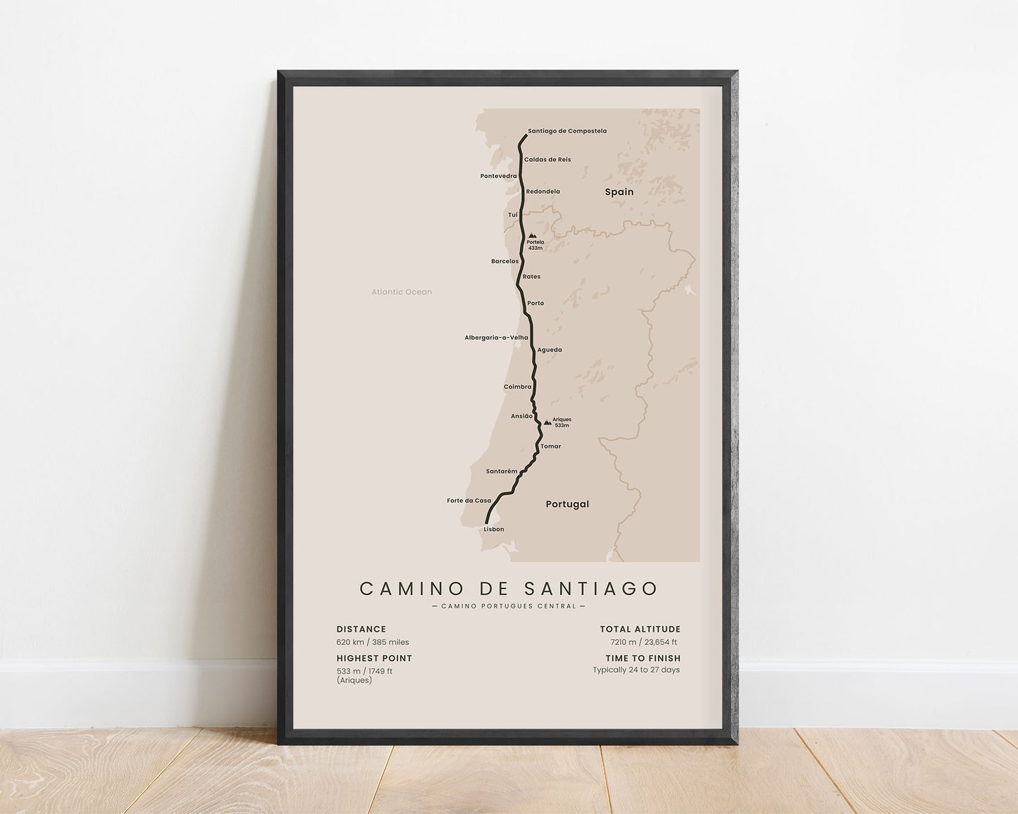
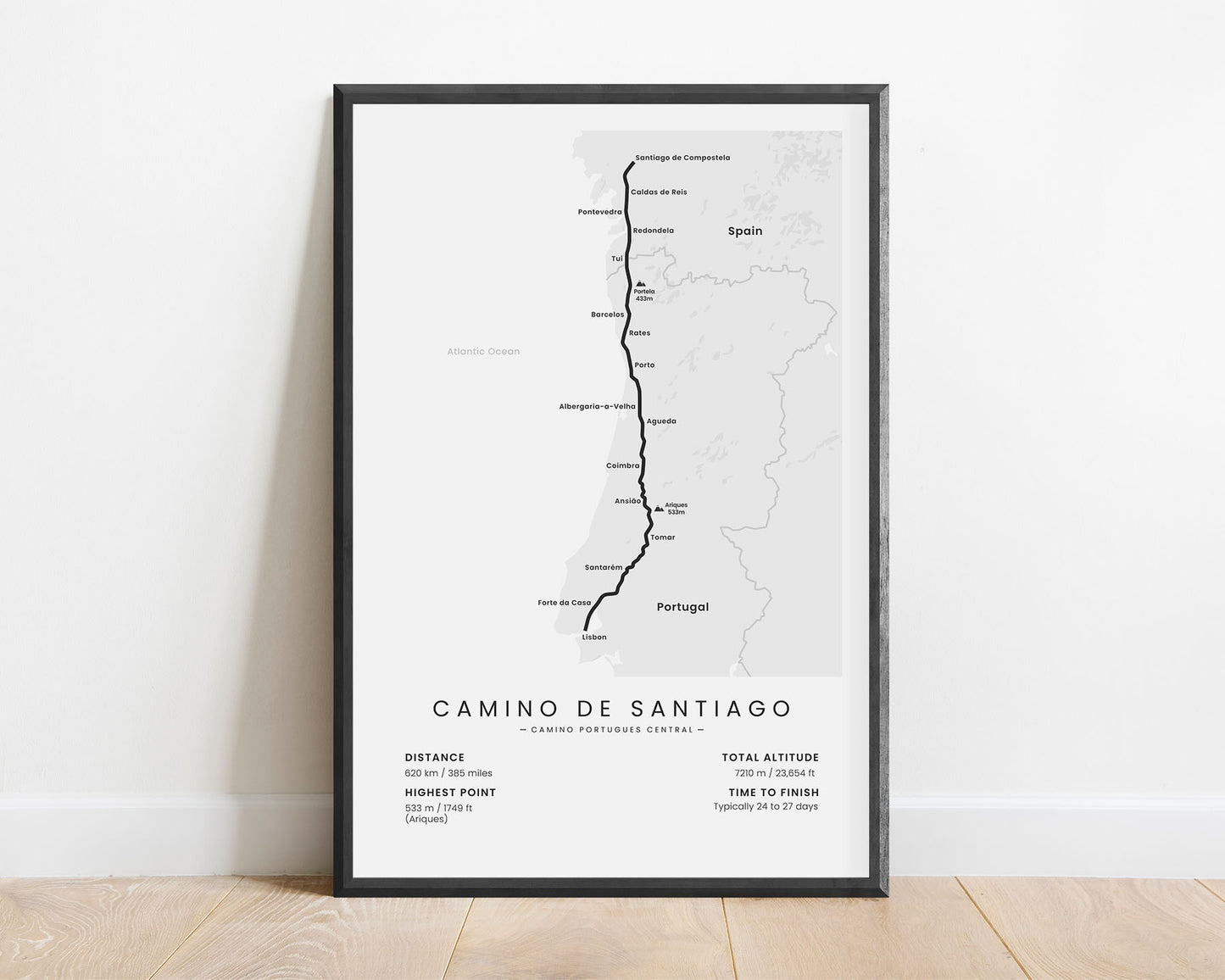
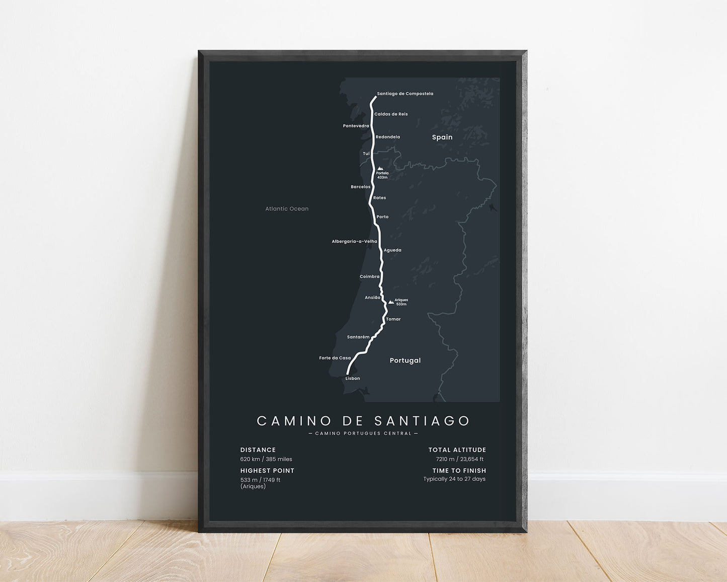
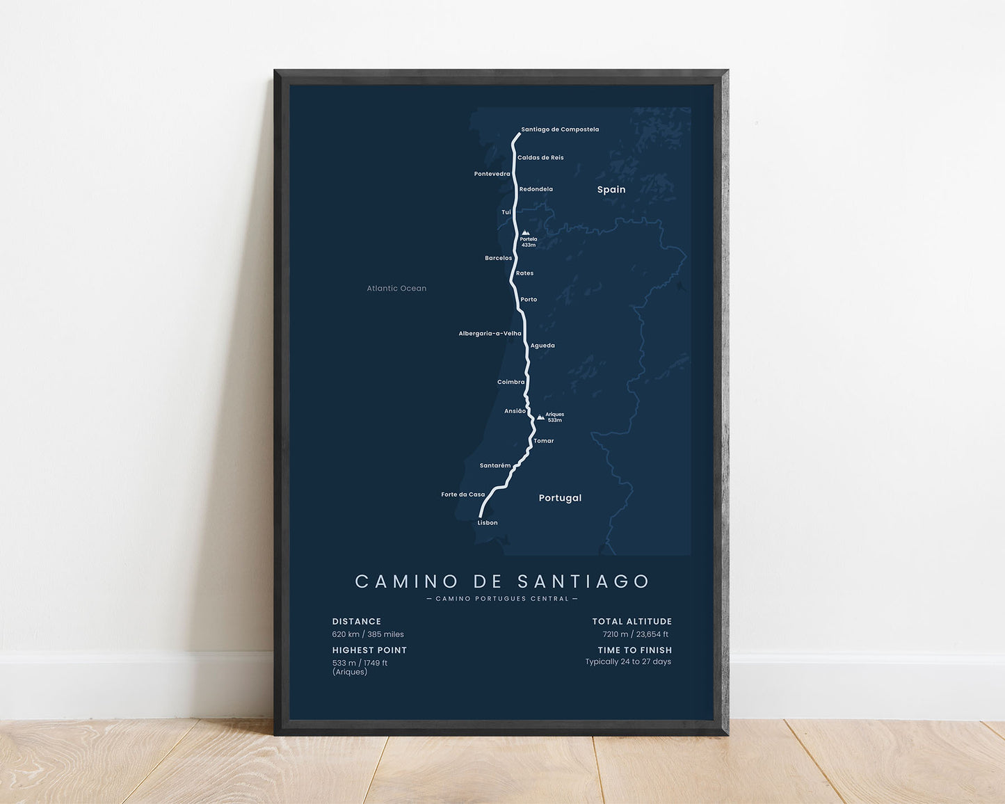
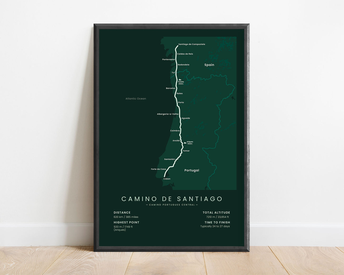


A print that shows the full map of the Camino Portugues Central pilgrimage. It displays the entire route of the trail, starting at Lisbon and ending at Santiago de Compostela, main points of interest along the way, and important statistics about the trail, like the total distance, elevation gain, highest point, and more. It’s offered in 5 different minimal color options and 5 different sizes, so you can choose one that fits your interior.
About the Camino Portugues Central Pilgrimage
The Camino Portugues Central (other known as the Central Way or the Portuguese Way) is a route of the Camino de Santiago (other known as the Way of Saint James) pilgrimage. It starts at Lisbon, Portugal, then goes 620 km through western Portugal, and finally finishes at Santiago de Compostela, Spain. Most Camino de Santiago routes start and end in Spain and France, but Portugal is another essential country in the region, which is why many hikers choose to do this variation instead. It takes you through rural Portugal, which lets you experience the unique Portuguese culture. Another Camino de Santiago trail that goes through Portugal is the Camino Portugues Coastal, which starts at Porto and ends at Santiago de Compostela, so many hikers choose to do a combination of both of these trails.
Important: There are multiple Camino de Santiago Routes. So if you're buying this print as a gift, make sure that you're buying the correct one! You'll find a list of all the routes that we've covered over here.
Statistics About the Camino Portugues Central Hiking Trail
- Start point: Lisbon, Portugal
- End point: Santiago de Compostela, Spain
- Total distance: 620 km / 385 miles
- Total altitude gain/loss: 7210 m / 23 654 ft
- Highest point: 533 m / 1749 ft (Ariques)
- Countries crossed: Spain, Portugal
- Regions crossed: Lisboa, Santarem, Leiria, Coimbra, Aveiro, Porto, Braga, Viana do Castelo, Galicia
- Time to finish: Usually 24-27 days
- Best time to hike: May - October


