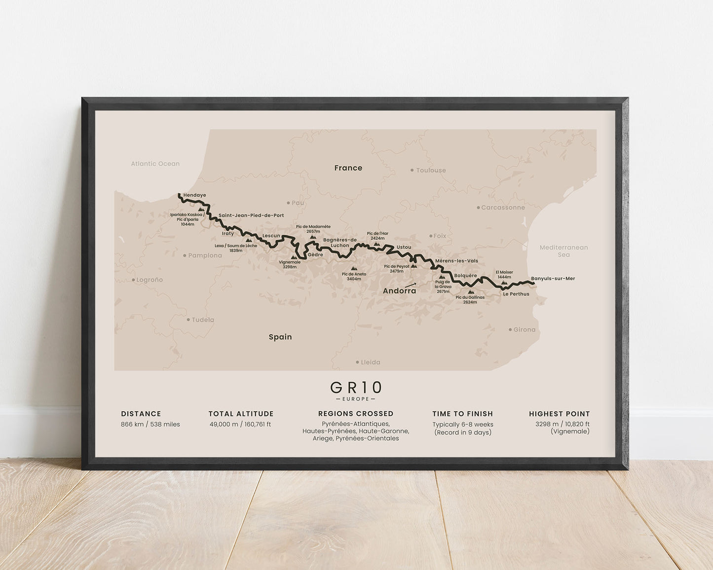
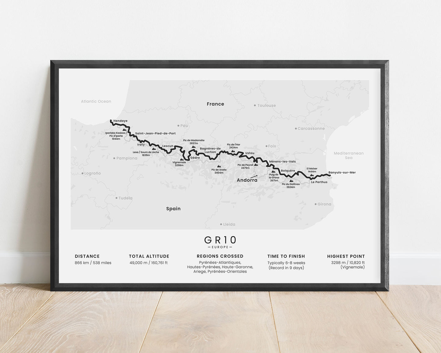
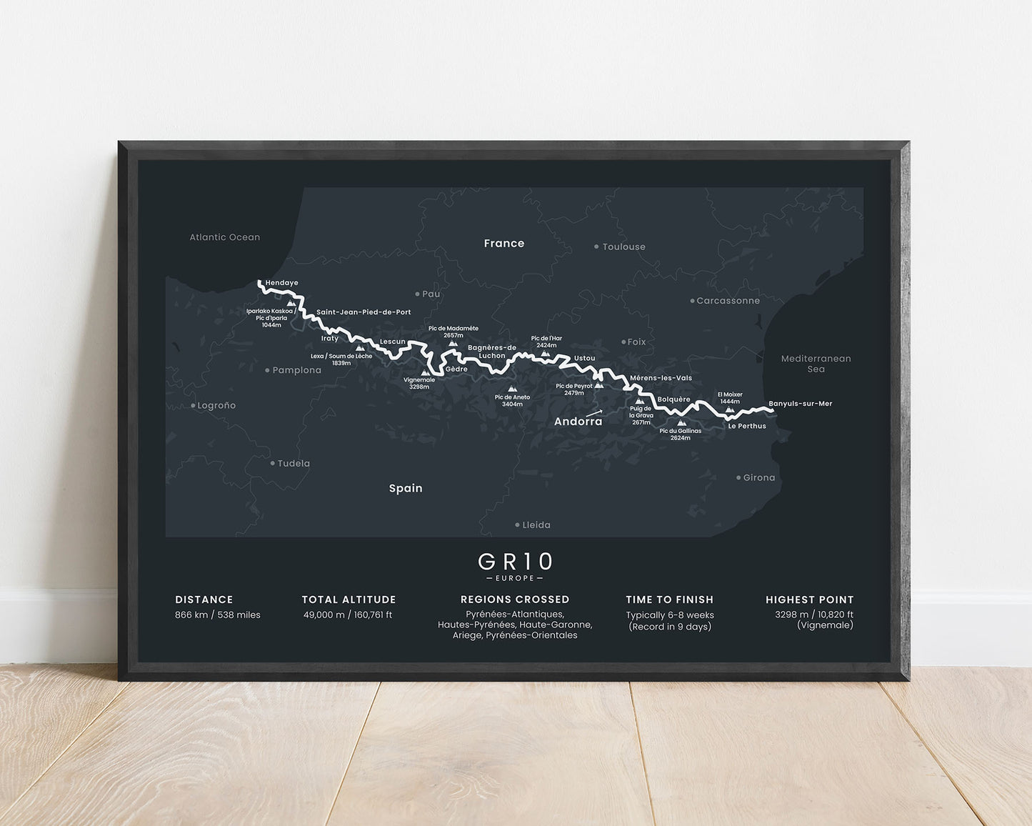
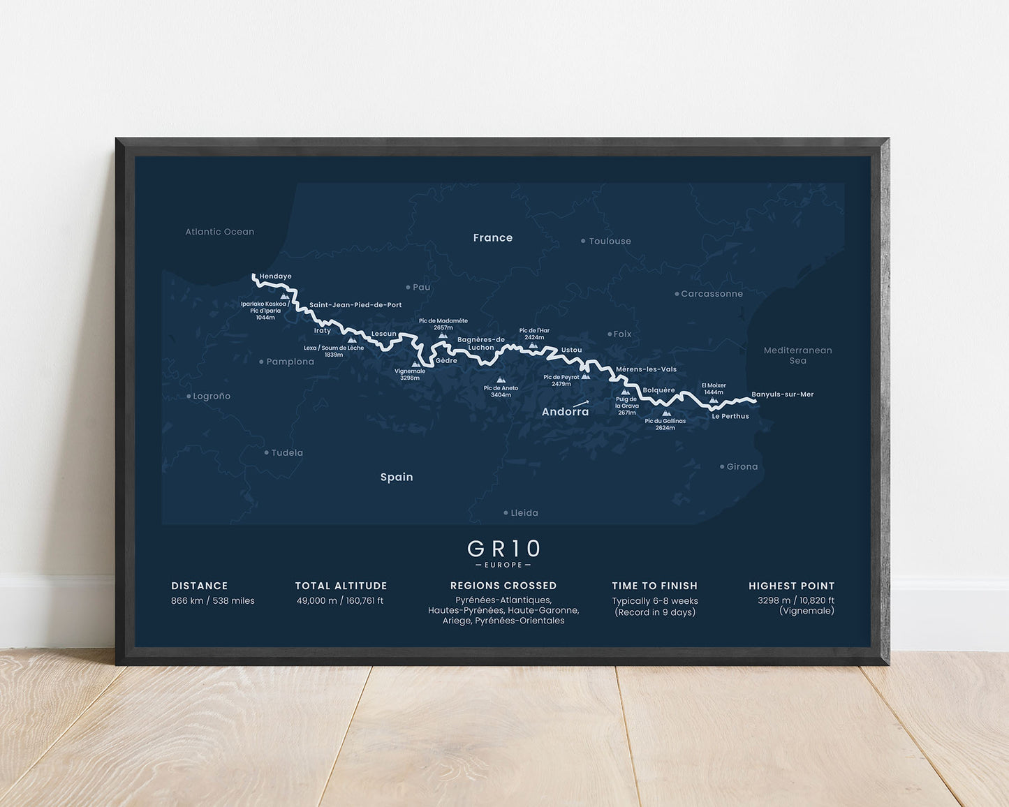
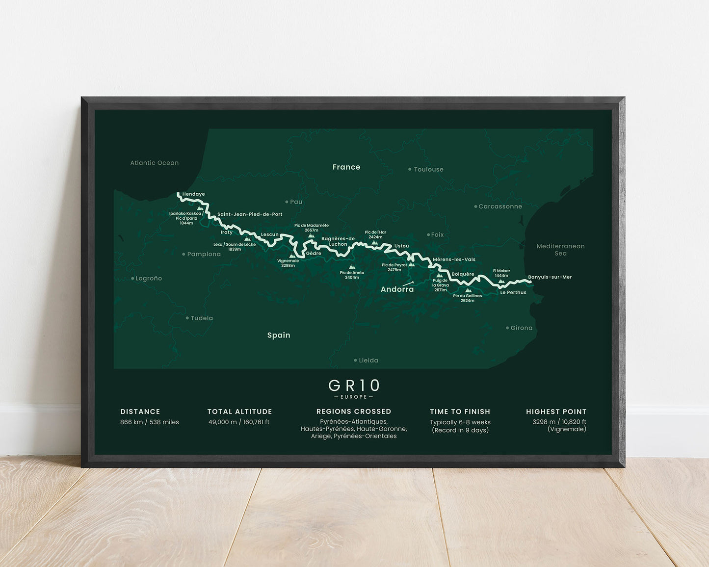
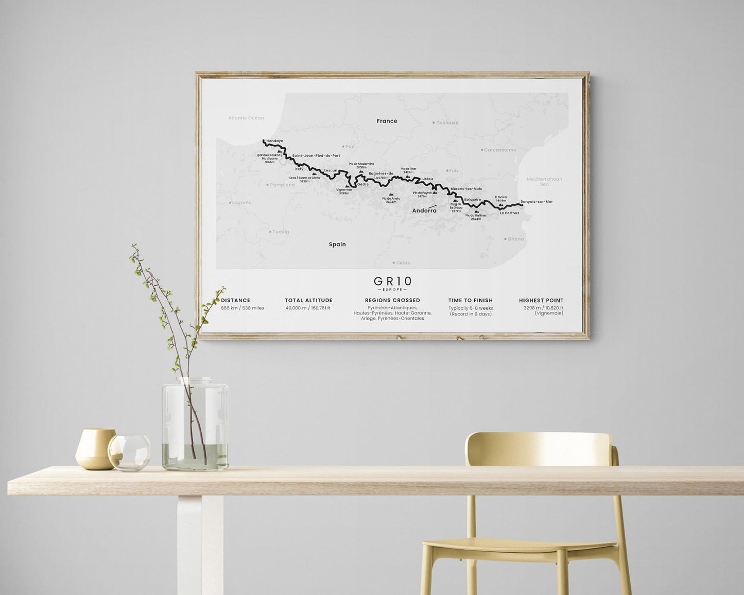
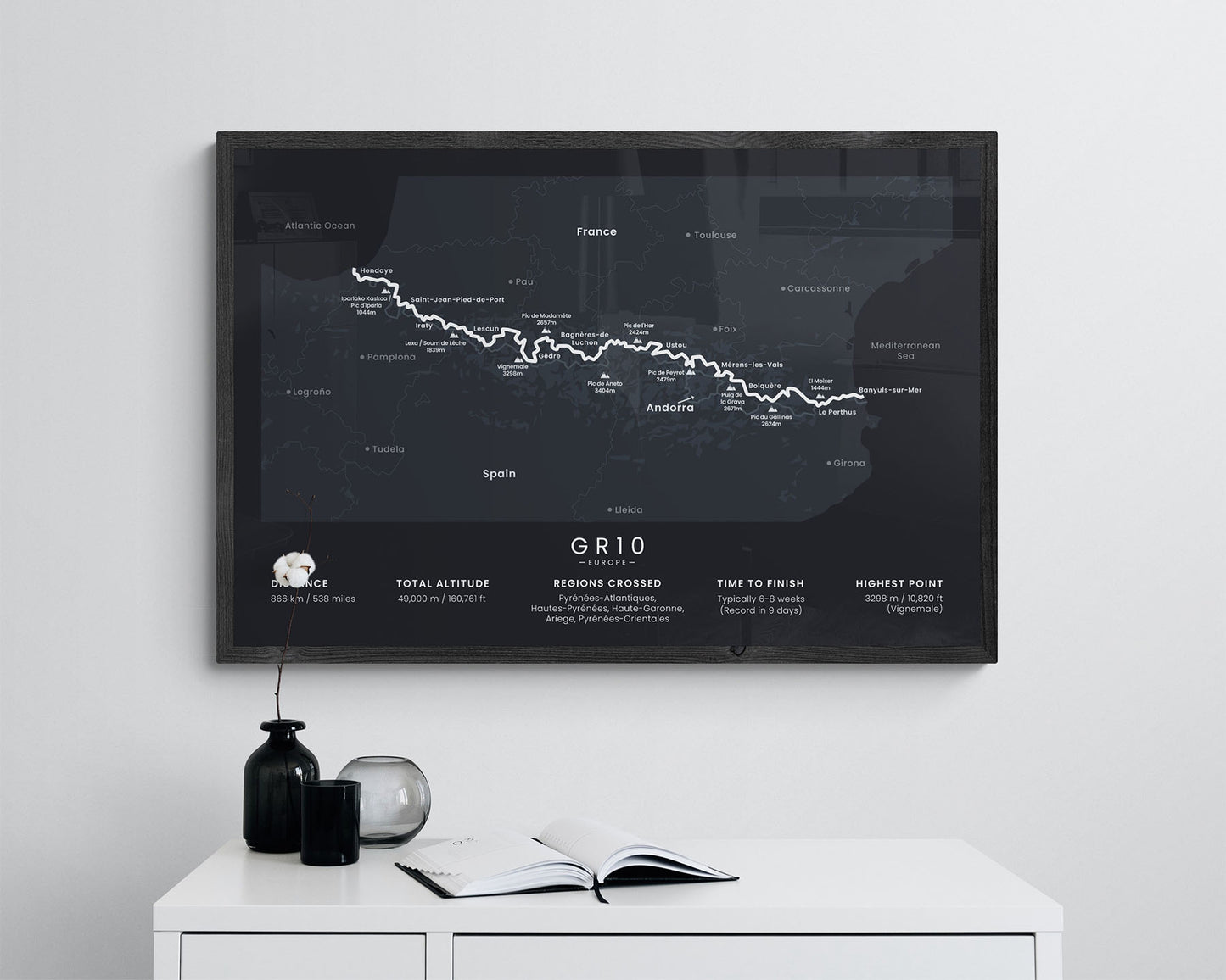

A minimal poster that shows the map of the entire GR10 route. It shows in detail the full route of the hiking trail, the main peaks and villages along the way, and important statistics about the trail. It’s available in different colors and size options to fit most modern and Scandinavian interiors. It will also be a unique gift for someone who has finished or wants to finish the trail.
About the GR10 Hiking Trail
The GR10 hiking trail (other known as the Pyrenean Way) is a French thru-hike that crosses the Pyrenees mountain range from the Atlantic Ocean, Bay of Biscay, Hendaye, to the Mediterranean Sea, Banyuls-Sur-Mer. It's one of the most popular, if not the most popular, thru-hikes in Europe because it takes you through the wild, uninhabited part of France. The GR10 features some spectacular landscapes, including high mountain passes, alpine meadows, crystal-clear rivers and lagoons, and rustic refugees along the way. It's very similar to the GR11 and the HRP (Haute Route Pyrenees) hiking trails because it also crosses the Pyrenees from west to east, with the main differences being that the GR10 mainly goes through France, the GR11 through Spain, and the HRP through the main peaks and ridges of the Pyrenees.
Statistics About the GR10
- Start point: Hendaye, France
- End point: Banyuls-Sur-Mer, France
- Total distance: 538 miles / 866 km
- Total altitude gain/loss: 160 761 ft / 49 000 m
- Highest point: 10 820 ft / 3298 m (Vignemale)
- Countries crossed: France (May enter Spain and Andorra as well if taking variations)
- Regions Crossed: Pyrenees-Atlantiques, Hautes-Pyrenees, Haute-Garonne, Ariege, Pyrenees-Orientales
- Time to finish: Typically 6-8 weeks
- Record finish time: 9 days
- Best time to hike: June - September


