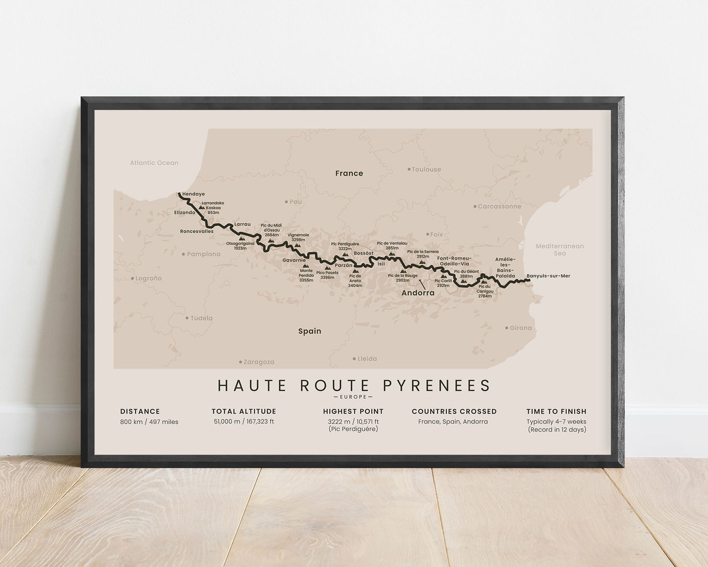
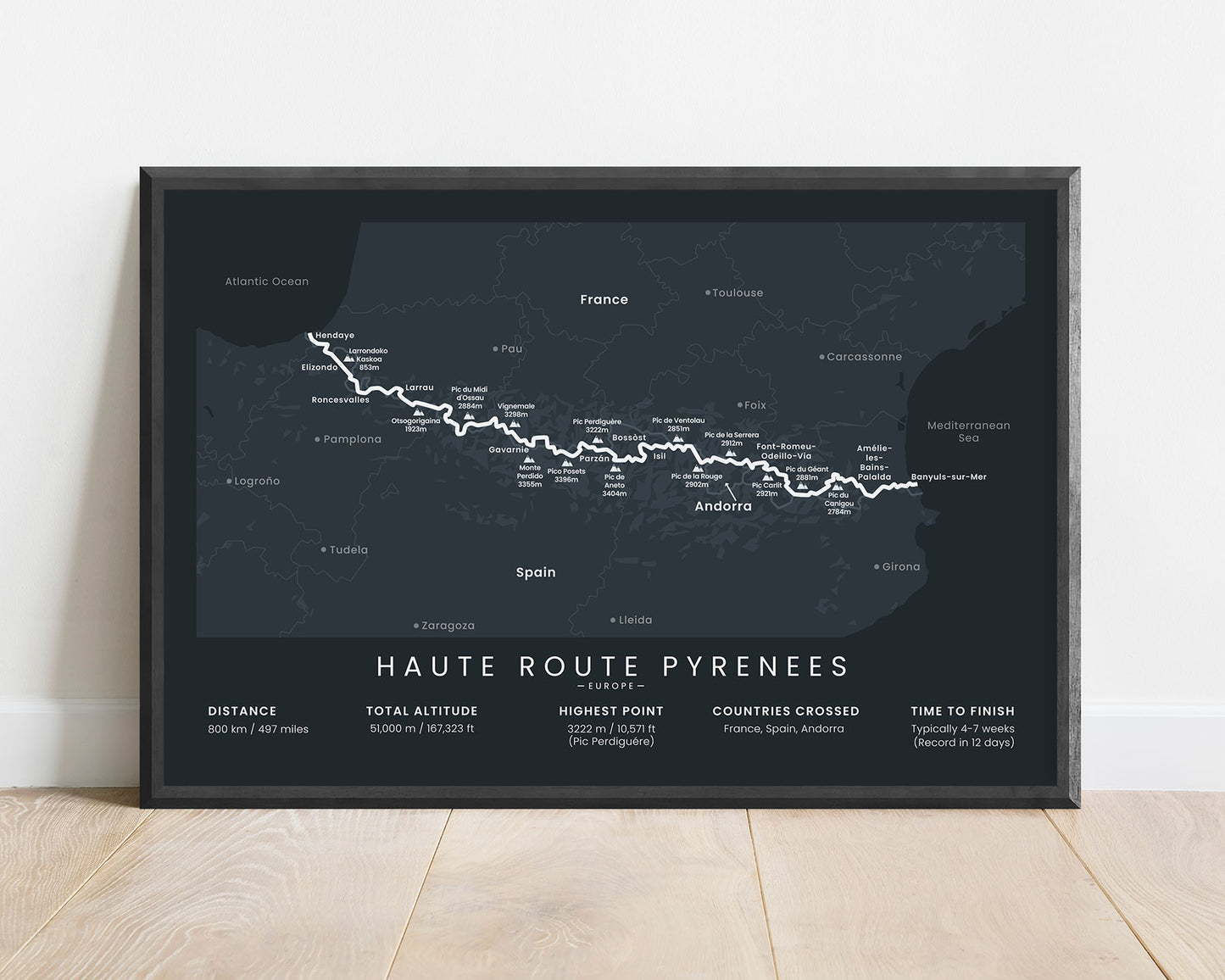
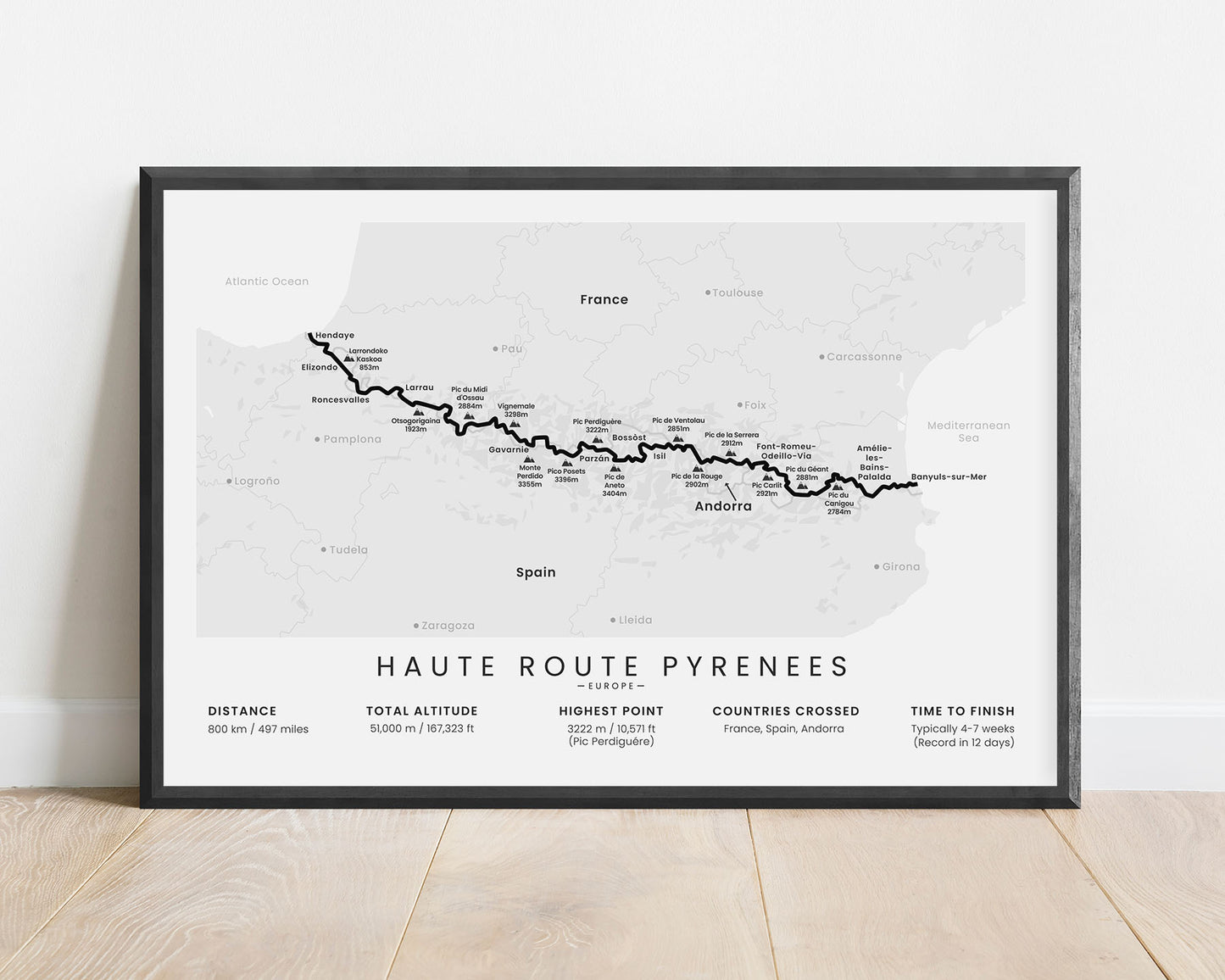
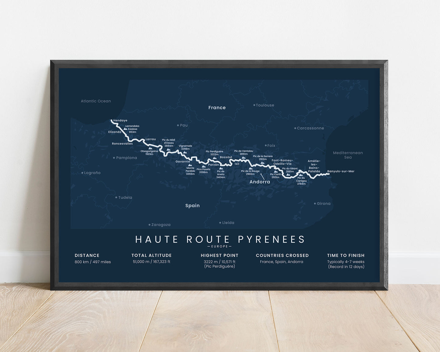
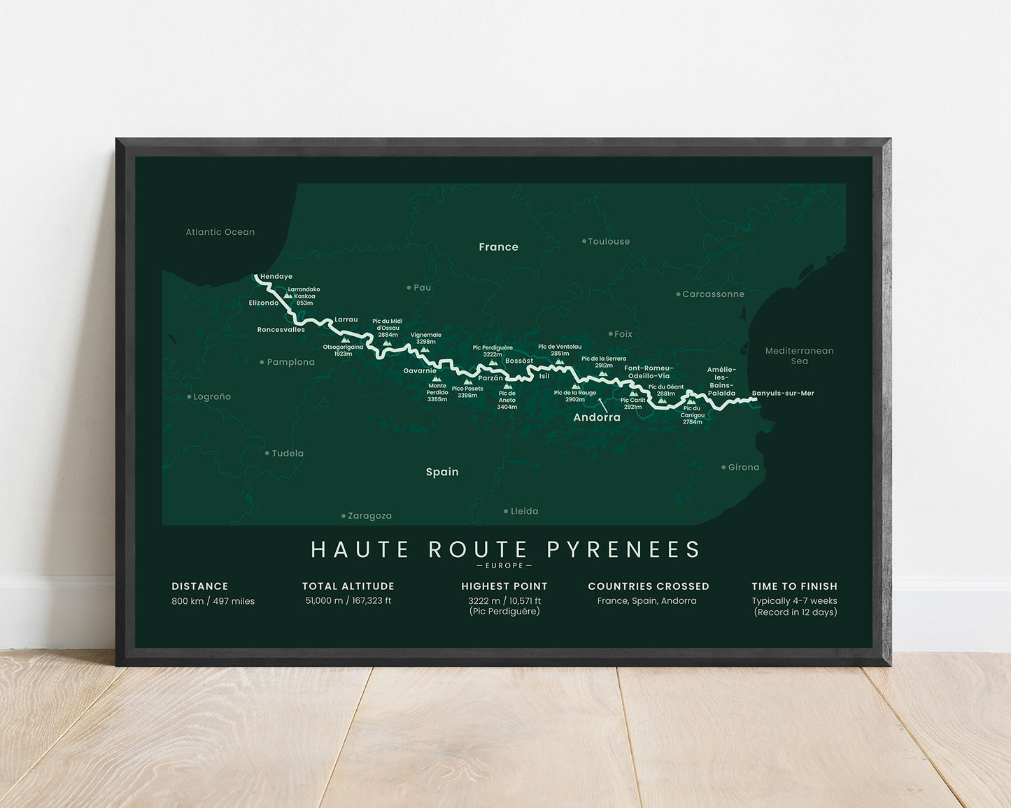
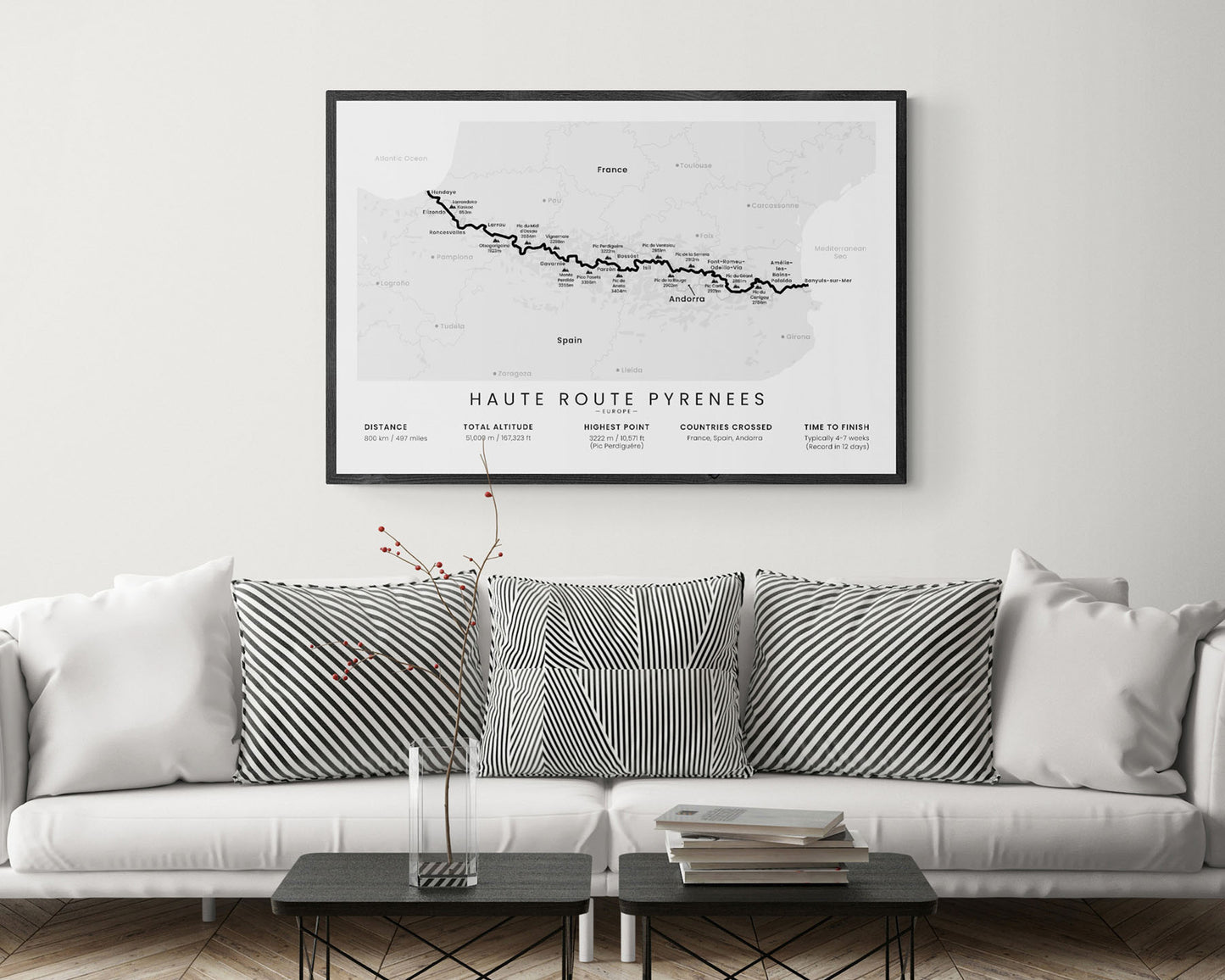
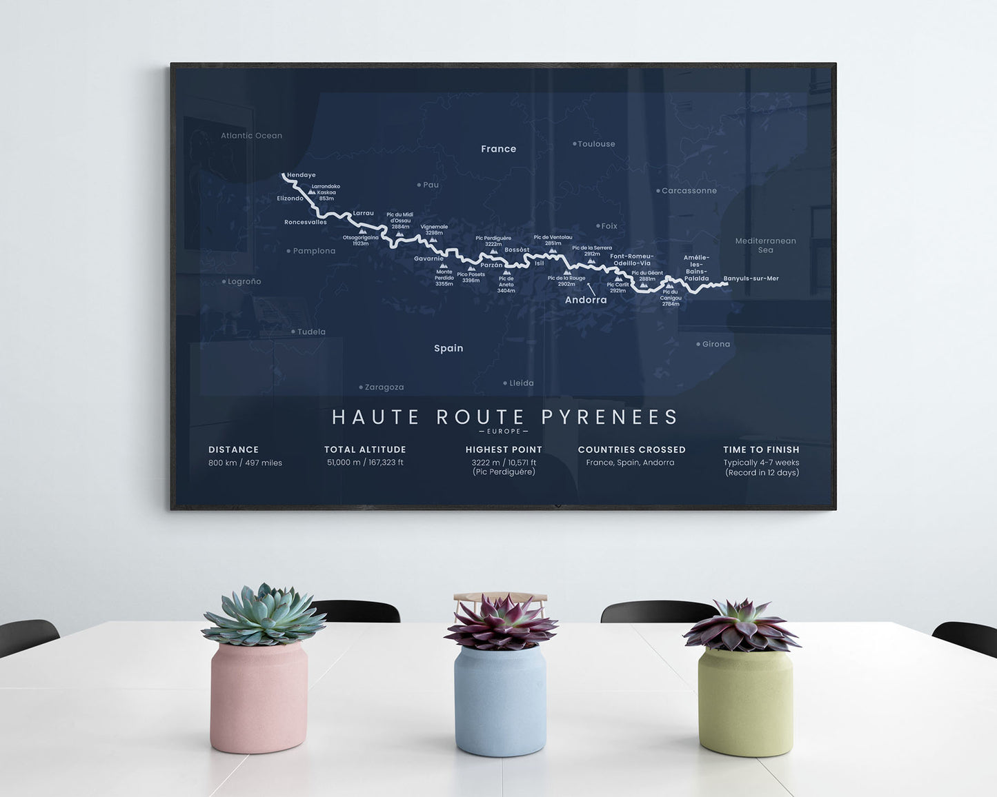

A poster that shows a minimalist map of the Haute Route Pyrenees hiking trail. It’s made in a minimalistic style to fit into most interiors and is offered in multiple different color options. It will be a unique gift to someone who has finished or wants to finish the HRP.
About the Haute Route Pyrenees Hiking Trail
The Haute Randonnée Pyrénéenne (other called the Pyrenean Haute Route or HRP) is a long-distance hike in Europe that crosses into Spain, France, and Andorra. It's very similar to the GR10 and GR11 hiking trails since it also crosses the Pyrenees from the Atlantic Ocean to the Mediterranean Sea. Specifically, it starts at Hendaye, France, at the Bay of Biscay, and ends at Banyuls-Sur-Mer, France, at the Mediterranean Sea. The HRP is considered to be one of the more difficult thru-hikes in Europe, since it goes along the main peaks and ridges of the Pyrenees mountain range, and isn't waymarked throughout. That said, it offers some of the most spectacular scenery in Europe, with high-untouched mountain ridges and peaks, alpine grasslands, white-water rivers, and wild fauna.
Statistics About the Haute Route Pyrenees Trek
- Start point: Hendaye, France
- End point: Banyuls-Sur-Mer, France
- Total distance: 497 miles / 800 km
- Total altitude gain/loss: 167 323 ft / 51 000 m
- Highest point: 10 571 ft / 3222 m (Pic Perdiguere)
- Countries crossed: France, Spain, Andorra
- Time to finish: Typically 4-7 weeks
- Record finish time: 12 days
- Best time to hike: June - September


