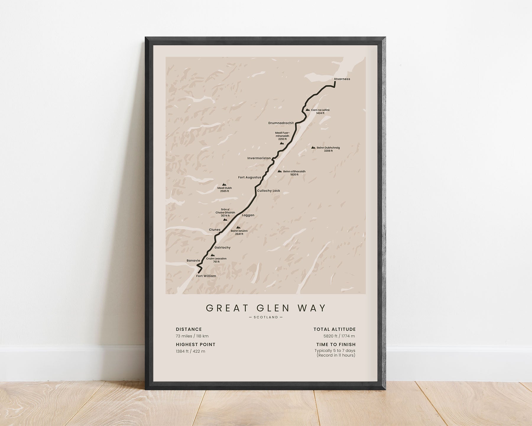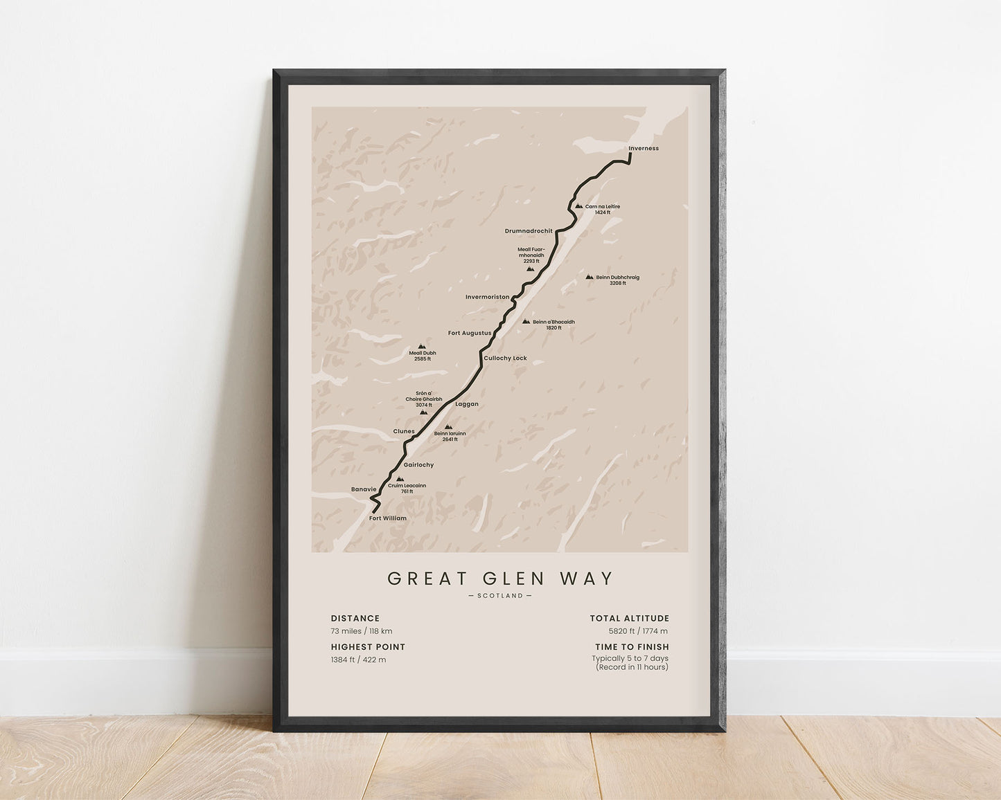
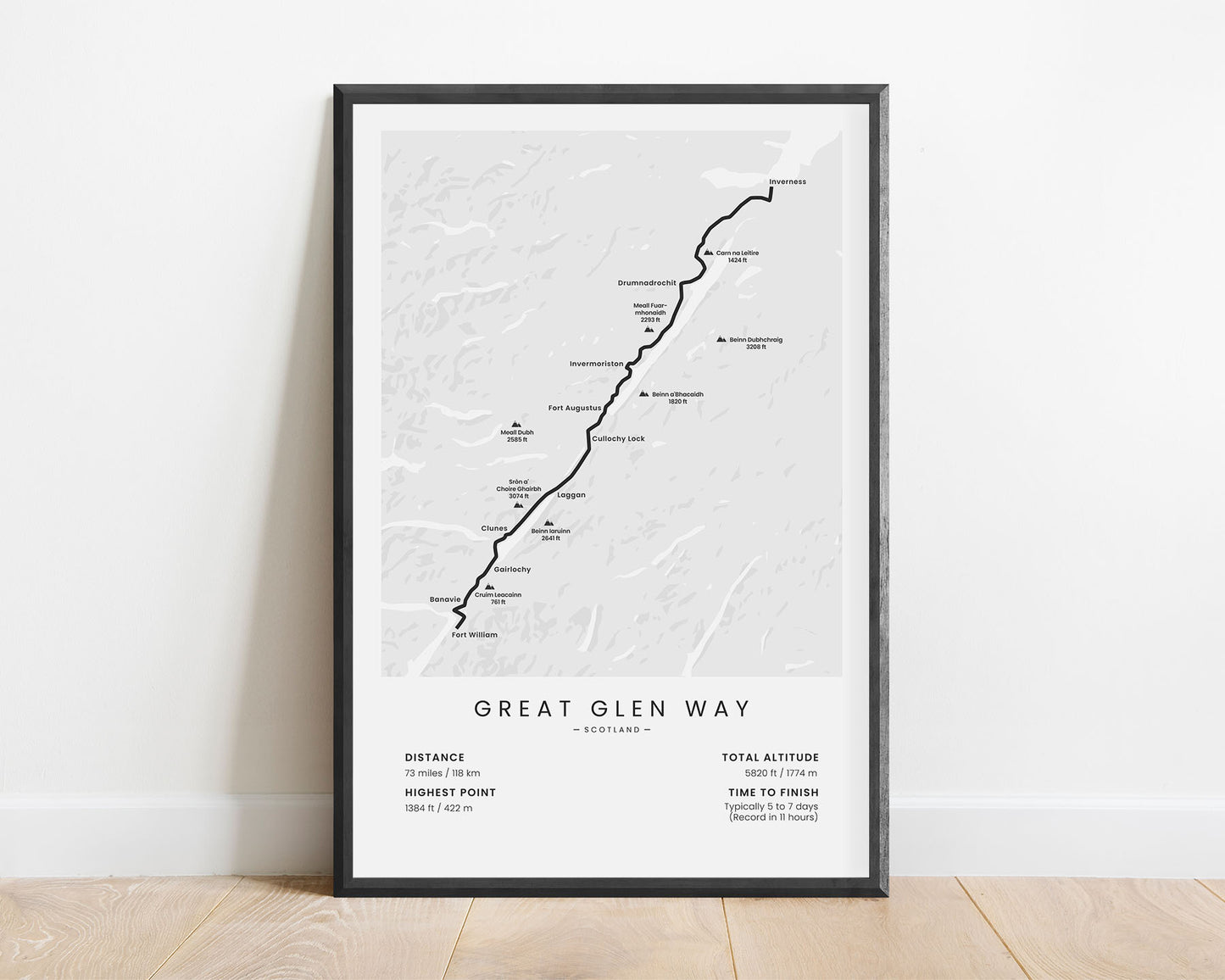
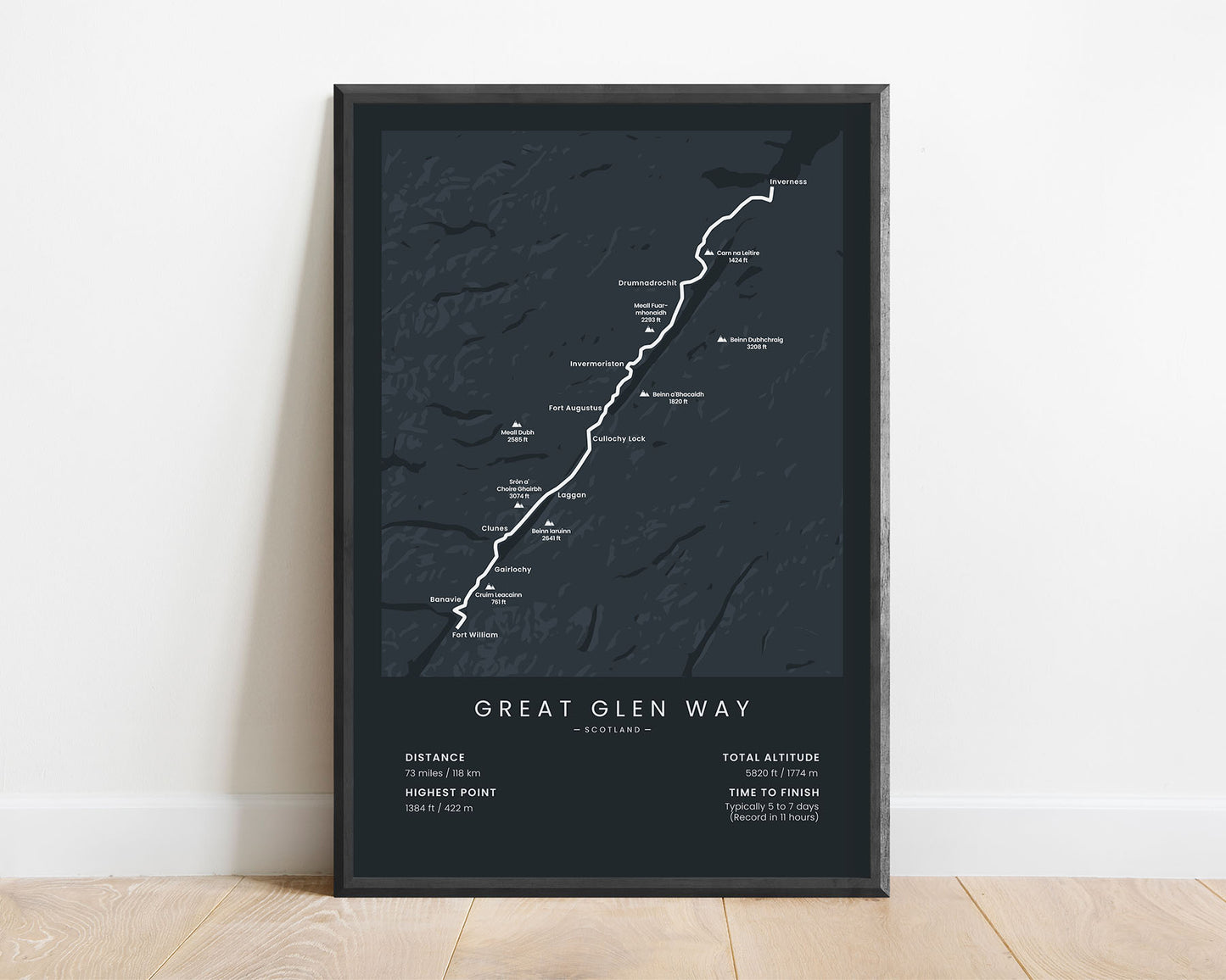
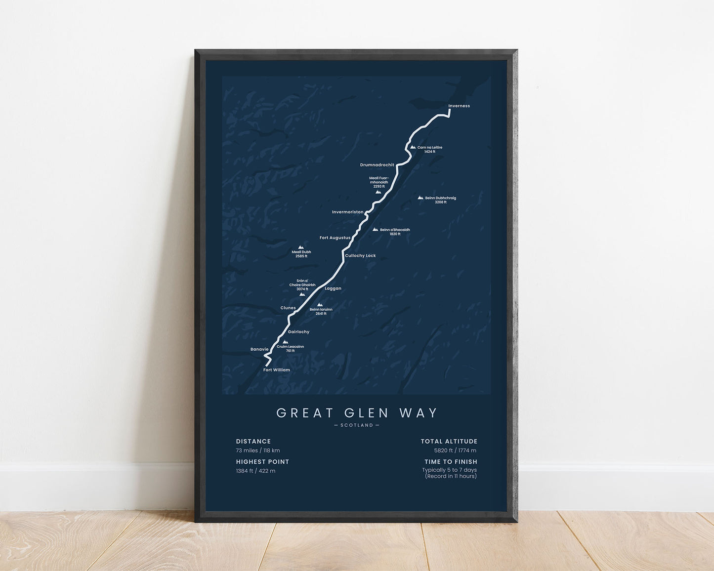
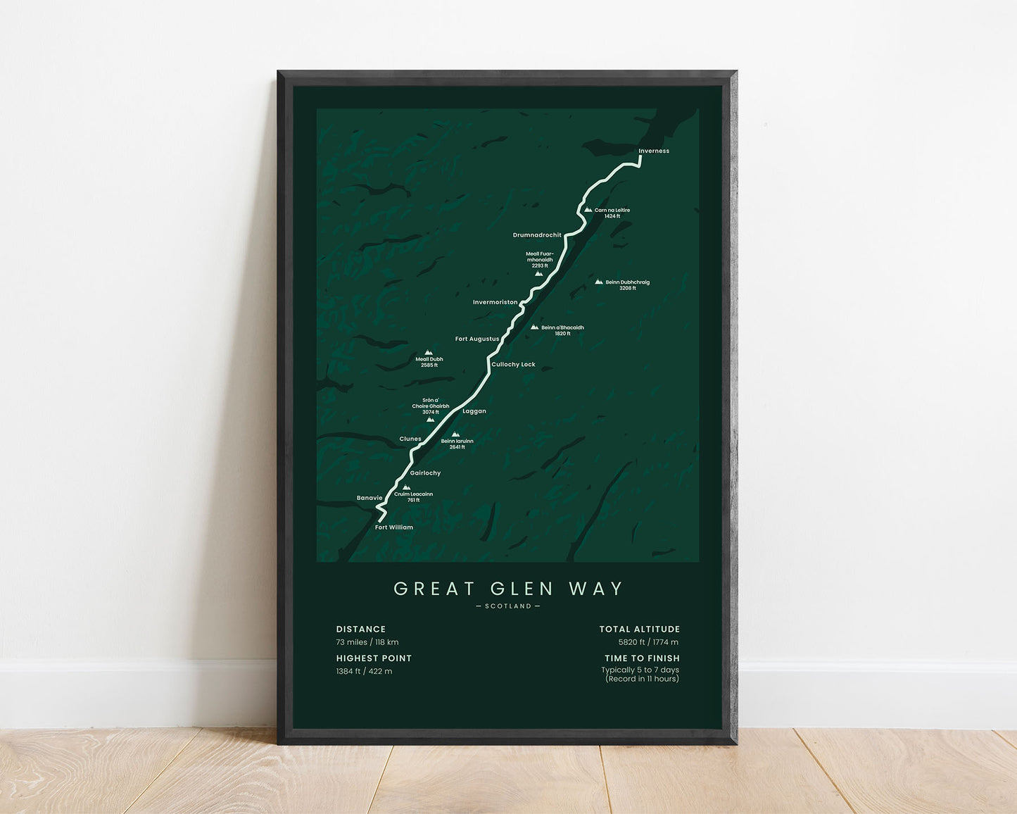


A poster that shows the Great Glen Way in the Scottish Highlands. This map shows the full route of the trail, important peaks and villages along the way, a rough topographical map of the area, and important statistics about the trail. It’s offered ins several different minimal color options to fit into most modern, minimal, and Scandinavian interiors.
About the Great Glen Way
The Great Glen Way is a popular long-distance hike in the Scottish Highlands. It follows a naturally flat line between Fort William and Inverness, which was used before as a trade route and to travel between the two cities, but since 2002, also contains a footpath. The Great Glen Way mostly consists of walking and cycling-only footpaths, but also some roads and forest trails. Because the elevation is relatively flat and the elevation gain is minimal, it's considered a fairly easy thru hike. During the trek, you'll be walking along multiple lakes, you'll encounter excellent views of the surrounding hills, and you'll experience a lot of wildlife. Another popular trail in the vicinity, which ends at Fort William, is the West Highland Way.
Statistics About the Great Glen Way
- Start point: Fort William, Scotland, England
- End point: Inverness, Scotland, England
- Total distance: 73 miles / 118 km
- Total altitude gain/loss: 5820 ft / 1774 m
- Highest point: 1384 ft / 422 m
- Countries crossed: Scotland, United Kingdom (England)
- National parks crossed: Scottish Highlands
- Time to finish: Typically 5-7 days
- Record: 11 hours
- Best time to hike: March - October

