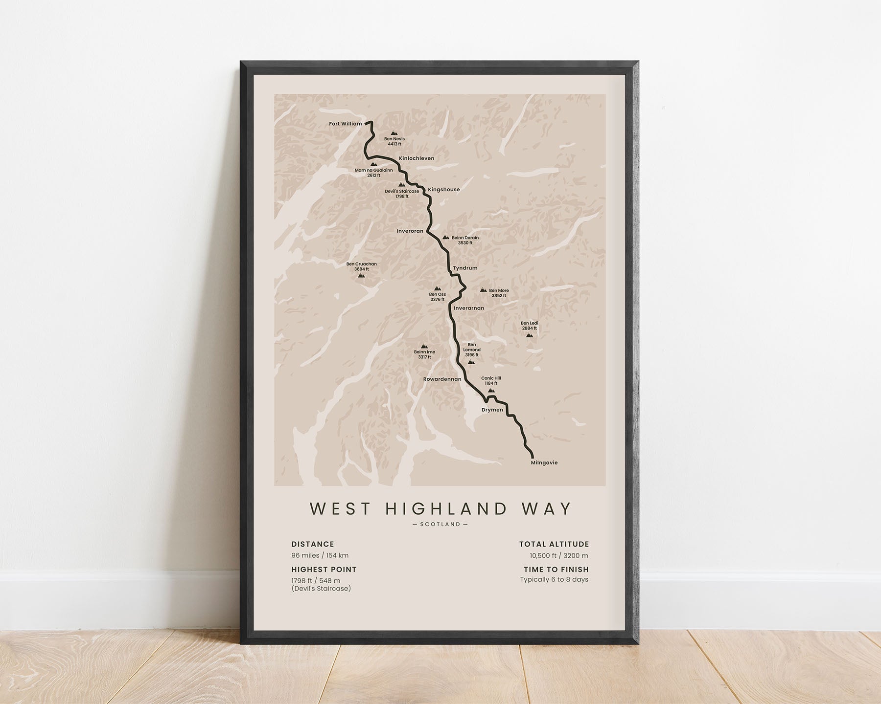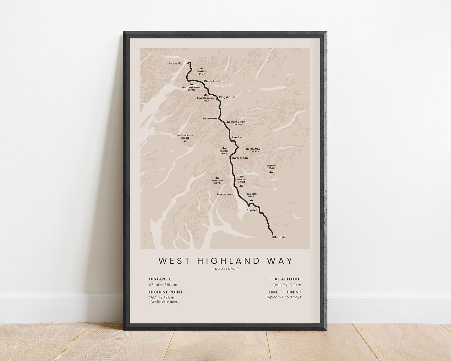
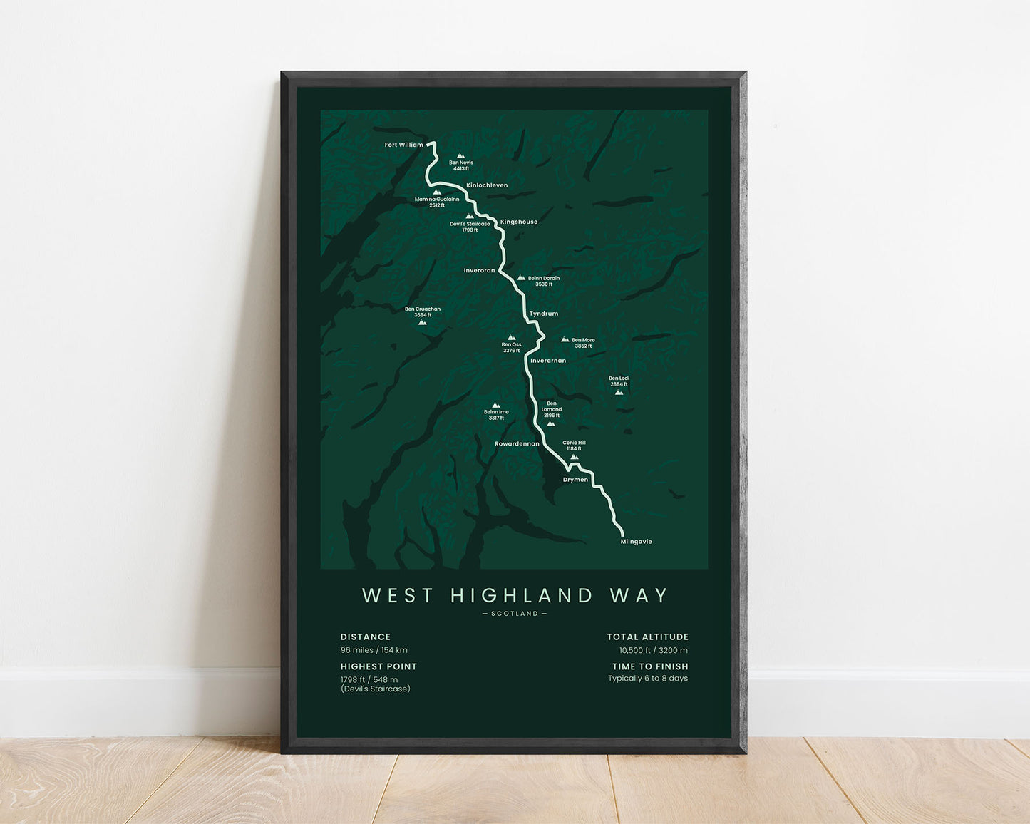
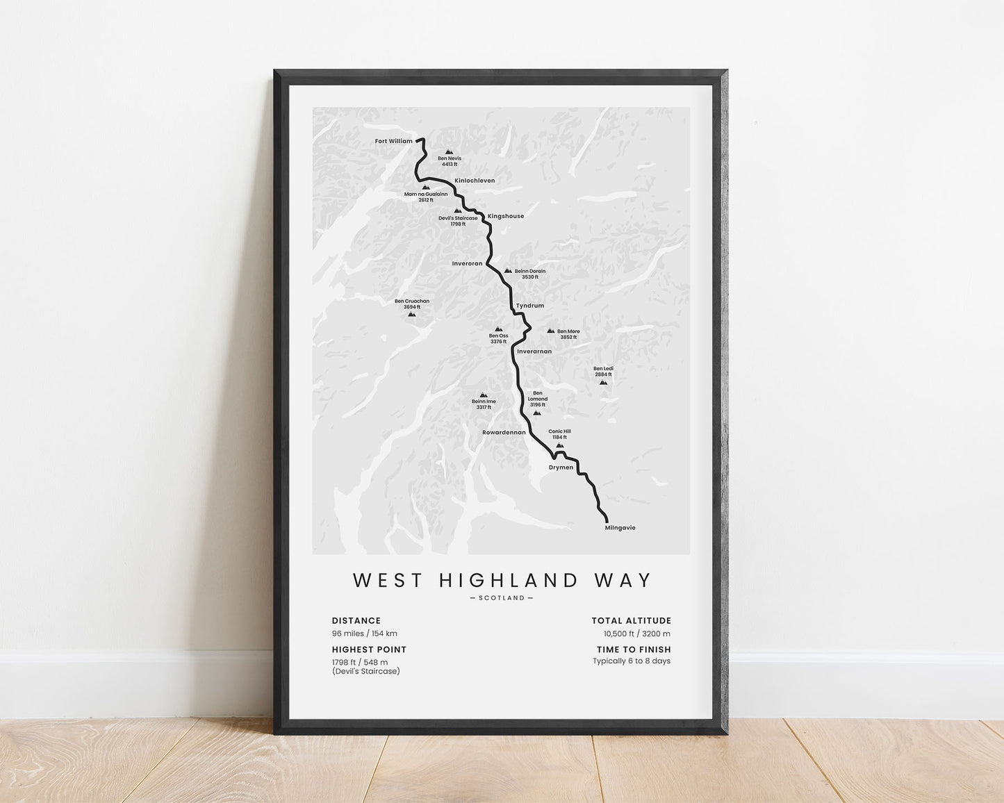
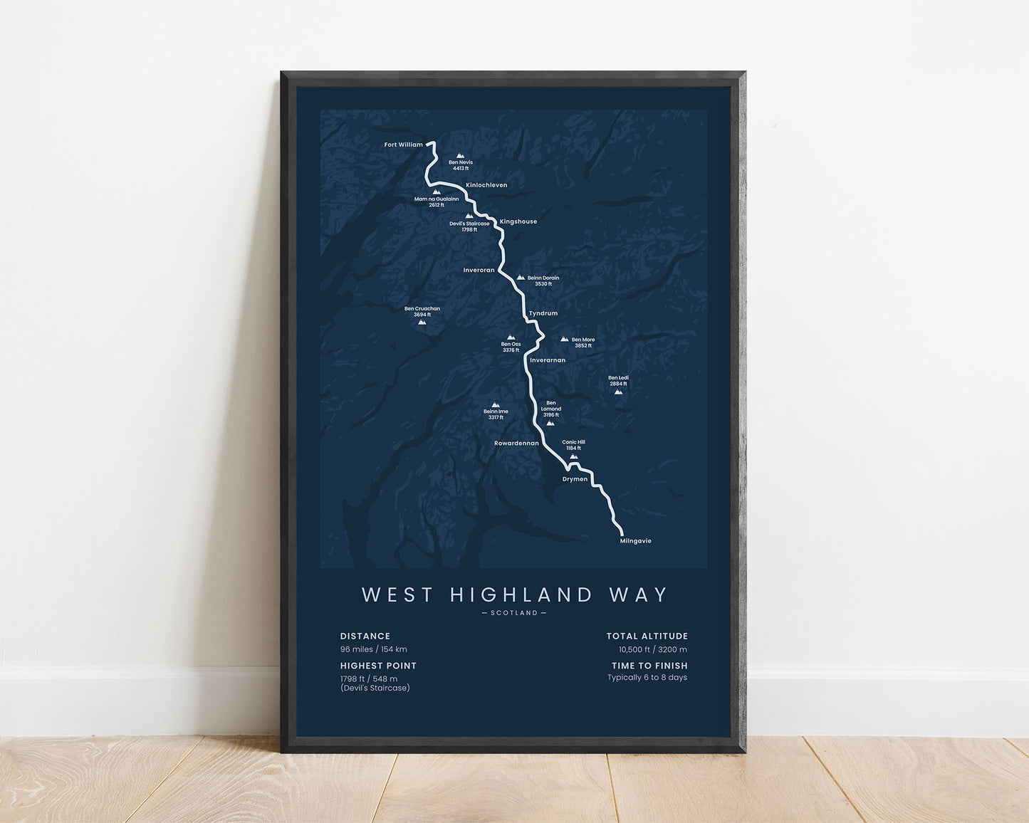
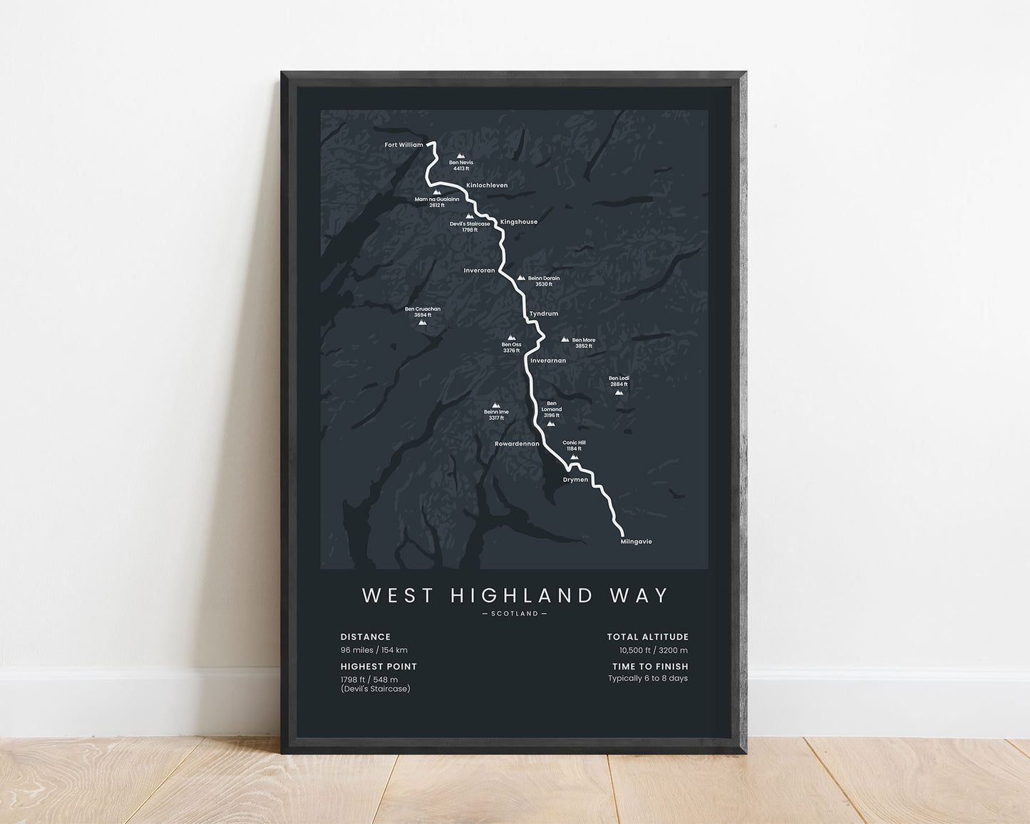

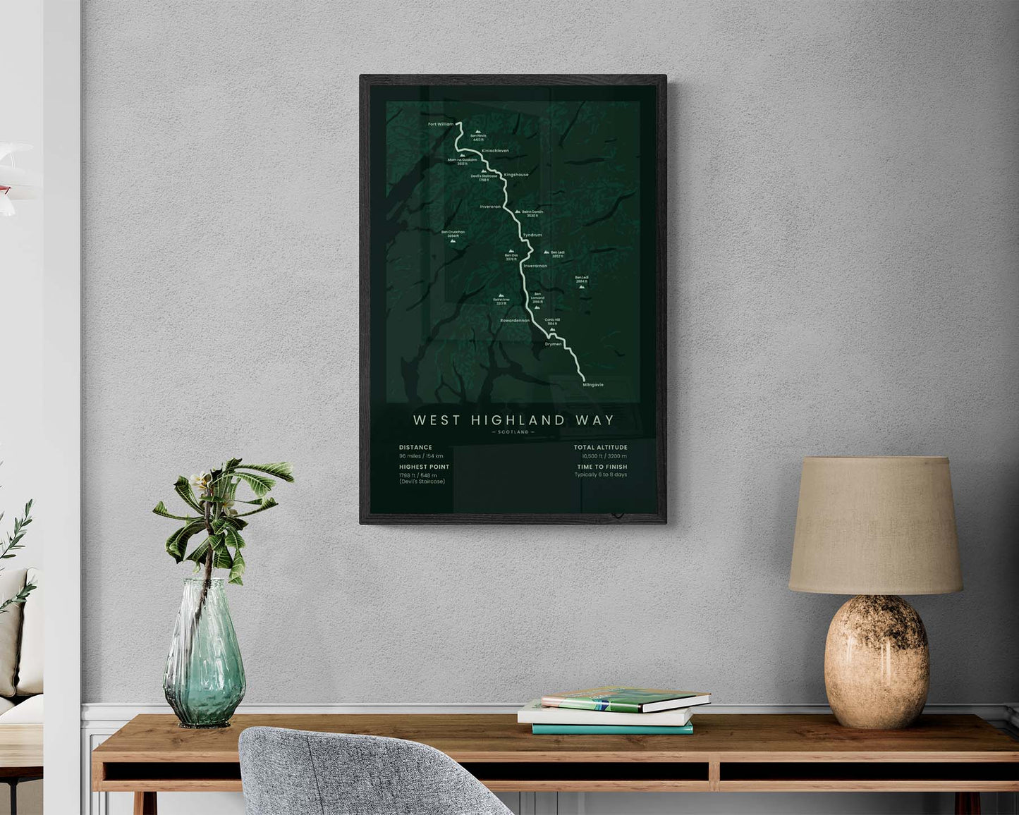

A map of the West Highland Way hiking trail. It shows the full route of the trail, main peaks, villages, and important statistics about the trail. If you have finished the West Highland Way, it will be a great addition to your home.
About the West Highland Way
The West Highland Way is one of the most popular thru-hikes in Scotland, United Kingdom. It goes from Milngavie to Fort William and is one of the first long-distance hikes in the United Kingdom. The West Highland Way allows you to experience the best of the Scottish Highlands, passing by Ben Nevis and other high Scottish mountains, countless lakes and rivers, wide grasslands, pastures, and lush forests. Other popular hiking trails in the Scottish Highlands include the Great Glen Way and the Skye Trail, although the West Highland Way is the most popular one.
Statistics About the West Highland Way
- Start point: Milngavie, Scotland
- End point: Fort William, Scotland
- Total distance: 96 miles / 154 km
- Total altitude gain/loss: 10 500 ft / 3200m
- Highest point: 1798 ft / 548 m (Devil's staircase)
- Countries crossed: The United Kingdom (Scotland)
- Time to finish: Typically 6 to 8 days
- Best time to hike: April - October

