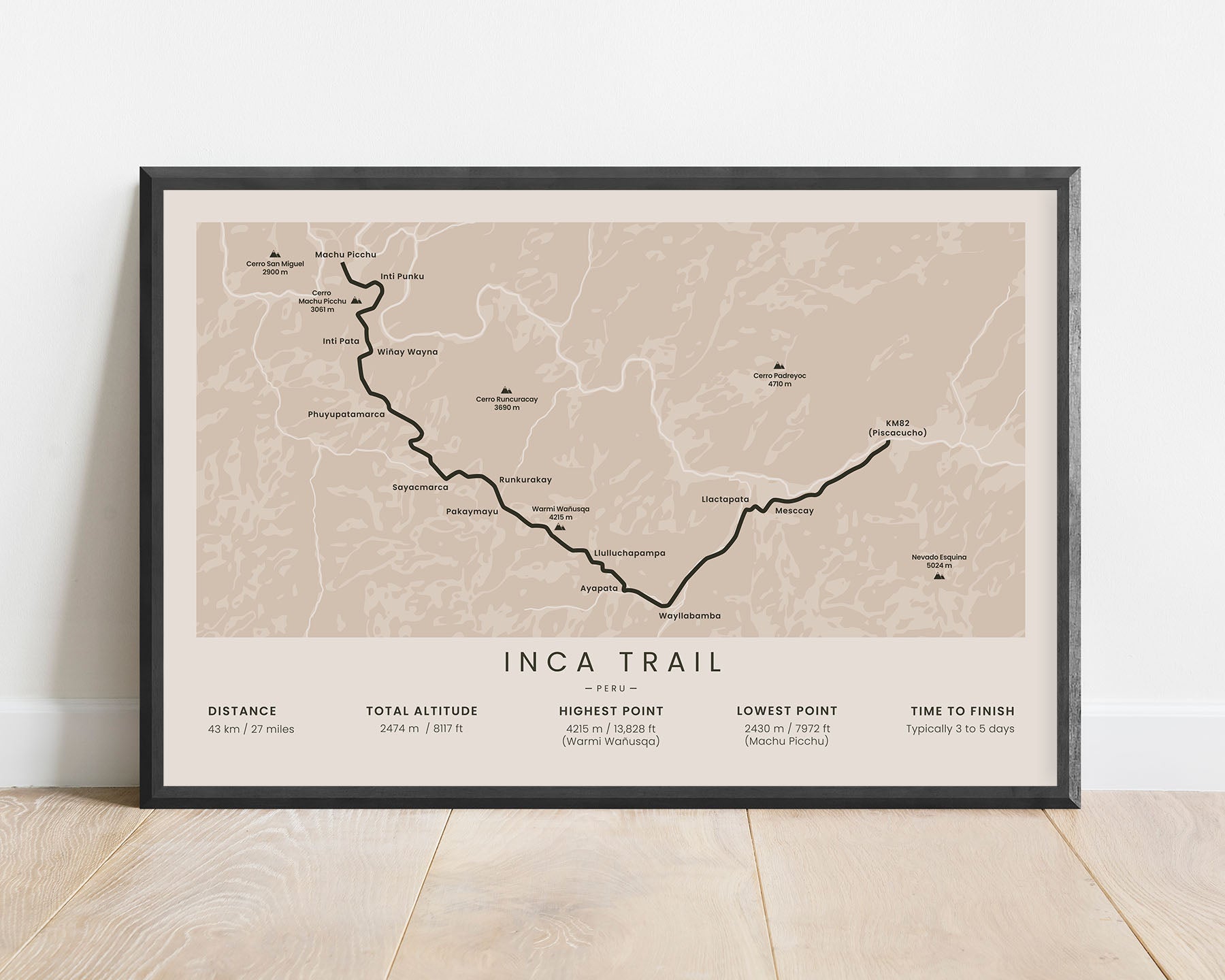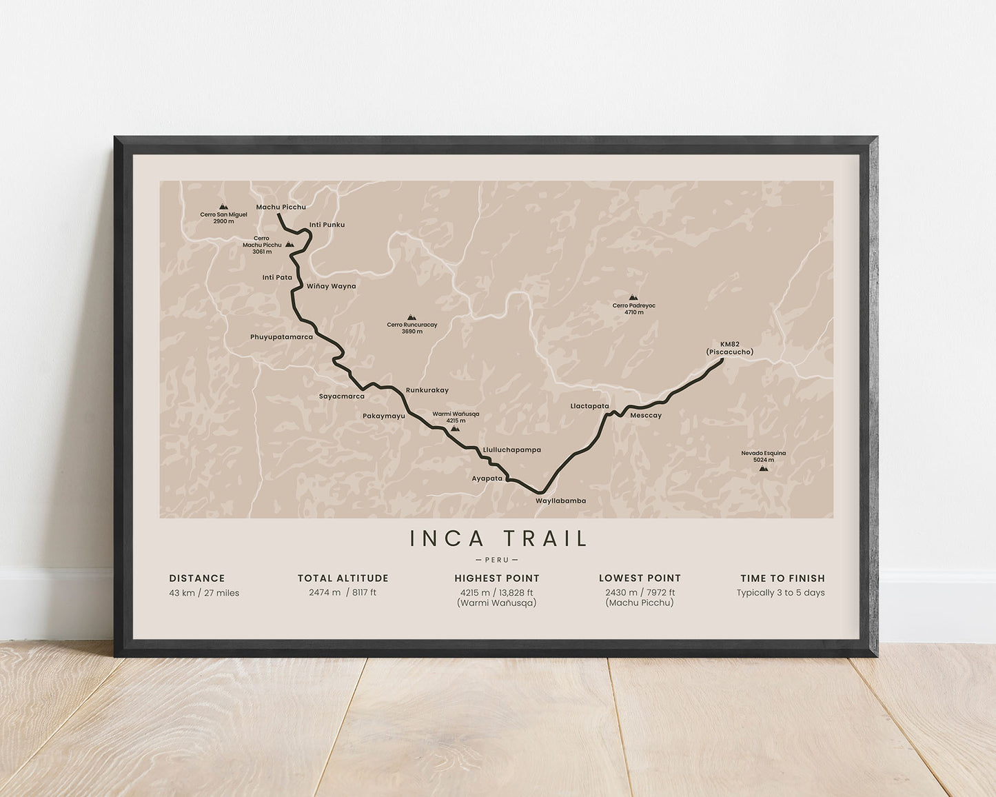
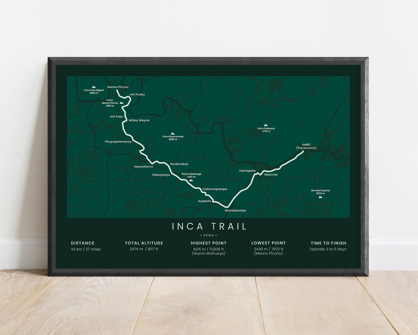
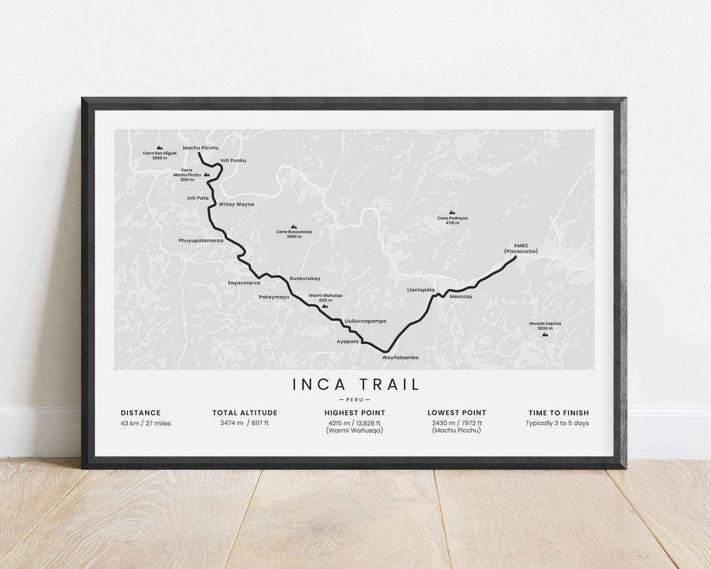
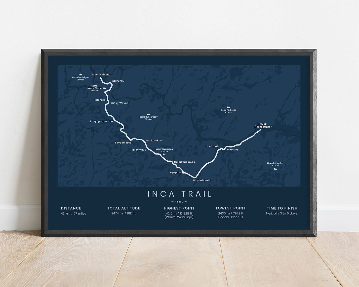
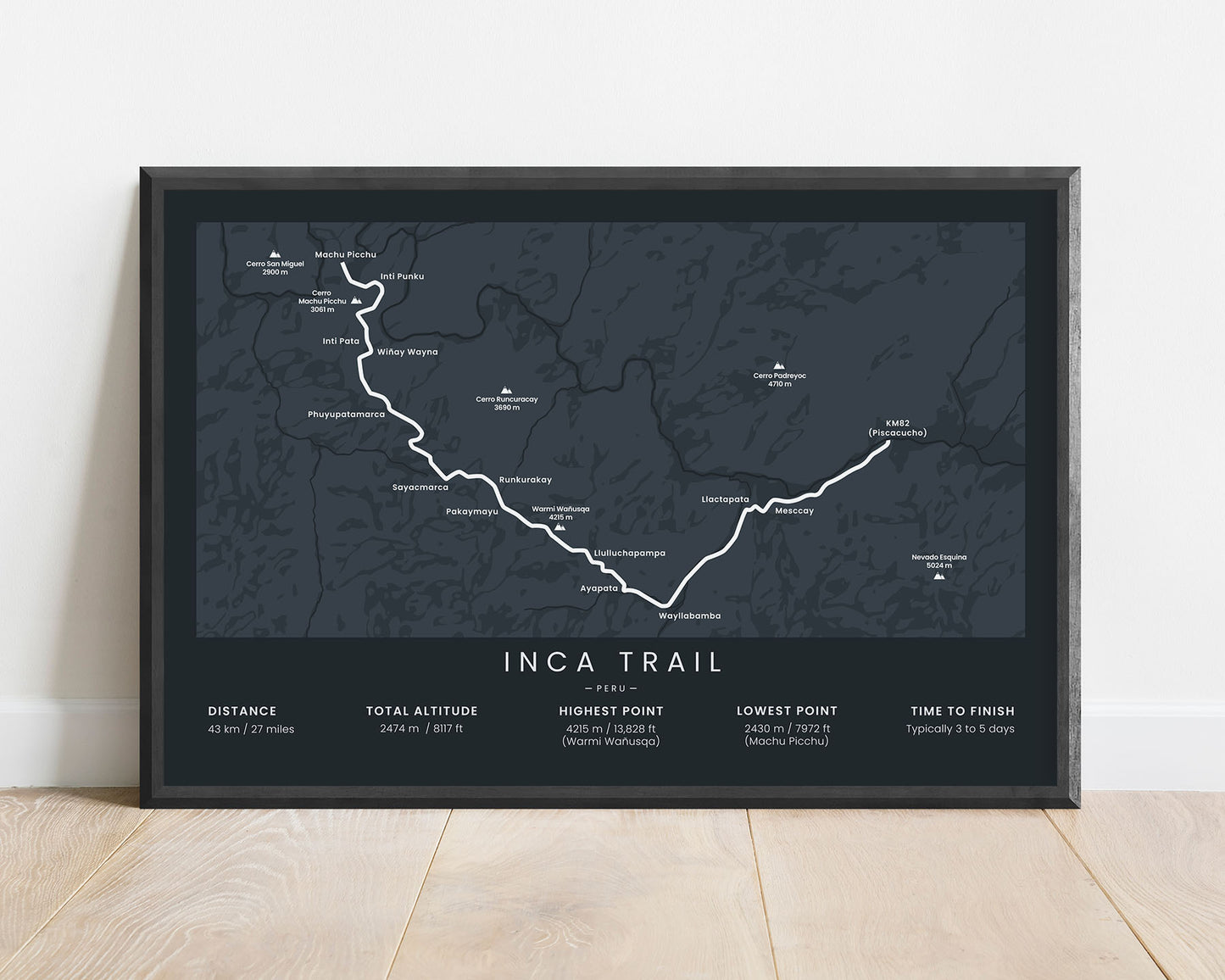


A minimalist map of the Inca Trail to Machu Picchu. This poster includes the full route of the trek, important villages and mountains, and essential statistics about the trail. If you’ve completed the Inca trail or you have it on your bucket list, this print will be a great addition to your home. You’ll also find plenty of color and size options to choose from, so you can customize it to your own needs.
About the Inca Trail to Machu Picchu
The Inca Trail to Machu Picchu (other known as Camino Inca or Camino Inka), is the most popular route that goes up to the world-famous Machu Picchu, located in Peru, South America. Another popular option is the Salkanty Trek, which is a good option if you want to avoid the tourist crowds a bit more or if you can't obtain a permit. Machu Picchu is the main symbol of the lost Inca Empire, located on a beautiful ridge surrounded by steep and lush mountains, and the only way to get up there is to traverse a hiking trail. Along the Inca Trail, you'll find many relics of the past from the Incan times, including many ruins and tunnels, in addition to beautiful, tropical mountain scenery. Although it's only 27 miles long, it has a lot to offer, and it's considered to be one of the most beautiful hikes in the world.
Statistics About the Inca Trail
- Start point: Kilometer 82, Peru
- End point: Machu Picchu, Peru
- Total distance: 27 miles / 43 km
- Total altitude gain/loss: 8117 ft / 2474 m
- Highest point: 13 828 ft / 4215 m (Warmi Wanusqa)
- Countries crossed: Peru
- Time to finish: Typically 3 to 5 days
- Best time to hike: May - September

