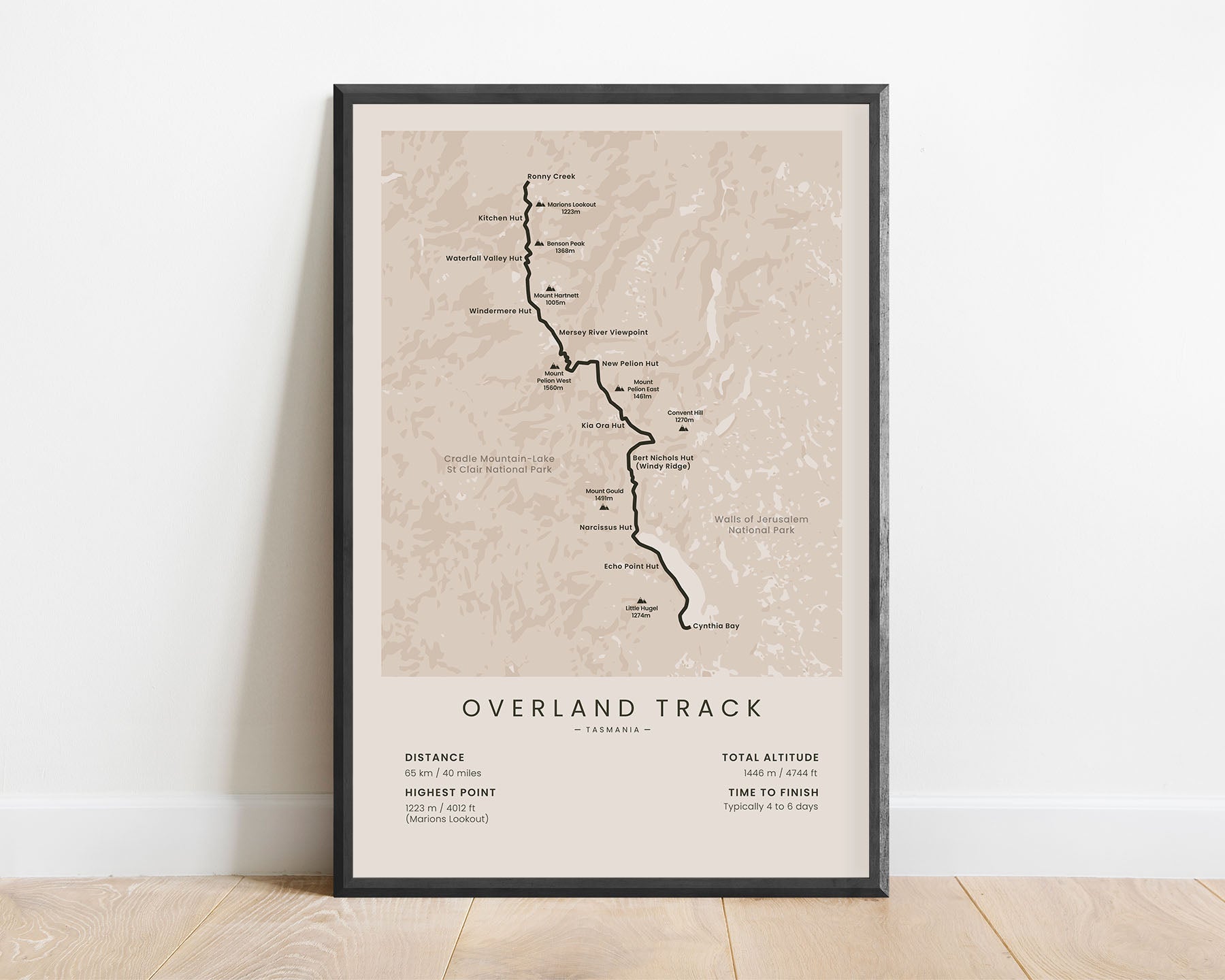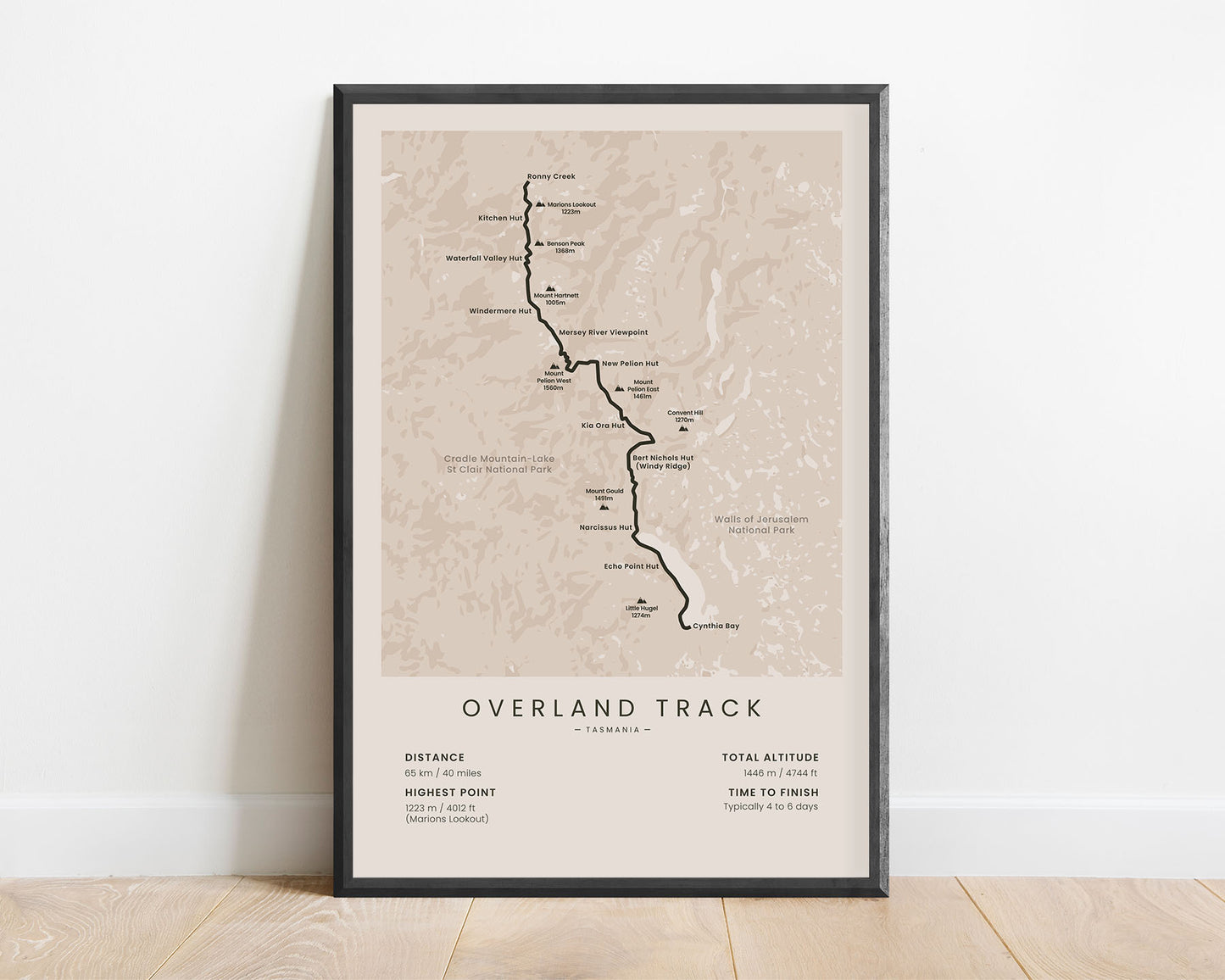
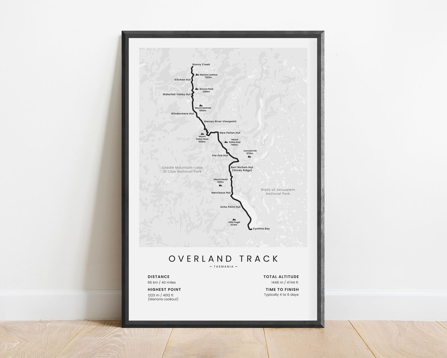
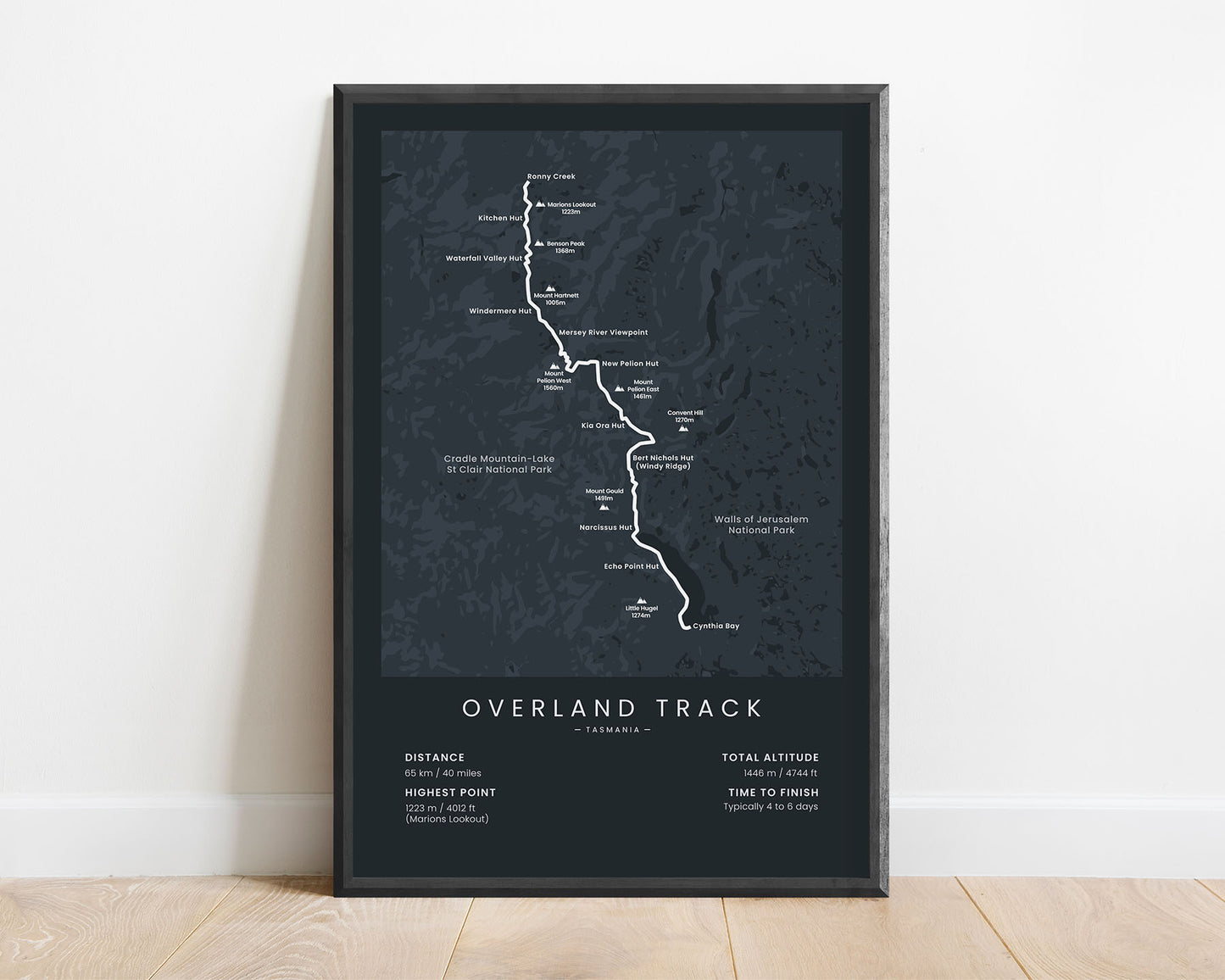
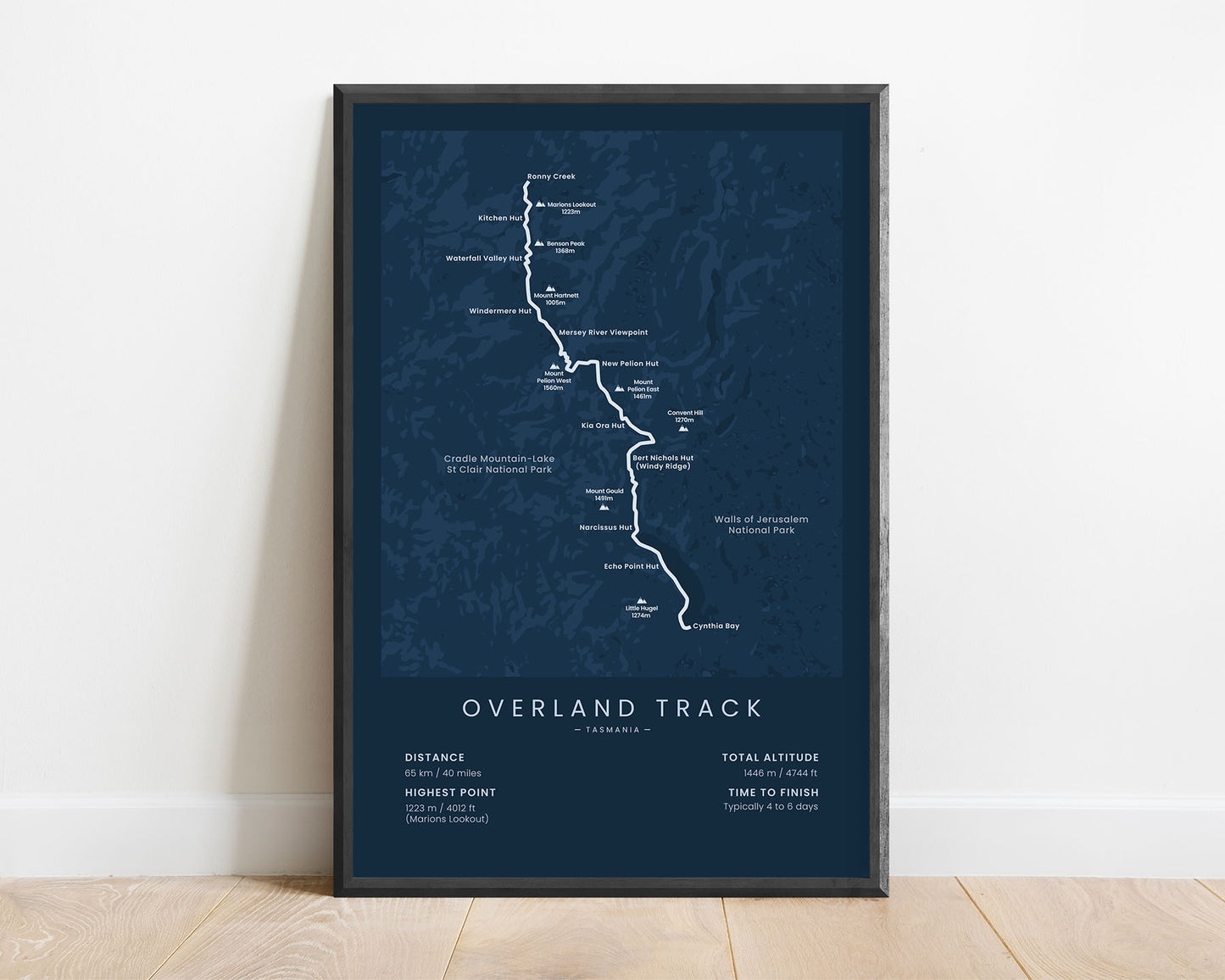
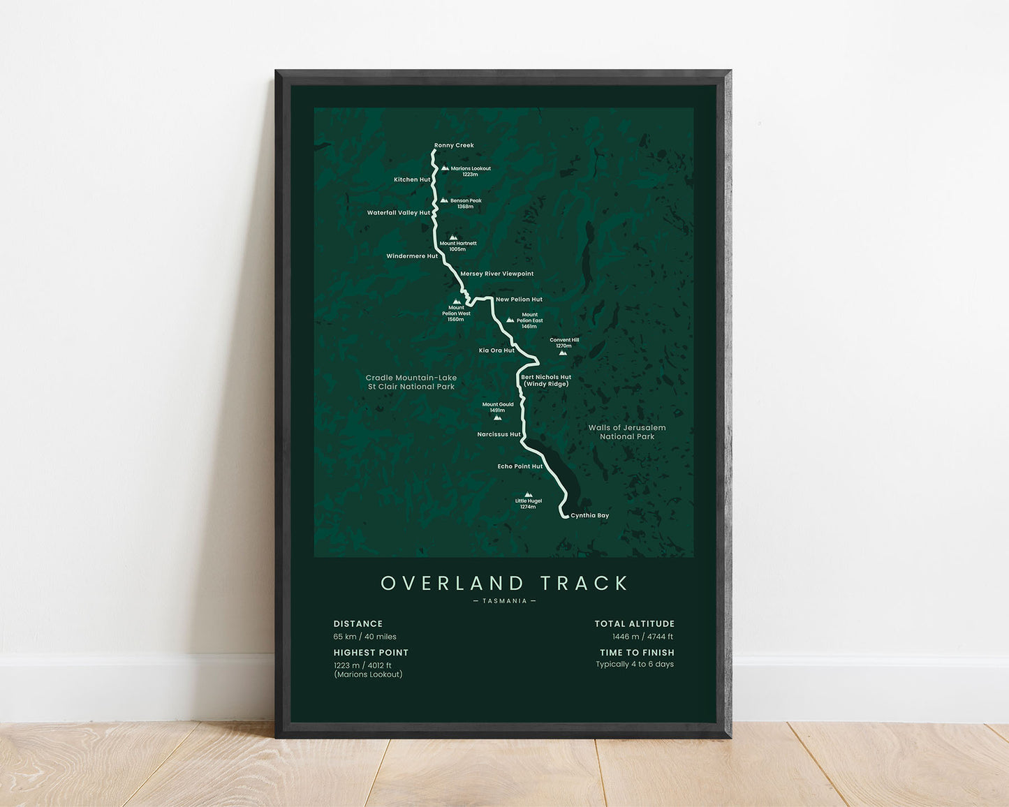


A minimalist map of the Overland Track hiking trail in Australia. This poster shows the full route of the trail, huts and mountain peaks adjacent to the trail, a rough topographical overview of the area, and important statistics about the trail. This print is offered in multiple different color and size options, so you can choose one that perfectly fits your own home.
About the Overland Track
The Overland Track is one of the most popular hiking trails in Tasmania and Australia. It takes you 65 km through the alpine region of the Cradle Mountain-Lake St Clair National Park, starting at Ronny Creek and ending at Cynthia Bay, Lake St Clair. It's a fairly difficult hike because most of the track goes through alpine ridges and valleys, the weather there can change very quickly, and the total elevation gain is somewhat high. Along the way, you'll see spectacular views of the surrounding mountains, several waterfalls, lakes, and plenty of wildlife. Other similar treks in Australia include the Main Range Walk in the Snowy Mountains and the Larapinta Trail.
Statistics About the Overland Track
- Start point: Ronny Creek, Cradle Mountain National Park, Tasmania, Australia
- End Point: Cynthia Bay, Lake St Clair, Tasmania, Australia
- Total distance: 65 km / 40 miles
- Total altitude gain/loss: 1446 m / 4744 ft
- Highest point: 1223 m / 4102 ft (Marions Lookout)
- Time to finish: Usually 4-6 days
- Best time to hike: December - April

