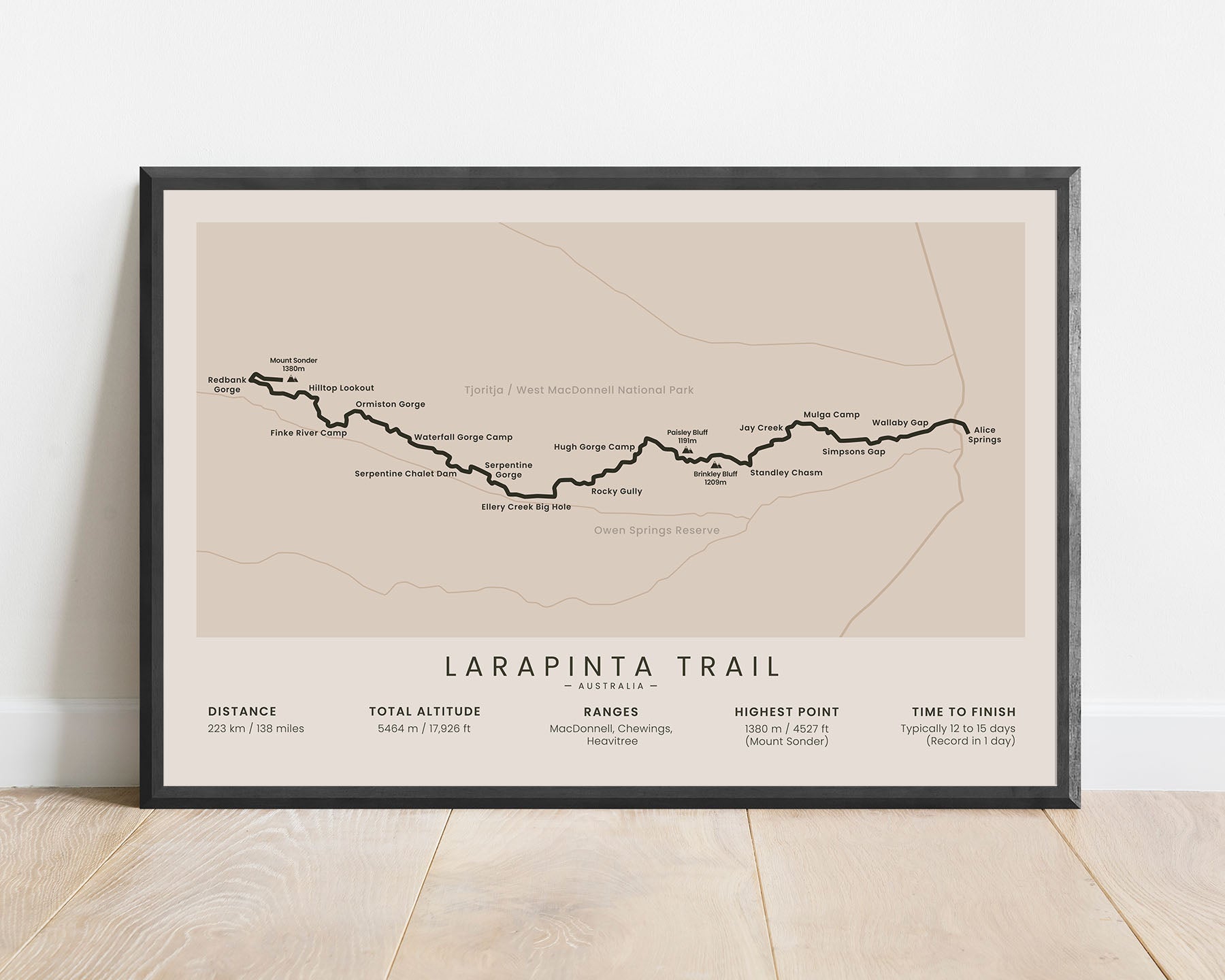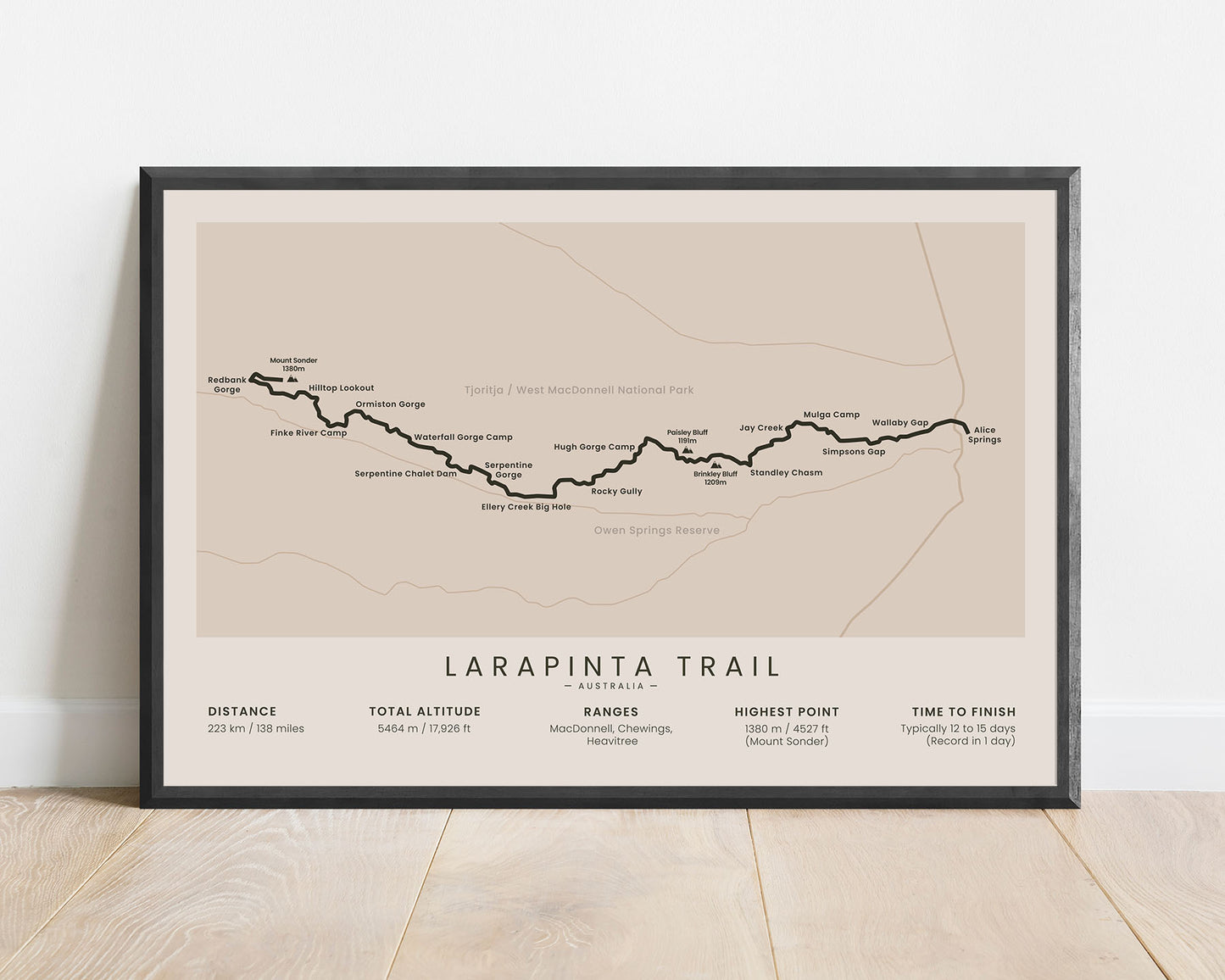
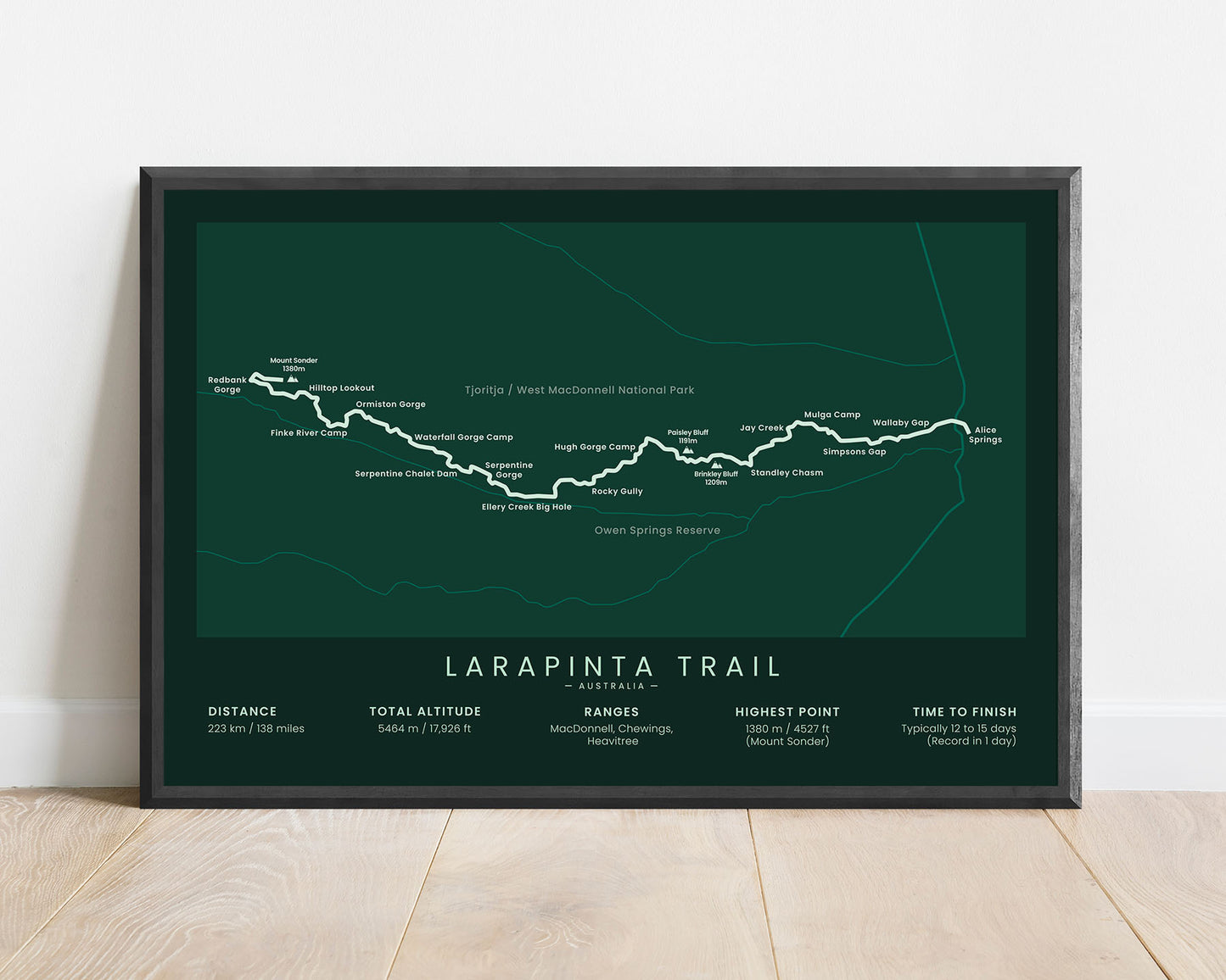
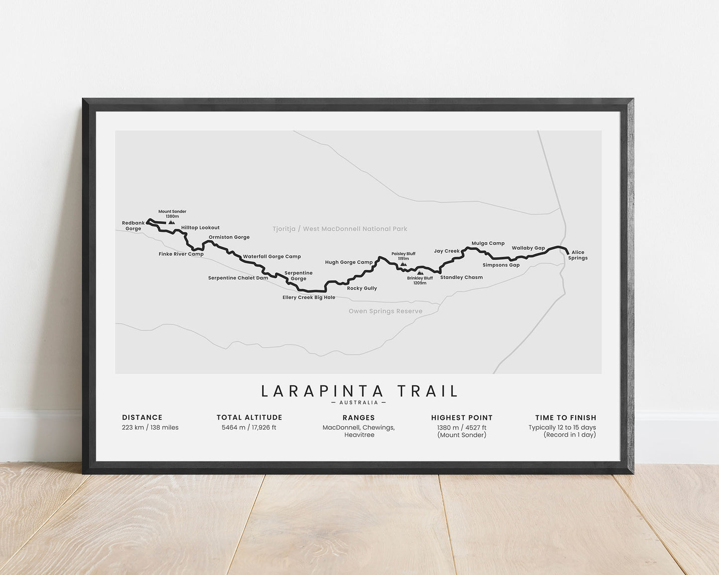
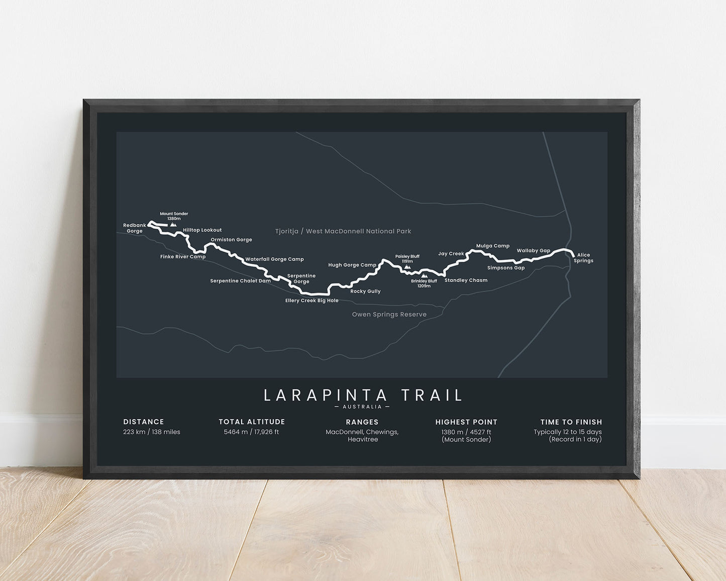
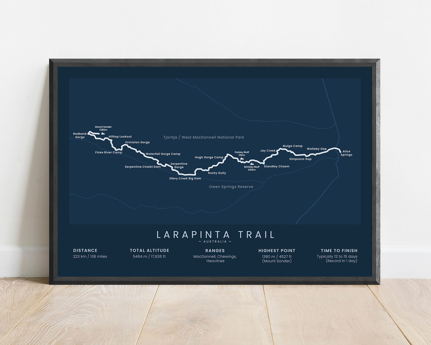


A poster that shows the map of the Larapinta Trail in Australia. It displays the full route of the trek, the main villages along the way, the highest peaks, and other points of interest. At the bottom, it also includes important statistics about the trail, like the total distance, elevation gain, and more. It’s made in a minimal style and offered in various different color options to fit into most modern interiors.
About the Larapinta Trail
The Larapinta Trail is one of Australia's most popular hiking trails, along with the Overland Track and the Cape to Cape Walk. It goes through the mountainous region of the West MacDonnell National Park, starting at Alice Springs and ending at Mount Sonder - one of the highest peaks in the region. It's just over 200 km long, but can also be hiked in sections, which can easily be accessed by 4x4s. The Larapinta Trail offers excellent views of arid lands - dry hills, interesting rock formations, dry woods, and steep canyons, which explains why it's often recommended as one of the best long-distance hikes in not only Australia but the world as well.
Statistics About the Larapinta Trail
- Start point: Alice Springs, Australia
- End Point: Mount Sonder, Australia
- Total distance: 138 miles / 223 km
- Total altitude gain/loss: 17 926 ft / 5464 m
- Highest point: 4527 ft / 1380 m (Mount Sonder)
- Time to finish: Usually 12-15 days
- Best time to hike: June - August

