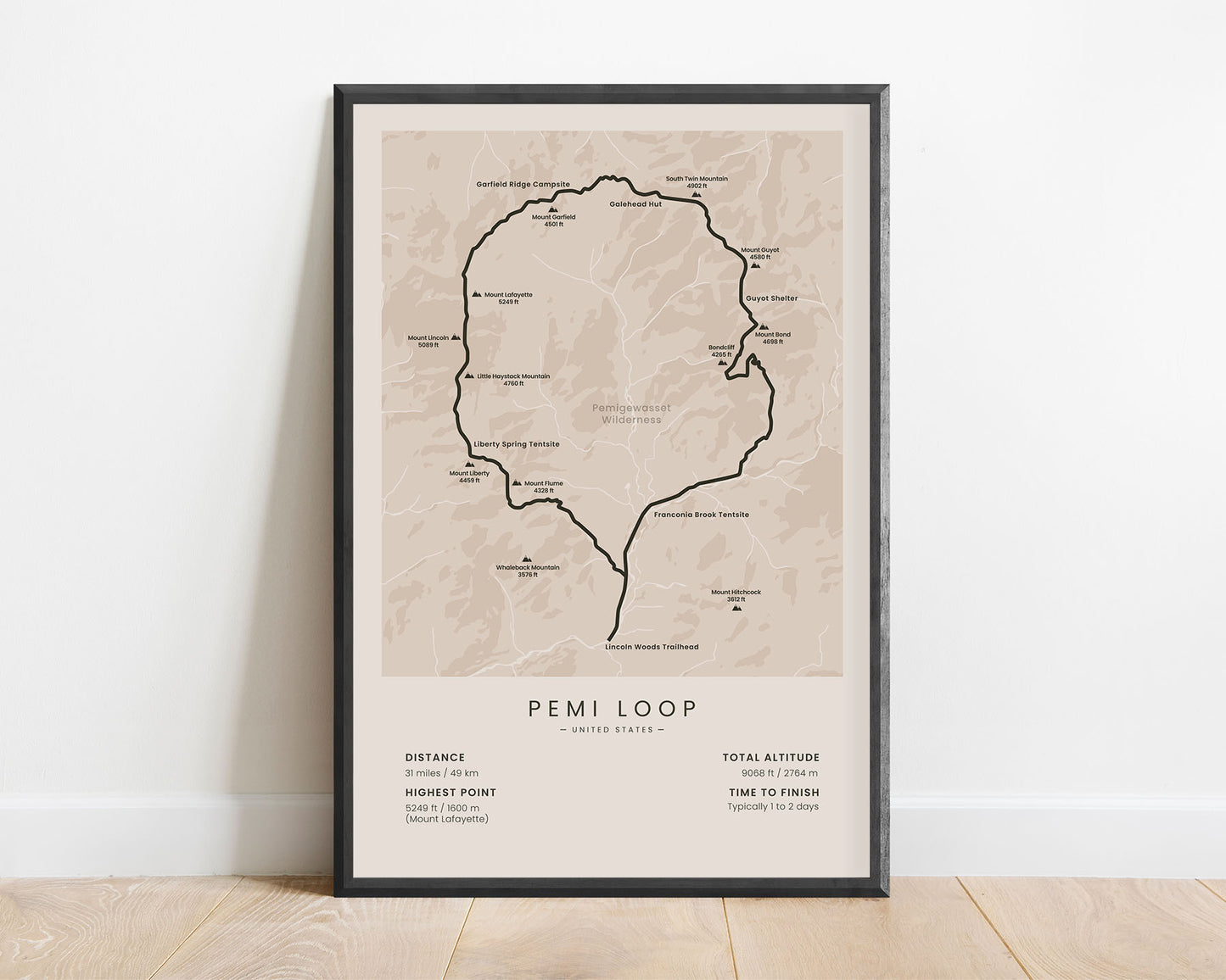
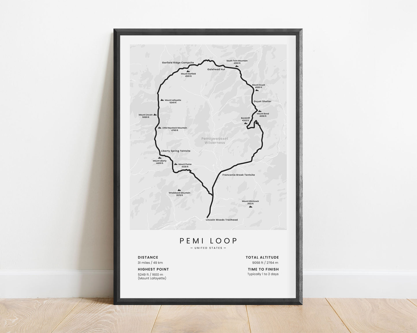

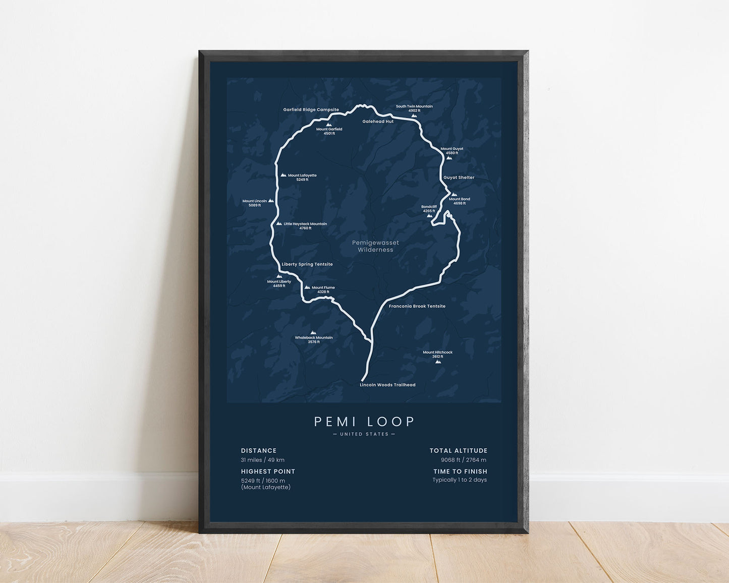
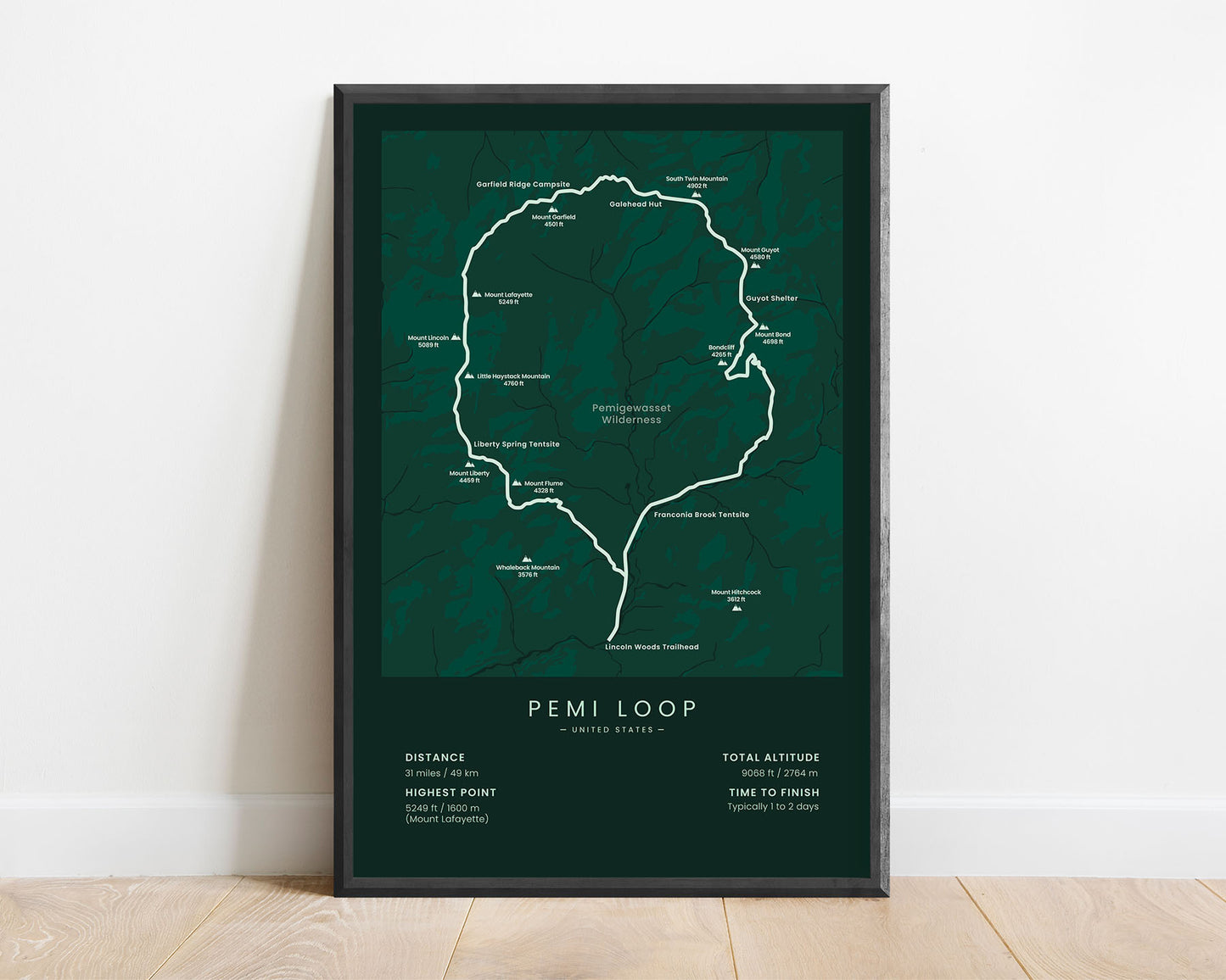


A minimalist print of the Pemi Loop in the White Mountains, New Hampshire. It shows the entire map of this hike, the highest mountain peaks, and other points of interest along the way. At the bottom, it also shows important statistics about the trail. If you’ve finished this hike or you know someone else who has, then this poster will be a unique gift to remember this adventure.
About the Pemi Loop
The Pemi Loop (other called the Pemigewasset Loop) is a loop trail in the Pemigewasset Wilderness, New Hampshire. It loops 31 miles through the White Mountains, and during the hike, you'll see many of the region's highest peaks, walk through thick pine tree forests, walk along steep, rocky cliffs, and encounter plenty of wildlife. In terms of difficulty, it's meant only for experienced hikers because it has a fairly high elevation gain, and you often have to scramble through rocks or roots. Another popular hike in the White Mountains is the Presidential Traverse.
Statistics About the Pemi Loop
- Total distance: 31 miles / 49 km
- Total altitude gain/loss: 9068 ft / 2764 m
- Highest point: 5249 ft / 1600 m (Mount Lafayette)
- Time to finish: Typically 1-2 days
- Points of Interest: Pemigewasset Wilderness, White Mountains
- States crossed: New Hampshire (United States)
- Best time to hike: May - October


