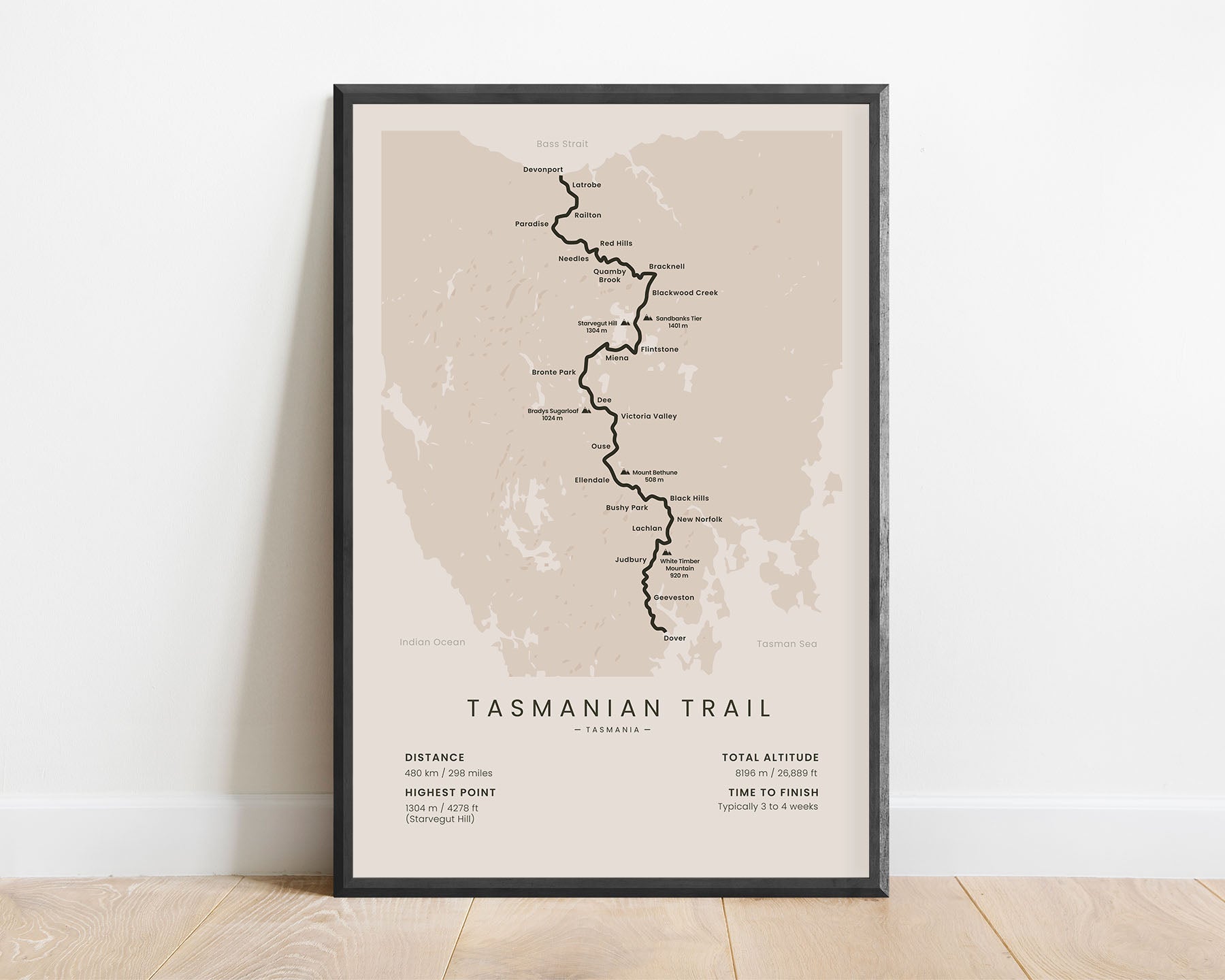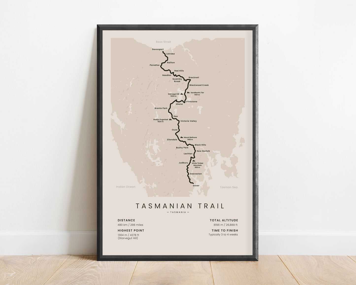
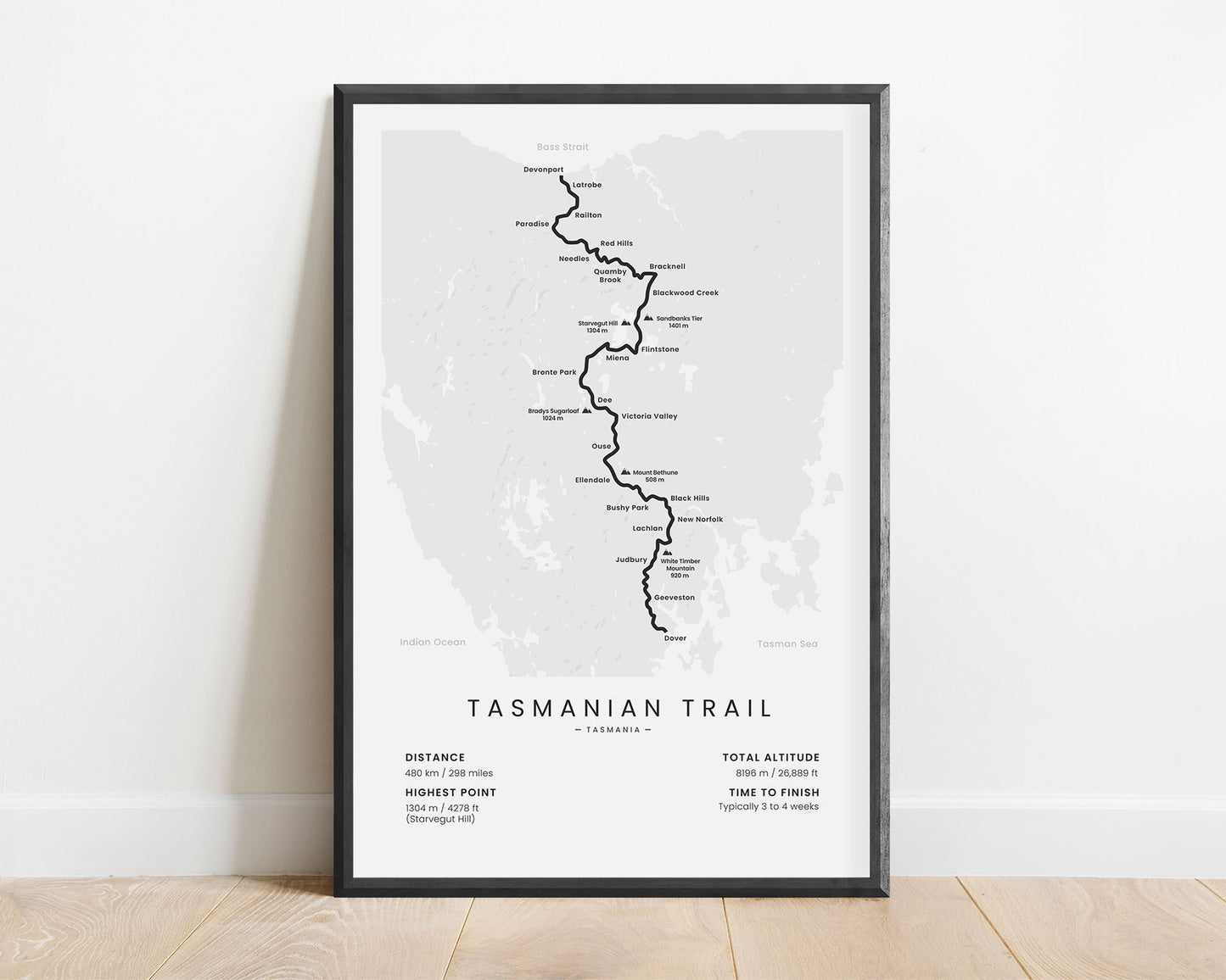
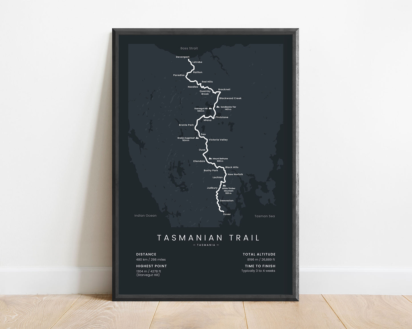
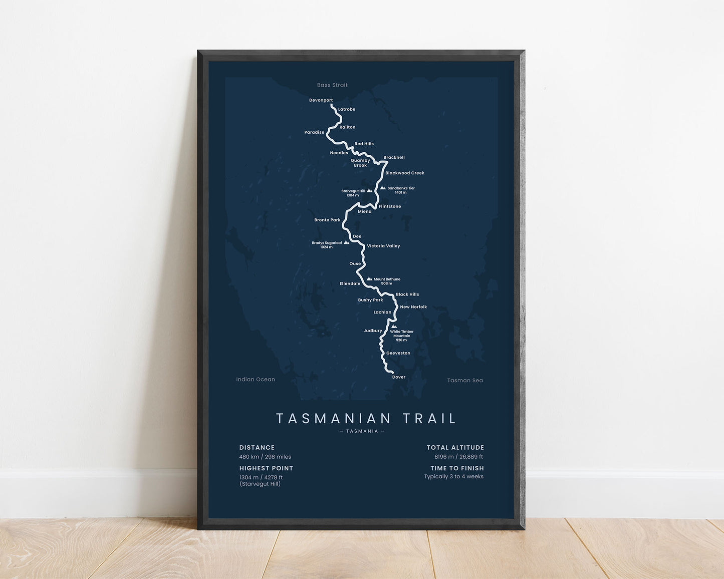
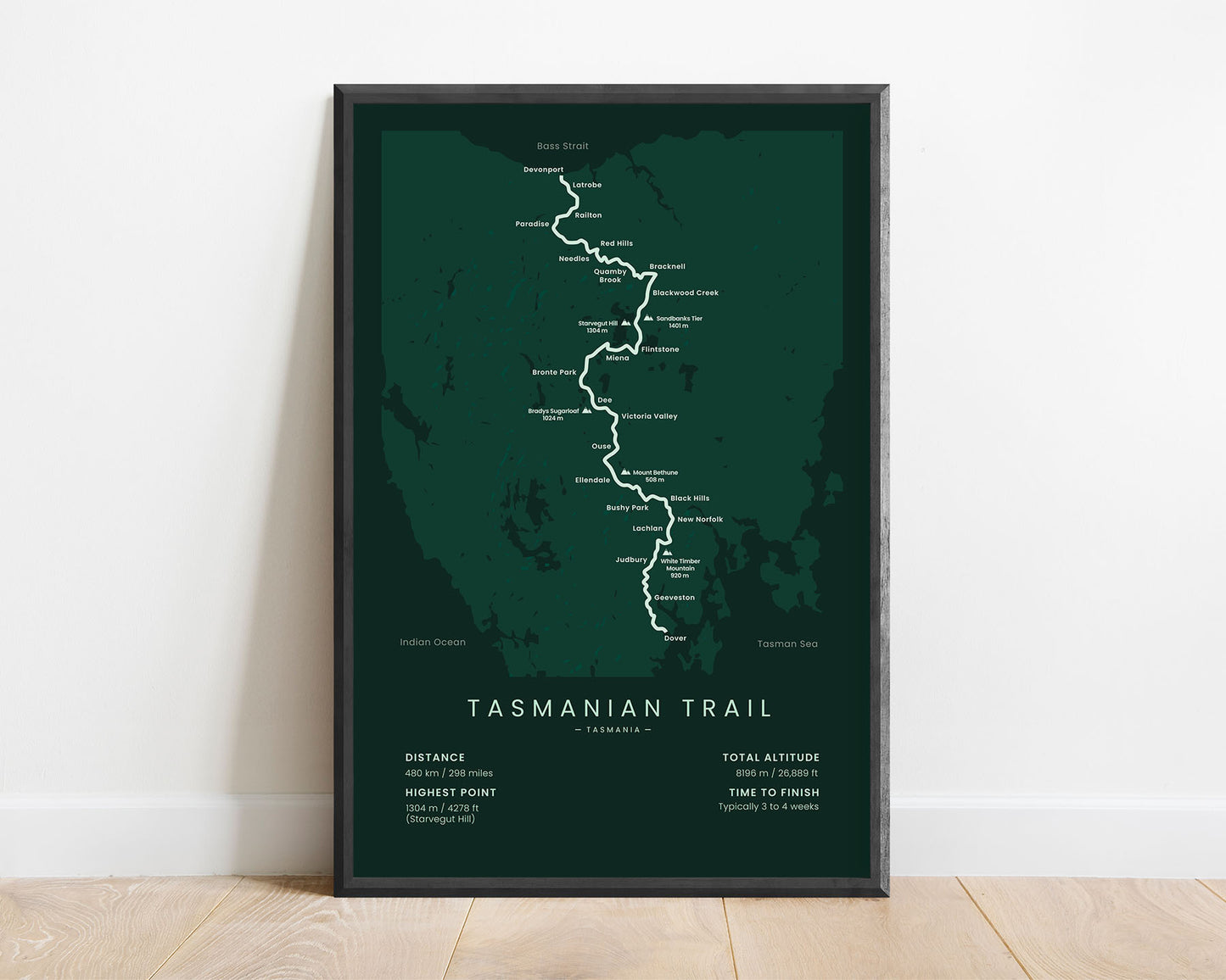


A minimalist print of the Tasmanian Trail that crosses Tasmania, Australia. It shows the main route of the trail, key points of interest, and important statistics about it at the bottom. It’s offered in several different color options so that it fits the designs of many interiors.
About The Tasmanian Trail
The Tasmanian Trail is a popular long-distance hiking trail in Tasmania, Australia. It starts at the northern end, Devonport, then heads 480 km over Tasmania and finishes on the south side of it at Dover. It's the only multi-use long-distance trail in Australia, and it's also very popular among bikepackers/cyclists and horse riders. It takes you through some of the most scenic places of Tasmania, often winding up many summits and mountain passes. Another popular trail in Tasmania is the Overland Track.
Statistics About the Tasmanian Trail
- Start point: Devonport, Tasmania, Australia
- End point: Dover, Tasmania, Australia
- Total distance: 480 km / 298 miles
- Total altitude gain/loss: 8196 m / 26 889 ft
- Highest point: 1304 m / 4278 ft (Starvegut Hill)
- Points of interest: Tasmania, Great Western Tiers, Arthurs Lake, Bronte Park, Huon River
- Time to finish: Typically 3 to 4 weeks

