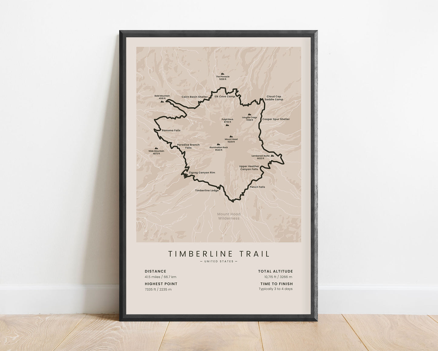
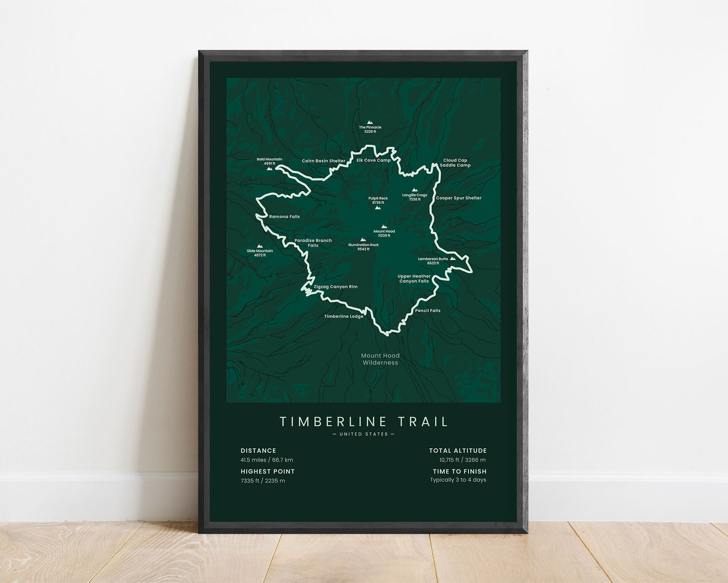
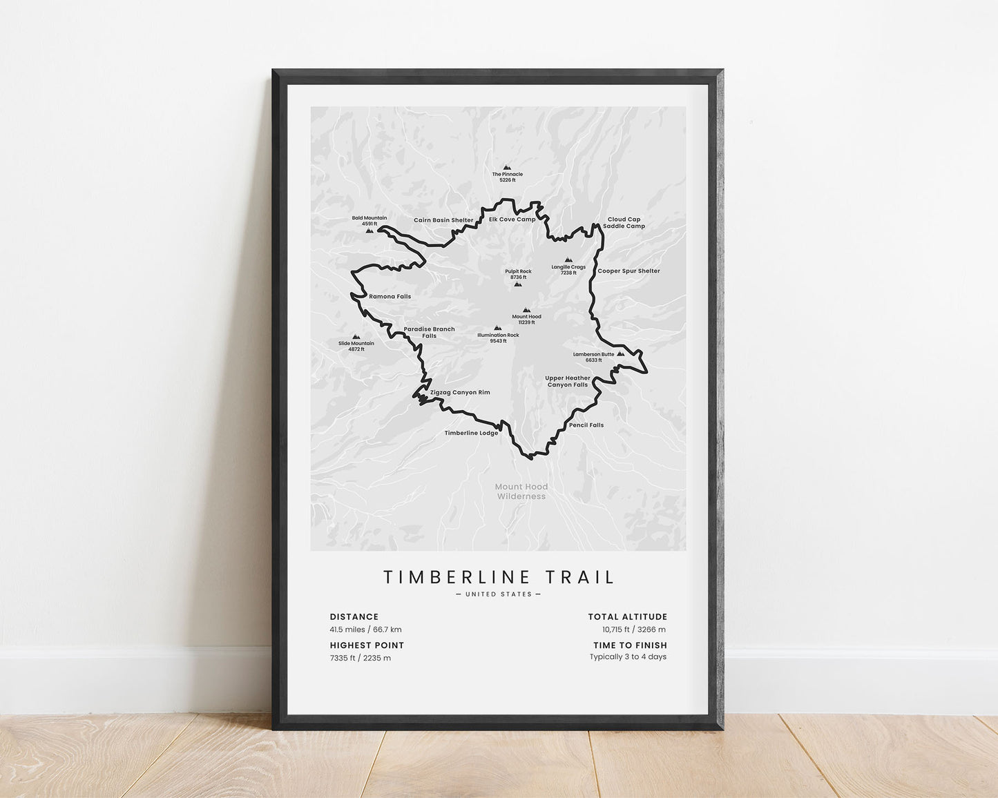
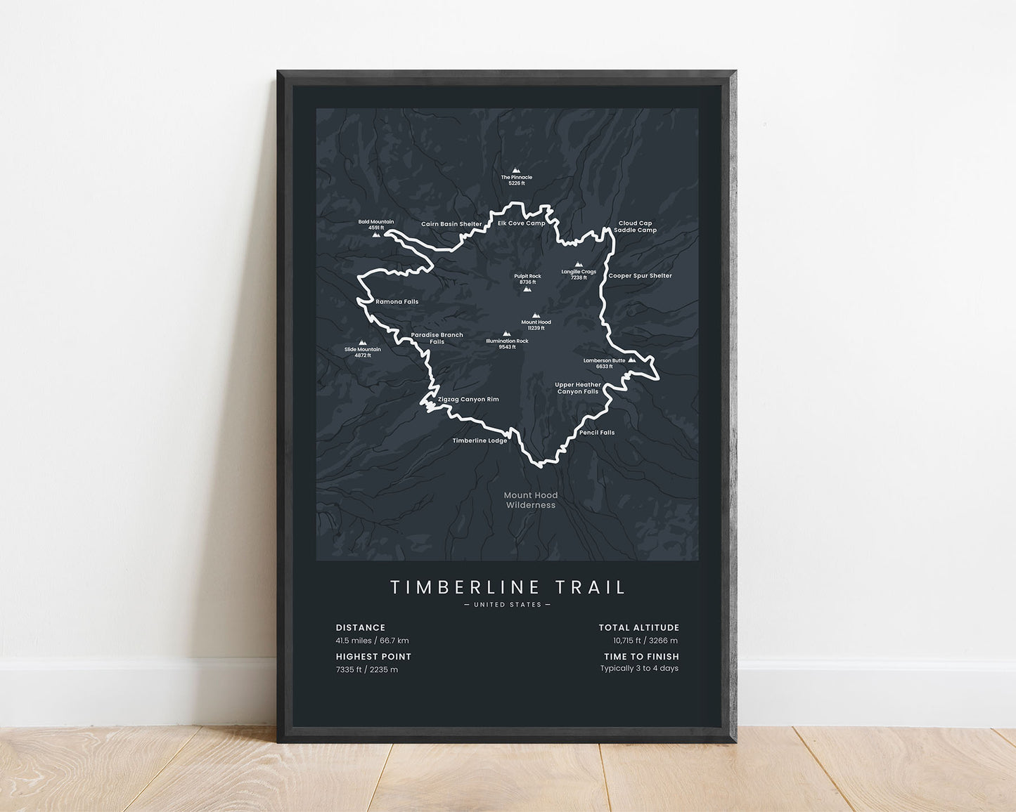
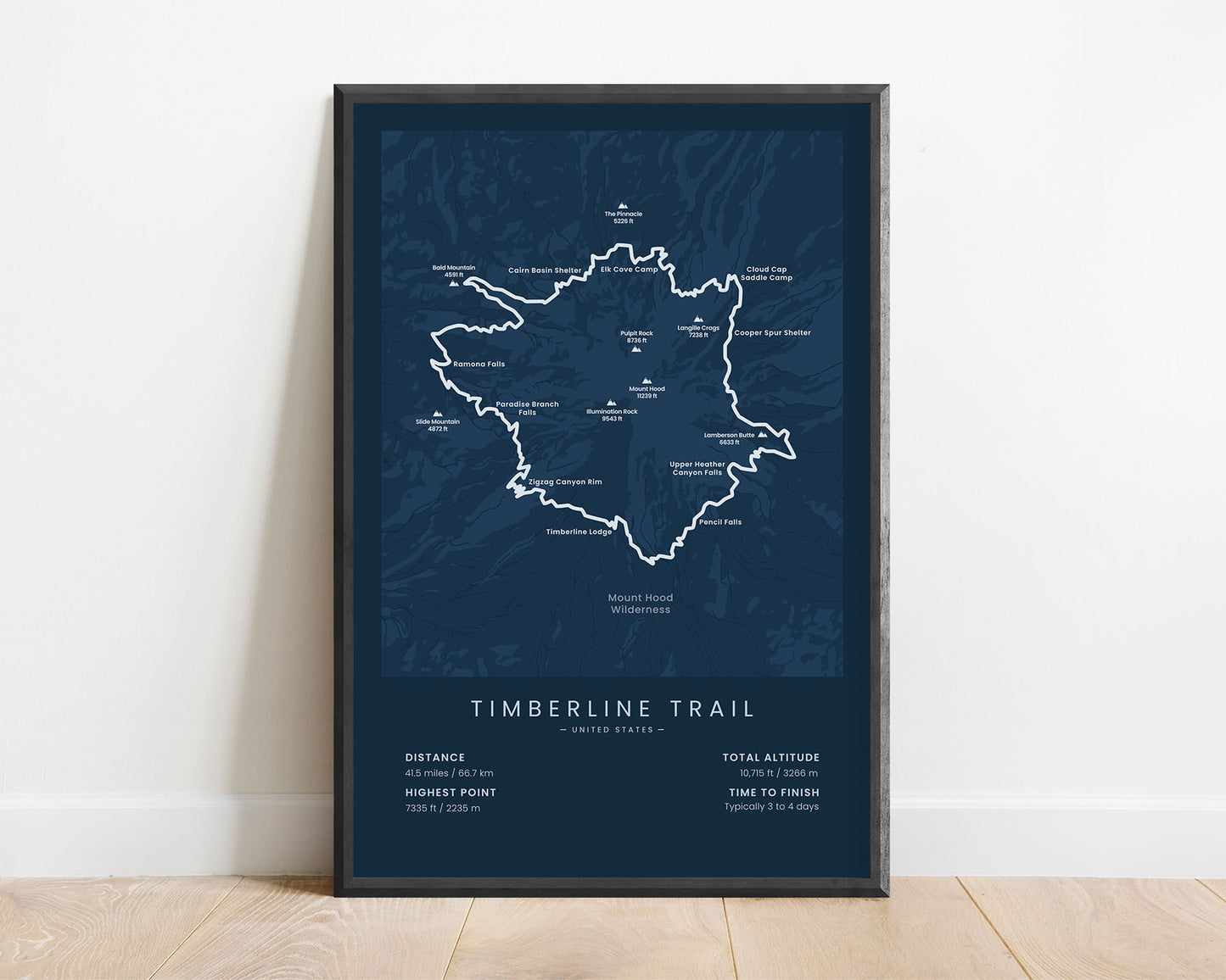


A minimalist print of the Timberline Trail in Oregon, United States. It shows the full map of the trail, the highest peaks, campsites and shelters, and other points of interest. It also includes the main statistics about the trail, like the total distance, elevation gain, highest point, and more. It’s offered in several different minimal color options so that you can choose one that best fits your own interior.
About the Timberline Mount Hood Trail
The Timberline Trail (other called the Mount Hood Loop) is a trail in Oregon, United States that loops around Mount Hood. It mostly goes through the wilderness of the Mount Hood National Forest and offers some spectacular views of the area, including thick pine tree forests, snow-capped mountain peaks, and many whitewater rivers. It also goes along the Timberline Lodge and the Cloud Cap Inn. A part of the trail is also shared with the Pacific Crest Trail.
Statistics About the Timberline Trail
- Total distance: 41.5 miles / 66.7 km
- Total altitude gain/loss: 10 715 ft / 3266 m
- Highest point: 7335 ft / 2235 m (Mount Lafayette)
- Time to finish: Typically 3-4 days
- Points of Interest: Mount Hood, Mt Hood National Forest, Timberline Lodge
- States crossed: Oregon (United States)
- Best time to hike: July - October


