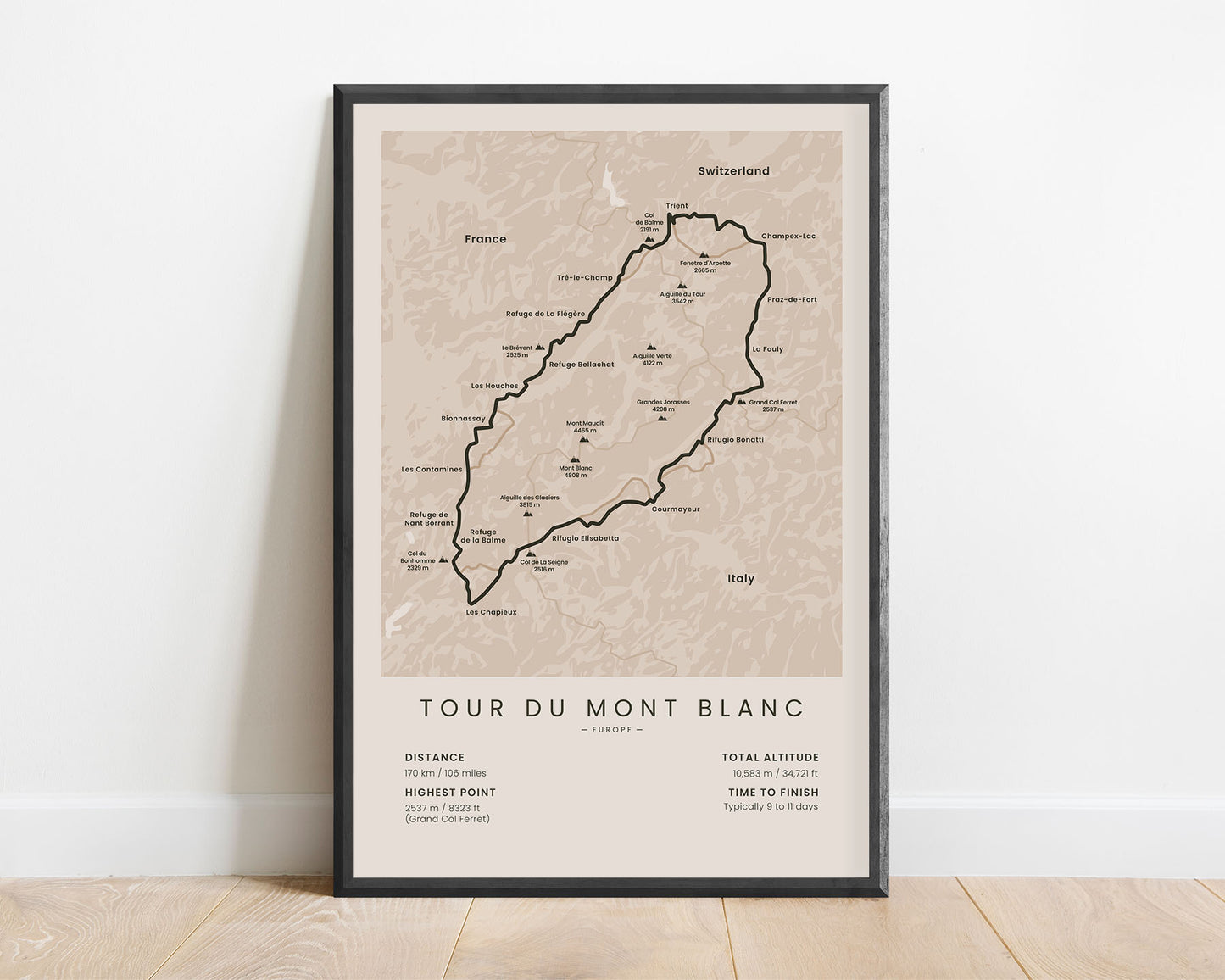
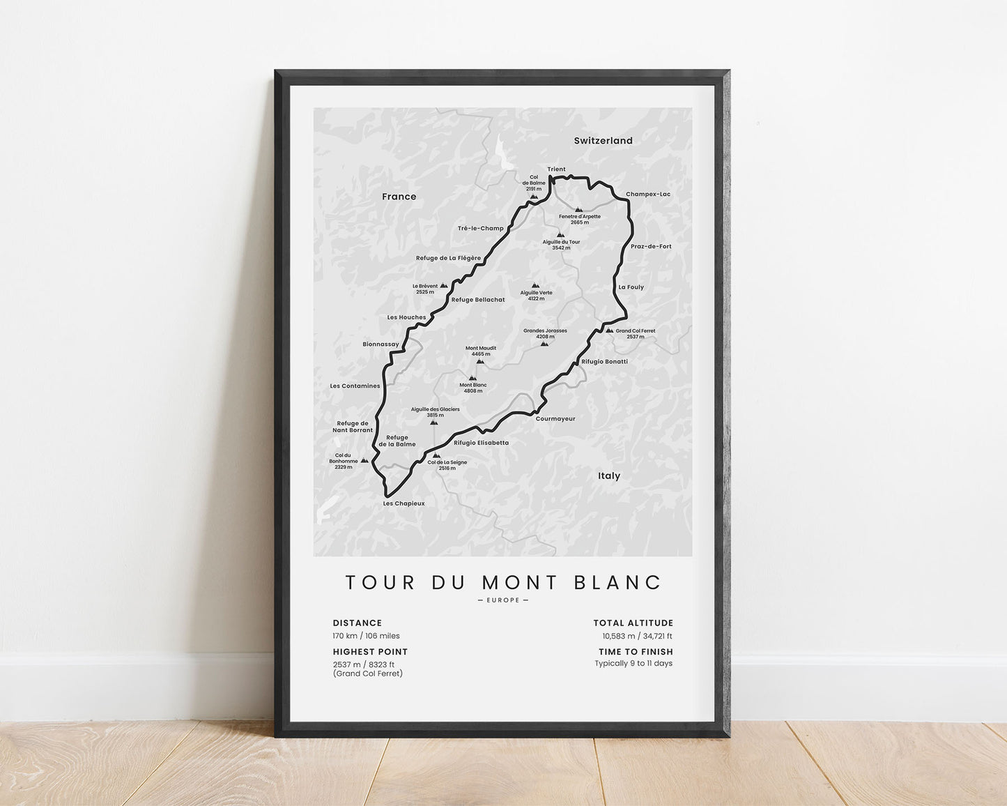
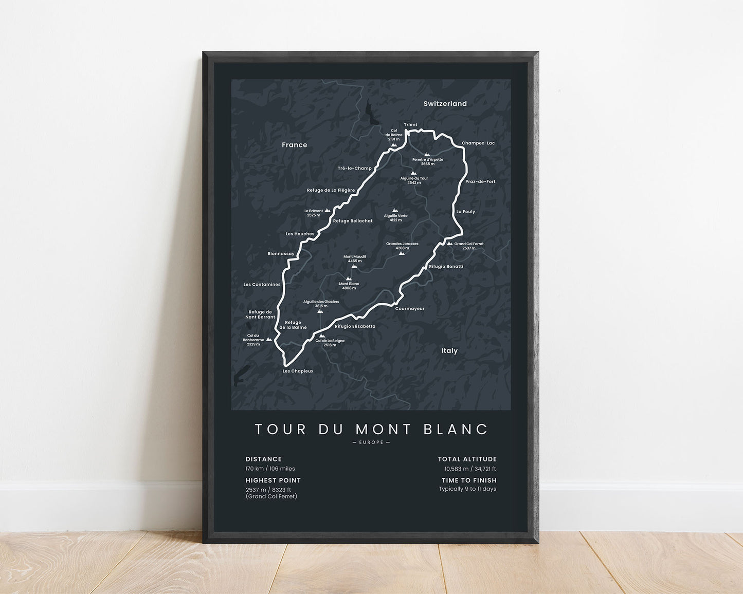
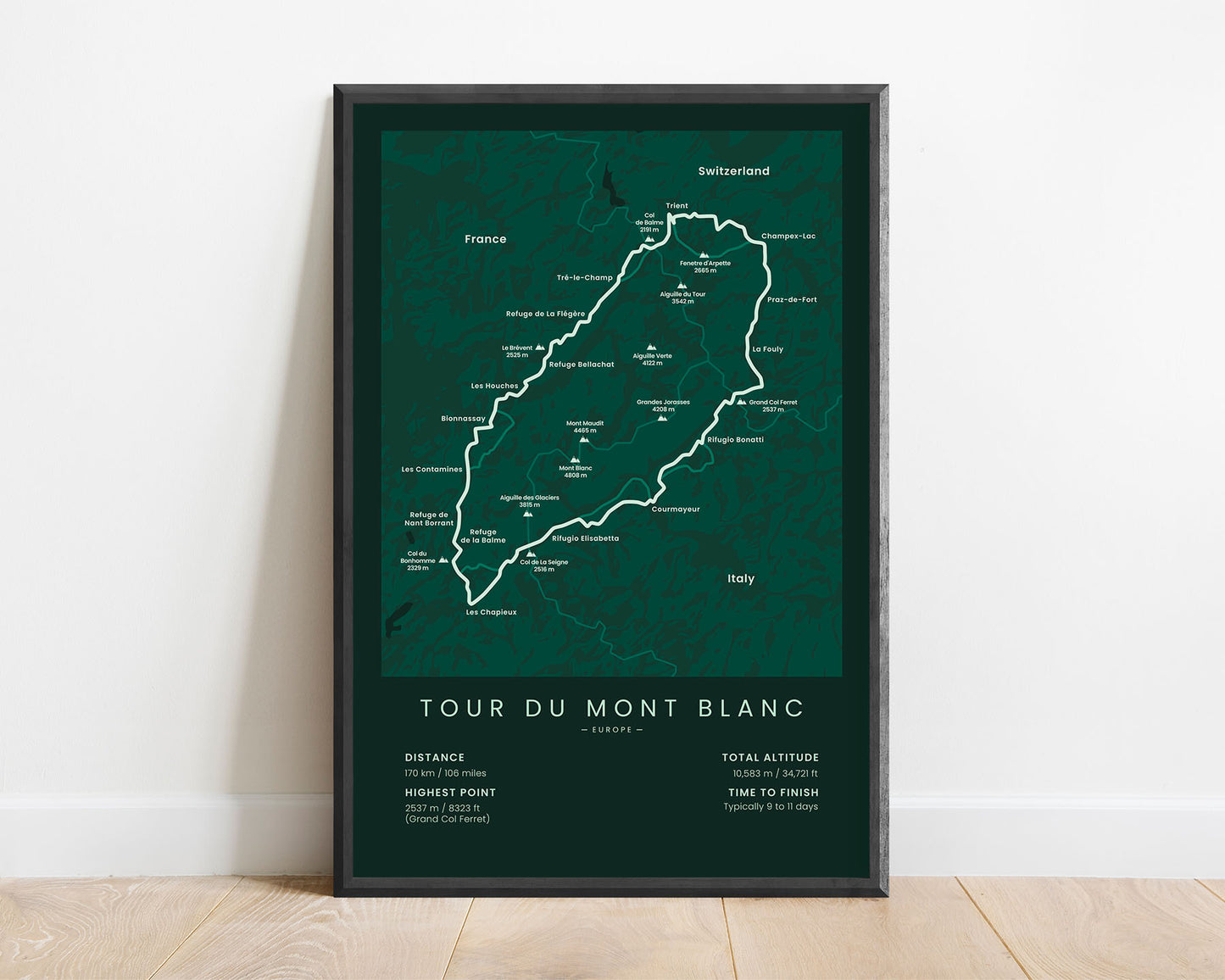
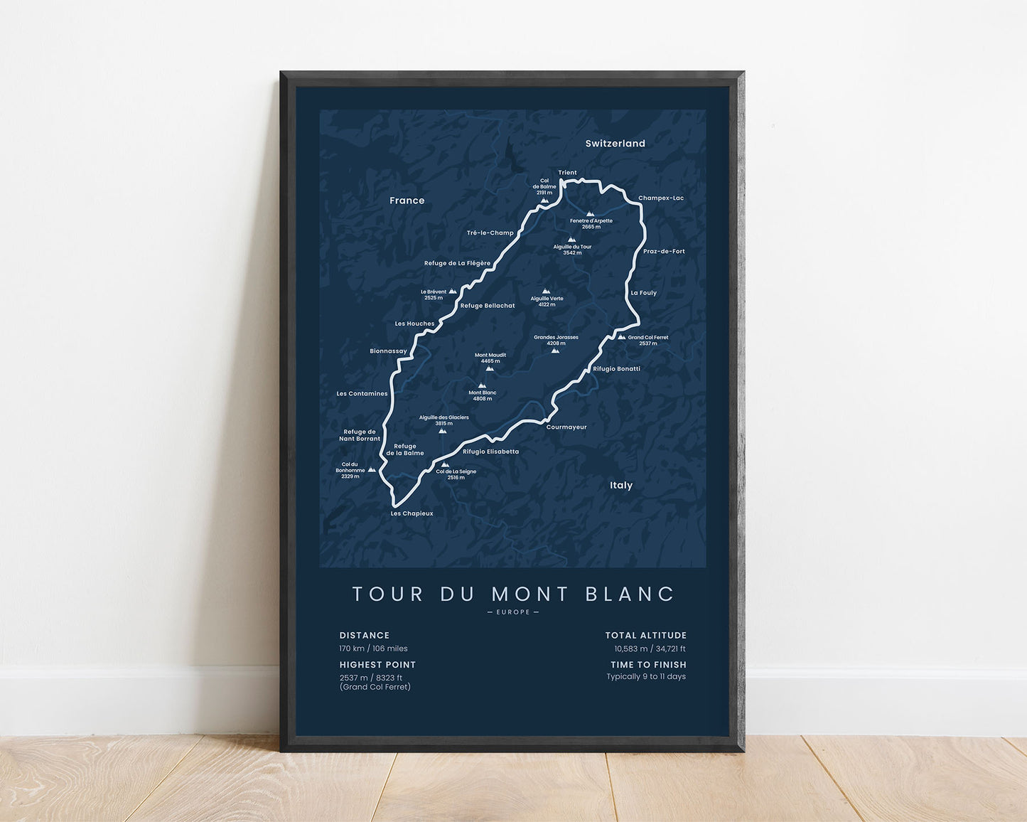
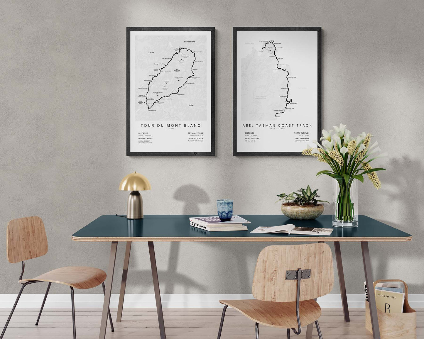
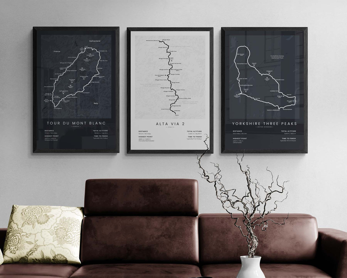

A minimalist map of the Tour Du Mont Blanc Loop hiking trail. This print displays the main route of the trail, the highest peaks visible from the trail, main villages and cities along the way, and other important statistics about the trail. If you’ve finished the TMB or you know someone who wants to do it, this poster will be a great way to showcase your goals.
About the Tour Du Mont Blanc Trail
The Tour Du Mont Blanc trek (other known as TMB, Mont Blanc Loop, or Ultra Tour Du Mont Blanc) is probably the most popular thru-hike in the Alps mountain range. Although the Walker's Haute Route Alps and Alta Via 1 trails are also somewhat popular, the TMB is hiked each year by many more people. Along the way, you'll find many campsites, restaurants, and villages, so this trail is considered to be a fairly simple hike. It's so popular because it goes around the highest peak in the Alps - Mont Blanc, and it offers the best views of Italy, Switzerland, and France, including alpine meadows, high-elevation pine tree forests, rich wildlife, and lots of crystal-clear streams and rivers.
Statistics About the Tour Du Mont Blanc Trek
- Total distance: 170 km / 106 miles
- Total altitude gain/loss: 10 583 m / 34 721 ft
- Highest point: 2537 m / 8323 ft (Grand Col Ferret)
- Countries crossed: France, Switzerland, Italy
- Time to finish: Usually 9 to 11 days
- Best time to hike: June - September


