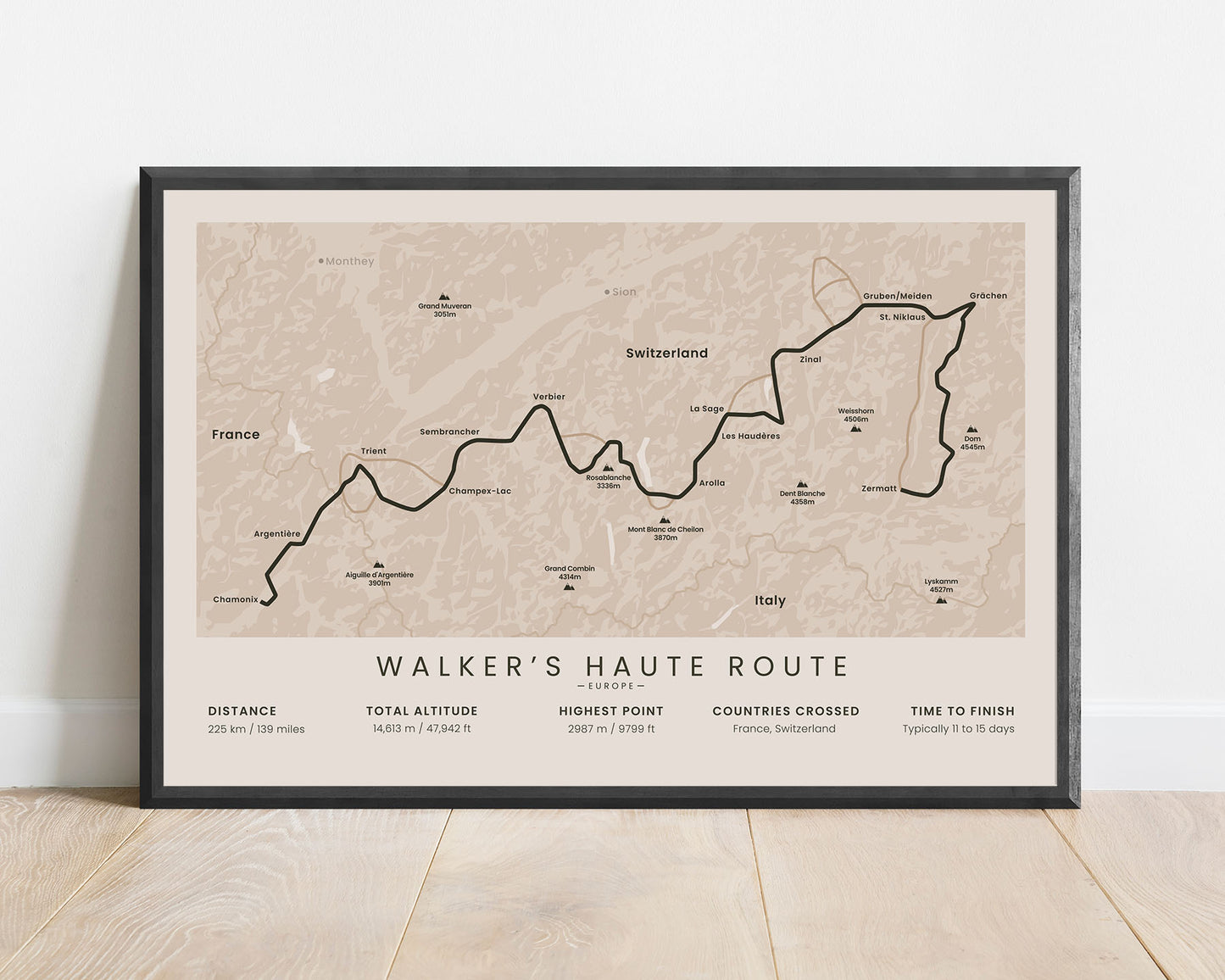
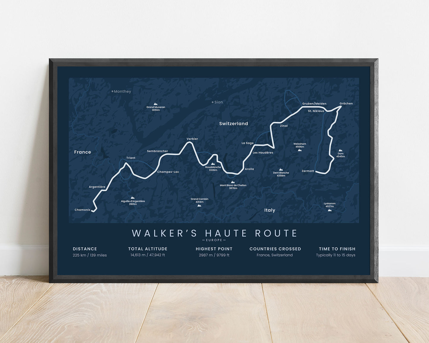
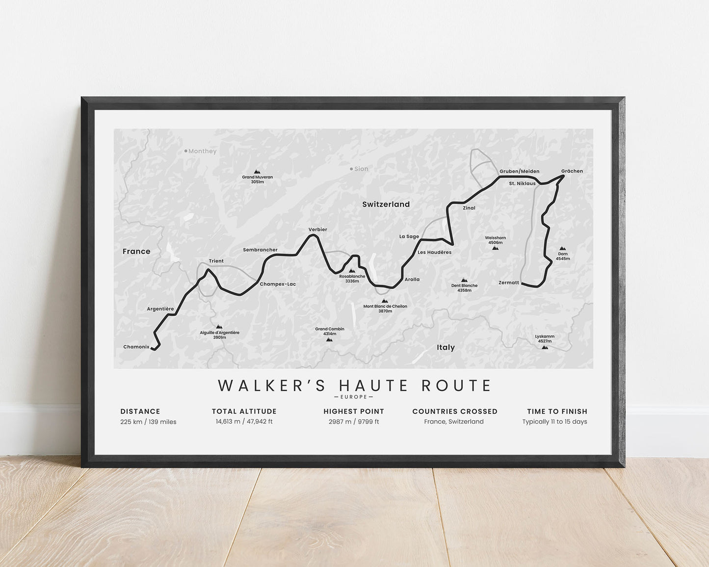
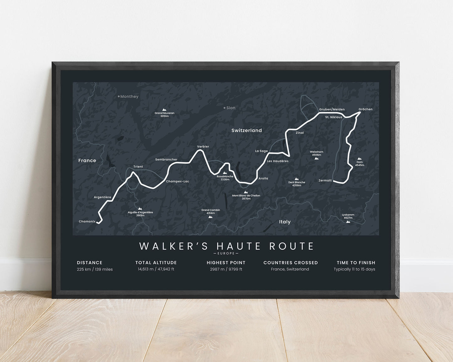
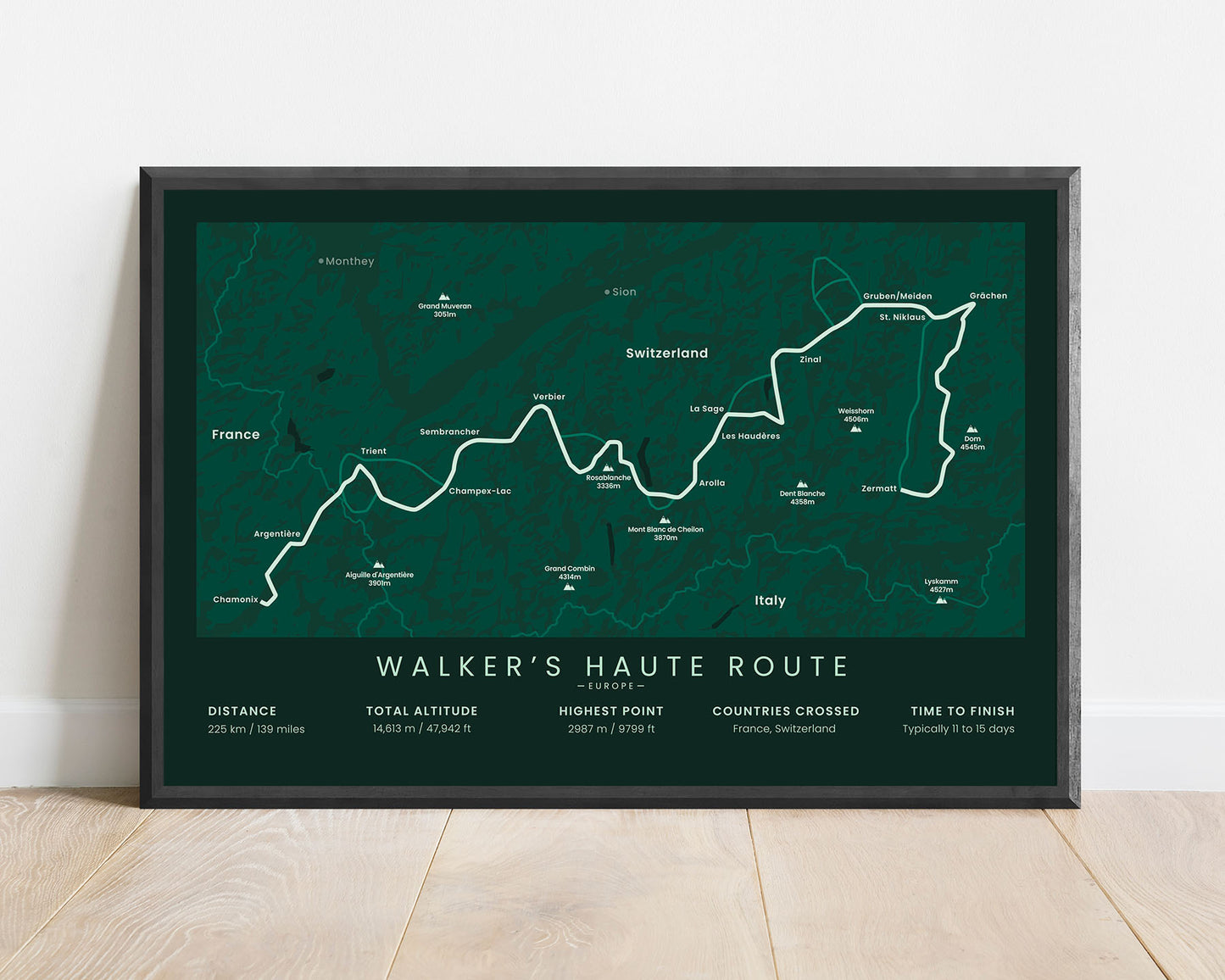

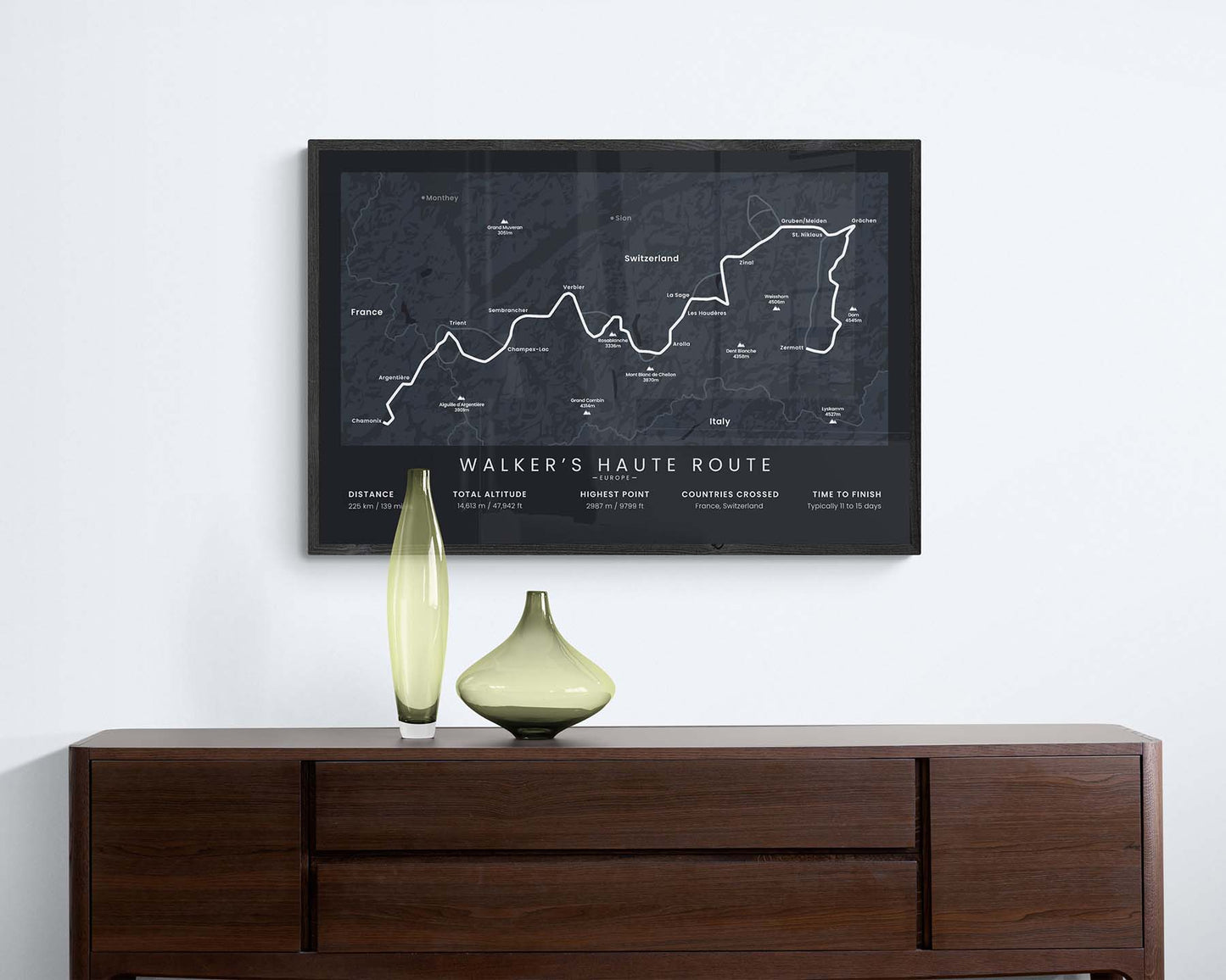

A poster that shows the map of the Walker’s Haute Route poster in the Alps. It includes the whole trail, main villages and cities along the way, the highest peaks, and essential statistics about the trail. This print is made in a minimal style instead of a more typical map design to look better as a design piece, while still providing essential information about the trail. If you’ve finished this trail, this map will be a great addition to your interior.
About the Walker's Haute Route Trek
The Walker's Haute Route (other known as Haute Route Alps) is a thru-hike in the Alps that starts in Chamonix, France, and finishes in Zermatt, Switzerland. This trail goes through some of the best mountain scenery in the Alps, including views of Mont Blanc and other high peaks, like the Grand Combin, Dent Blanche, Weisshorn, and Dom. It takes you through high mountain passes, charming mountain villages, and many alpine meadows, and crosses countless white-water rivers. It shouldn't be mistaken for the Haute Route Pyrenees, which is a completely different thru-hike in the Pyrenees mountain range. Other important trails in the region include the GR5, Traumpfad, and Tour du Mont Blanc.
Statistics About the Walker's Haute Route Thru Hike
- Start point: Chamonix, France
- End point: Zermatt, Switzerland
- Total distance: 225 km / 139 miles
- Total altitude gain/loss: 14 613 m / 47 942 ft
- Highest point: 2987 m / 9799 ft
- Countries crossed: France, Switzerland
- Time to finish: Usually 11-15 days
- Best time to hike: June - September


