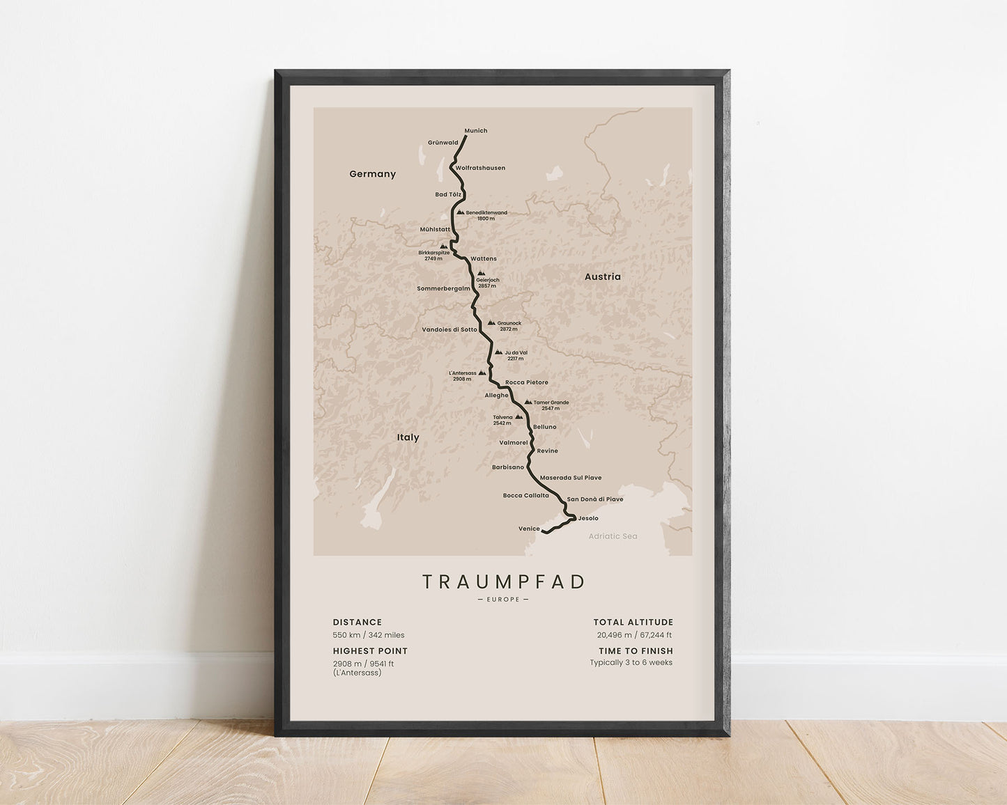
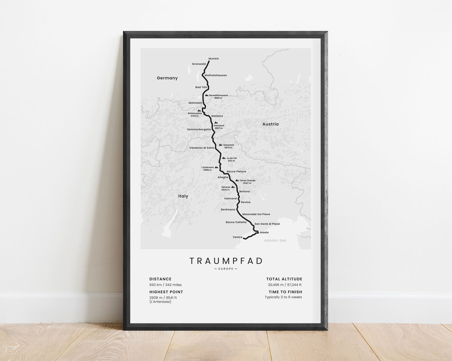
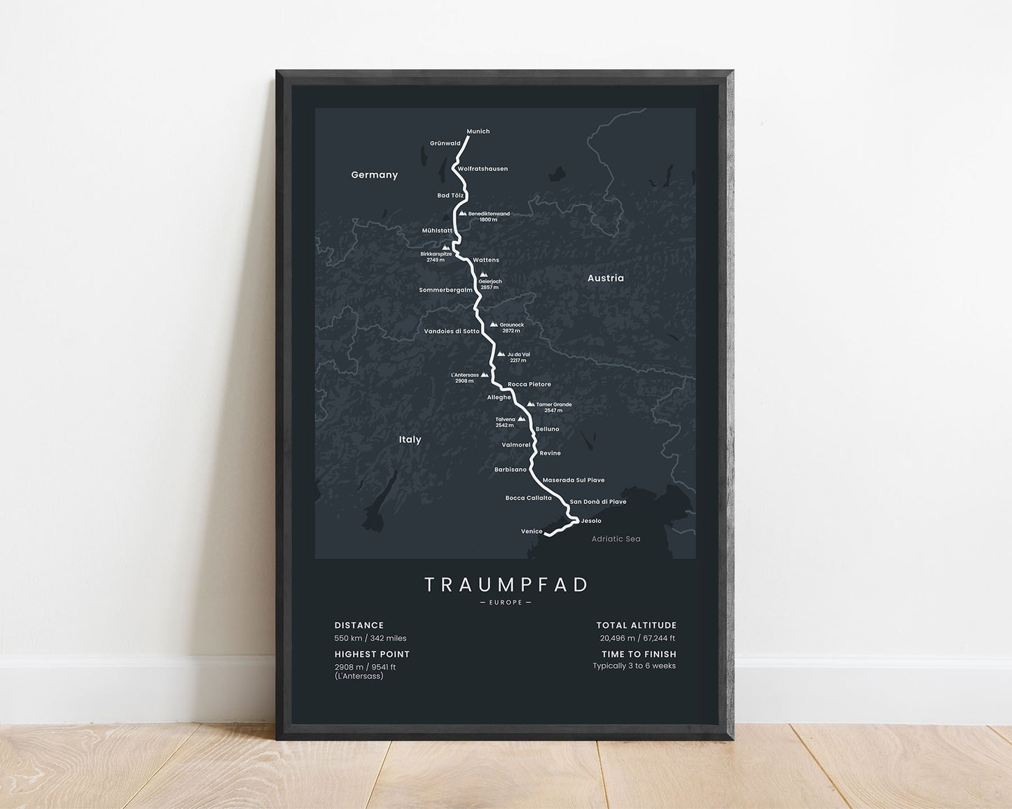
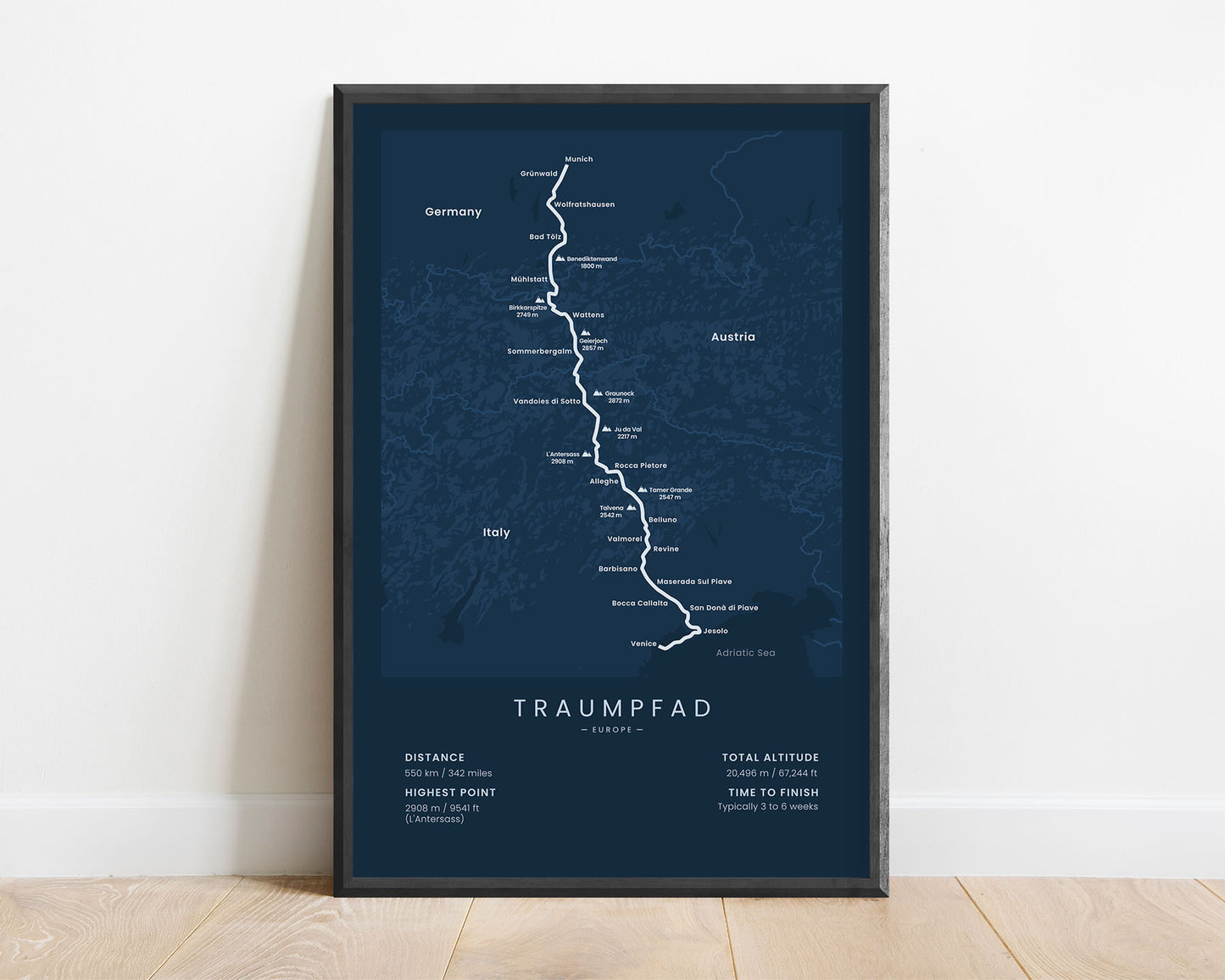
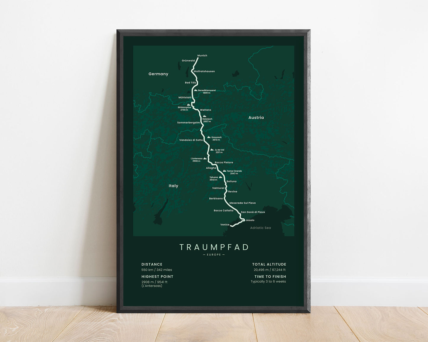
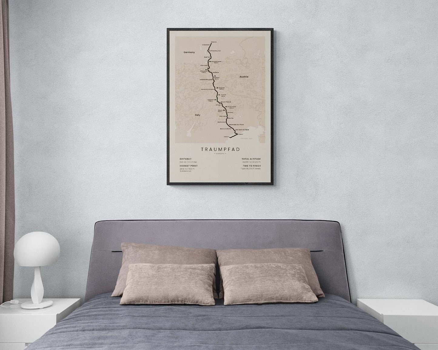
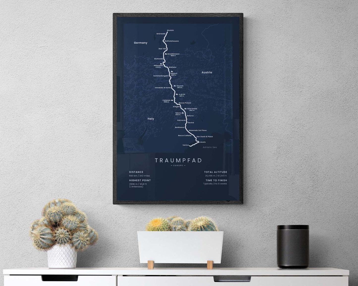

A minimalist poster that shows the full route of the Traumpfad long-distance hiking trail, which crosses the Alps from Munich to Venice. It shows the main peaks along the way (Birkkarspitze, Geierjoch, Graunock, L’Antersass, and others), the largest cities (Wattens, Alleghe, Jesolo, and others), a rough topographical map of the Alps, and other important details about the trail. This print is sold in multiple different color variations that will look good in most Scandinavian, modern, and minimalistic interiors.
About Der Traumpfad
The Traumpfad (other called Der Traumpfad or the Dream Trail) is a long-distance hiking trail that links South Germany to the Adriatic Sea. It starts at Munich, then goes 550 km across Tyrol and the Alps through Austria, and finally finishes in Venice, Italy. It's one of the most beautiful long-distance trails in Europe and also offers a good amount of acclimatization to more physically demanding trail conditions during the middle part of the hike. Along the way, you'll pass through countless alpine peaks, passes, and valleys, and experience the wild part of Europe with lush forests and a good amount of wildlife. It's one of the few trails that crosses the Alps entirely from north to south, however, there are other long-distance hiking trails in the Alps as well, including the Alpe-Adria Trail, GR5, and Walker's Haute Route.
Statistics About the Traumpfad Hiking Trail
- Start point: Munich, Germany
- End point: Venice, Italy
- Total distance: 550 km / 342 miles
- Total altitude gain/loss: 20 496 m / 67 244 ft
- Highest point: 2908 m / 9541 ft (L'Antersass)
- Countries crossed: Germany, Austria, Italy
- Time to finish: Typically 3 to 6 weeks


