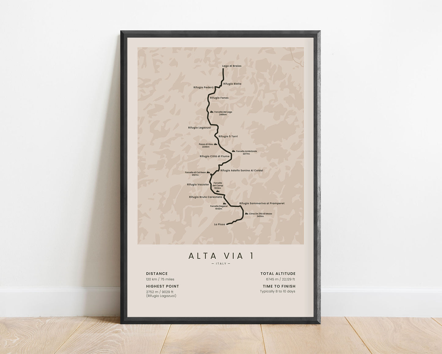
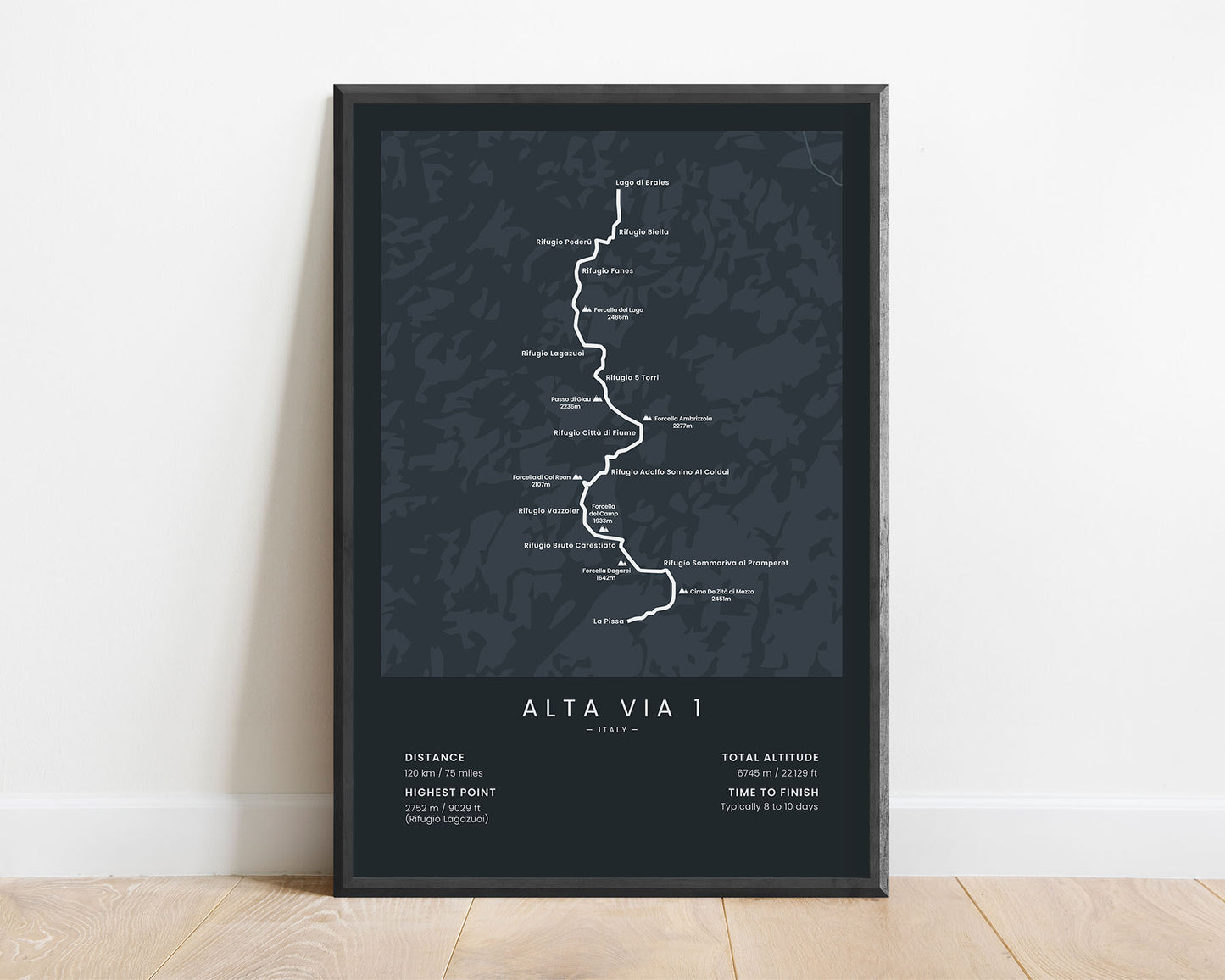
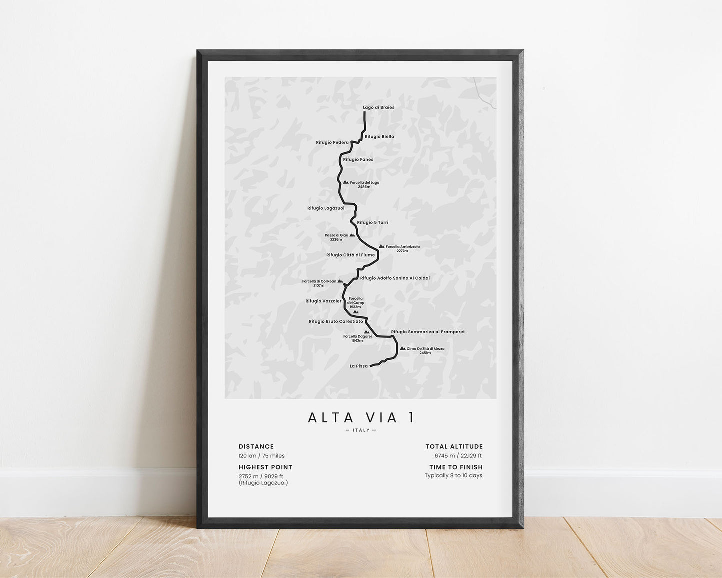
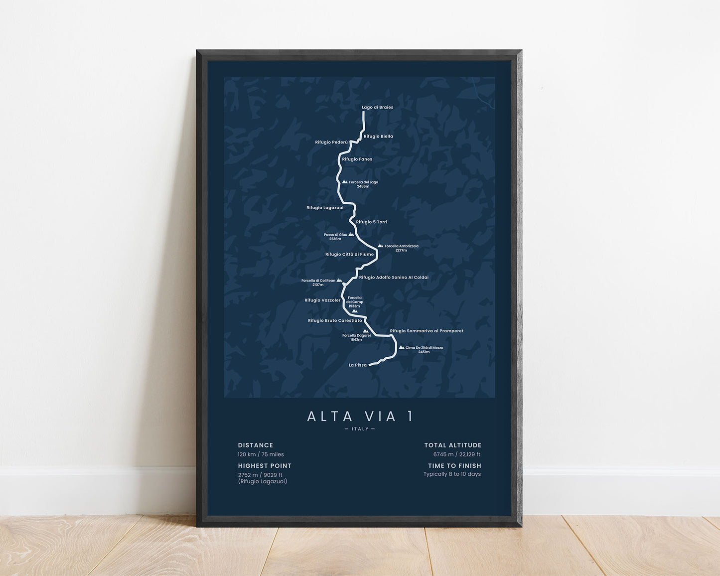
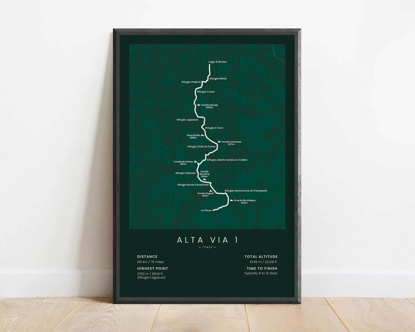
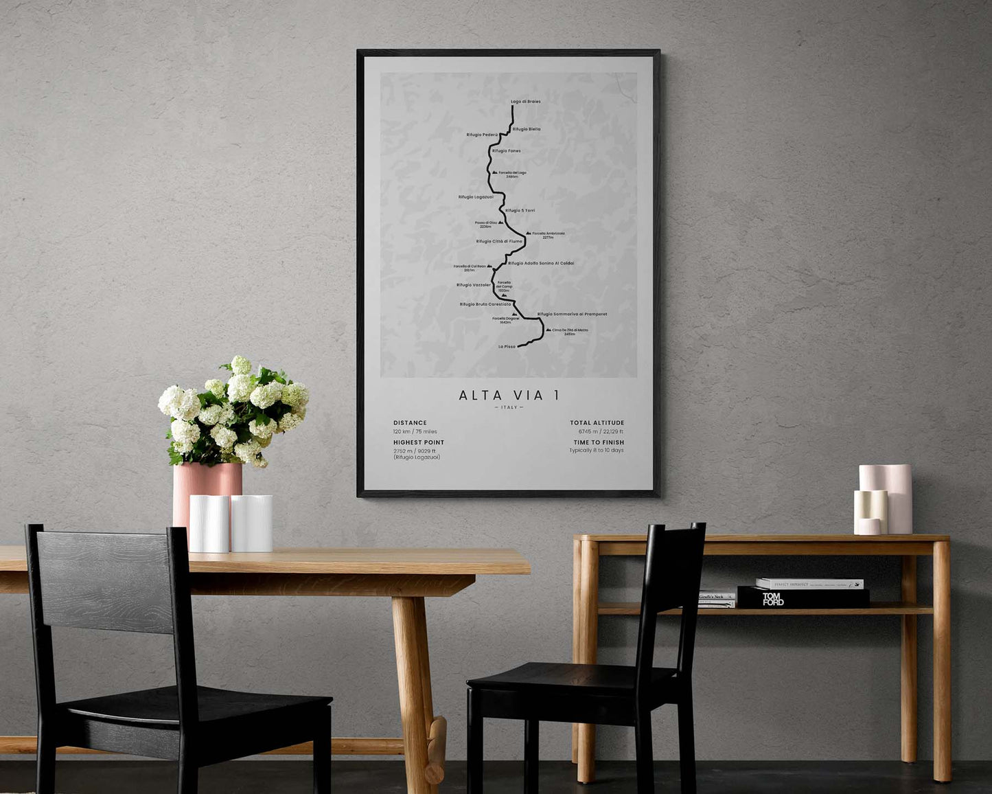
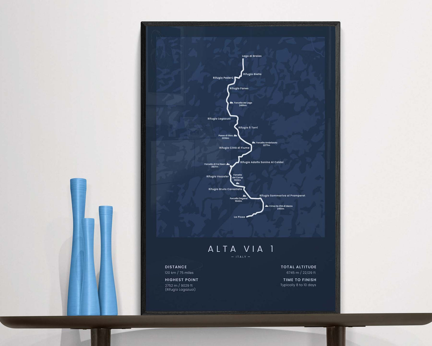

A poster that shows the Alta Via 1 hiking trail in Italy. It includes the map of the full route, main peaks and mountain huts, the total distance of the trail, elevation gain, highest point, and more. It’s offered in many different minimal color options and sizes so that you can find one that fits your own home perfectly.
About the Alta Via 1 Hiking Trail
The Alta Via 1 (other known as AV1 or the Dolomites High Route 1) is a popular long-distance hiking trail in the Italian Alps. It starts at Lago di Braies, then heads 120 km through arguably, the most beautiful part of the Alps - the Italian Dolomites, and finally ends at La Pissa. Out of all the Alta Via routes, the Alta Via 1 is considered to be one of the easiest ones. There is a lot of elevation gain involved, but the trail itself isn't too dangerous. If you choose to hike the AV1, then you'll experience some of the best views in the Alps - rugged peaks, steep valleys, white water rivers, crystal-clear mountain lakes, thick pine tree forests, and lots of wildlife. Other popular routes in the alps include the Haute Route Alps and the Tour du Mont Blanc.
Statistics About Alta Via 1
- Start point: Lago di Braies, Italy
- End Point: La Pissa, Italy
- Total distance: 120 km / 75 miles
- Total altitude gain/loss: 6745 m / 22 129 ft
- Highest point: 2752 m / 9029 ft (Rifugio Lagazuoi)
- Time to finish: Usually 8-10 days
- Best time to hike: June - September


