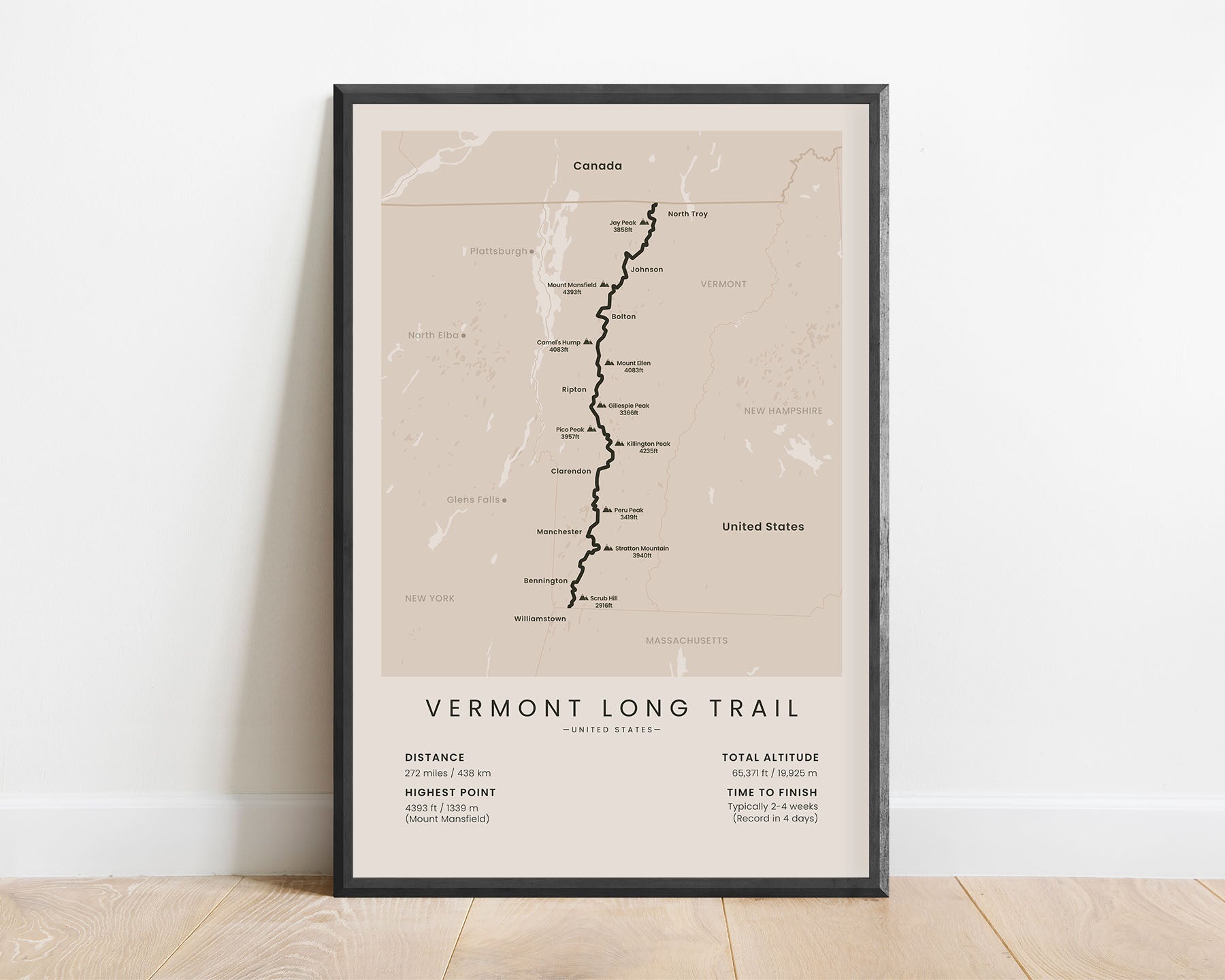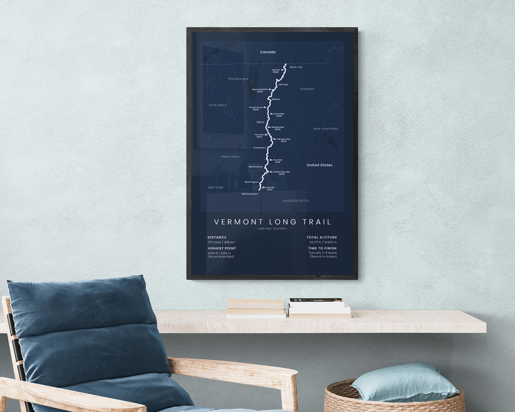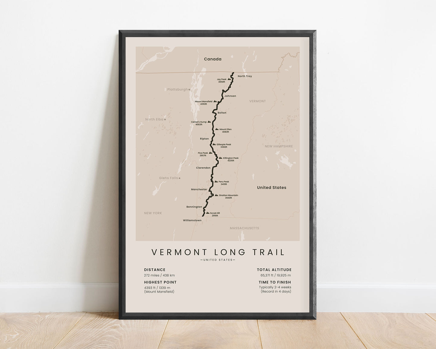
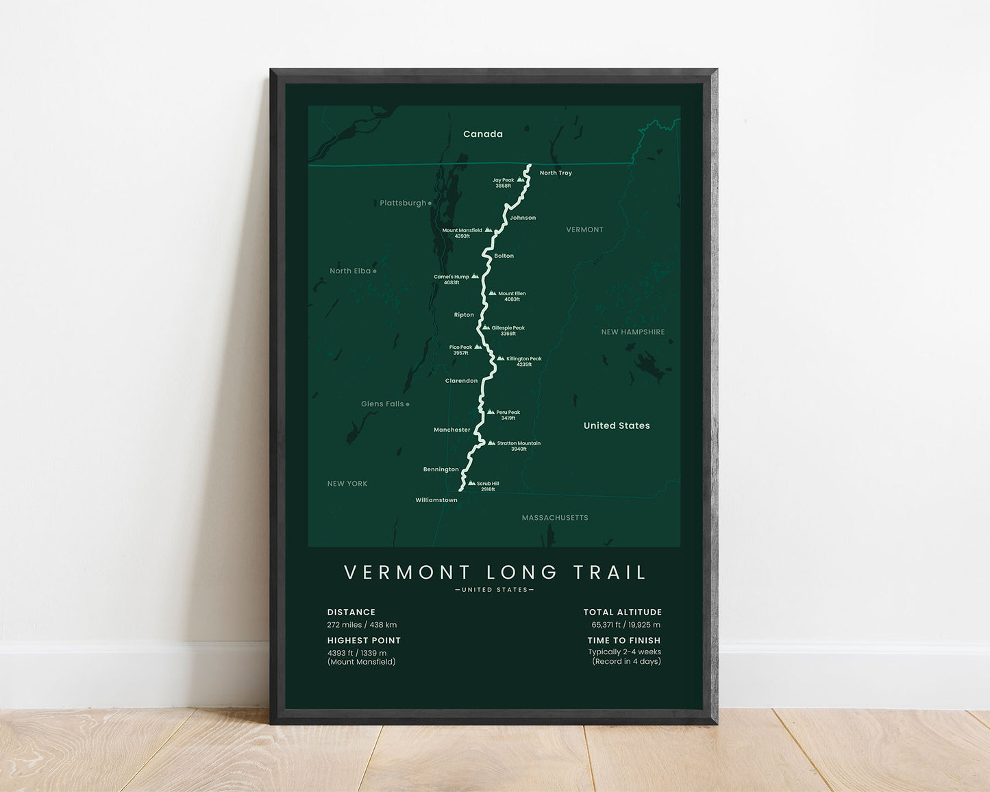
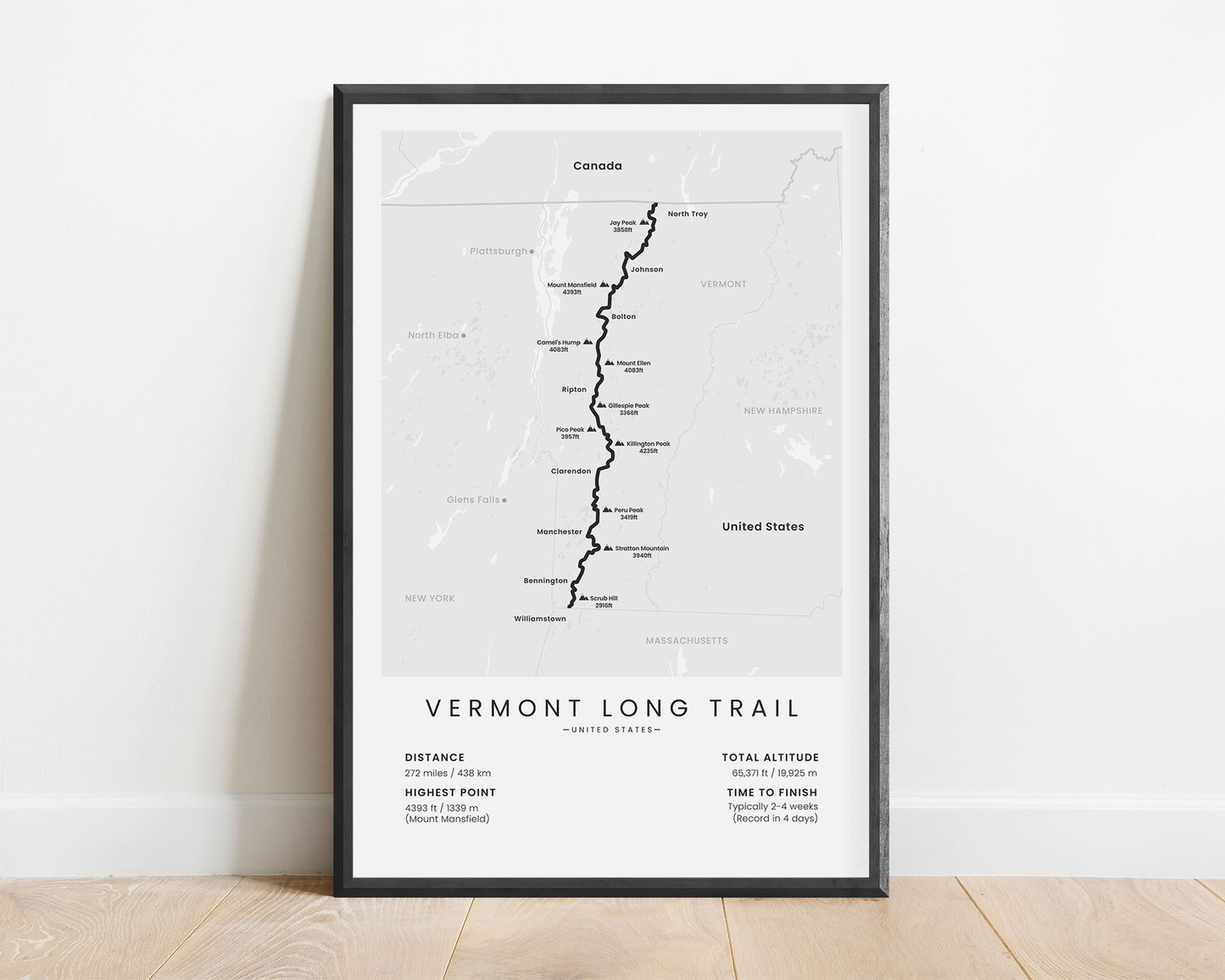
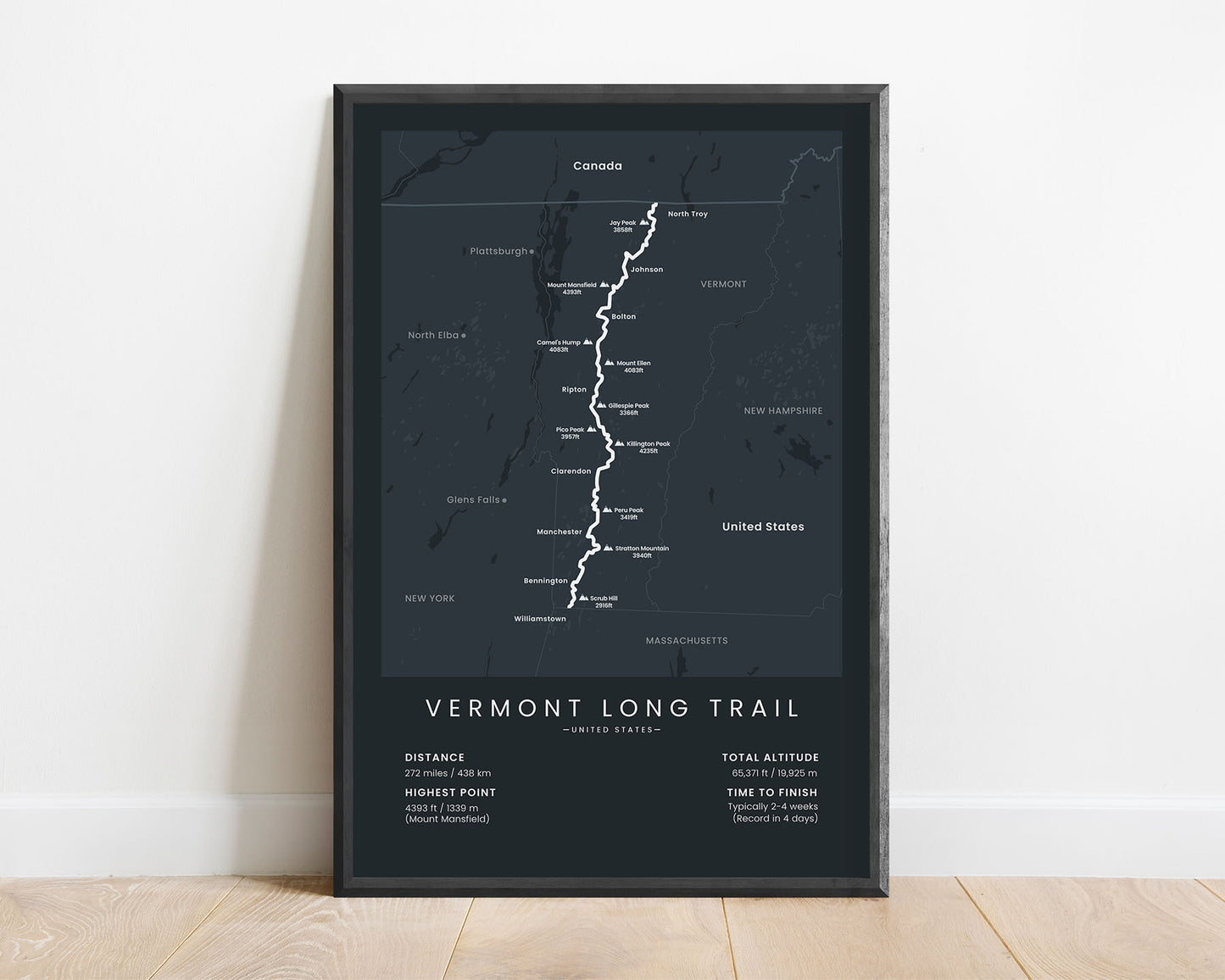
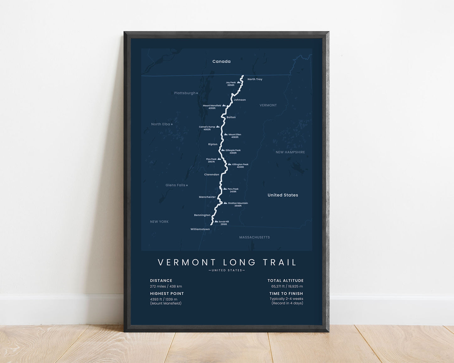

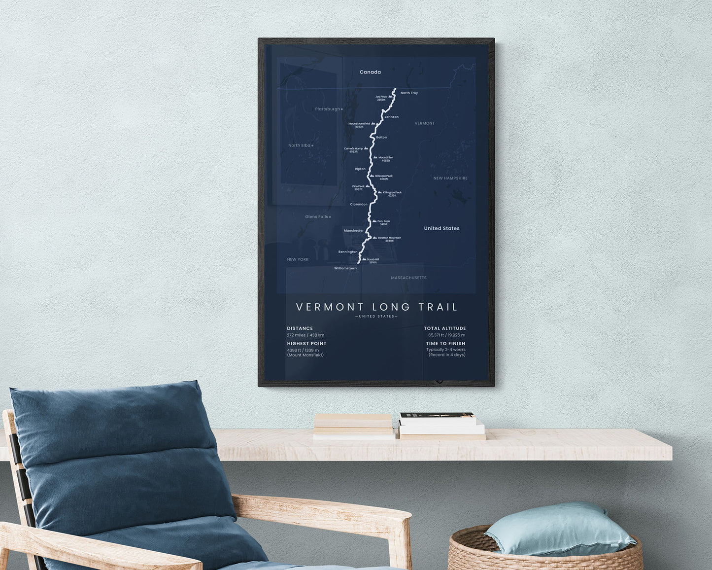

A print that shows the map of the full Vermont Long Trail thru-hike, including the trail route itself, the main villages and mountain summits, and the main statistics about the trail. It’s made in a minimalist design to fit most modern and minimal interiors and is offered in several different color and size options. Not only will it showcase the essential details about the trail, but also fit nicely into your interior.
About the Vermont Long Trail
The Vermont Long Trail (other called the Long Trail or VT) is a long-distance trail that crosses the state of Vermont, United States from the Massachusetts state line to the US-Canada border. It follows the main ridge of the Green Mountains and takes you through the wild, pine-tree-covered areas of Northern America. The Vermont Long Trail also shares some 100 miles with the Appalachian Trail in the southern part. It typically takes 2-4 weeks to complete and is best completed during the summer months, although you'll be dealing with a lot of mosquitoes and bugs. It's considered to be one of the most rugged thru-hikes in the United States.
Statistics About the Vermont Long Trail
- Start point: Massachusetts state line, Vermont
- End point: Canadian border, Jay, Vermont
- Total distance: 272 miles / 438 km
- Total altitude gain/loss: 65 371 ft / 19 925 m
- Highest point: 4393 ft / 1339 m (Mount Mansfield)
- Countries crossed: United States
- States Crossed: Vermont
- Time to finish: Usually 2-4 weeks
- Record finish time: 4 days
- Best time to hike: July-September

