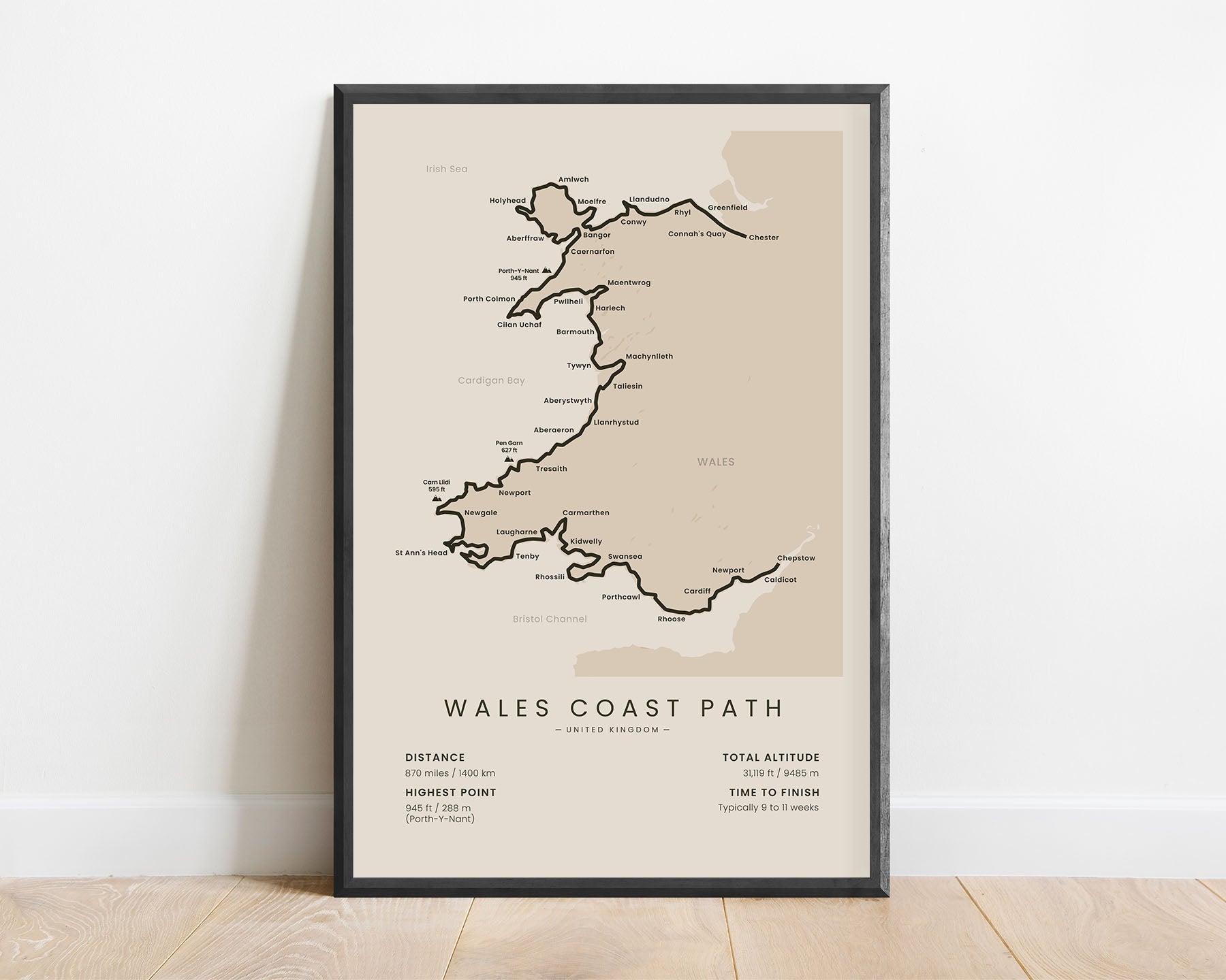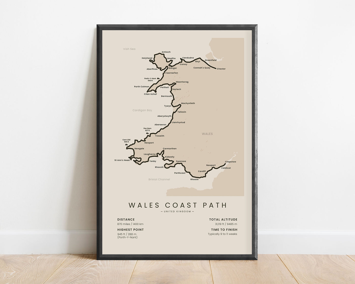
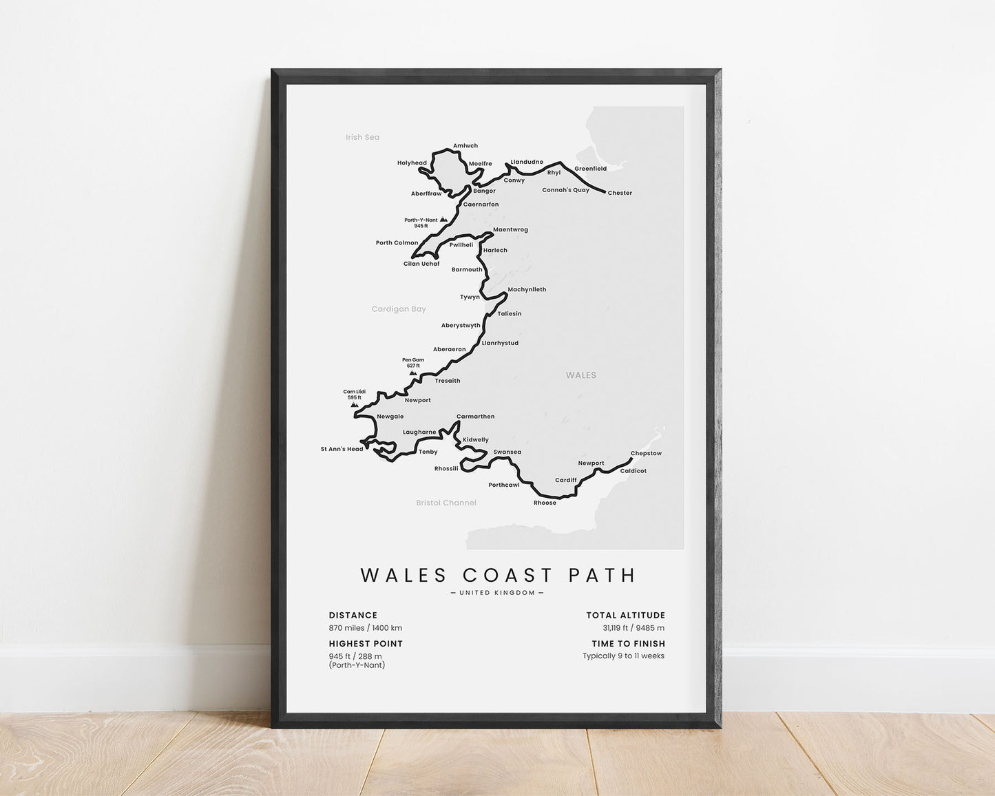
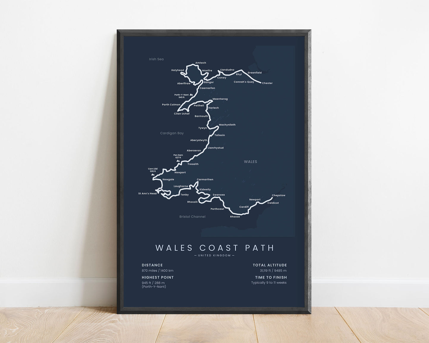
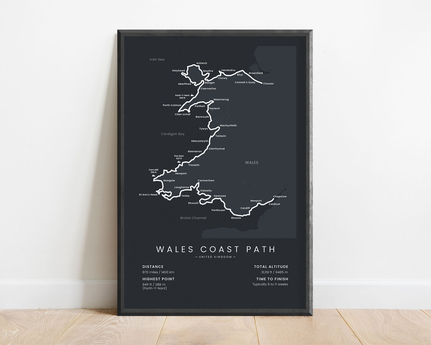
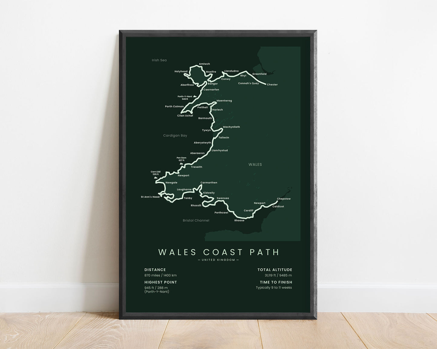


A poster that displays a minimalistic map of the Wales Coast Path. It shows the largest cities, peaks, the trail itself, and important statistics about the trail, like the total distance, elevation gain, and more. It’s a very minimalistic map offered in multiple color options, so you can choose one that best fits your interior. This Wales Coast Path poster will be a great gift to someone who is planning to finish the trail in the future.
About the Wales Coast Path
The Wales Coast Path (In Welsh "Llwybr Arfordir Cymru") is a somewhat new hiking trail, established only in 2012. It was developed because the Welsh Coastline was filled with multiple popular hiking trails, including the North Wales Path, Anglesey Coastal Path, Llyn Coastal Path, and Pembrokeshire Coast Path. The Wales Coast Path just linked all of these trails together. Plus, there already was one successful coastal trail in a region just below, the South West Coast Path. It starts at Chester, UK, and takes you through the whole coastline of Wales, finally ending at Chepstow. The Wales Coast Path is one of the longest hiking trails in the UK, and it takes you through beautiful grassy hills, cliffed coastlines, pristine sandy beaches, and lush coastal forests.
Statistics About the Wales Coast Path
- Start point: Chester, North West England, United Kingdom
- End point: Chepstow, Wales, United Kingdom
- Total distance: 870 miles / 1400 km
- Total altitude gain/loss: 31,119 ft / 9485 m
- Highest point: 945 ft / 288 m (Porth-Y-Nant)
- Countries crossed: United Kingdom
- States crossed: Wales
- Time to finish: Typically 9 to 11 weeks
- Best time to hike: April-October

