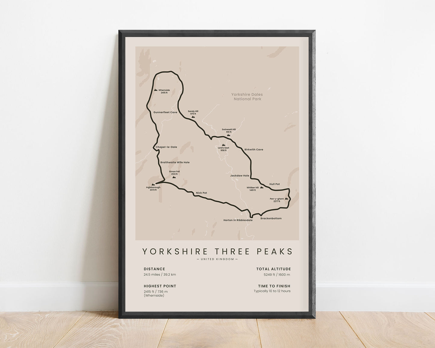
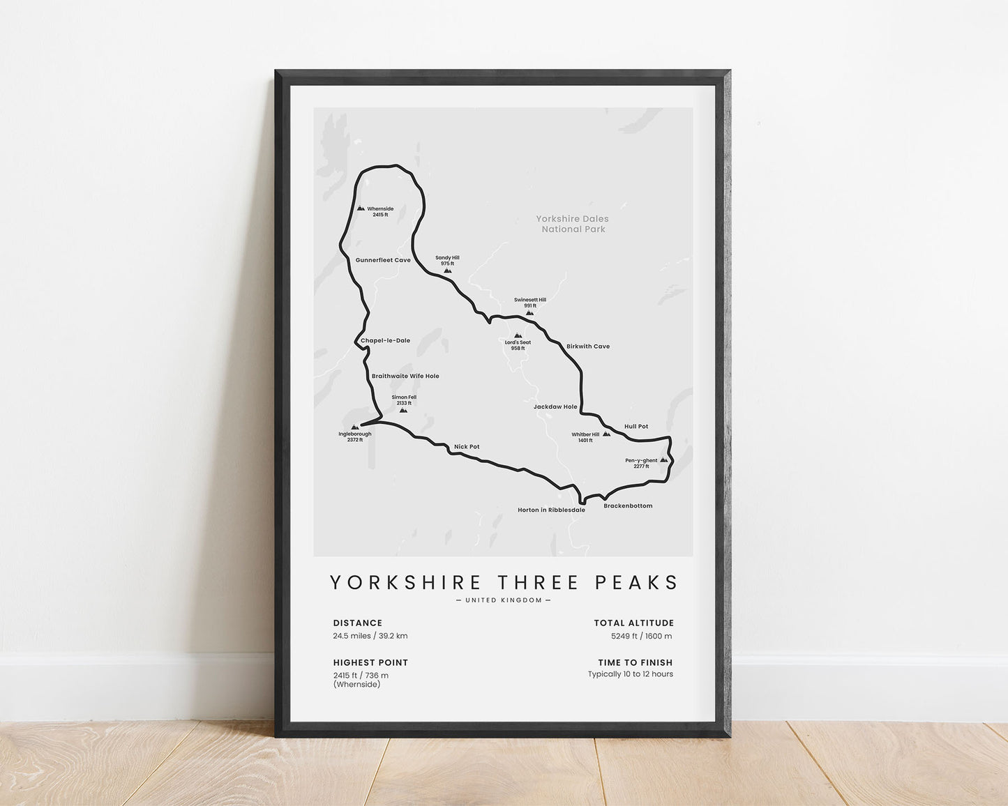
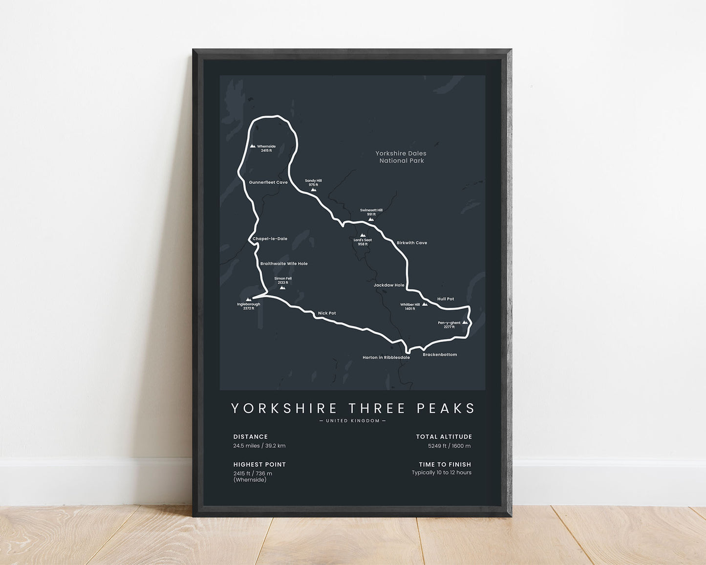
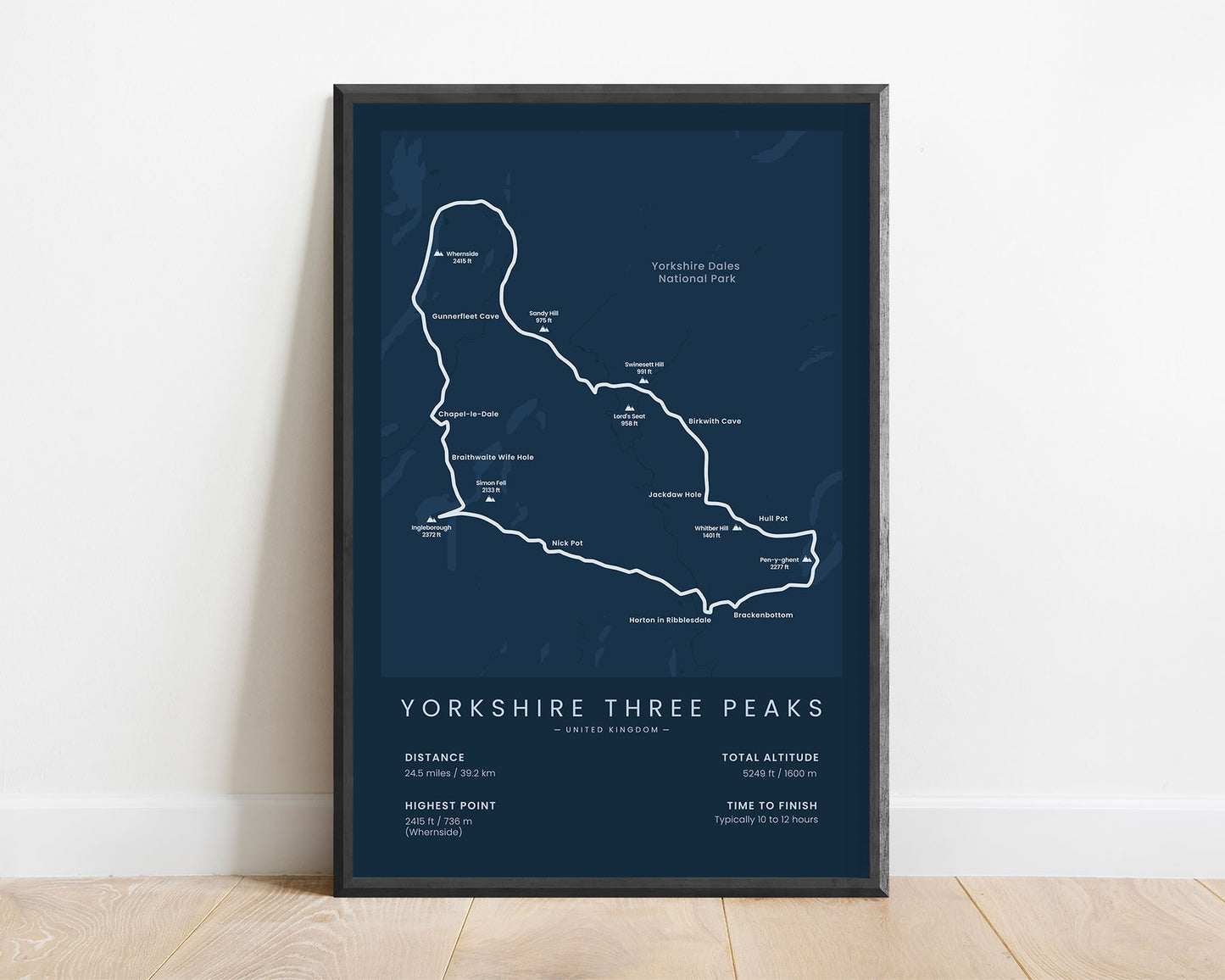
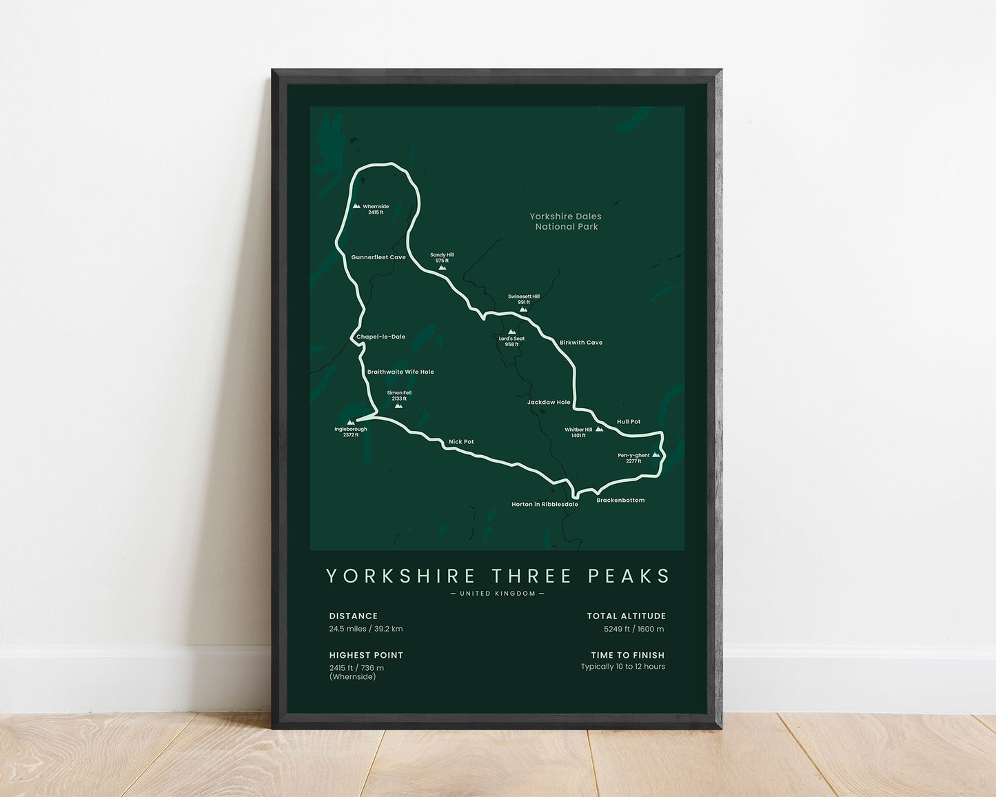


A minimalistic print that shows the route of the Yorkshire Three Peaks trail running hike. It shows a rough topographical map of the area, the full route of this trail, the three main peaks and other key mountain peaks, and important statistics about the trail at the bottom. It’s offered in various different color options to look good in any interior.
About The Yorkshire Three Peaks Trail
The Yorkshire Three Peaks hiking trail is a very popular trail in the Yorkshire Dales National Park. It climbs up three of the most well-known mountain peaks in the region - Pen-y-Ghent, Ingleborough, and Whernside. It also briefly crosses the Pennine Way long-distance hiking trail. Most people choose to run this hiking trail because a well-known race is hosted there - the Yorkshire Three Peaks Challenge. This trail is so popular because hikers get to experience some spectacular scenery of the surrounding region.
Statistics About the Yorkshire Three Peaks Hike
- Start point: Horton In Ribblesdale, North Yorkshire, England
- Total distance: 24.5 miles / 39.2 km
- Total altitude gain/loss: 5294 ft / 1600 m
- Highest point: 2415 ft / 736 m (Whernside)
- Points of interest: Yorkshire Dales National Park, Pen-y-Ghent, Ingleborough, Whernside, Pennine Range
- Time to finish: Typically 10 to 12 hours


