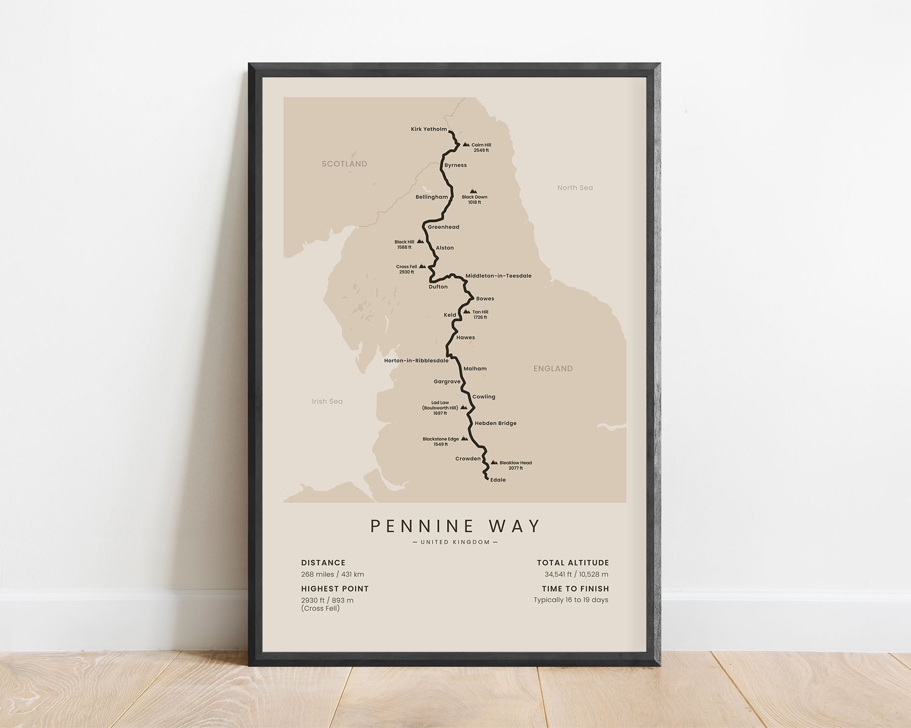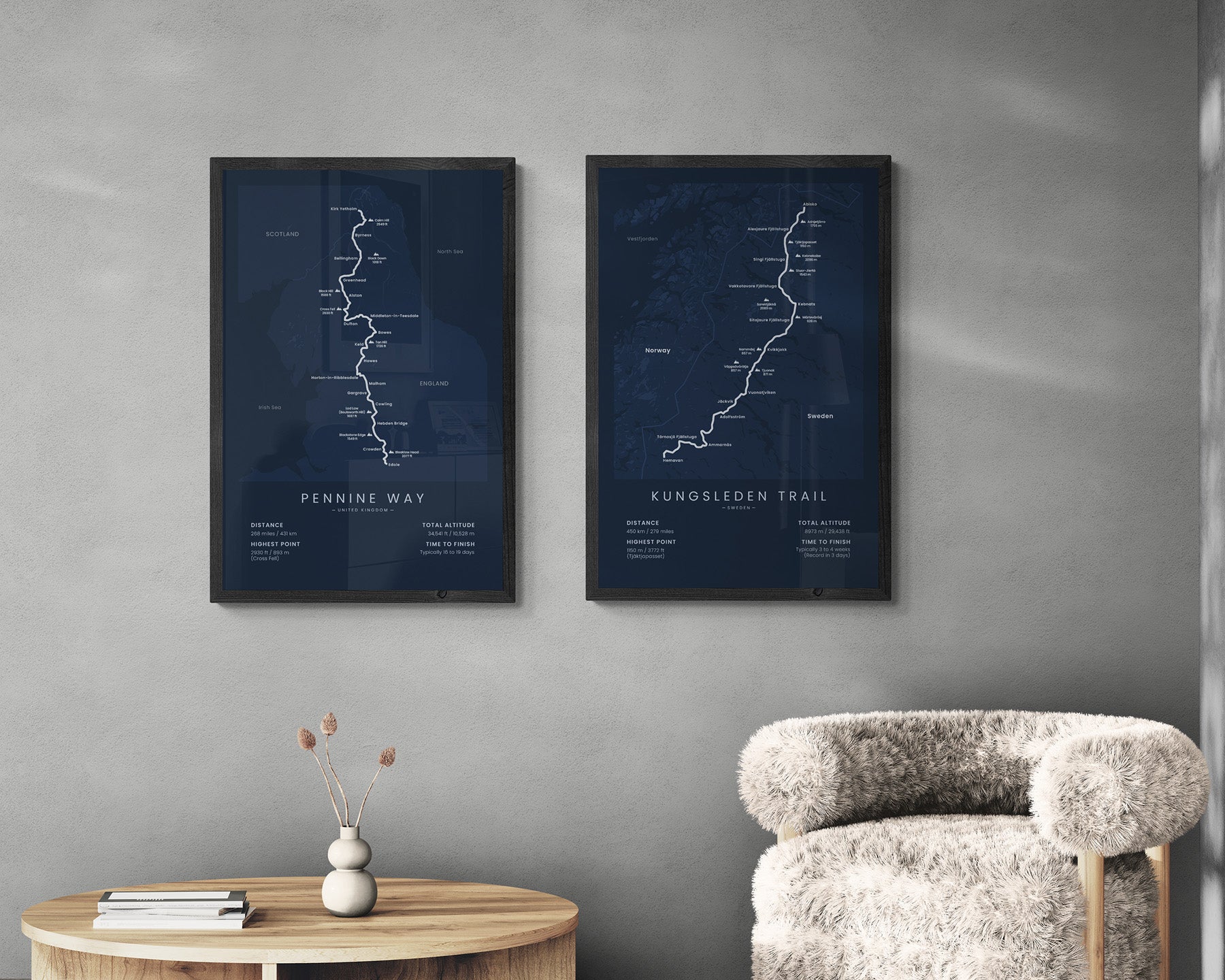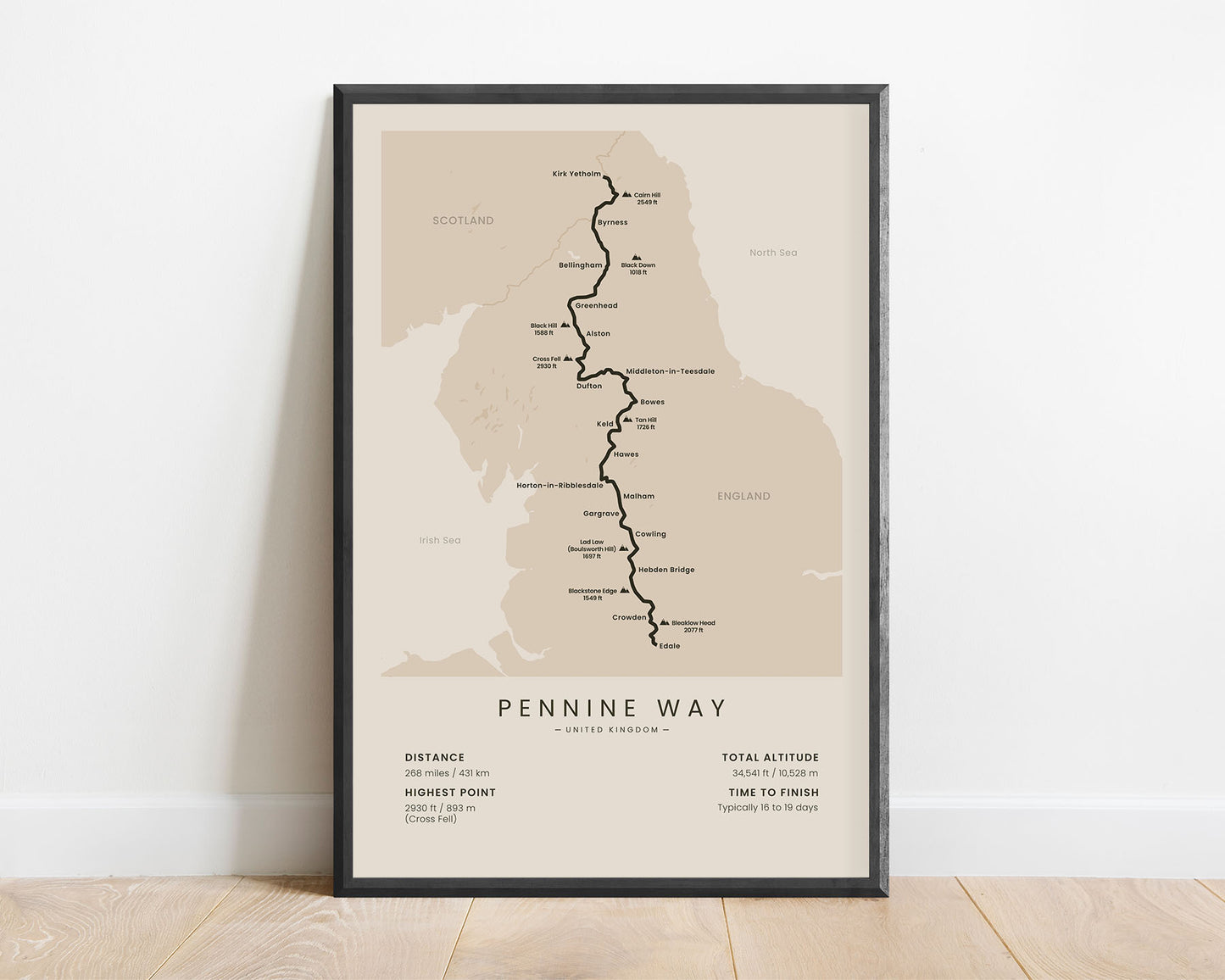
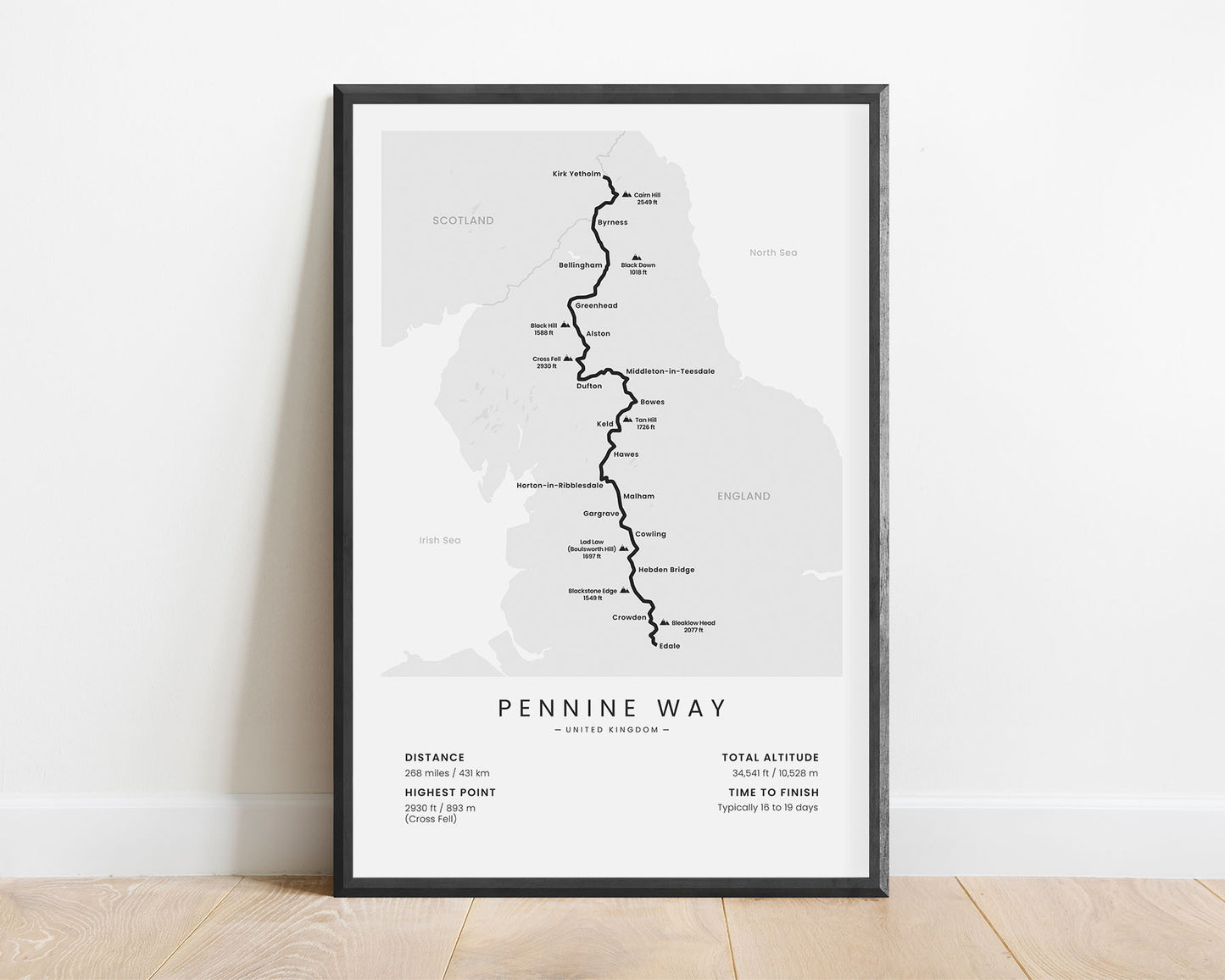
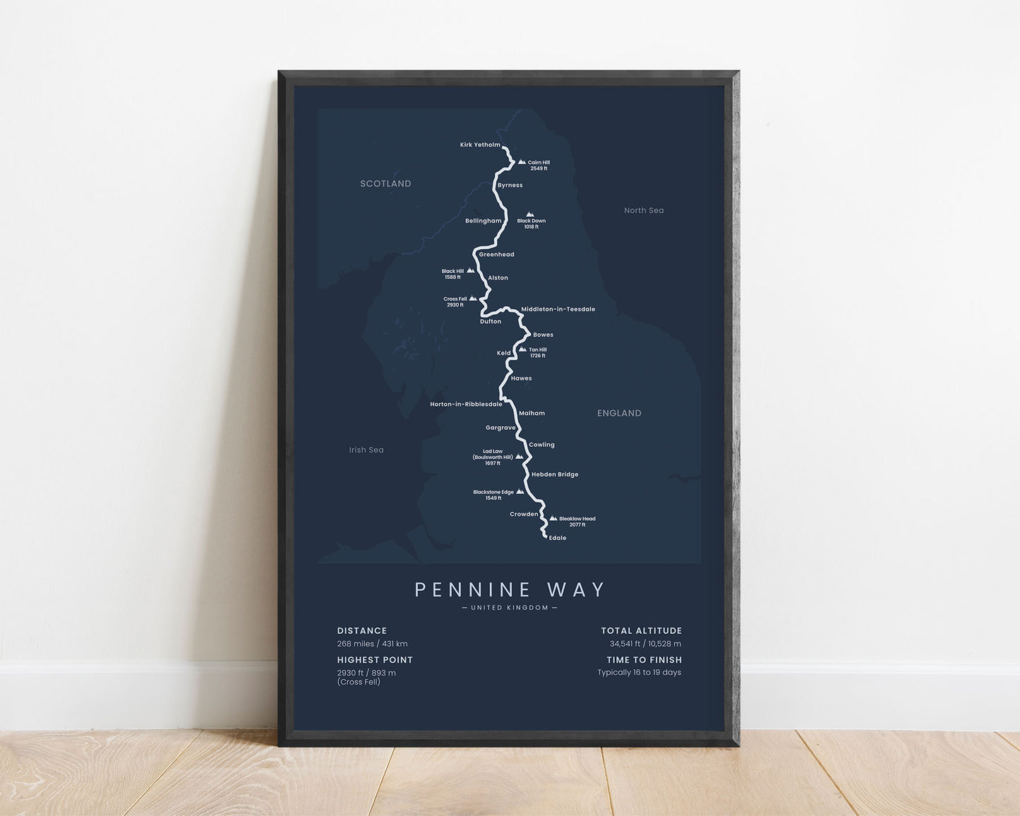
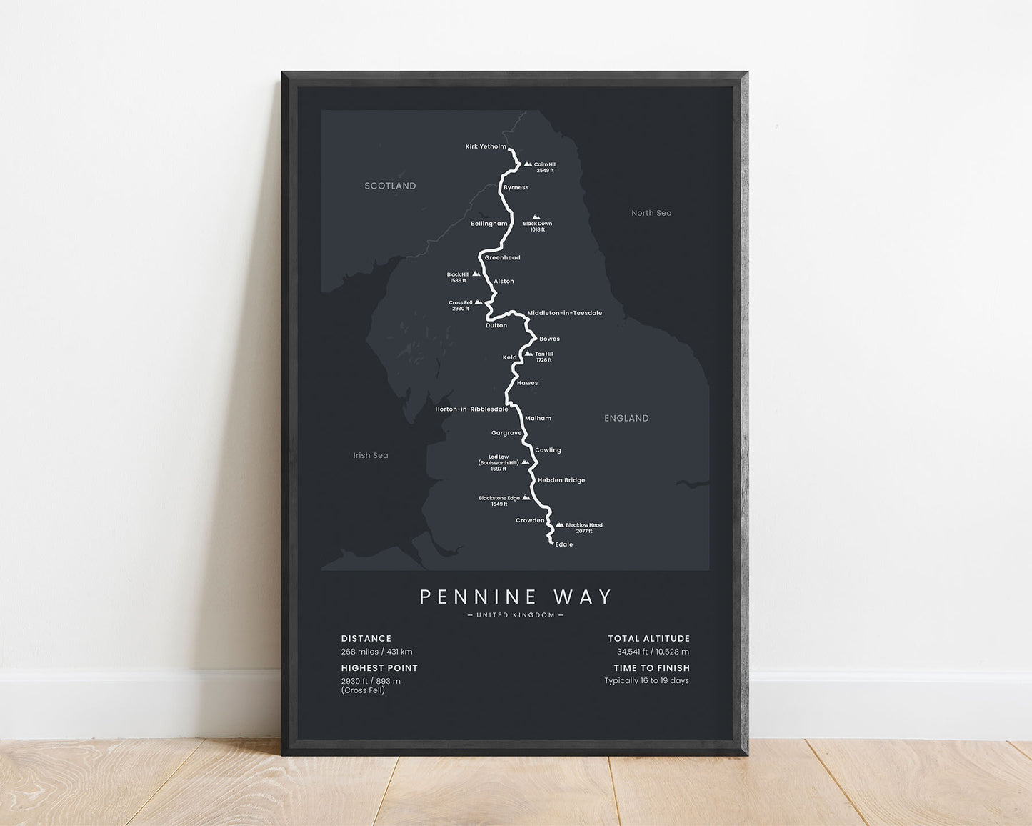
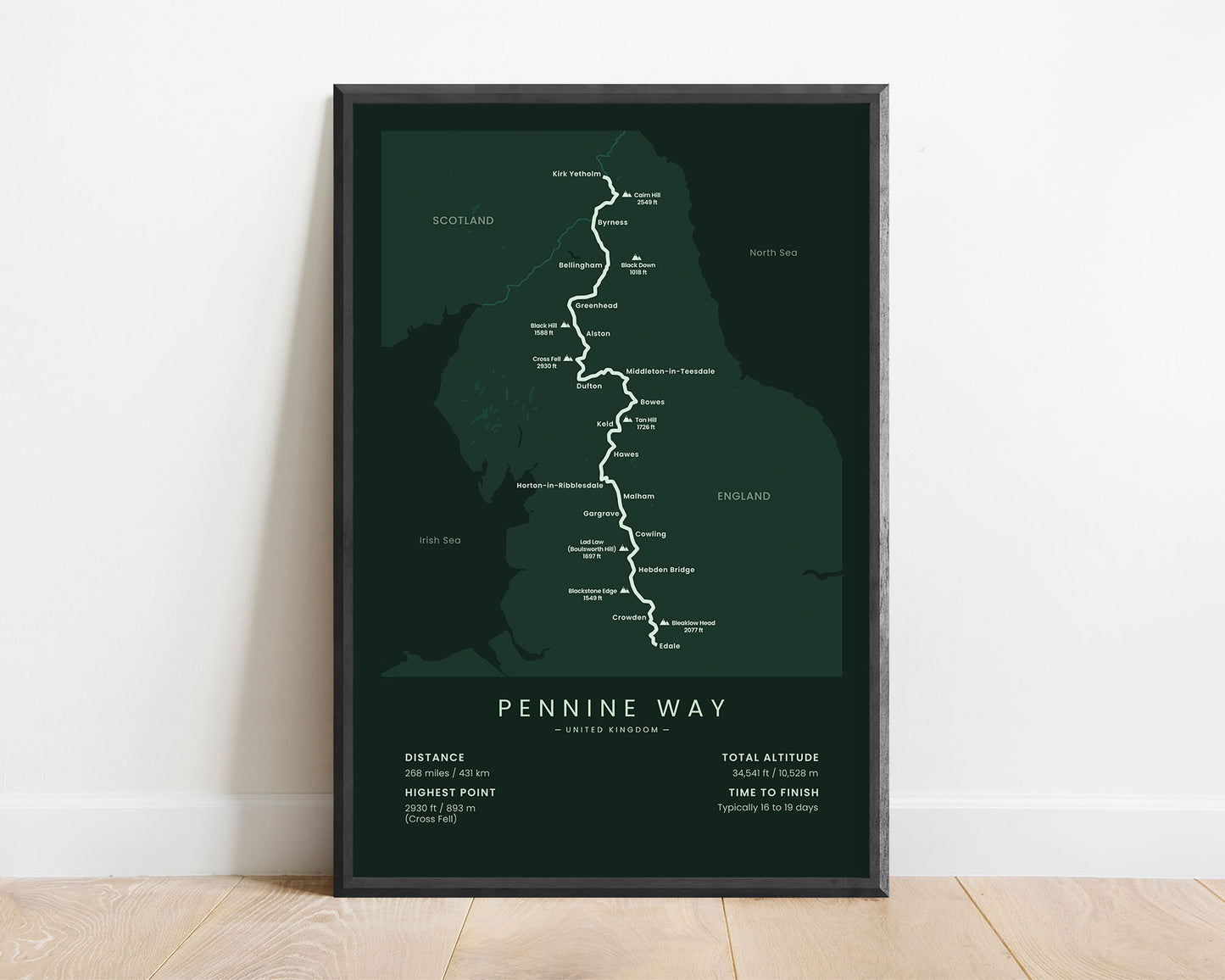

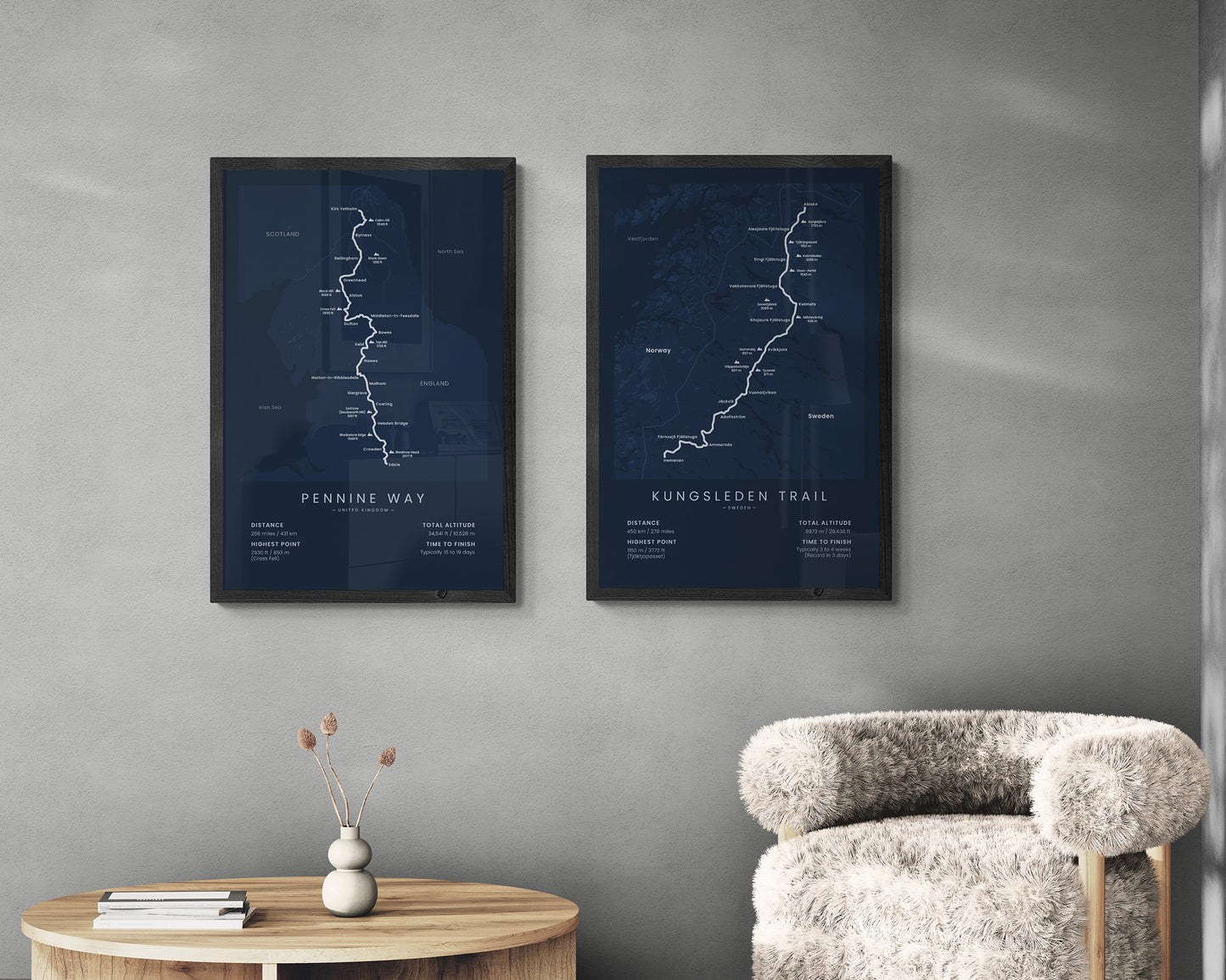

Wall art that shows the Pennine Way hiking trail map. It displays the full route of the trail, the highest peaks, main cities, and essential statistics about the trail. It’s made in a minimalistic way to look good in Scandinavian, modern, and minimal interiors. If you’re planning on doing the Pennine Way, this poster will keep you on track for this goal.
About the Pennine Way
The Pennine Way is one of the most popular and oldest long-distance hiking trails in England. It was first proposed back in 1935, which means that it's almost 100 years old and it's estimated that over 10,000 people complete the trail each year. It starts at the Peak District, Edale, then goes 268 miles across northern England, and finally finishes slightly over the Scottish border, at Kirk Yetholm. The Pennine Way includes spectacular scenery of various nature parks and preserves, with green, rolling hills, lots of rivers and lakes, plenty of wildlife, and lots of smaller towns and villages. It runs along the Pennines Mountain range, so you'll also enjoy good views of the mountains. Other popular hiking trails in England include the Coast to Coast Walk, Wales Coast Path, and the South West Coast Path.
Statistics About the Pennine Way
- Start point: Edale, Peak District, Derbyshire, England
- End point: Kirk Yetholm, Scottish Borders, Scotland
- Total distance: 268 miles / 431 km
- Total altitude gain/loss: 34,541 ft / 10,528 m
- Highest point: 2930 ft / 893 m (Cross Fell)
- Countries crossed: England, Scotland
- Regions crossed: East Midlands, North West, Yorkshire and the Humber, and the North East
- Points of Interest: Peak District National Park, Yorkshire Dales National Park, North Pennines AONB, Northumberland National Park
- Time to finish: Typically 16 to 19 days

