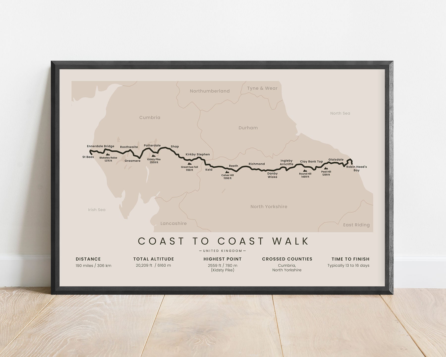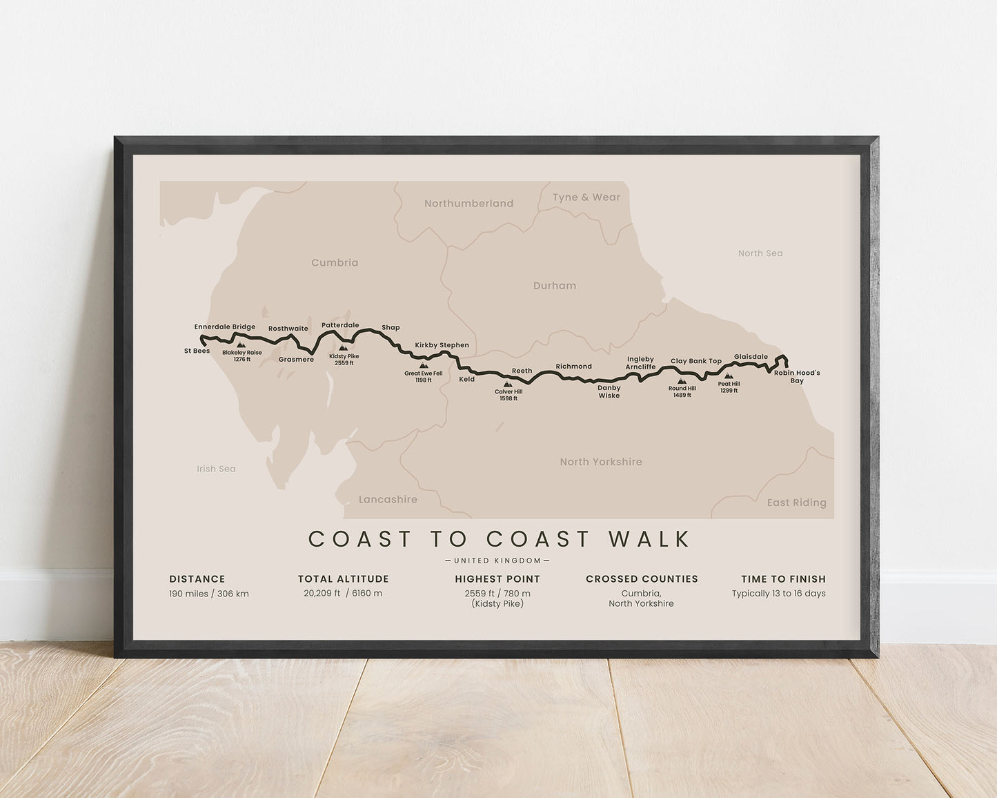
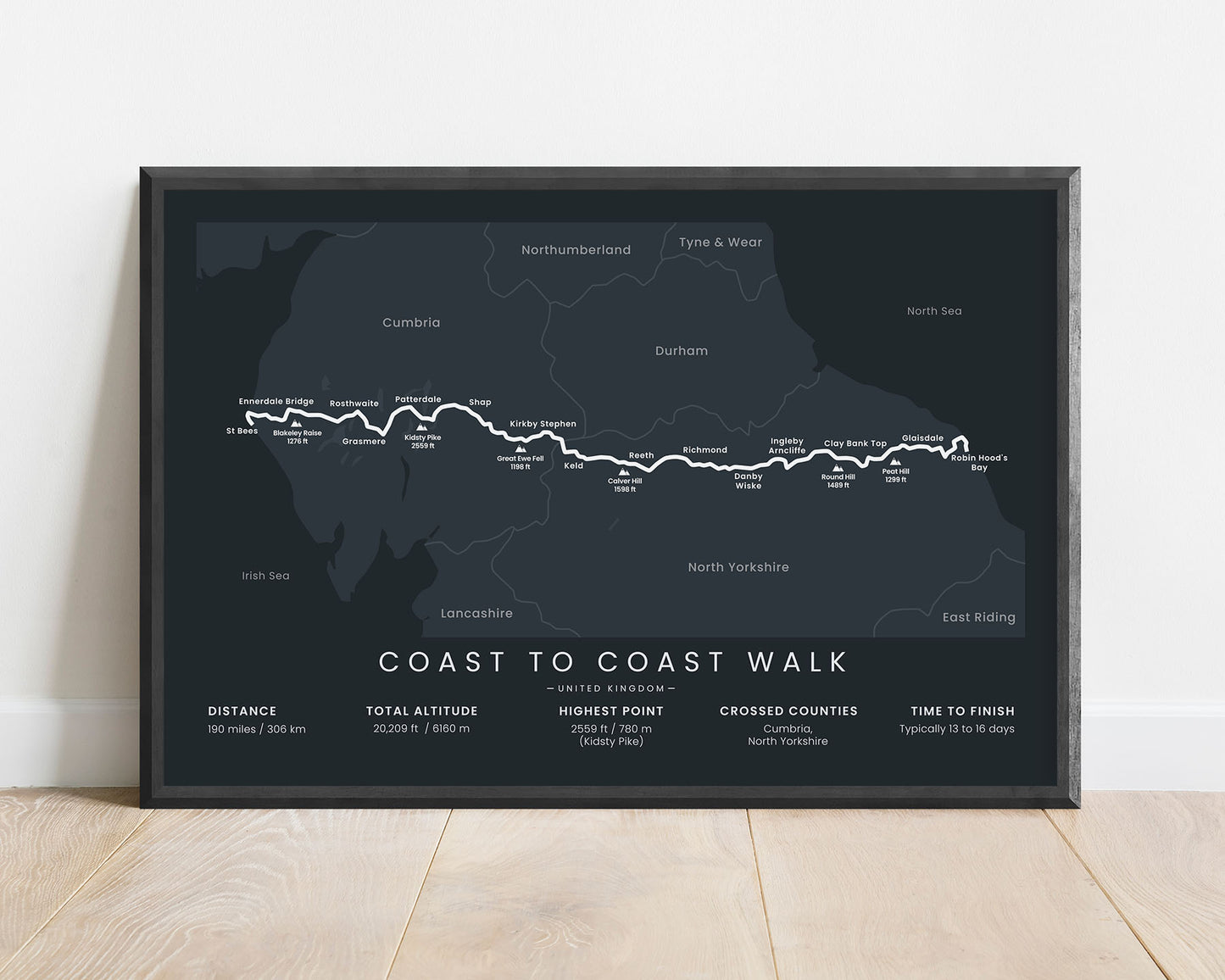
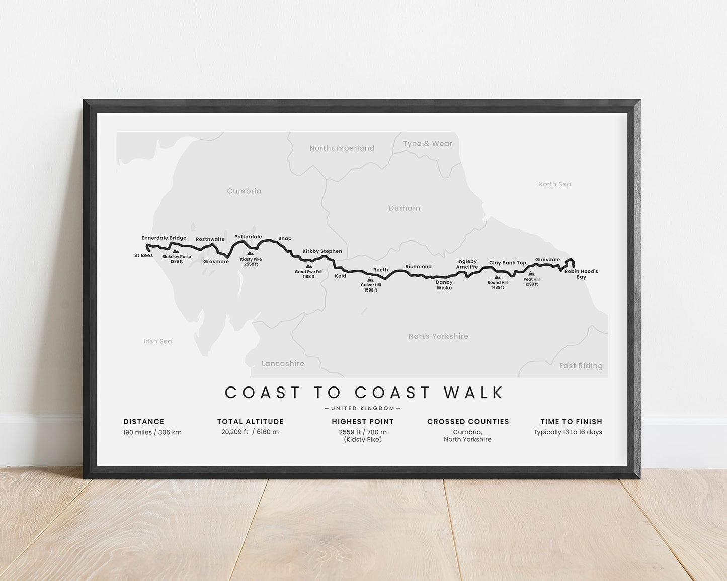
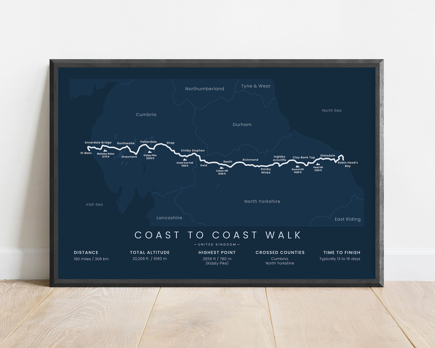
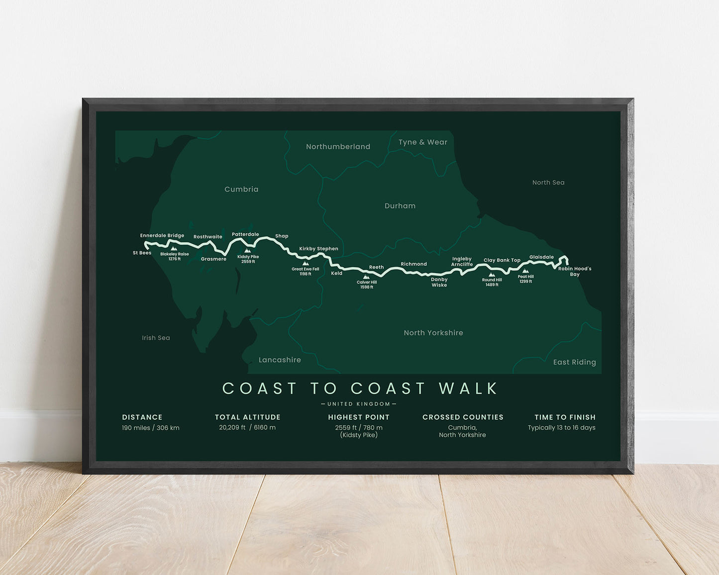


A print that displays the map of the Wainwright’s Coast to Coast Walk in England. It shows the entire route of the trail from St Bees to Robin Hood’s Bay, the main peaks and cities along the way, crossed counties of England, and other important statistics about the trail. It’s made in a minimal style to fit into most minimal, modern, and Scandinavian interiors.
About the Coast to Coast Walk
The Coast to Coast Walk (other called Wainwright's Coast to Coast Path) is a long-distance hiking trail in the United Kingdom. It's named after Alfred Wainwright, who first proposed the trail back in 1973. Today, it's one of the most popular hiking trails in England. It starts at a coastal village on the west coast, Irish Sea, called Saint Bees, then stretches 190 miles across Cumbria and North Yorkshire, and finally ends at the east coast, North Sea, at Robin Hood's Bay. Although it's still an unofficial trail, it's currently being waymarked and made into a National UK trail. During the trail, you'll encounter three national parks - the Lake District, the Yorkshire Dales NP, and the North York Moors NP, and the trail itself goes over low-altitude hills with excellent rural scenery. Other popular long-distance trails in the UK include the Wales Coast Path, the Pennine Way, the Ridgeway, and the South West Coast Path
Statistics About the Wainwright's Coast to Coast Walk
- Start point: St Bees, Irish Sea, Cumbria, United Kingdom
- End point: Robin Hood's Bay, North Sea, North Yorkshire, United Kingdom
- Total distance: 190 miles / 306 km
- Total altitude gain/loss: 20 209 ft / 6160 m
- Highest point: 2559 ft / 780 m (Kidsty Pike)
- Countries crossed: United Kingdom (England)
- Counties crossed: Cumbria, North Yorkshire
- Time to finish: Usually 13-16 days
- Best time to hike: Maj-June or September-October

