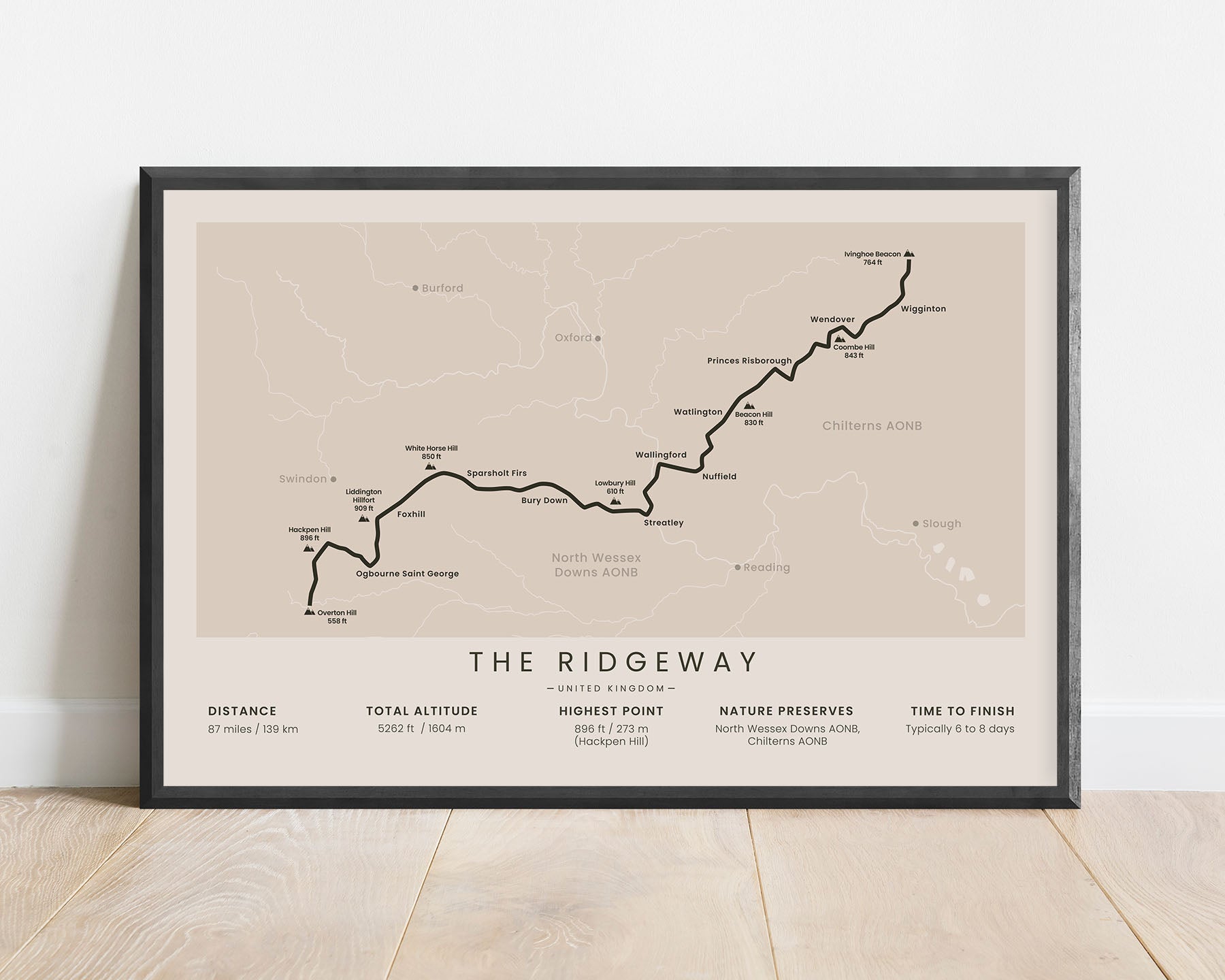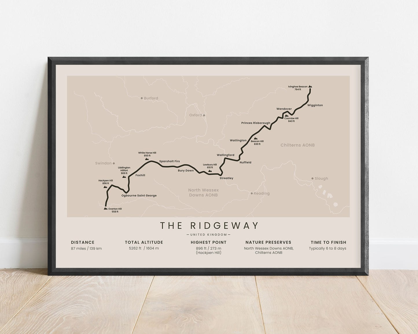
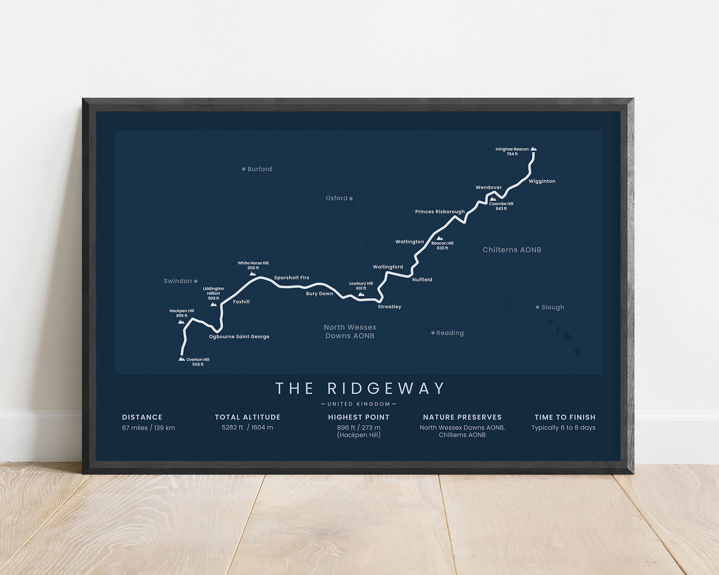
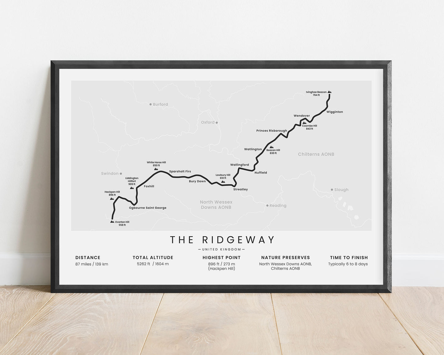
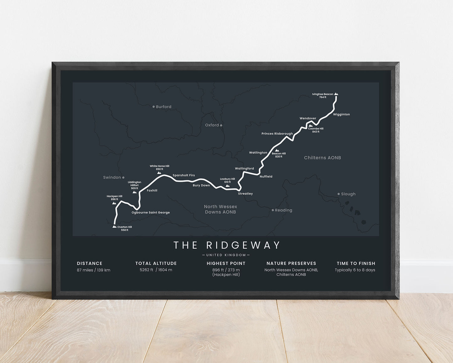
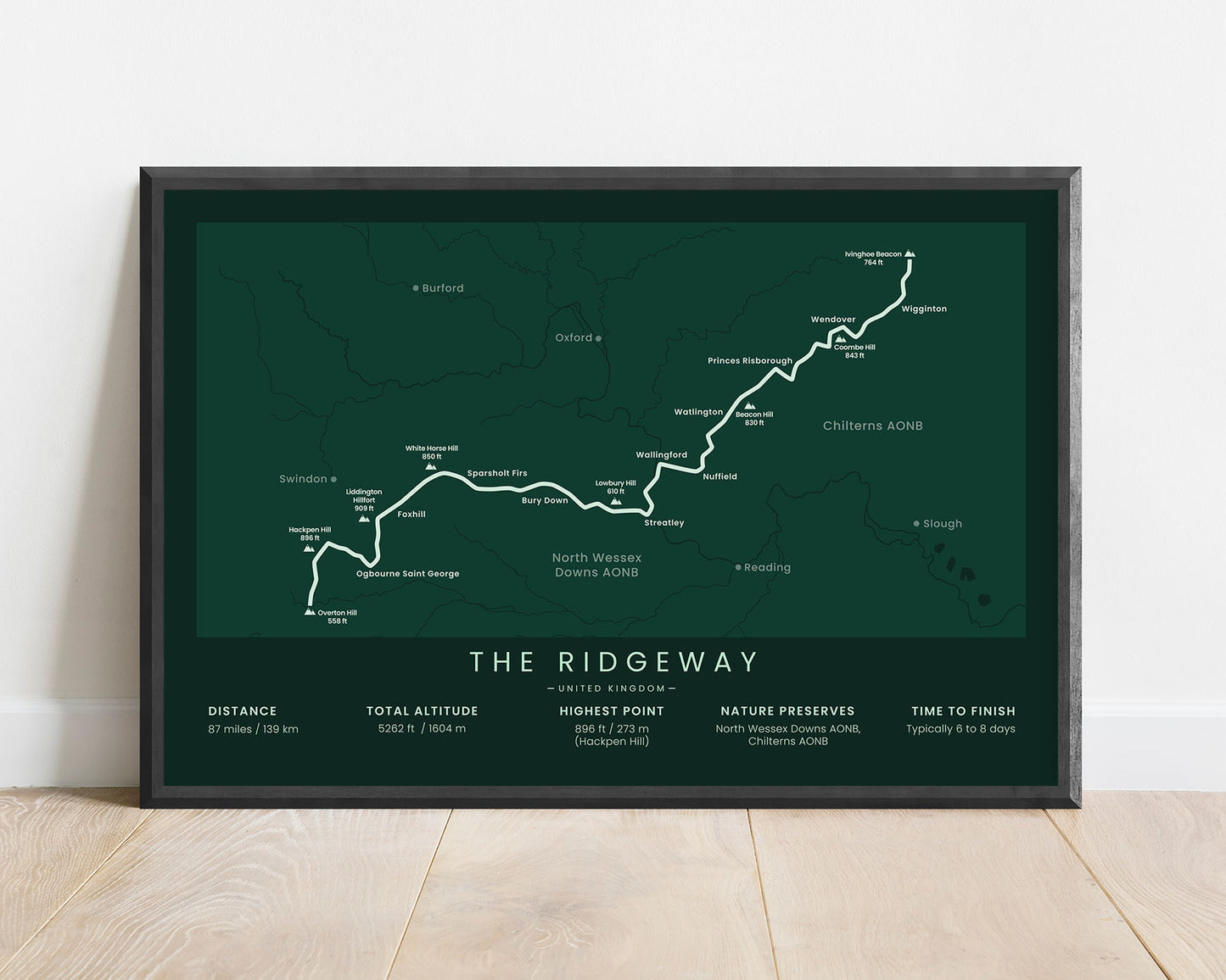


A poster that shows the map of the Ridgeway hiking trail in Southern Central England. It displays the full route of the trail, the highest hills along the way (Overton, Hackpen, Liddlington Hillfort, White House, Beacon, and others), the main cities and villages (Foxhill, Wallingford, Wendover, and others) as well as the most important statistics about the trail at the bottom. It’s offered in several different color and size options to look good in Scandinavian, minimalistic, and modern homes.
About the Ridgeway Trail
The Ridgeway is one of the most popular and oldest hiking trails in England. It's located in South Central England in the Nature Preserves of North Wessex Downs AONB and Chiltern Hills AONB. It follows an ancient path on top of the chalk hills originally used by travelers, soldiers, and merchants. Today it's a very sparsely populated region, with many green hills, pastures, and rivers, which is why this trail is so popular. The Ridgeway is considered a fairly easy hiking trail because it's waymarked very well, most of the trail is in very good condition, and it isn't very physically demanding. Other popular hiking trails in England include the South West Coast Path, the Wales Coast Path, and the Coast to Coast Walk.
Statistics About the Ridgeway Trail
- Start point: Overton Hill (near Avebury), England
- End point: Ivinghoe Beacon (near Ivinghoe), England
- Total distance: 87 miles / 139 km
- Total altitude gain/loss: 5262 ft / 1604 m
- Highest point: 896 ft / 273 m (Hackpen Hill)
- Points of interest: North Wessex Downs AONB, Chiltern Hills AONB, Berkshire Dawns, Icknield Way
- Time to finish: Typically 6 to 8 days

