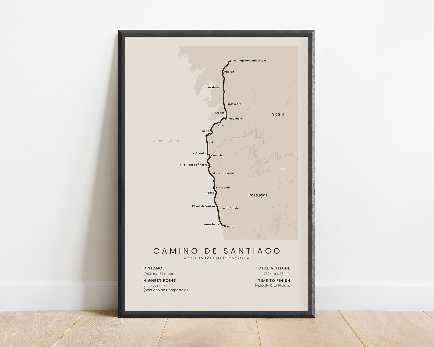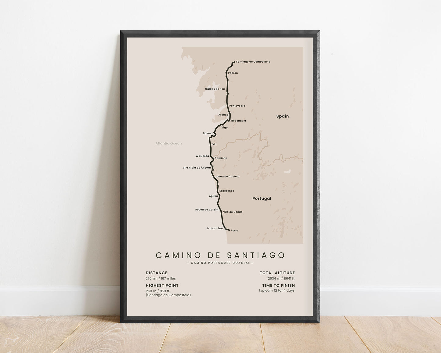
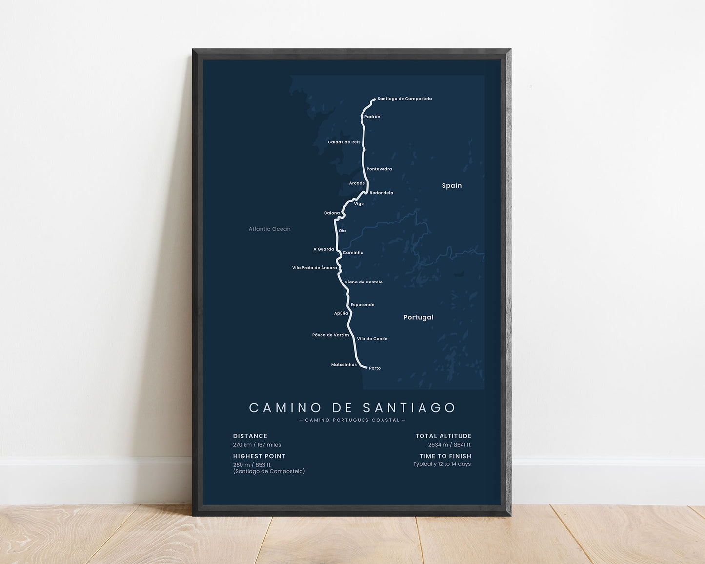
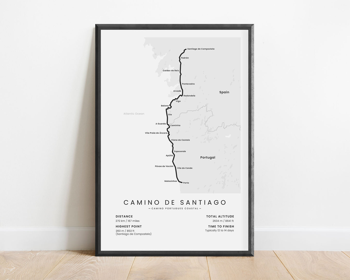
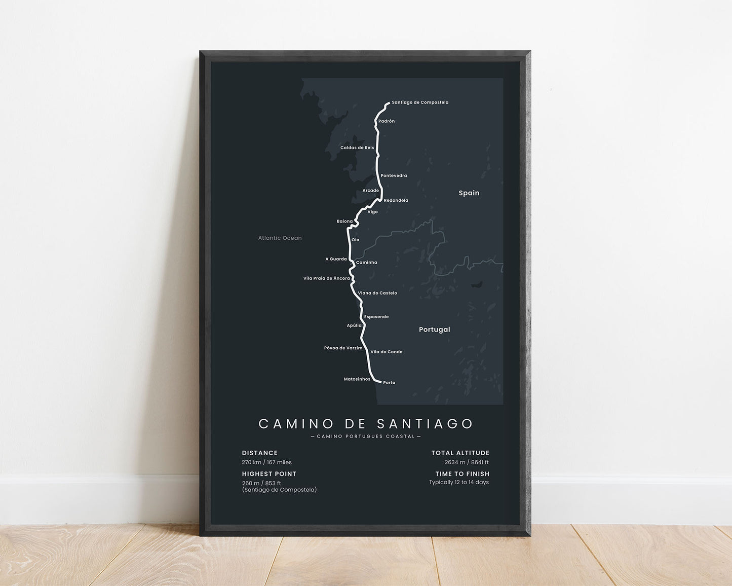
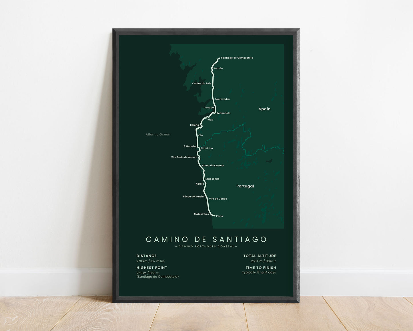


A minimalist map of the Camino Portugues Coastal hiking trail, which shows the full route of the trail, the main towns and cities along the way, the highest peaks, the total distance, elevation gain, highest point, and more. This poster is offered in various minimalistic color options to fit into most interiors. If you know someone who wants to finish this trail, then this poster map could also be a great gift idea.
About the Camino Portugues Coastal Pilgrimage
The Camino Portugues Coastal (other known as the Coastal Way or the Portuguese Way) is a route within the Camino de Santiago (other known as the Way of Saint James) pilgrimage network. It starts in Porto, Portugal, then goes along the Atlantic Ocean coastline until Vilaboa, Spain, and finally finishes at Santiago de Compostela, Spain. It's one of the shorter Camino de Santiago routes, and also includes the largest amount of beaches along the way, which are easier to hike through during the summer. Because of this reason, many people who hike the Camino Portugues Central, choose to only do the first part of the trail and then finish by walking the Camino Portugues Coastal, which allows for a more diverse thru hike.
Important: There are multiple Camino de Santiago Routes. So if you're buying this print as a gift, make sure that you're buying the correct one! You'll find a list of all the routes that we've covered over here.
Statistics About the Camino Portugues Coastal Hiking Trail
- Start point: Porto, Portugal
- End point: Santiago de Compostela, Spain
- Total distance: 270 km / 167 miles
- Total altitude gain/loss: 2634 m / 8641 ft
- Highest point: 260 m / 853 ft (Santiago de Compostela)
- Countries crossed: Spain, Portugal
- Regions crossed: Porto, Braga, Viana do Castelo, Galicia
- Time to finish: Usually 12 to 14 days
- Best time to hike: May - October

