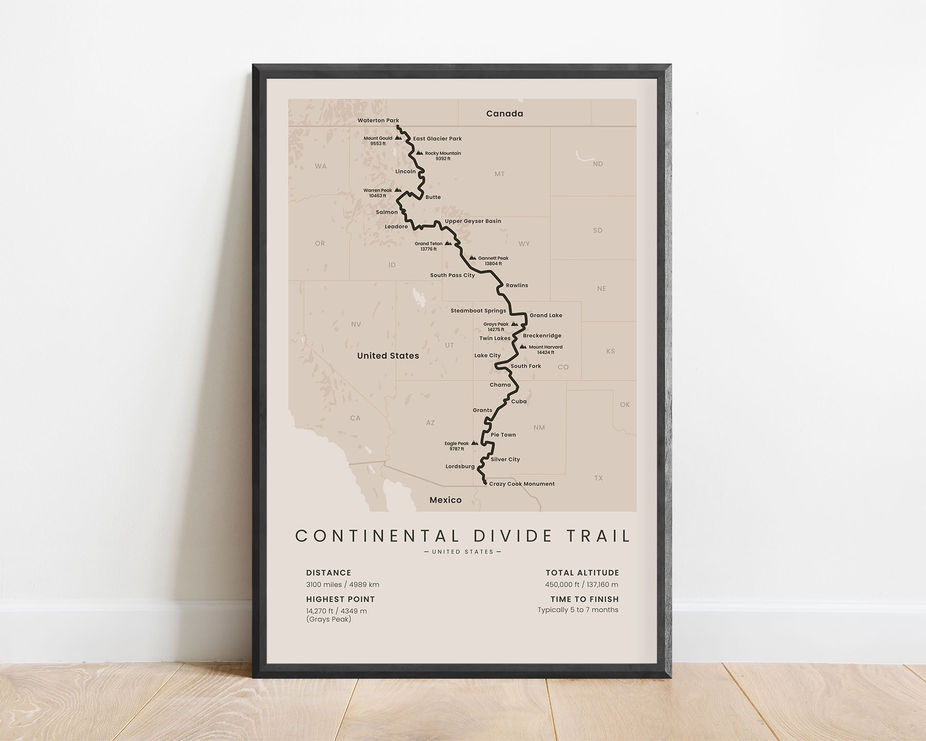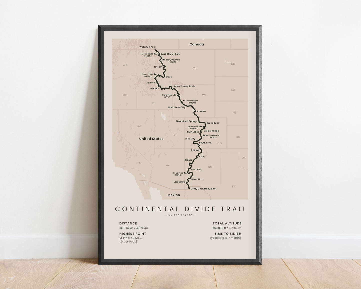
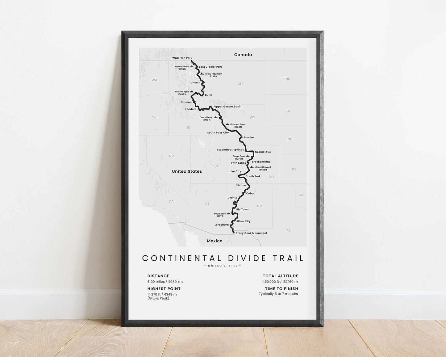
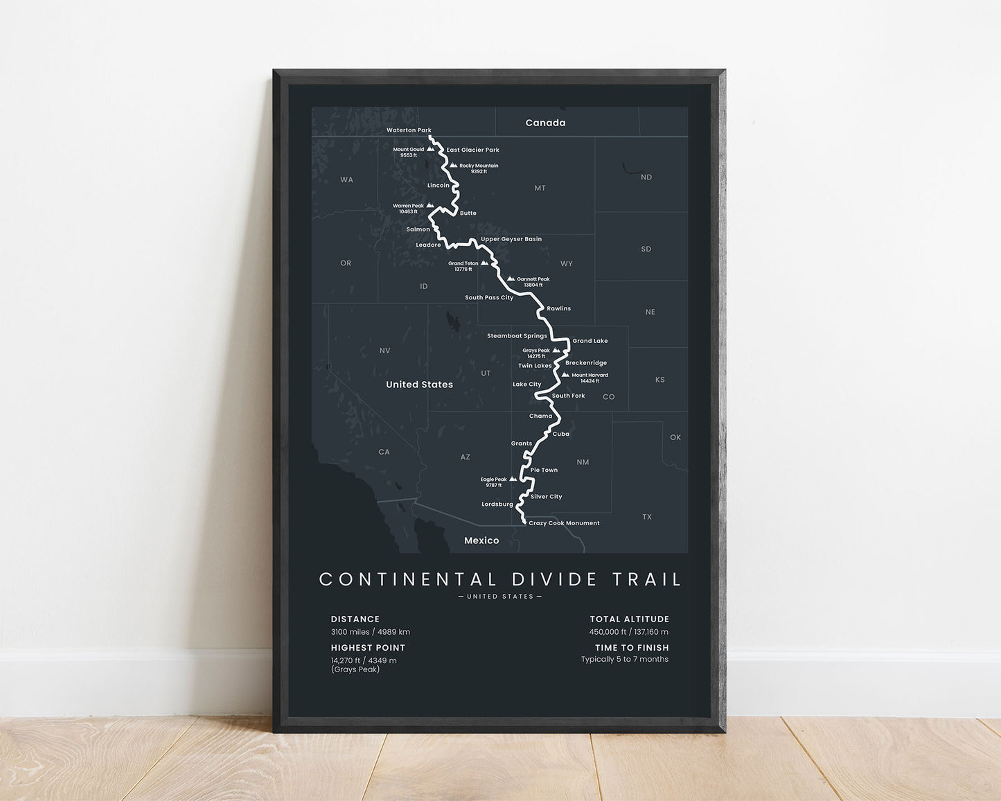
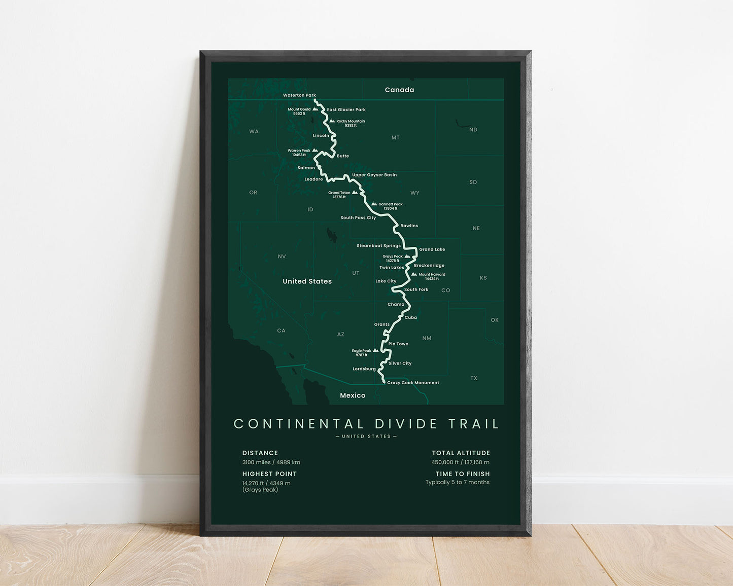
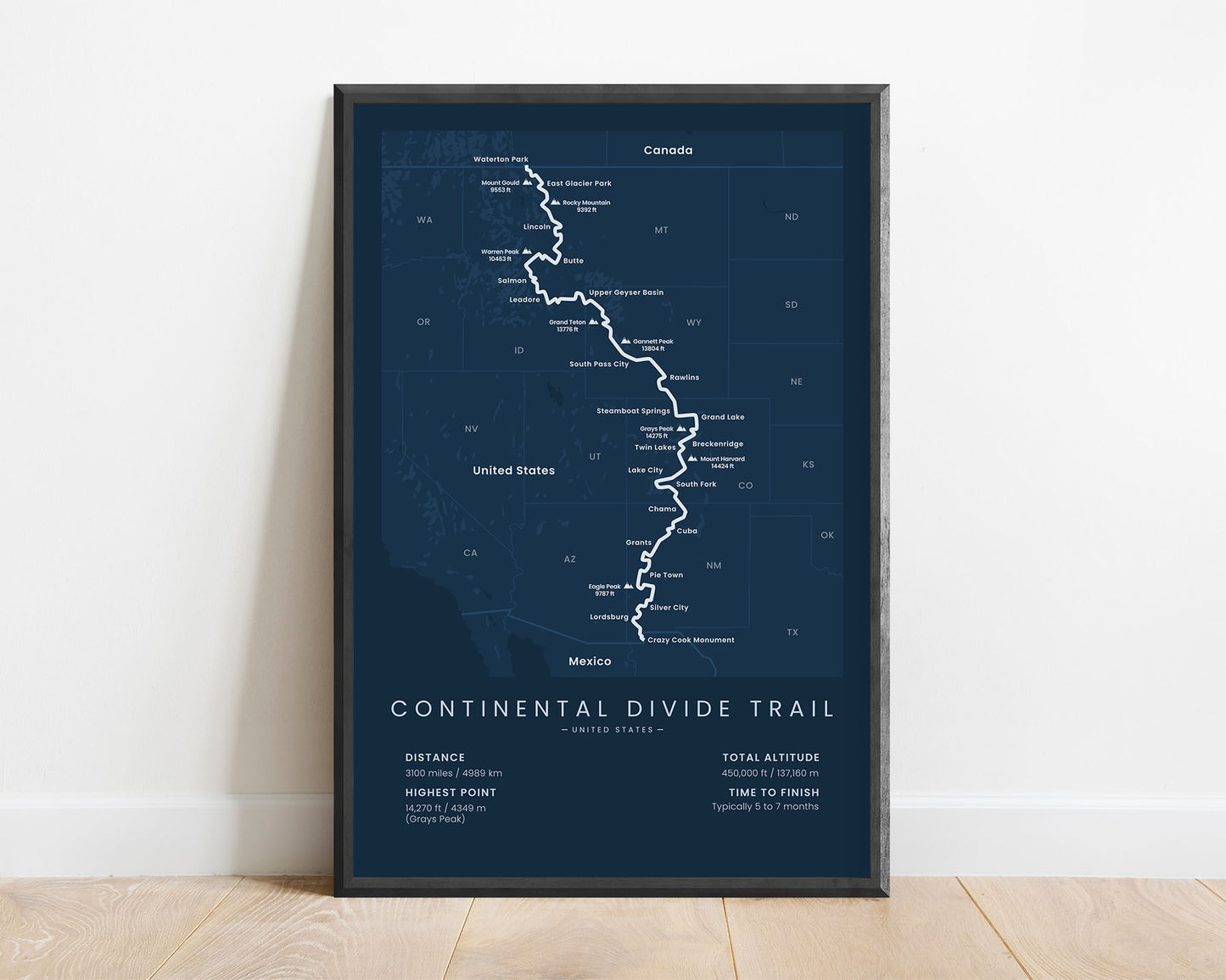


A print that displays the full map of the Continental Divide Trail from Mexico to Canada. It shows the entire route of the CDT, important peaks and villages, total distance, elevation gain, and more. It’s made in a minimal style to fit well into most modern interiors. You can select a print that’s perfect for your interior specifically because it’s offered in five different colors and five different sizes.
About the Continental Divide Trail
The Continental Divide National Scenic Trail (CDT) is unofficially considered to be one of the "triple-crown" thru-hikes within the United States, along with the Appalachian Trail and the Pacific Crest Trail. Officially, it's listed as one of the 11 National Scenic Trails within the US, which means that it's well-maintained, and offers some of the most breathtaking scenery in the United States. It starts at the Southern Terminus (Crazy Cook Monument, on the US-Mexico border), then goes 3100 miles across the Continental Divide of North America, and ends at the Northern Terminus (Waterton Lake, in Alberta, Canada). It's unofficially continued in Canada as the Great Divide Trail. The CDT takes you through very diverse landscapes, starting at a dry and hot climate, then climbing up to alpine mountainous regions, and finally ending at colder northern forests.
Statistics About the Continental Divide Trail
- Start point: Crazy Cook Monument, New Mexico, United States
- End point: Waterton Lake, Alberta, Canada
- Total distance: 3100 miles / 4989 km
- Total altitude gain/loss: 450 000 ft / 137 160 m
- Highest point: 14 270 ft / 4349 m (Grays Peak)
- Countries crossed: United States, Canada
- States Crossed: New Mexico, Colorado, Wyoming, Idaho, Montana, Alberta
- Time to finish: Usually 5 to 7 months
- Best time to hike: April- November

