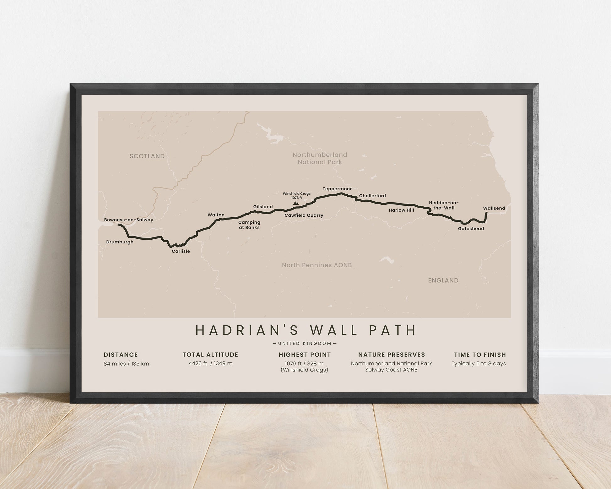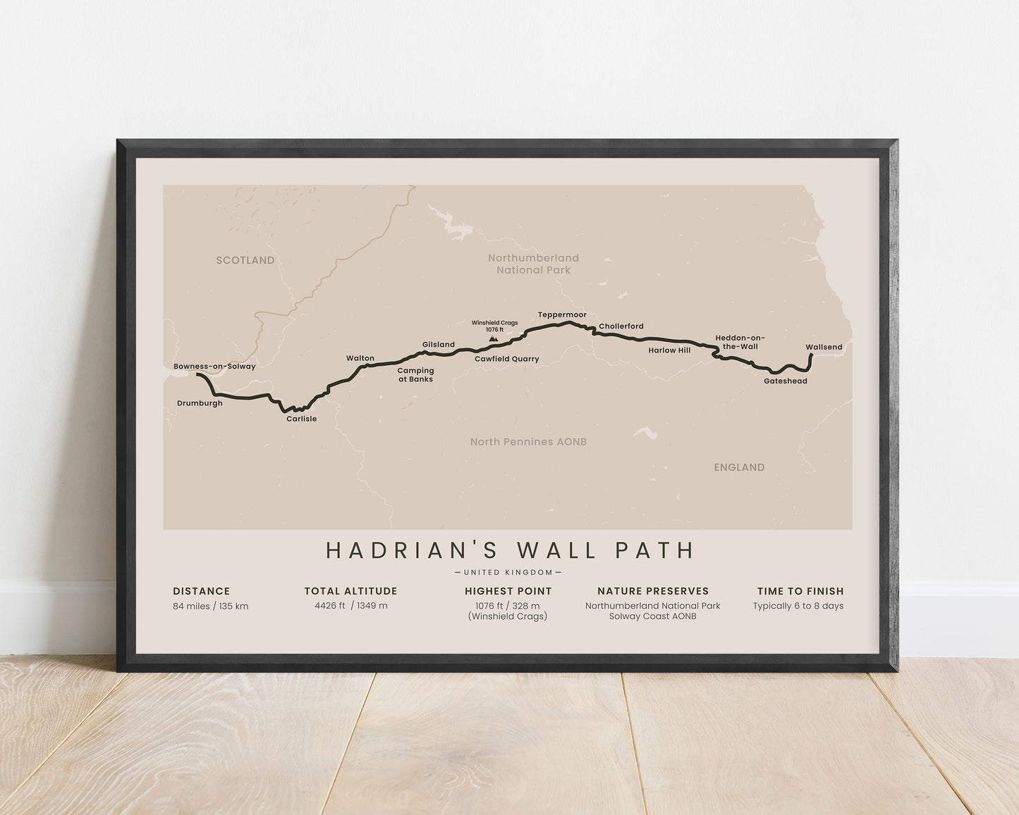
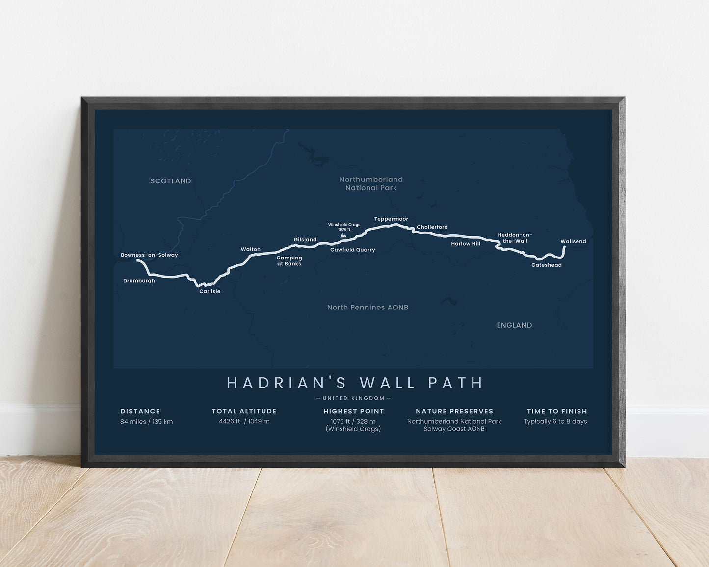
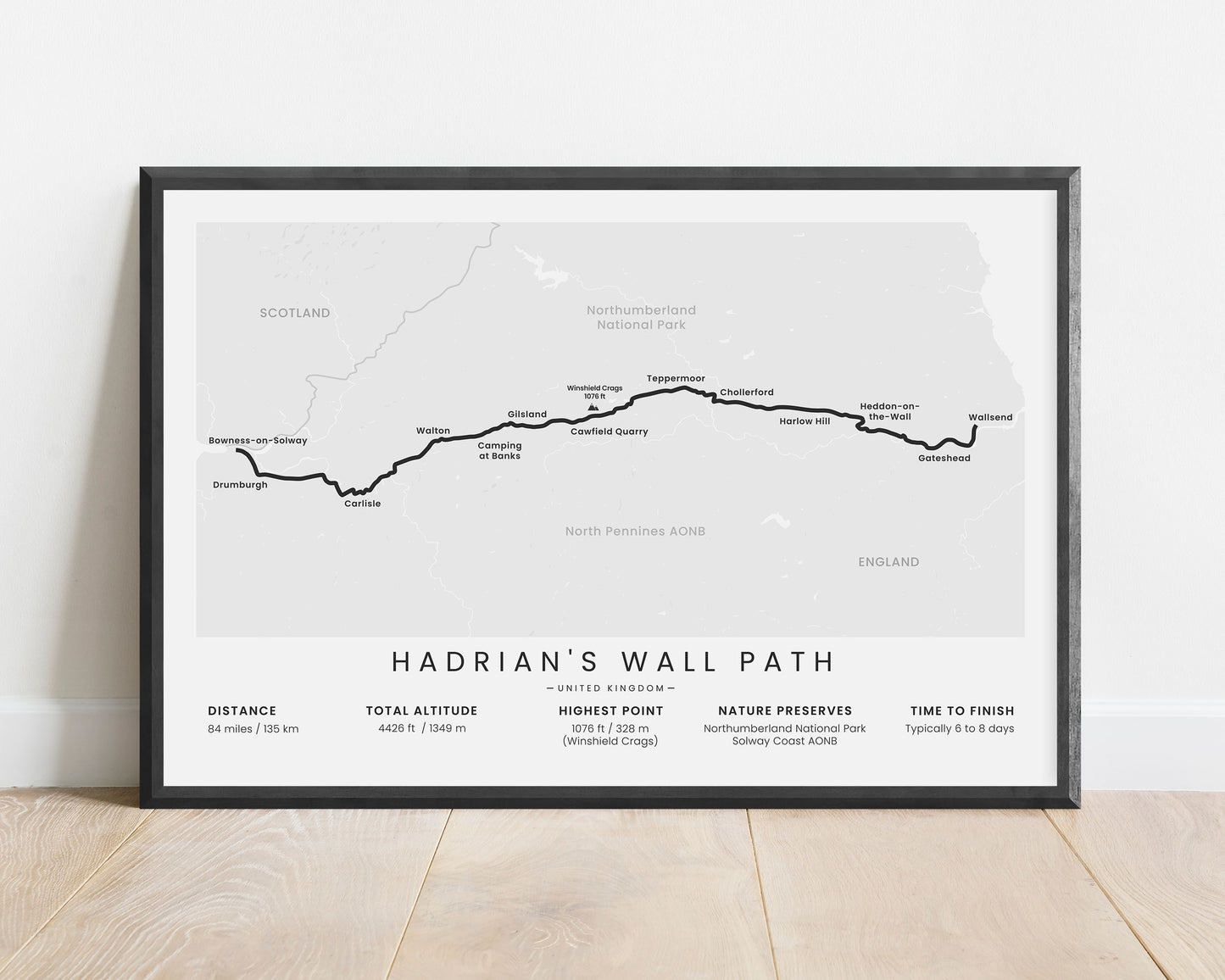
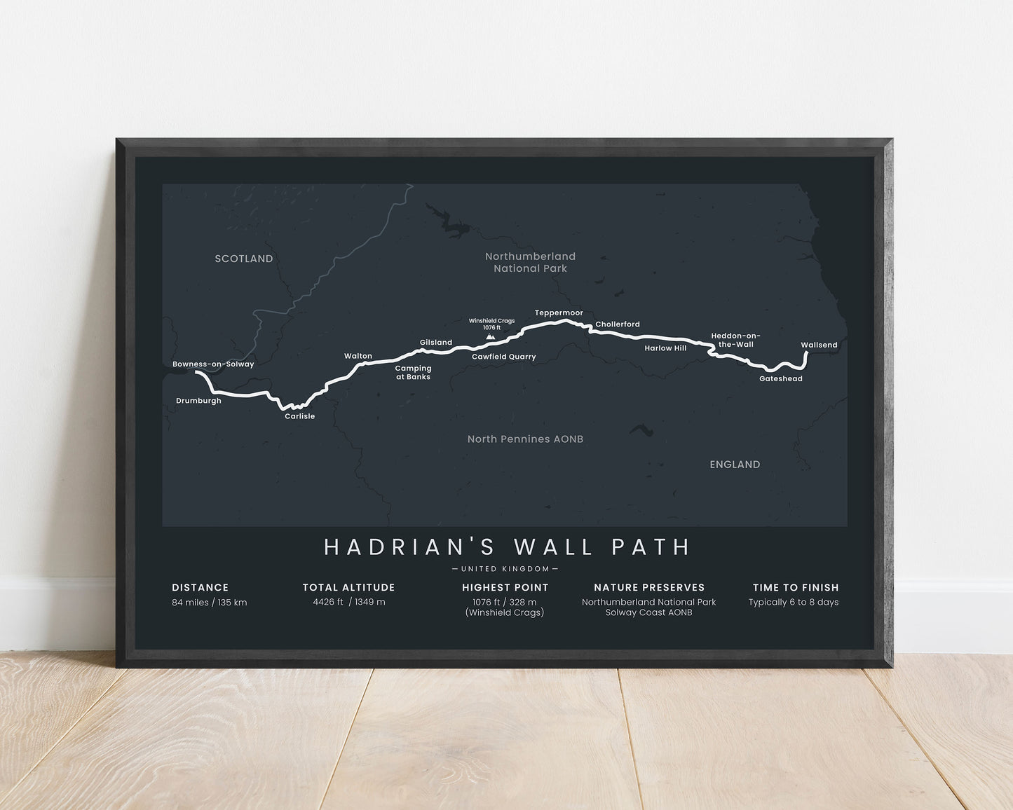
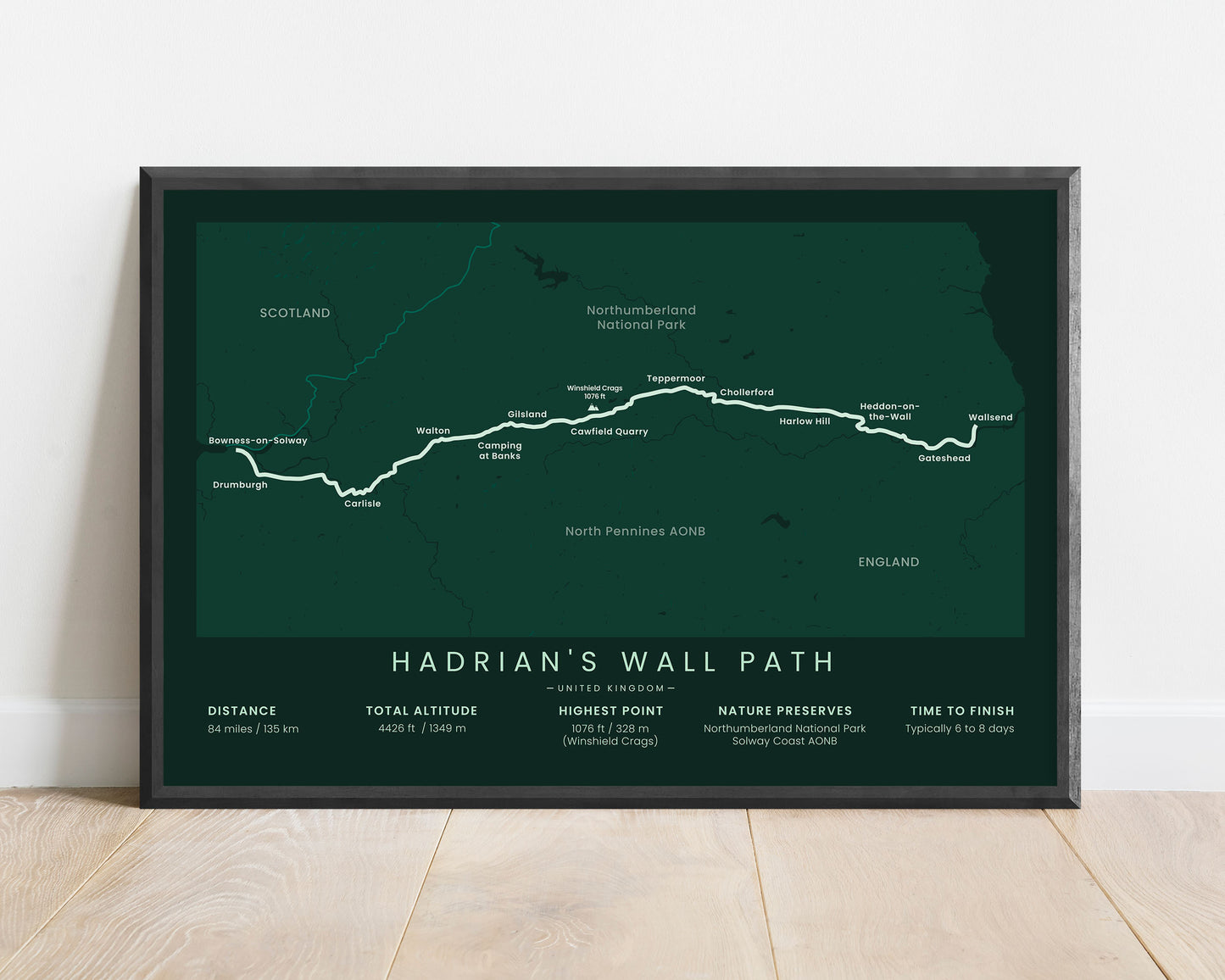


A minimalist print of the Hadrian’s Wall Path in North England. It shows the entire map of the trail, important statistics about it, and key points of interest along the way. It’s offered in multiple color options so that you can customize it to your own interior.
About The Hadrian's Wall Path National Trail
The Hadrian's Wall Path is a cost-to-coast trail in Northern England along the Scottish border. It follows 84 miles from Wallsend to Bowness-on-Solway along the Hadrian's Wall UNESCO heritage site, which was built by the Romans as the northern border wall. The Hadrian's Wall Path is a National Trail that takes you through some of the most beautiful scenery of Northern England. It goes through green rolling hills, many pastures, and natural meadows. Other popular trails in the region include the Pennine Way and the Coast to Coast Walk.
Statistics About the Hadrian's Wall Path
- Start point: Wallsend, North East England, United Kingdom
- End point: Bowness-on-Solway, Cumbria, United Kingdom
- Total distance: 84 miles / 135 km
- Total altitude gain/loss: 4426 ft / 1349 m
- Highest point: 1076 ft / 328 m (Winshield Crags)
- Points of interest: Wallsend, Bowness-on-Solway, Newcastle, Carlisle, North Pennines AONB, Northumberland National Park, Hadrian's Wall
- Time to finish: Typically 6 to 8 days

